|
Jean and I walked from the Costanoa parking lot, north along the road and past the stables. We
carefully crossed Highway 1 and then headed out along the sandy trail toward the beach. Along the
way I noticed lots of ice plant; I remember the Ano Nuevo docent saying that it's an invasive species
which is growing out of control in the area.
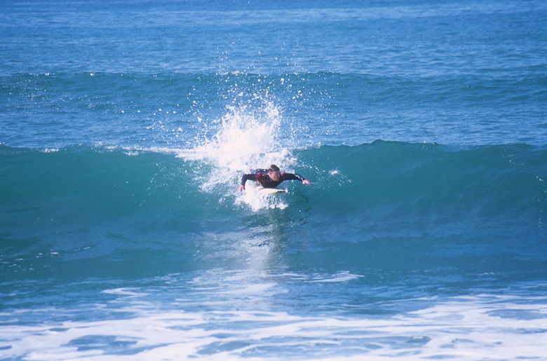
Paddling to catch a forming wave
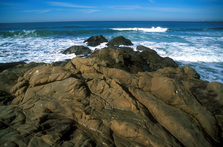
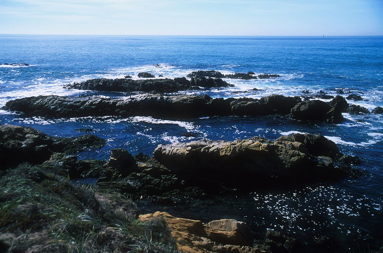
Rocks near the beach
We didn't have to go far before we reached the beach. Jean took a nap while I went out and tried
to take pictures of surfers. Three of them braved the waves. We had a great view of the Pigeon
Point light house up the coast to the north. Waves crashed against rock formations in front of us.
Franklin Point was just down the coast to the south. I spent a long time waiting patiently,
taking pictures of the surfers in various states -- either standing tall, riding the waves, or getting
smashed underneath them.
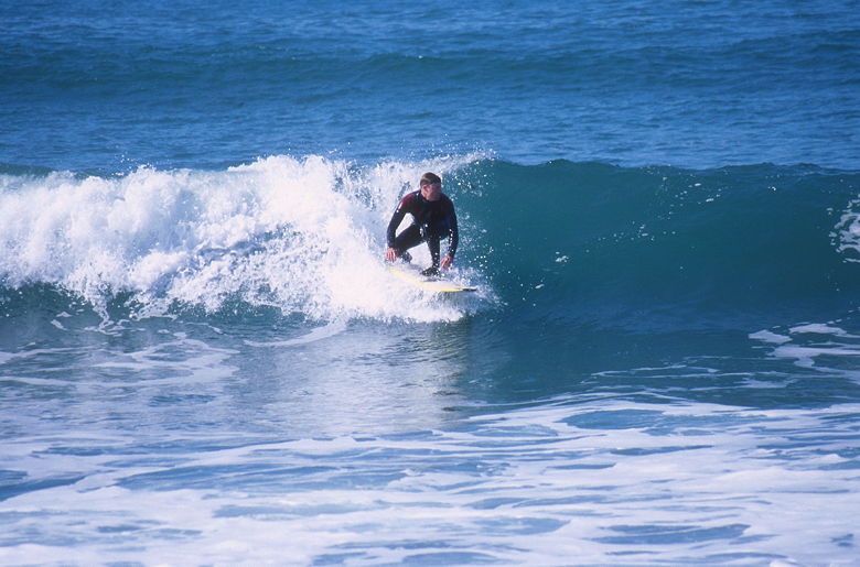
Surfer catching a wave
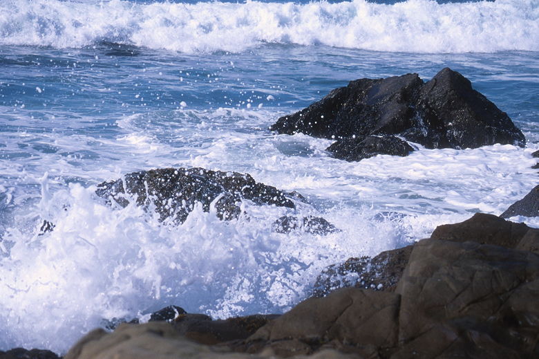
Crashing surf near the beach
The beach had relatively few people, maybe 10 within sight. After taking pictures of the surfers,
we packed up and went on to Franklin Point. There's a boardwalk which heads out to the point.
At this point in time, the boardwalk was in the process of being repaired. The planks were missing
for about 30 feet near the end, but we were able to walk on the beams or on the sand to make it
to the end. The point affords a great view of the ocean, with water to the left and right. There
are a lot of rocks below, which you can get a better view of by following the trail past the
viewing platform (not recommended in heavy surf, of course). We decided to stay right there,
looking out at the birds, the single sailboat, and Jean spotted a seal popping up for air once in
a while.
View from Franklin Point
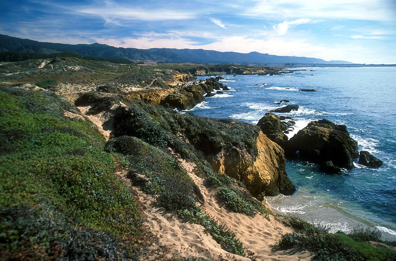
The California coast from Atkinson Bluff
We doubled back and rejoined the trail, heading out to Atkinson Bluff. Along the way we saw lots
of fishermen staked out along the rocks high above the water. I guess the fishing must be good;
I was a bit surprised to see them above such heavy surf, but I don't know anything about fishing.
There's a side trail which heads off to the right. From the map I have, it looks like it visits
some tide pools. We were anxious to get on our way, though, so we skipped it and continued on
the trail back to Highway 1. We crossed the road and walked into the main Costanoa entrance
(Rossi Road), and returned to our car to complete the loop.
| 

