|
Parts of the Queen Charlotte Track are private property, and parts are Department
of Conservation lands. The track doesn't have DOC huts, but does have private cabins which
you can stay in. We were just doing a short stretch of the 71 kilometer trail.
It was hot as we started out from Anakiwa, but the hike was almost entirely shaded so it
wasn't a problem. The trail immediately begins climbing but levels off quickly. The trail
goes through lush green bush, with occasional obstructed views of the water below. The
trail is often right next to the water, 30-50 feet above the surface. Parts of it remind me
of the Rubicon Trail in Lake Tahoe in that respect, though the vegetation is much different.
The water color is just as brilliant, a very light blue.
There's a marker denoting the 1 kilometer mark. Don't be fooled, though -- that was the only
marker I saw, and I know I went further than 2 kilometers. The trail is very popular, as
we constantly ran into people coming the opposite direction. Most of them seemed to be
European tourists. Don't think of this as a wilderness hike -- we heard speed boats,
kayakers, and kids playing on the beach at almost all times during the hike.
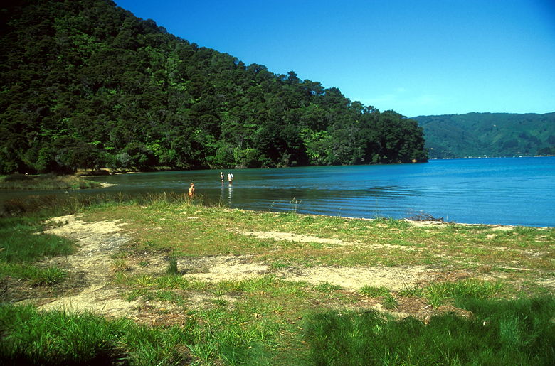
Davies Beach
We found ourselves at Davies Beach after close to 3 kilometers. Jean decided to stop here
and take a nap while I continued on. I did just that, continuing up a short climb before
the trail leveled off again. I passed through more ferns, scattered fungus here and there,
and listened to birds up above in the trees. I generally had to be satisfied with that, as the
views are few and far between. There is, however, a bench where there's a decent view out
onto the water.
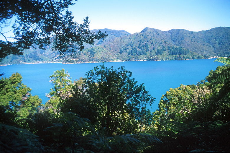
View from the bench
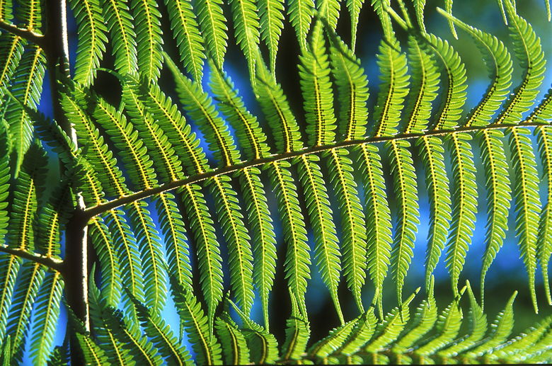
Underside of a fern
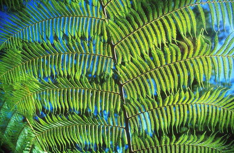
Another fern
Shortly after the bench the trail turned inland, and I turned around. I met up with Jean at
Davies Beach and then we continued the hike back to the car. As we neared the end of the hike,
we were passed by a dozen trail runners coming in the opposite direction. Must have been some
sort of club or something.
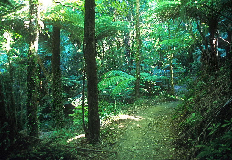
The Queen Charlotte Track
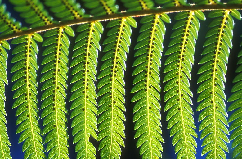
Yet another fern close-up
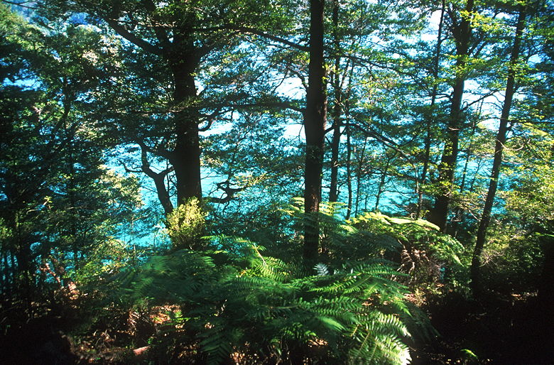
View of the water from the trail
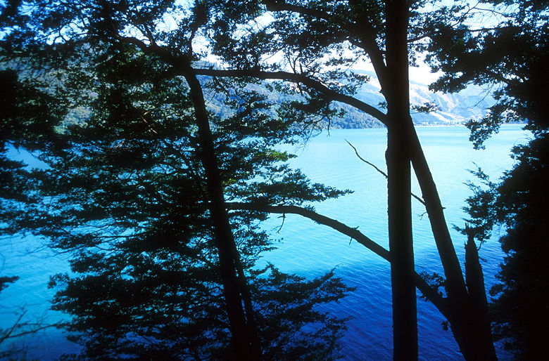
Another view of the water from the trail
At the end of the hike is a sign that says "Blist'd Foot Cafe" with an arrow. That probably
plays on the feeling of hikers who start the hike at the other end (which is the most common
way to do it) and hike 71 kilometers. We, however, were just coming back from a short day
hike, so we skipped the cafe.
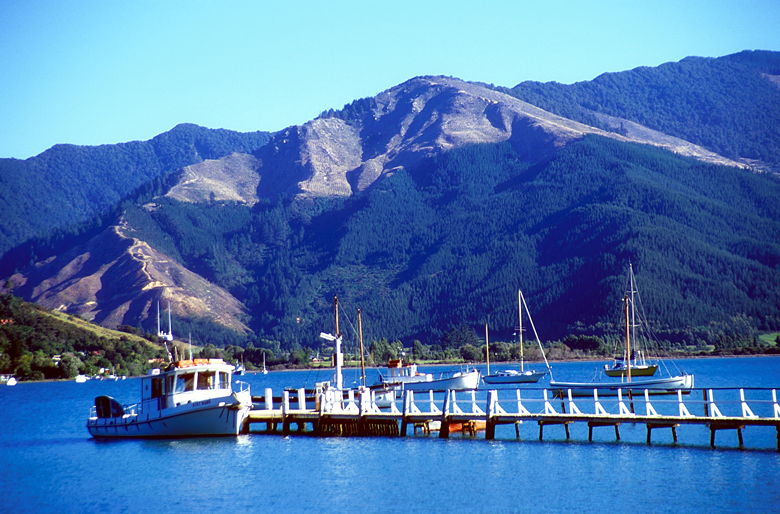
Pier at the end of the trail. Notice the clear-cut on the mountain.
Return to New Zealand Trip Report.
| 

