|
Most people seem to come to Memorial County Park for the car camping or
the picnic grounds. We were there for the hiking, but we didn't encounter
a single other hiker on the trail. So if you like peace and quiet, this
may be the hike for you.
We parked as close to the park entrance as we could, then walked back up
and across the road to the Mt. Ellen trailhead. We shortly reached our
first intersection, and took the right fork to head up to the Mt. Ellen
summit. Supposedly the ascent is gradual, but it didn't seem that way
under the weight of a 20-pound baby. It also didn't help that we managed
to pick one of the hottest days in the past few weeks. Still, it wasn't
all that bad, and the bulk of this section of trail is nicely shaded by
redwood and other tall trees. Because of this, there's not much in the way
of views for a while.
Before we knew it, we had climbed about 450 feet and stood on the summit
of Mt. Ellen. I wouldn't exactly call it a mountain summit, though. It's
probably more accurately described as the crest of a ridge. You're still
surrounded by tall trees blocking the view on all sides, so the only way
you know you're at the summit is that you've reached a high point and
the trail in front of you heads downhill (heading roughly northwest).
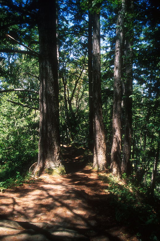
Trees on the summit of Mt. Ellen
After stopping for a brief rest, we continued down the hill. The trail levels
out a bit and within a couple hundred feet comes to a small fence. The
reason for the fence is that on the other side is a sheer drop off a cliff.
You can peer over the other side, and there are some nice lichen-draped
trees, but no real views to speak of. If you want a lunch break, this is your
best bet for a while. We didn't know this, however, and kept going on the
trail, which veers sharply down to the left.
The narrow trail winds its way through a lot of poison oak and thorny
berry bushes on either side. The trail goes in and out of sunlight here.
Since it was such a hot day, we welcomed the shady sections, which seemed to
occur less and less frequently. Every time we broke out into the sunlight,
however, we could see pretty nice views of forested canyons below us
to the left.
We eventually gave up on finding a nice spot to sit down and have lunch. We
just picked the next shady spot of trail and sat down. Since we hadn't
seen anyone else on the trail, I didn't expect that anyone would mind if we
just sat down in the middle of it. There's really no other place to sit
down for a break, as either side of the trail is covered with thorny
bushes.
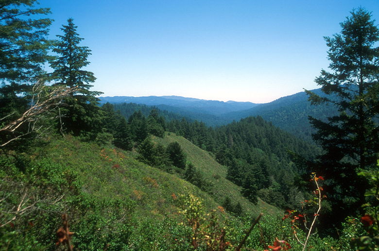
View of the forests
After lunch, we kept going on the trail, shortly passing a bench with a nice
view. After the bench, the trail starts its turn back toward the trailhead,
and also heads downhill. It also re-enters the forest. Shortly thereafter,
we stopped at a small wooden fence. The book I have mentioned a spur trail
here. While the fence says "park boundary", there are no private property
signs or "keep out" signs, so we turned onto the noticeable spur trail here.
The trail is short and easy to follow, except for one small section of
trail which involves ducking a branch and jumping across a 2 or 3 foot wide
ditch. On the other side of the ditch we crawled out into the open
sunlight, crossing grassy fields to a dirt road. Here, there are some
nice views of grassy hillsides to the northwest.
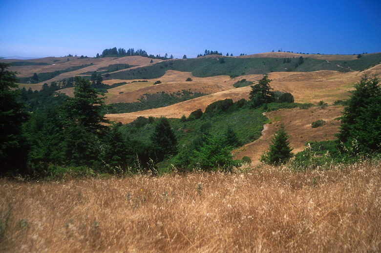
Hillsides to the northwest
After taking in the view, we headed back to the main trail and continued
our descent. The trail is now pretty much shaded all the way back to the
trailhead. It's a pleasant walk through some nice forest, but nothing
really to note except for a nice section of redwood forest just before
reaching Pescadero Road.
We crossed Pescadero Road and joined the trail on the other side, then
turned left onto the Homestead Trail. We crossed a small bridge over
Pomponio Creek, with a view of Pescadero Creek. Soon we were onto
the pavement walking past camp sites. A left turn brought us to the
entrance station and we were soon back at the parking lot. There's a little
campground store here where I'm sure you can probably buy some ice cream
and other refreshments, which would be welcome on a hot summer's day.
| 

