|
The large parking lot was about 2/3 full when we arrived, and the sun was just
beginning to warm things up. There's a bathroom here in case you need it,
as well as a map display. The park is actually quite large; we only covered
a small part of it on this hike.
Heading down the trail, we passed a small field where someone was flying a
kite. A minute later, we were walking down some stairs to the beach. It
was a typical beach with driftwood and rocks; we stayed for a few minutes
and then headed back up the stairs. At the top of the stairs, we turned
left to head onto the Coast Trail.
The Coast Trail winds its way through the edge of the forest, which consists
of arbutus, cedar, and Douglas-fir. There's also some small pockets of
manzanita. The path is undulating, with a series of small ups and downs.
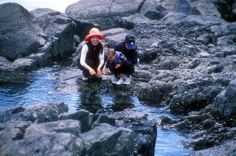
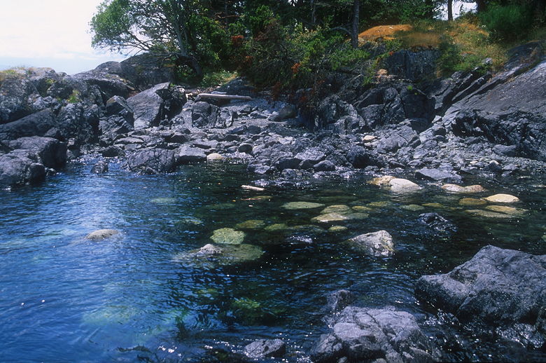
Checking out the tide pool
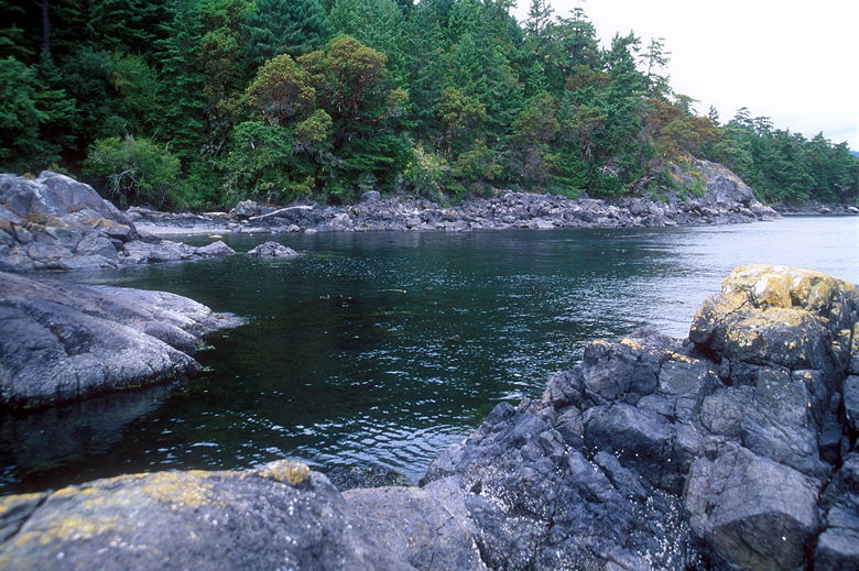
Left side of the cove
After somewhere between 1 and 2 kilometers, we stopped just before Alldridge
Point for lunch. We found a nice open spot of ground above some coastal
rocks, overlooking the ocean about 10 feet below. From here, we could see
about a dozen fishing boats just off the coast. After eating, we made our
way down to the rocks and were delighted by what we saw. It was low tide,
and we could see lots of shellfish attached to the rocks. In the water,
we spotted a school of small fish darting about.
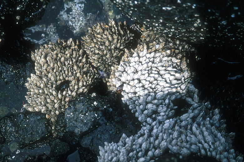
Some sort of shellfish
Closer look at the shellfish
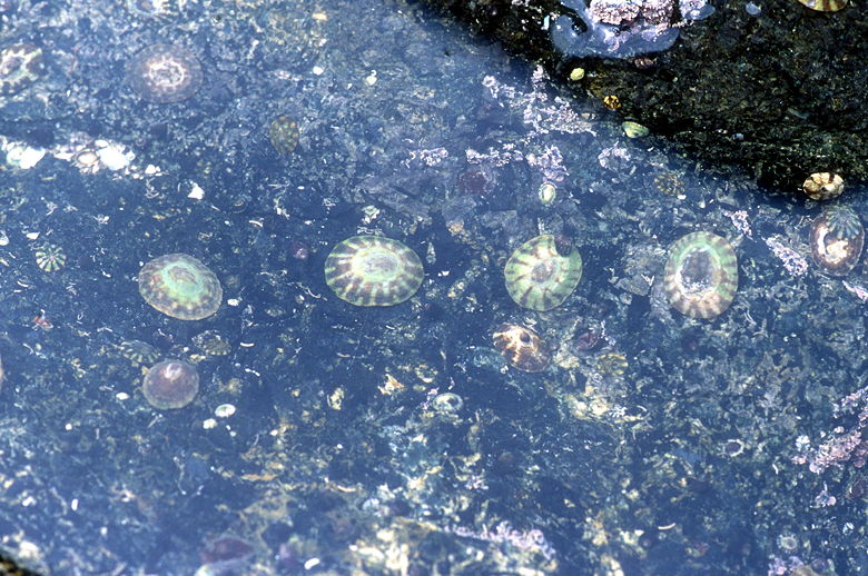
Life under water
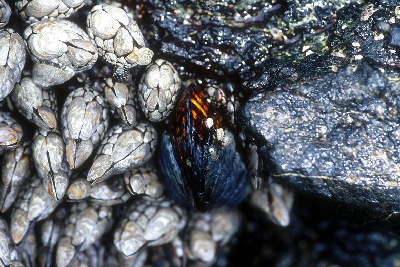
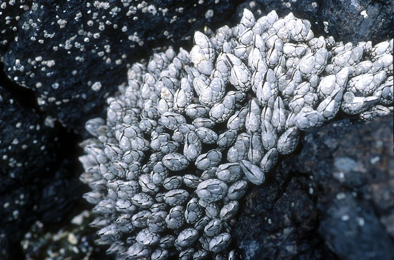
A big mussel
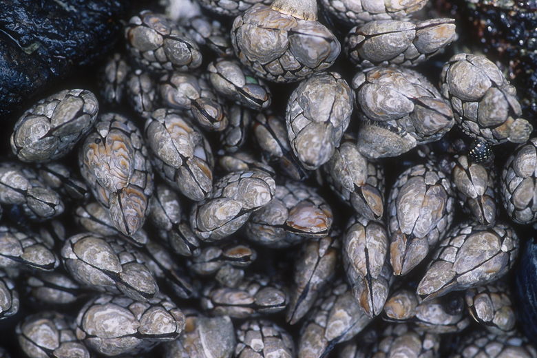
More shellfish
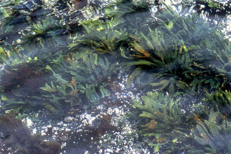
Plants in the water
Right side of the cove
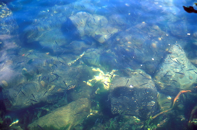
A school of little fish
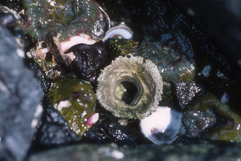
Some sort of sucker-like thing in the tide pool
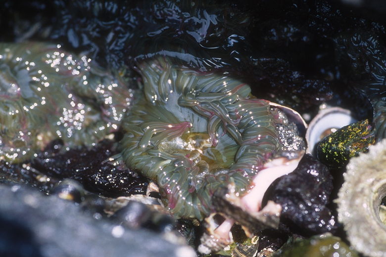
No idea what this is, but it looked cool
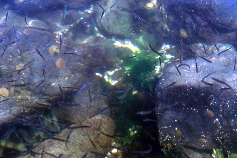
Closer look at the fish
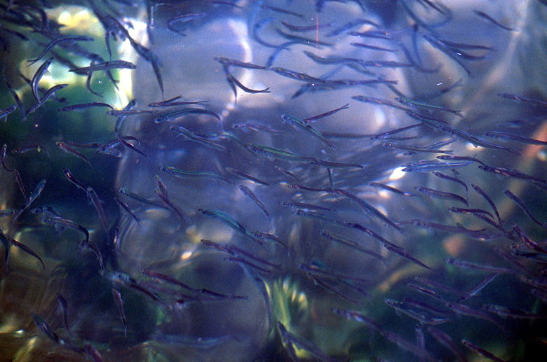
Closer still
After exploring for quite some time, we returned to the trail. Shortly,
we came to the petroglyphs at Alldridge Point, made by the T'Sou-kes
people who lived here for thousands of years. There was very large seal
petroglyph clearly visible, though it looks like it could just as easily have
been made yesterday by some local artist. Apparently there are other
smaller petroglyphs in the area, but we didn't stop to look for them.
Continuing on the Coast Trail, the trail becomes a bit rockier and harder to
follow. Just look for the yellow markers which tell you where the trail
is. We scrambled up and down, through the forest. From here on, there's
no more easy access to the beach. When the trail does get close to the
coast, it's usually about 20-30 feet down a steep cliff to get to the water.
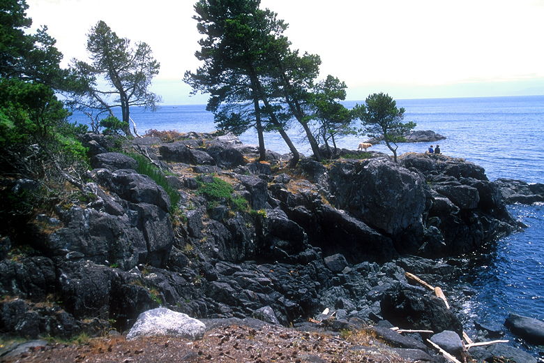
The rocky coast
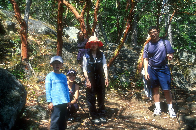
Hikers in front of a small manzanita grove
Eventually, we found our way to some rocks overlooking the ocean, just before
Beechey Head. The wind whipped at us as we took a short break. Then we
rejoined the trail, taking the trail into the forest to return to the
parking lot. If you have the time, you can instead follow the coast a
short distance to reach Beechey Head itself, then backtrack to the forest
trail.
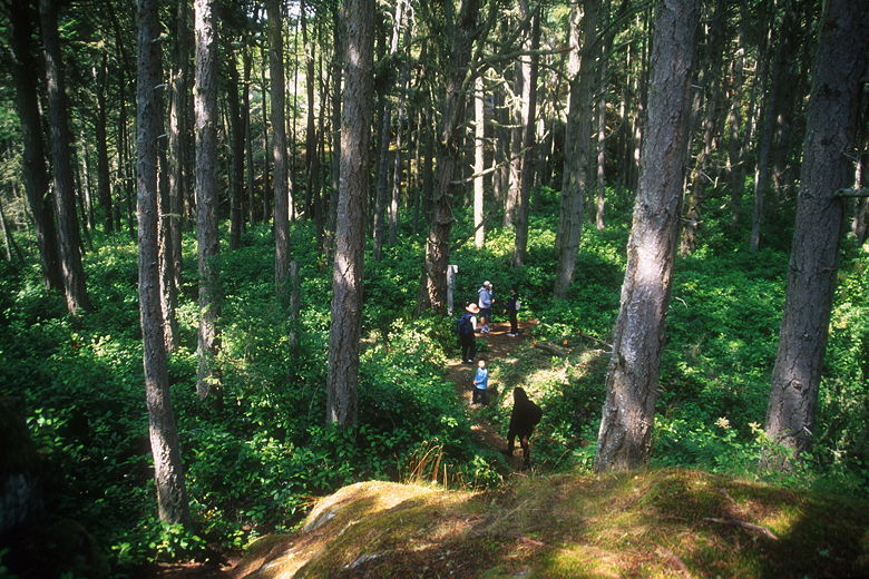
Onto the forest trail
After all the twists and turns on the rocky coast trail, the forest trail is
a walk in the park. It's a wide trail completely under shade of forest.
There is one section with a long steady climb, but the entire trip back to
he parking lot is much easier than the Coast Trail. In less than an hour
from Beechey Head, we were back at the now-full parking lot.
| 

