|
After a consistently rainy March and much of April, it looked like spring had finally come.
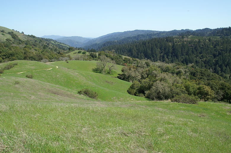
We headed up to Monte Bello Open Space Preserve, where the hills were green.
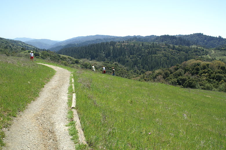
Hikers on the trail
We started off on the trail a bit after noon on a Sunday. The large parking lot was mostly
full, and we would run into hikers and mountain bikers on a regular basis on the trail.
The trail starts off relatively flat, and immediately provides some nice views of the hills
below. There's a bench at the first intersection, and in fact there are several benches
along the trail where you can rest and enjoy the view.
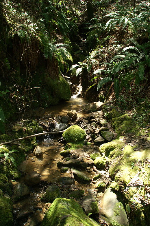
One of the many feeder streams
At the first intersection, we turned right and headed down toward the forest. The trail
is a loop so you can go in either direction. If you want a more gradual climb up on the
return trip, I would recommend turning left at the first intersection, rather than right
as we did. In any case, we did turn right, and the trail quickly enters the forest,
where it mostly stays, following a feeder into Stevens Creek. This part of the trail
is mostly just dense forest and a quiet descent along a small creek.
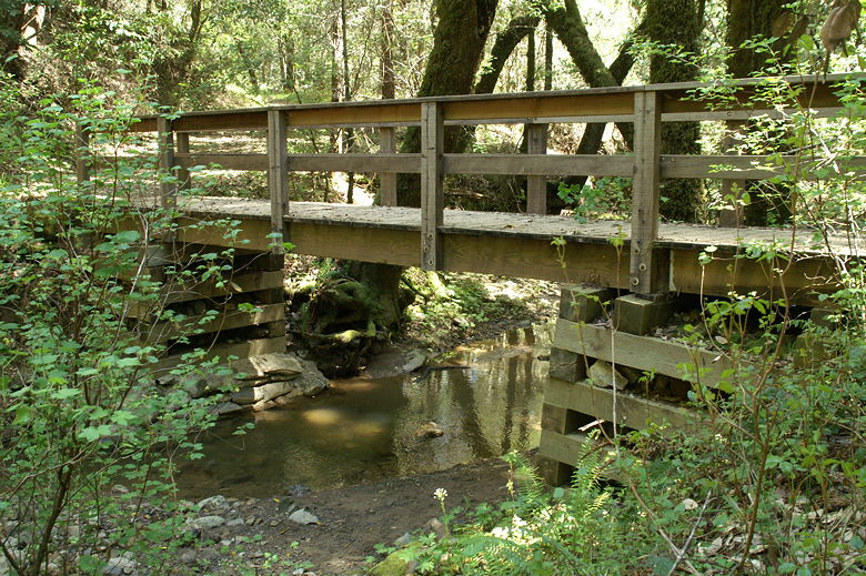
Bridge over Stevens Creek
There was one unbridged creek crossing where we had to get our boots a bit wet, but the water
was only a few inches deep and the rocks helped us mostly avoid the water. I'm guessing
that in normal rain years at this time of year, it would be nothing at all to cross.
After this unbridged crossing, there were a few bridged crossings. We stopped at one of the
larger bridge crossings for a lunch break. After lunch I quickly explored a small area of the
creek underneath the bridge, which is easily accessible from the main trail. It's a decent
place to sit and watch the water go by, but mosquitoes hovered in the air, so I didn't stay long.
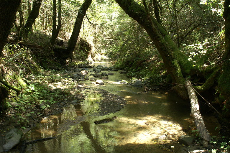
Stevens Creek
After lunch, we crossed the bridge and started a steady climb up the hill. We continued along
the trail, passing a few trail intersections. If you want to stay on the loop that we did, just
keep taking the left fork. The trail shortly turns away from the creek, and continues to climb,
sometimes very steeply along the Canyon Trail. The forest here is more open here, probably
because it's away from the creek.
View of the hills
We began to notice a few patches of wildflowers among the grasses -- a very few California poppies,
and some small yellow and purple flowers in greater numbers. No spectacular wildflower displays,
however. On the final stretch of the climb, however, you are rewarded with better and better
views of the hills behind you. Soon you are back at the bench at the top of the climb, and
walking the final few meters back to the parking lot.
| 

