|
Considering the length of the hike and the fact that it's minutes away from the full campground,
I expected to see a fair number of hikers at Balancing Rock. In fact, the parking area was empty,
and we would see only 2 other hikers. To be honest, it's not really so much a hike as a little
walk.
The terrain is mostly unshaded, sandy and rocky. There are numbered signposts from 1 to 5; supposedly
there is an interpretive brochure to go along with the signposts, but we didn't see any
at the trailhead. The trail climbs briefly over some sand and rocky steps before reaching the top,
where there are some big boulders. Here, the trail isn't really clear. Footprints lead off toward
Highway 89 a little ways off. Instead, you should turn left and find your way to the trail that heads
to Balancing Rock itself. The entire trail is probably less than a mile round trip, so you shouldn't have
any problems finding the rock.
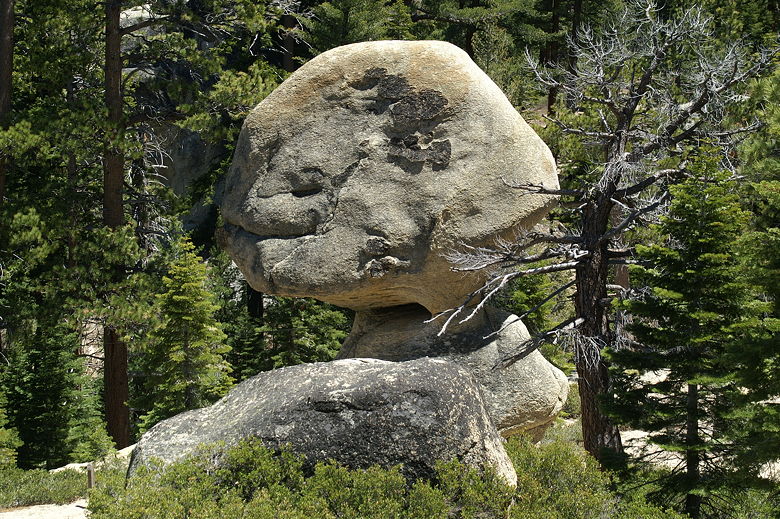
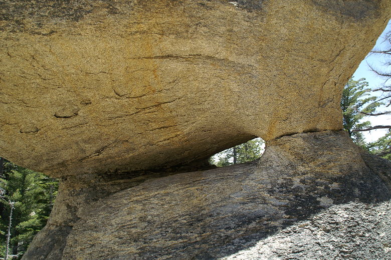
Balancing Rock
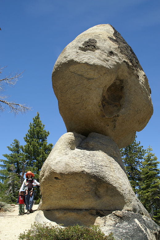
Balancing Rock
The rock looks to be roughly 10x10x10 feet, and is attached to another rock below it like it was
a football on a tee. Marvel at the rock, and then head back to the car. There's not much else to
this hike. Power lines mar the scene, and the freeway's in sight, so the rock is pretty much it.
Balancing Rock
|


