|
We entered the park around noon on a Sunday. The entrance was not staffed despite the fact
that the park is quite popular and they charge $5 for parking when the entrance is staffed.
We had no problem finding a parking spot in the large lot at this time, but there were
already dozens of cars parked here. When we returned to our car after the hike, the lot was
completely full (probably well over 100 cars), and drivers were circling the lot like vultures,
waiting for our spot.
Near the parking lot there's a visitor's center (in the Garin Barn), a kite field, and
lots of reservable picnic tables. We headed past all this, reaching picturesque Jordan
Pond. There are lots of picnic tables surrounding this pond, which is home to lots of ducks.
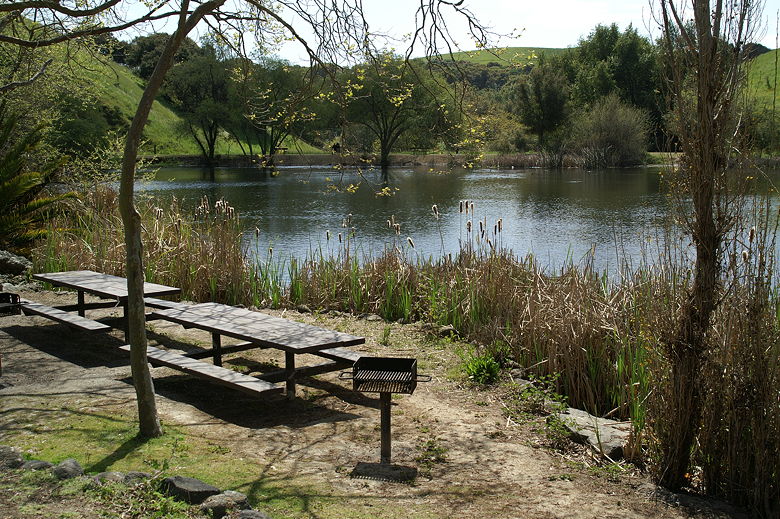
Picnic tables at Jordan Pond
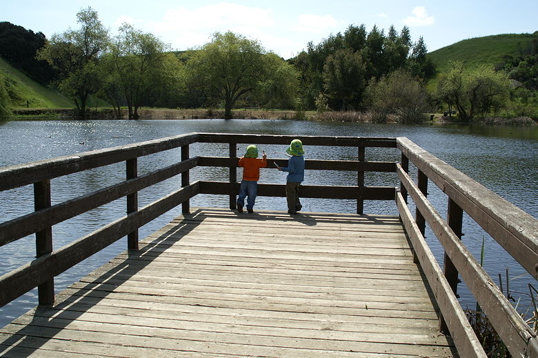
Nathan and Jared looking out at Jordan Pond
At the far end of Jordan Pond, we descended the Dry Creek Trail. This trail is mostly
shaded and criss-crosses Dry Creek. Often there were two trail choices, one which crossed
the creek via rocks or small planks, and the other which crossed via a solid foot bridge.
None of these intersections are marked, but it doesn't matter much which fork you take.
Note, if you're traveling with kids, be sure to warn them about poison oak, which is
plentiful alongside the creek.
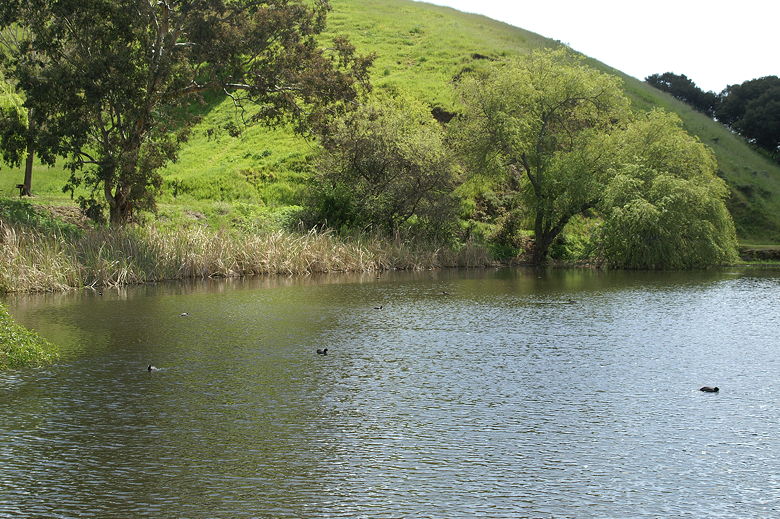
Jordan Pond
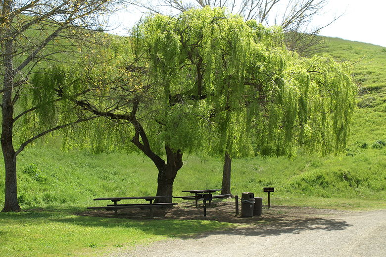
Weeping willow at Jordan Pond
At one point we saw a trail headed up to the left and decided to take it instead of the
trail heading down across the creek. The trail we took became harder and harder to follow,
as trees with low-hanging branches encroached on the "trail". Eventually we gave up and
turned back and returned to the fork above the creek. We stopped here for lunch.
While it had been warm earlier, this spot was shady and cool. Several groups of hikers passed
by this spot in both directions.
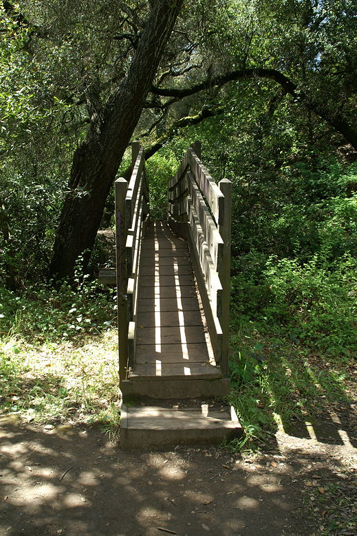
A very narrow footbridge over Dry Creek
After lunch, we crossed the creek and followed the trail until our first real trail intersection.
The Dry Creek Trail can be followed as it loops around to the right back to Jordan Pond.
Instead, we took the left fork toward the Meyers Ranch Trail. We crossed the gate, carefully
closing it behind us. The gate helps keeps the cattle (which we'd seen earlier) on one
side of the gate, the side we were now entering.
Shortly, we turned right onto Meyers Ranch Trail, a wide dirt road. The trail descends into
open green meadows (brown, I'm sure, if you're here in the summer). We passed a small
group of cows right next to the trail here. Cattle are allowed to graze here from late fall
to late spring. If you're here during that time, just take care not to spook them if they
have calves.
We passed through the signed old Meyers Ranch. There are rusted remnants of farming
machinery here, but little else besides the bright green meadow. Green hills dotted with
cows rise up on the left side of the meadow. Eventually the trail reaches the Tamarack
entrance to the park. This is the end of Tamarack Drive, and there are houses right up
against the park border.
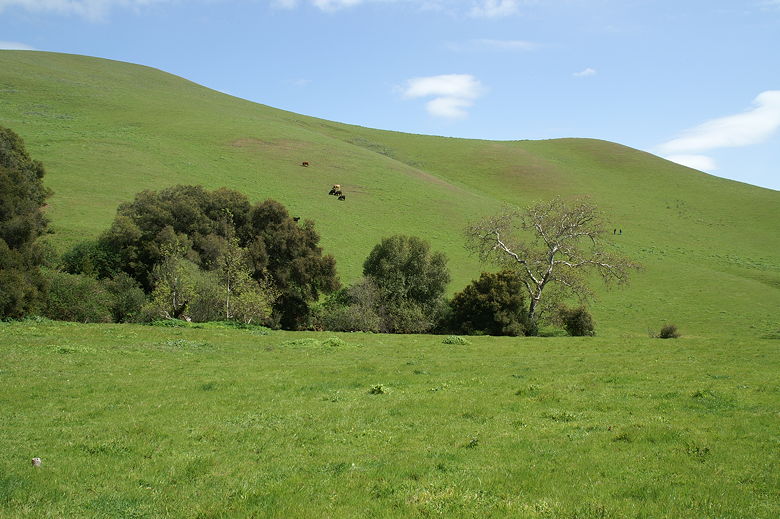
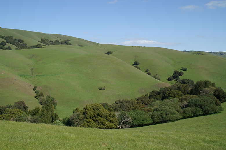
Cows on the hills of Dry Creek Pioneer Regional Park
We turned right to head up the hill along the High Ridge Loop Trail. The green hillsides here
were covered with bright orange poppies (and a few other wildflowers as well). It was a bit
strange climbing up the trail as we looked into people's backyards. The trail climbs higher
and the views of Hayward and beyond open up. It was quite windy as we followed the trail along
the ridge. I would guess that the trail would be less windy in the morning, so you might want
to do the hike in the opposite direction than we did.
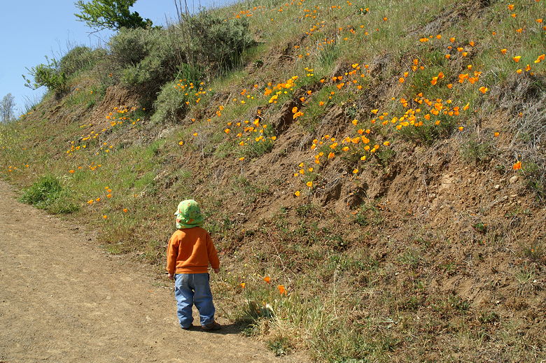
Jared checking out the poppies on High Ridge Loop Trail
In addition to cows, you may also run into horses. We ran into horses a couple times.
If you're in a group of hikers, try to all stand on one side of the trail as the horses
pass, so as not to spook them.
We now had views to the left (Hayward) and the right (the green hills to the east).
Eventually the trail heads in a little bit and the city views are hidden. Soon we could see
Jordan Pond and the visitor's center beyond it. We passed through another gate and continued
along the High Ridge Loop Trail. Alternatively, you can take the left fork and take the
Ridge View Trail back to Garin Avenue, then turn right to return to the parking lot. That's a
slightly longer option.
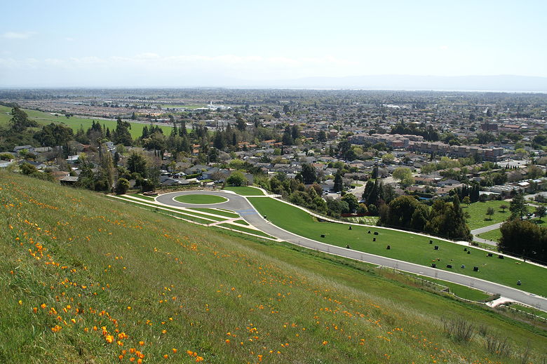
View of Hayward from the trail
View of the hills from High Ridge Loop Trail
We followed the trail down toward Jordan Pond, then turned left and followed the trail back
toward the parking lot. Trees along the edge of the pond prevent you from seeing it on this
section of the trail. So if you want to see the pond again, turn right instead of left, and
then just follow the edge of the pond back.
| 

