|
We awoke to clear skies once again. Today would be sort of an "off" day, without any serious
hiking. Instead, we would be driving Trail Ridge Road, which passes west through the park
all the way to Grant Lake on the other side. Along the way it climbs up to 12,183 feet and
is billed as the highest continuously paved through-road in the United States. I figured that
we would be well-acclimated for such a drive, having spent two nights in Denver (5280 feet) and
three nights at Moraine Park Campground (8200 feet). I would definitely not choose the drive
on the first day here!
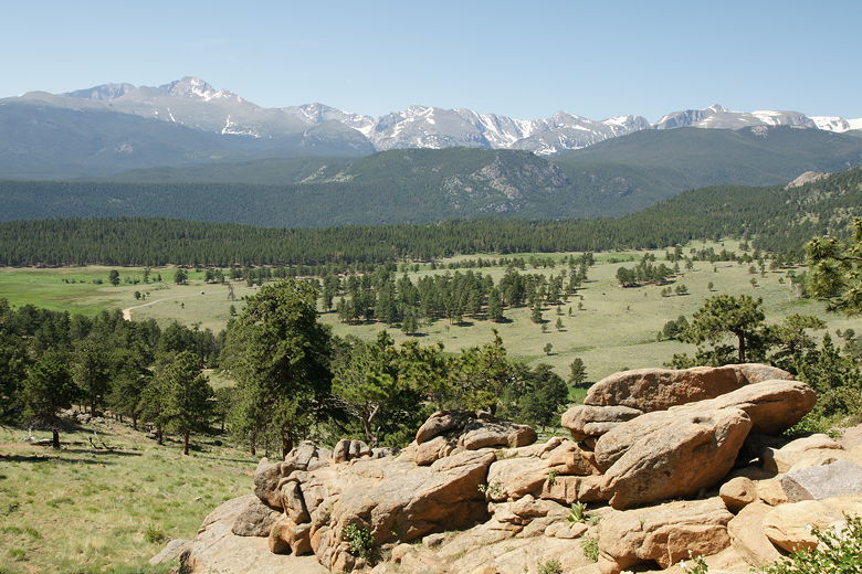
View from near Deer Ridge Junction
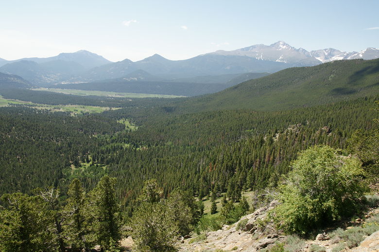
We started off by driving down Bear Lake Road and making a left onto Highway 36. Our first stop
was near Deer Ridge Junction, where there was an interpretive sign and views of Beaver Meadows
below and Longs Peak in the distance.
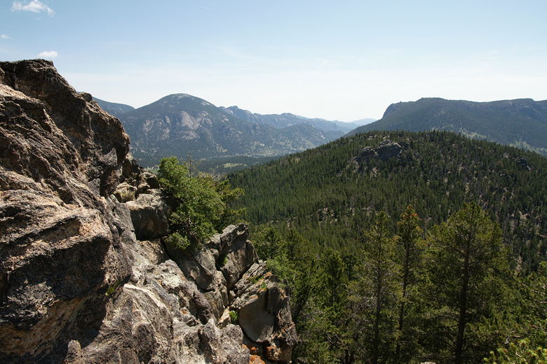
View from Many Parks Curve
View from Many Parks Curve
Our next stop was Many Parks Curve. We parked in the large parking lot on the right, then
walked back across the boardwalk fixed along the edge of the road high above the forests
below. Here, at 9620 feet, we had great views to the south and east. We scrambled up some
rocks at the end of the boardwalk, where a group of cyclists were taking a break (they were
part of a commercial tour).
View from Many Parks Curve
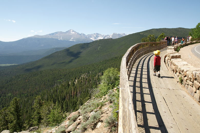
Boardwalk at Many Parks Curve
View from the boardwalk
View of Longs Peak from the boardwalk
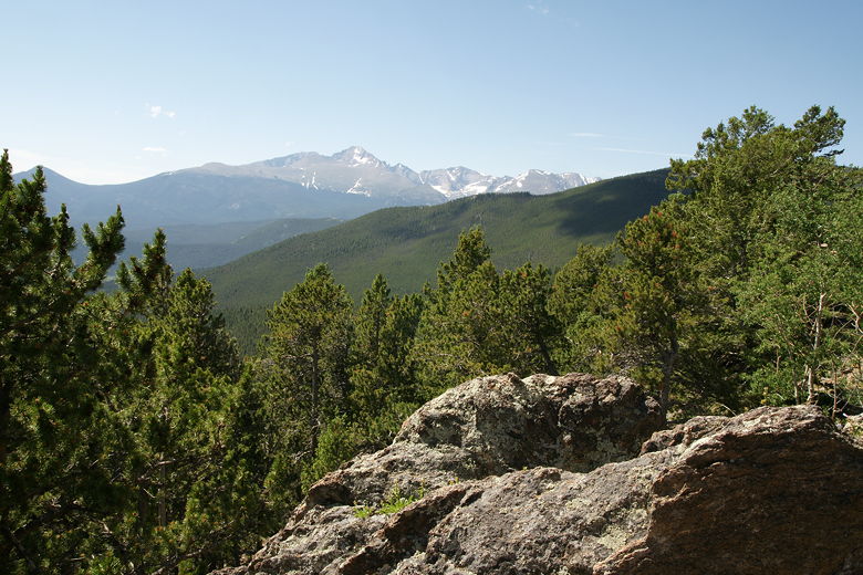
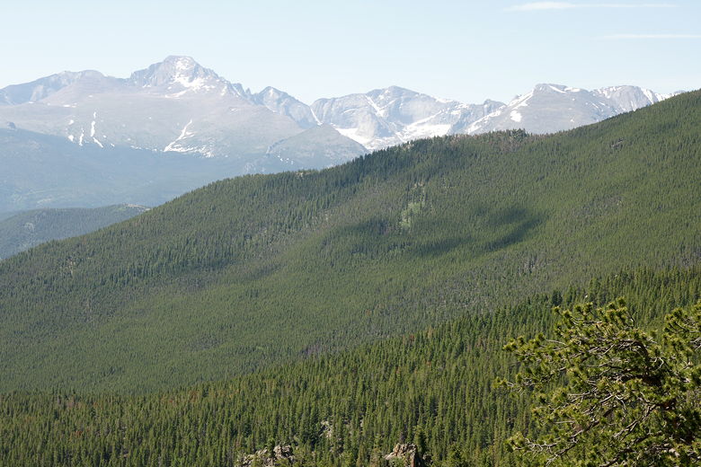
The road continues to climb, and our next stop was Rainbow Curve, elevation 10,829 feet. There's
a huge parking lot here, along with restrooms. There are mostly views to the north and east from
here.
View from Rainbow Curve
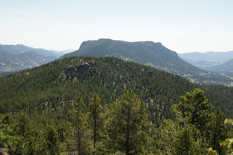
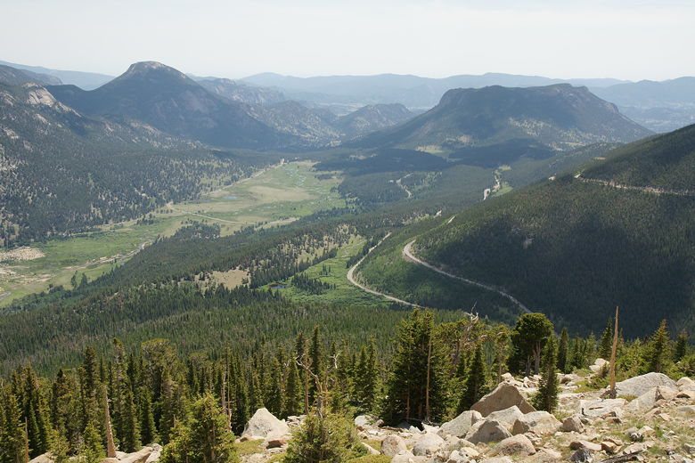
After a short break, we continued on up to the tundra and stopped at Forest Canyon
Overlook, at 11,716 feet. There's a very short
trail to the overlook here.
As we continued our drive through the tundra, we saw cars stopped by the side of the road,
their drivers taking pictures of several elk on the hills below. We continued past and shortly
came to Rock Cut, elevation 12,110 feet. There are bathrooms here, but no great place for a
picnic, so we ate lunch in the car. Then we hiked along the
Toll Memorial Trail.
It was raining as we drove along the road to the Alpine Visitor Center, elevation 11,796 feet.
I saw flashes of lightning in the distance. When we arrived at the large parking lot for the
visitor center, it was nearly full. I circled a bit before finding a space. The rain stopped
and I decided to go for a little hike. While the others took a short nap, I hiked the
Alpine Ridge Trail.
After my short hike, we continued along Trail Ridge Road. The road heads downhill, out of
the tundra and back into the forest. We eventually stopped at Milner Pass at Poudre Lake.
This is where the Continental Divide is, where water on one side flows toward the Atlantic,
while water on the other side flows toward the Pacific. The lake itself was a bit disappointing,
so we stopped briefly, made a u-turn, and headed back up the road. Maybe some day we'll
return and explore the western side of the park, but we didn't have time on this trip.
We returned the way we came. Since we didn't stop, it took us about 45 minutes to go from
Poudre Lake to the park entrance at Beaver Meadows. We continued on to Estes Park to get
a few supplies, then returned to our camp site.
While we prepared dinner, it started to rain. In fact, it rained quite hard and it even started
getting cold, which was something new for this trip. We looked longingly at all the other
camp sites around us, which had cooking shelters. We've never used one, but now we know why they
can be valuable. We very rarely get caught cooking in the rain, so I'm still not entirely
sure if it's a good investment, but at the time it sure seemed like a good one. We ended up
eating mostly in the car to avoid the elements.
The rain finally let up close to 8pm, and the sun started to show again. We enjoyed an
after-dinner stroll along the northern edge of the A loop sites before calling it a day.
| 

