|
There are signs at the bottom of the trail which warn not to start the trail if there's
the threat of thunder/lightning. Well, the dark clouds to the east were definitely
threatening, but I went up anyway. I figured they were far enough away and the hike was
short enough that I could be up and down before it arrived. Besides, I could see there
were already people at the top. Of course, this isn't the safest thing to do, so you'll
have to judge your own level of risk.
At least it wasn't raining on me - yet. The trail consists mostly of log steps - lots of them,
heading relentlessly uphill. The trail is not long (only 0.3 miles one way to the top), but
because of the altitude (the trail starts at 11,796 feet), you'll most likely find yourself
gasping for breath. At least I found it difficult. It probably didn't help that I was trying
to do it as quickly as possible. My suggestion is to get here earlier (before the afternoon
thunderstorms), and take it slow.
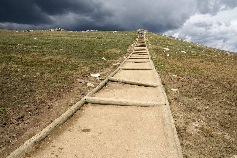
Steps lead the way up the trail
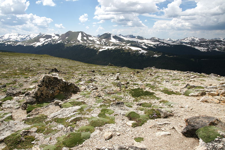
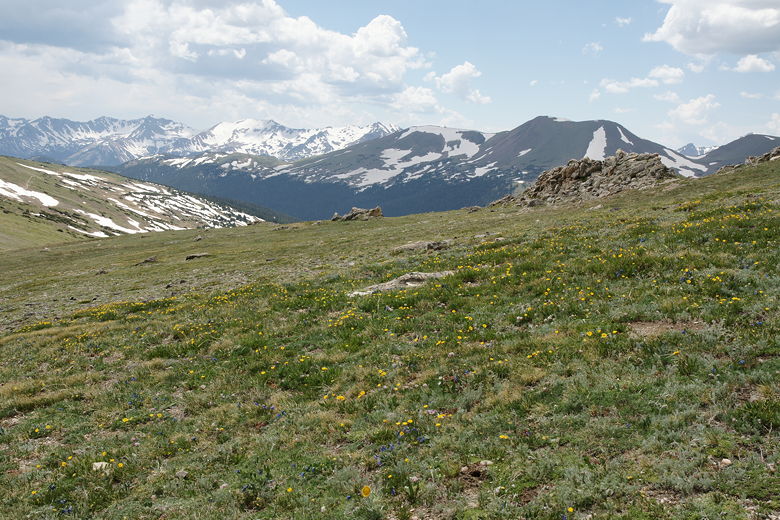
Enjoy the tundra flowers, some of which are identified with signs. There are also the
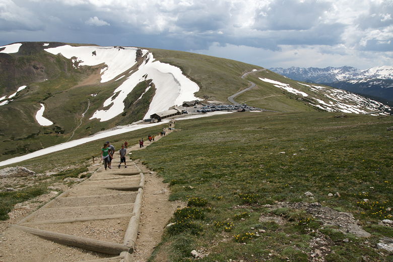
fantastic views, of course. The huge visitor's center and parking lot seem out of place in
such a remote, harsh environment. It sits on top of the edge of a mountain, snow on
either side. In every direction are 12,000 foot peaks, pretty much as far as the eye can see.

Hmm...perhaps it's time to turn around
Looks sunny to me
I reached the top and quickly enjoyed the views (and shot a few pictures) while keeping a wary
eye on the dark storm clouds in the distance. Then I turned tail and started a quick
descent.
View looking back down the trail
View from the trail
| 

