|
We parked next to the visitor center at Donner Memorial State Park. I'm assuming you can find
out all about the Donner Party inside the visitor center, but we were just here for the hiking.
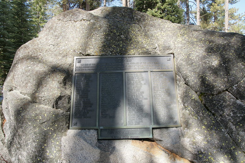
Plaque commemorating the Donner Party
The skies were absolutely clear on this late March day. It had reached 55 degrees the previous
day; it wasn't quite as warm today, but still nice. I keep forgetting that Jared doesn't have
snowshoes yet, so we ended up doing a very short snowshoe hike.
If there wasn't much snow or if it was packed down, we could have done a
longer hike, but that was not to be. While there were bare patches of ground, there were also
sections which were several feet deep (and soft).
We followed the numbered signs (there's a pamphlet at the visitor's center which you can pick
up). On this first section of trail we were able go without snowshoes. We stopped at a
bench next to Donner Creek. While our side of the creek had large sections free of snow, the
opposite shore was covered in snow.
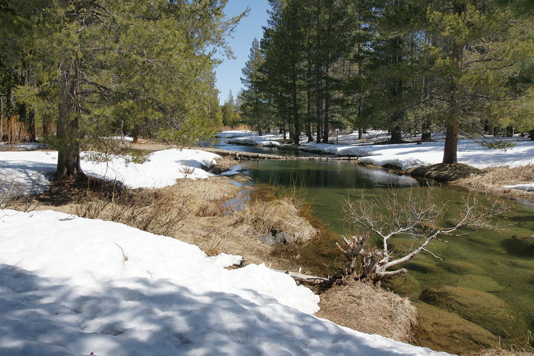
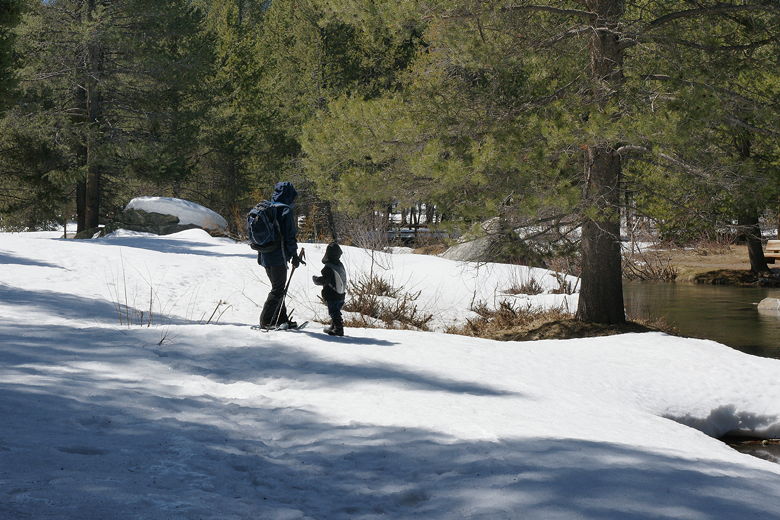
Donner Creek
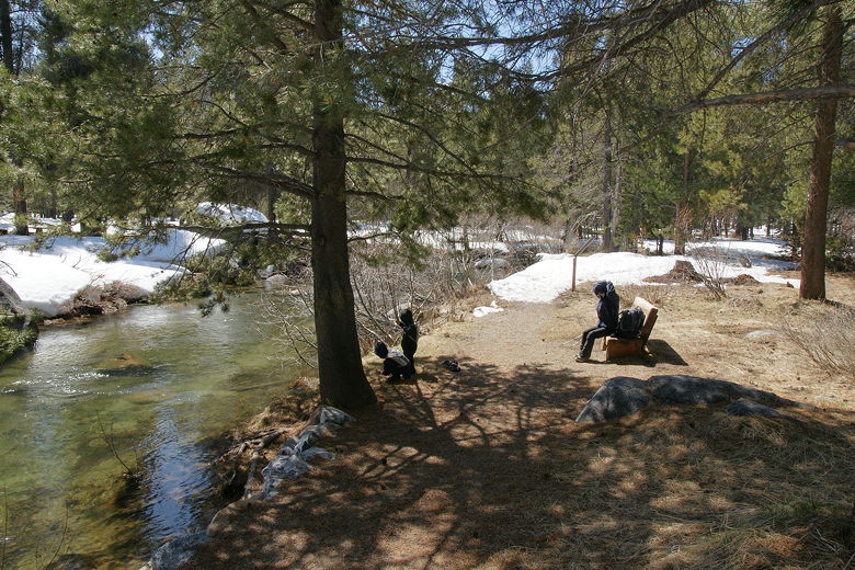
Playing by bench in front of Donner Creek
We strapped on our snowshoes and then continued across the bridge (covered with about 3 feet of
snow) over the creek. Once on the other side, we made a left turn to continue to follow the
numbered signs. Very soon we found ourselves at another bridge, which we crossed back over
and soon found ourselves at the beginning of the loop.
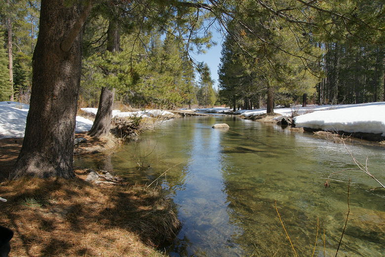
Donner Creek
Snow on other side of Donner Creek
Since it was such a short hike, we decided to head back to the bench by the creek and have lunch
there. Despite being so close to the visitor's center, we still had the trail practically to
ourselves. We didn't see anyone else on the trail until we finished our lunch -- and then only
2 hikers. And our lunch spot, despite being relatively close to Interstate 80, felt miles away.
After lunch, we quickly returned to the parking lot. Without this little detour, the trail is
probably only about half a mile. Next time, we may do the loop hike next to Donner Lake, which is
about 2.5 miles. I'm encouraged by the fact that the kids really seem to like snowshoeing, so
I'm looking forward to doing more next winter.
| 

