|
We started our hike from camp site 63 in the Anthony Chabot campground. We headed downhill
to the trailhead, which is next to site 70. The Honker Bay trail is a wide dirt road which
provides nice views of Lake Chabot downhill to the left. It starts out relatively flat, and
even has a slight uphill to start, but then starts a steep descent.
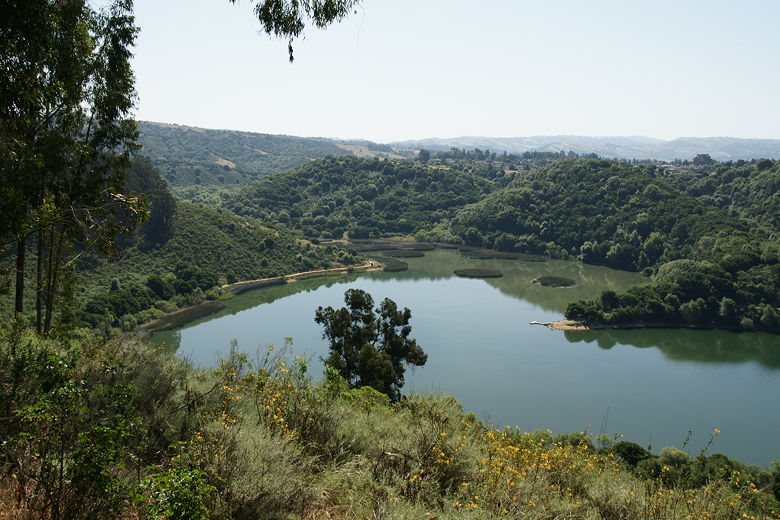
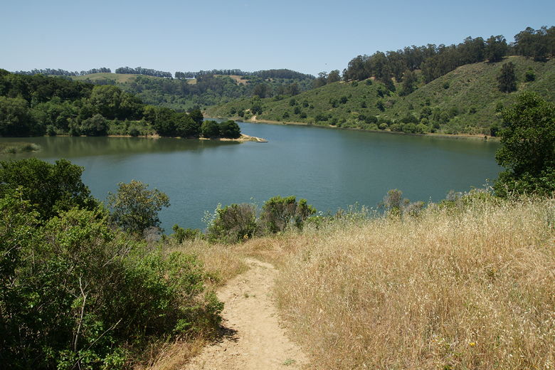
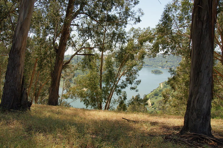
View of Lake Chabot from the Honker Bay trail
At this point, the trail is pretty much all eucalyptus trees and wildflowers. After a quarter mile,
the Columbine Trail heads off
to the right; we continued straight on the Honker Bay Trail, which continues an even steeper
descent. Mountain bikes are allowed on this trail, although I feel a bit sorry for any
cyclist who ascends this stretch.
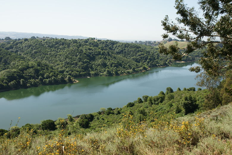
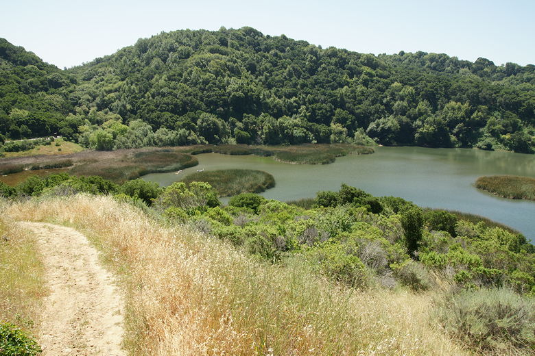
View of Lake Chabot from the Honker Bay trail
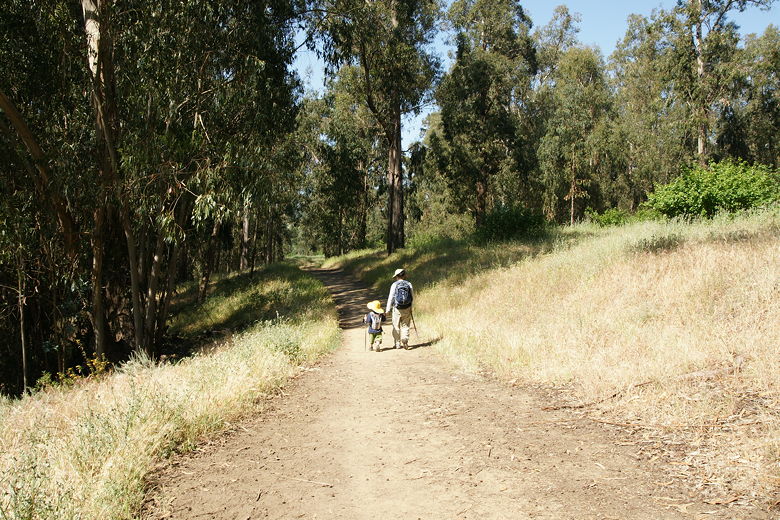
Hiking along the Honker Bay trail
The trail veers to the left, continues to descend, and leaves the shade of the eucalpytus trees
as it finally reaches the lake shore. Most of the trail does not provide direct access to the
shore. However, there is a small fishing pier here. One man was there (he'd been there since
7am), and he caught a trout while we were watching.
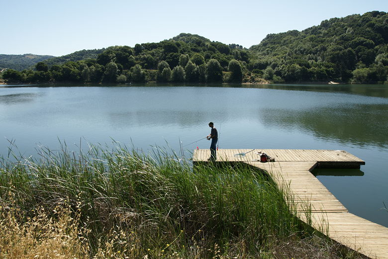
Man fishing from the short pier
It was already quite hot and unshaded now, even though it was about 11am. We continued a short
distance past the fishing pier before stopping at one of the few shaded spots on the trail.
We stopped there for lunch.
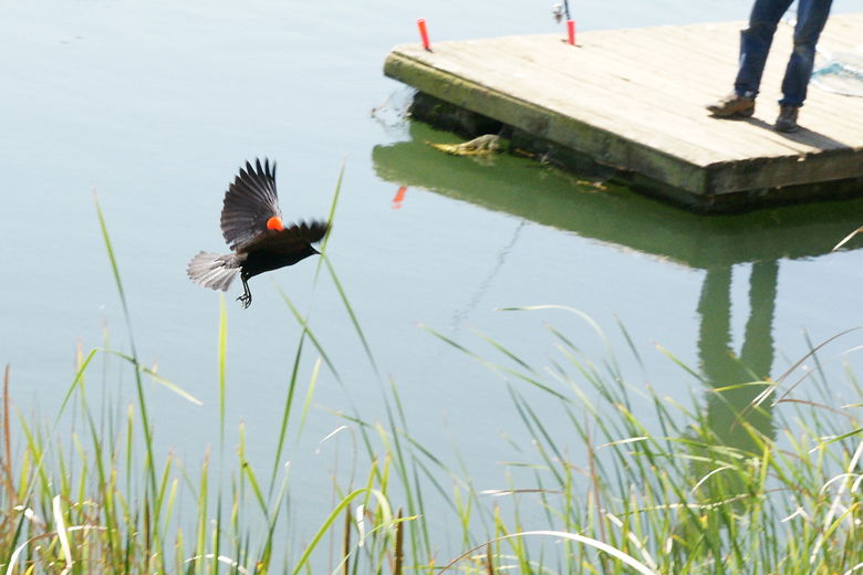
Bird in flight near the pier
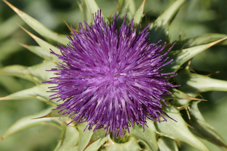
Flower along the trail
After lunch, we had to decide whether to head back the way we came, or continue along the
trail and do
a loop. We knew that we wouldn't get back to our site before the 12pm check-out time, but
I knew that check-in wasn't until 2pm, so I didn't mind just continuing. Eventually we decided
to continue along and do the loop, which would be almost a half mile longer than if we'd
decided to go back the way we came.
The trail here is completely flat, parallel to the shore. There is one small spot with direct
access to the shore. It would make for a nice lunch spot, if it weren't for that fact that
there isn't any shade here.
Next, at 1.25 miles, we turned left to head up the narrow and steep Huck's Trail. It switchbacks
up to nice views of the lake before mercifully re-entering the eucalyptus trees and providing
some much-needed shade. The trail is not quite as steep now as it climbs up to site 20 of
the campground.
Looking back at Lake Chabot from Huck's Trail
Looking back at Lake Chabot from Huck's Trail
Looking back at Lake Chabot through the eucalyptus trees
There was no one in this part of the campground, but since it was a scorching hot Sunday
after check-out time, that wasn't surprising. The thermometer on my watch registered as high
as 93 degrees. After a short break we continued through the amphitheater, then shortly made a
left turn and arrived back at our camp site.
| 

