|
We parked in the small lot just outside the Junction campground. It's a small lot, with
space for only about 6 cars, but there's a fair amount of space to park on the side of the road
nearby. After parking, I made the short walk to the trailhead. I wasn't completely sure if
this was the right trailhead, and the right route, so I asked a nearby camper. They said it
was the right trailhead, but be sure to stay to the left.
So, we started off on the trail at the Bennettville trailhead (there's a large sign here,
although the words "Bennettville Trail" are hard to see -- they're etched into the wood at the very
top of the sign). We walked along the trail as it followed a creek, and then immediately
turned left and headed uphill away from the creek trail.
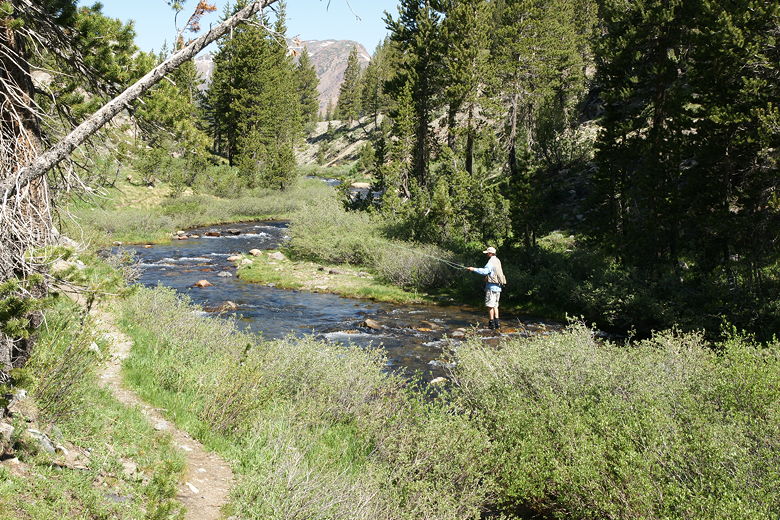
Fishing in the creek near the trailhead
The trail now climbs up above the campground. There are a couple side trails which lead down
into the campground; just stay on the main trail. The trail continues to climb gently, then
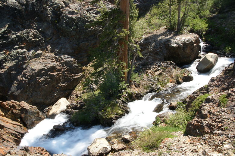
veers right after it reaches the end of the campground. We were now above Mine Creek, with a
nice view of the creek as it cascades down toward the campground.
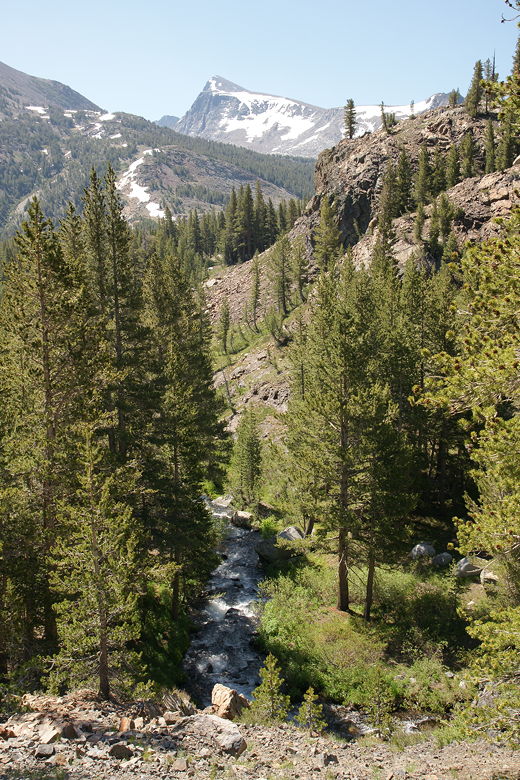
Mine Creek
Mine Creek
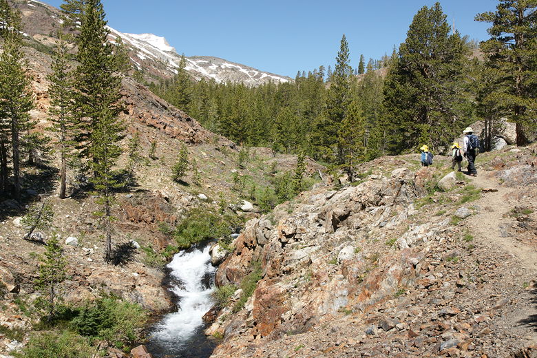
The trail basically follows the creek for the most part. We crossed two very small streams,
then after about 0.7 miles came to Bennettville site. People brought 8 tons of mining
equipment to this spot in the early 1880's, looking for silver. They never found it, and
Bennettville became a ghost town. Two empty structures remain, and you can walk inside and
take a look. Our kids were excited about going inside. New wood has been added, including
a relatively new door and steps up to the second level of the larger structure. That being
said, the floorboards have seen better days, so I wouldn't go jumping up and down in them.
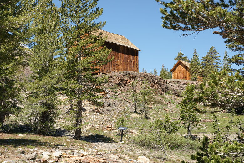
Bennettville Site
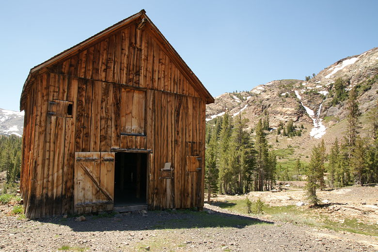
One of the two structures at Bennettville Site
Another group of hikers was at the Bennettville site when we were there. They had come
from the trail starting near Tioga Lake. I asked them if they had seen a trail intersection
on their way here, and they had. We continued along the trail and shortly came to that
intersection, where we turned right (before reaching the creek). The other group had mentioned
that the log crossing over the creek that they'd taken might be difficult for our kids. I
didn't expect to have to cross the creek, however, and we never did.
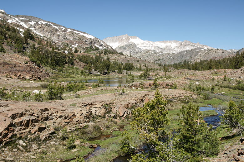
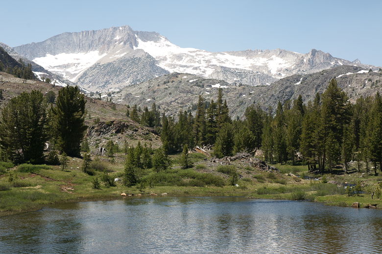
We continued along the trail with the creek on our left. Soon enough, we had our first glimpse
of Shell Lake We walked on the trail along the shore of long Shell lake, looking for a good
lunch spot. We finally found it near the northern end of the lake. The lake, while long, is
just a stone's throw in width. I can say this with confidence because I tried to throw a
stone to the other side; I did, just barely, but it took my best effort.
First view of Shell Lake
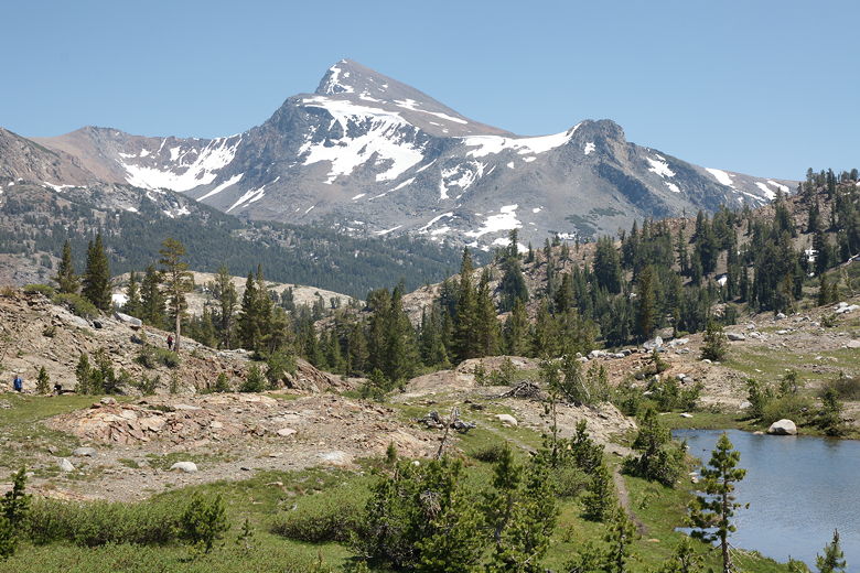
After lunch I walked to the northern edge of the lake and turned around. There, staring right
at me from the south, was the unmistakeable image of Mount Dana. Everywhere I look is Mount
Dana. I must have hundreds of pictures of Mount Dana from many different vantage points.
I should create an entire page devoted to pictures of Mount Dana from every angle. The one
from Shell Lake is one of the prettiest. There's the flower-filled grassy area, then Shell
Lake itself, forest, and then Mount Dana.
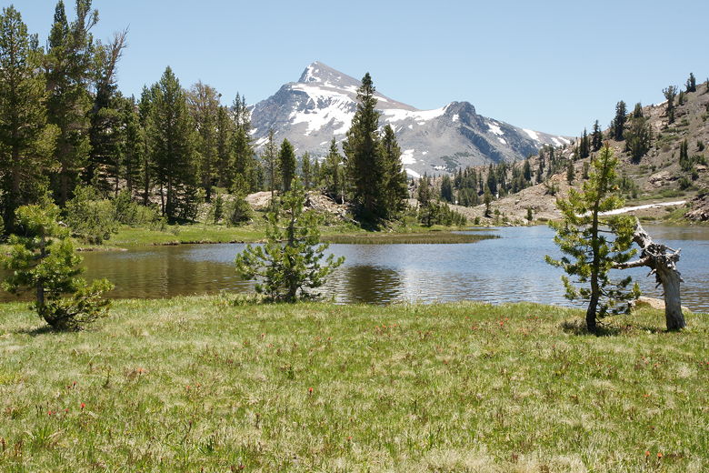
Mount Dana above Shell Lake
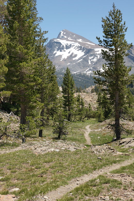
Mount Dana over the trail heading back
Mine Creek flows into the northern end of the lake. If you follow the trail up the creek, you'll
reach Fantail Lake and then Spuller Lake. Two backpackers came by and told us they were doing
just that. They were maybe the 9th and 10th people we'd seen on the hike, a stark contrast
to several of the hikes on this trip. Keep in mind that we were doing this on a Saturday,
the 4th of July. Do this hike on a weekday and you may have it all to yourself.
Mount Conness above Shell Lake
After lunch we skipped rocks, enjoyed the lake, and then started the return trip. We noticed
many more hikers now coming from the Junction campground, but still it wasn't many
compared to other hikes. We passed the Bennettville site again, then continued the descent.
We crossed the two small streams, then soon saw the campground again.
Yet another view of Mount Dana
Mine Creek
When we returned to the parking area, there were several cars parked on the side of the road.
There had been about 6 cars when we left, but now there were about a dozen. But, again, that's
not much compared to several other hikes on this trip.
| 

