|
I hadn't really planned to do this hike, but I saw the cross-country ski icon
and thought this might be a good alternative to the Silver Lake hike I was
originally planning on doing on the June Lake Loop. While I couldn't find much
info on the Silver Lake trails, I knew that a groomed cross-country area would
probably be easy for the kids.
The large parking lot (capable of holding 15-20 cars) was only about half full when
we arrived. It looked like most of the people there were going cross-country skiing.
There's no parking fee, and trail access is free, as well. The trails are groomed,
meaning they are hard packed (about 15 feet wide), but there are no tracks for the
skiers.
We started off on the trail under clear skies. We passed the two entry points to a
loop on the right, opting to keep going straight. The pretty forest was covered with
a blanket of snow on both sides of the trail. We had some nice views of the surrounding
mountains, mostly from near the start of the hike.

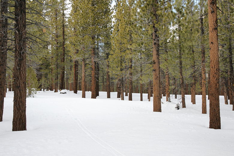
Hiking along the trail
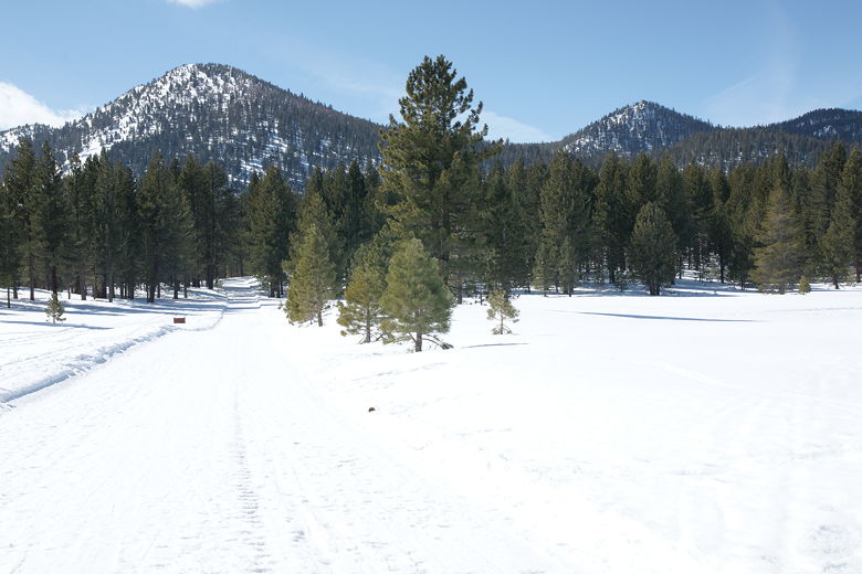
View of the mountains to the west from the trail
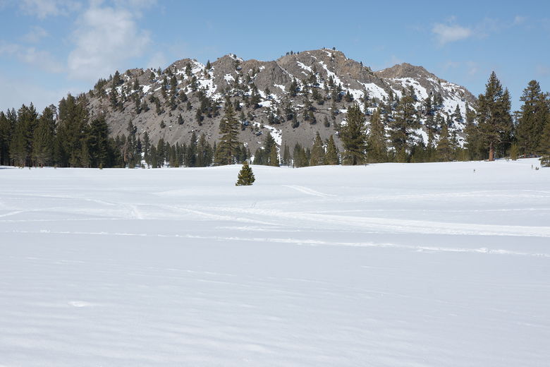
View of the mountains to the north from the trail
We came upon another trail intersection on the left, a semi-loop. Again we decided to
head straight. I asked a couple of skiers here if there were any views up ahead, but they
said no. There was a view of Obsidian Dome to the left, but they said it wasn't much to see
with the snow covering it.
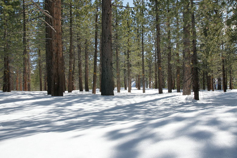
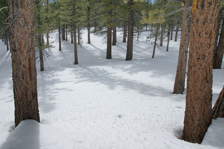
Forest and shadows alongside the trail
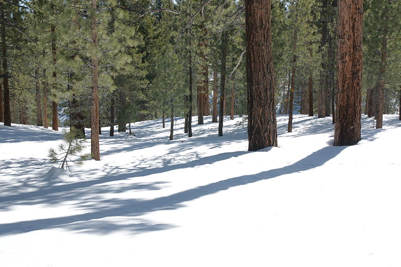
Forest and shadows alongside the trail
It was almost lunchtime, so we started scanning for places to stop. I was looking for bare
rocks or downed trees that we could sit on. I soon spied a large boulder on the right, up a small
hill. It was mostly covered with snow, but we decided we'd stop there for lunch. It was fun trudging up the softer snow up to the
boulder. There were actually three boulders here, and we stopped at the last one. I put the tarp down on the snow
and we had lunch.
View from our lunch perch
After lunch, we returned to the main trail, then went back to the parking area the same way we came.
It was a simple, short hike without any real destination. The highlight of the hike is probably
just the simple feeling of crunching snow under foot, and the beauty of the trees on a bed of
snow.
View above our lunch spot
Note you'll probably see a lot of cross-country skiers on the trail, and a lot of dogs, as well.
It seems to be a popular place to take canines.
| 

