|
The Trail of the Cedars is a short nature walk, but well worth it if you have the time. The
trail starts under a large sign at one end of a footbridge over the Skagit River. We crossed
over the bridge and then started the loop hike on the other side.
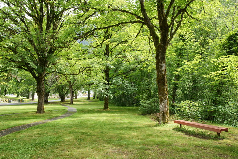
Park at the trailhead
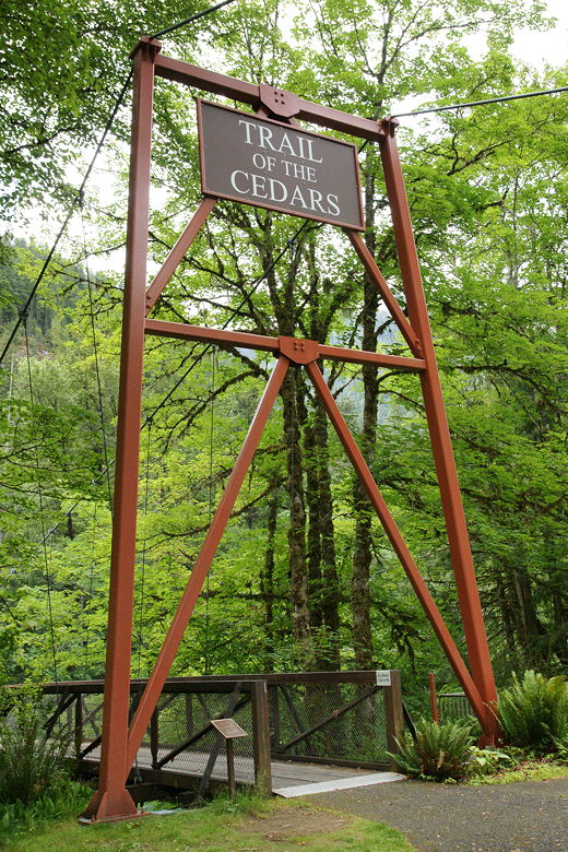
Trailhead sign
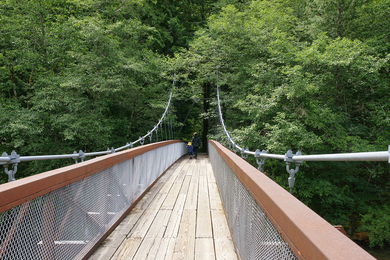
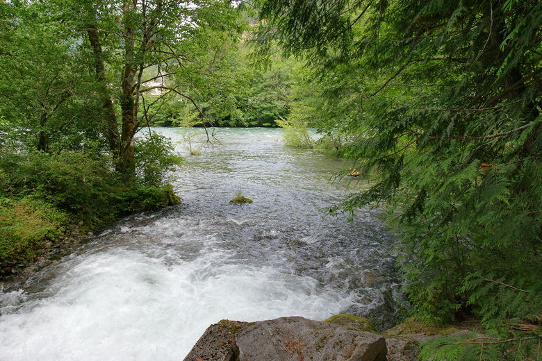
Bridge over the Skagit River
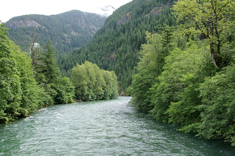
Skagit River from the bridge
It's a loop hike so you can do it in either direction; we chose the left fork, which is the
wider trail and the direction most people probably take it. The trail passes through a lush
mossy forest with a forest floor covered with ferns. There are very frequent interpretive signs
describing the forest.
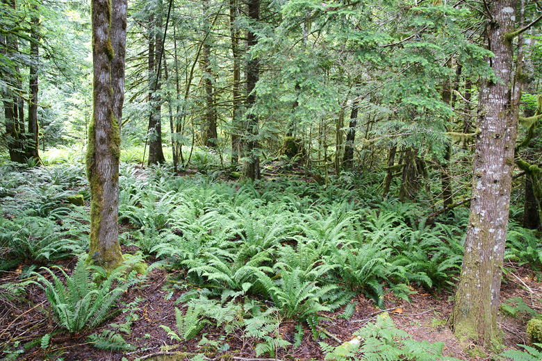
Ferns
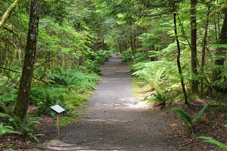
Inviting forest trail
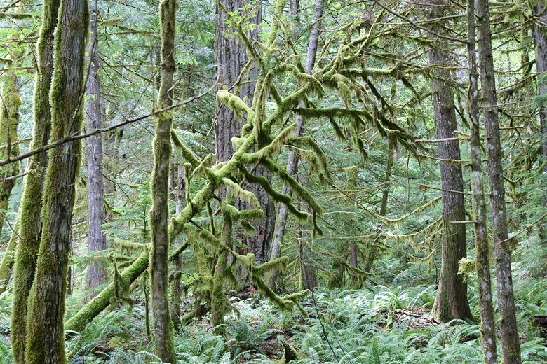
Mossy tree
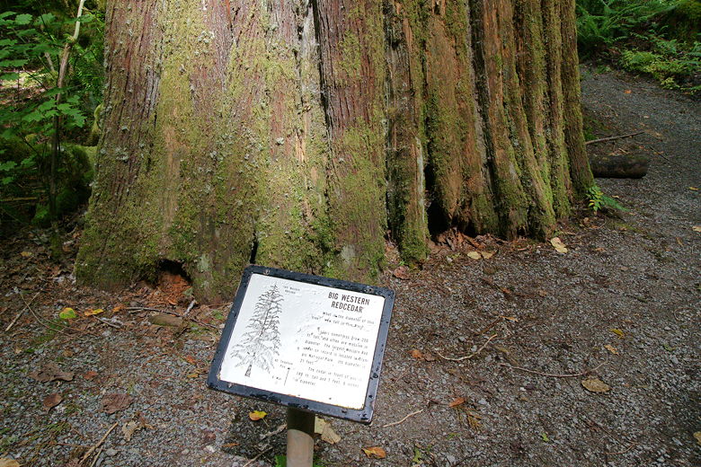
One of many interpretive signs
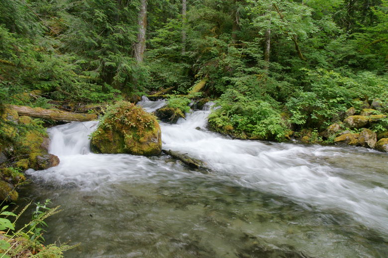
We saw lots of black slugs on the trail. At the far end of the loop, we reached a small power
station. We had actually driven to the power station from our campsite one day, as there's a short
gravel road from the Newhalem Campground to the power station. If you wanted to, you could do
the hike starting from there.
Water flowing down from the power station...
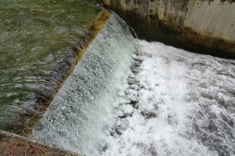
...goes down this spillway (to prevent salmon from going up to the power station)...
...and then out into the Skagit River.
Another view of the spillway
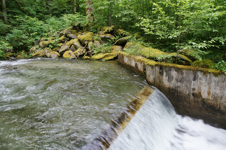
We continued along the trail, following the water runoff of the power station, which flows into
the Skagit River. The path then veers right, heading back toward the bridge. We followed the
trail, completing the loop and then crossing back over the bridge.
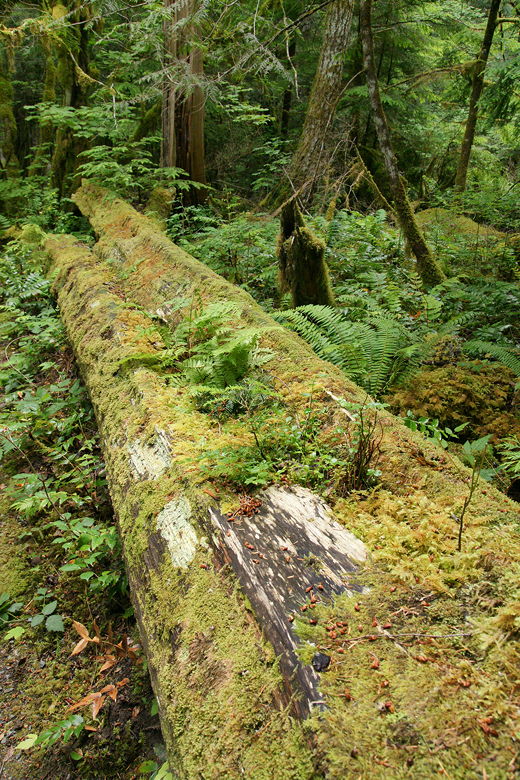
Fallen tree being reclaimed by the forest
| 

