Meeks Bay to Eagle Falls |
Day 3 of 4
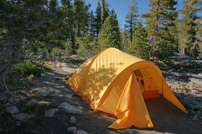
The rocks did help, as we had hardly any dirt and sand blow into our tent. On the other
hand, the gusts of wind were stronger than the night before. The nearly constant flapping
and shaking of the tent meant little sleep. The wind finally started to die down; I'm not
sure when because I was too tired to check my watch. I'm going to guess it died down around
5am.
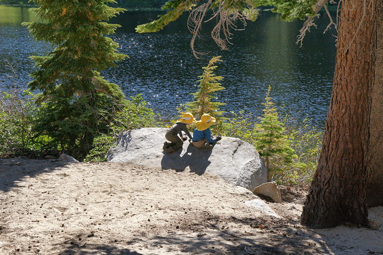
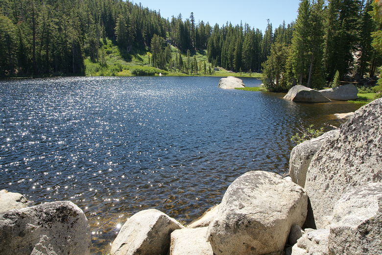
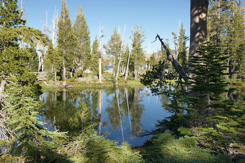
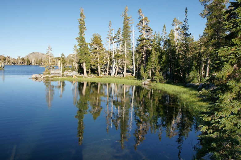
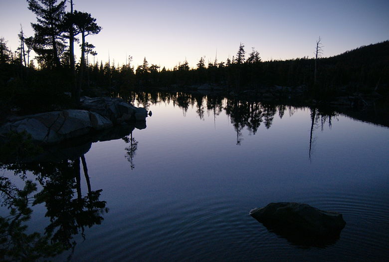
Looking out at sparkling Rubicon Lake in the morning Northern shore of Rubicon Lake
At least, when we woke up in the morning the skies were clear, even if it was a bit chilly.
After we packed up, we visited the viewpoint from the night
before. While we were there we saw an eagle soaring overhead. As we came back down, we had
a nice view of Rubicon Lake, no longer covered with shadows.
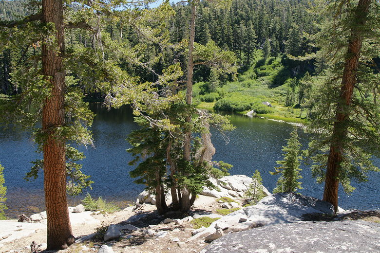
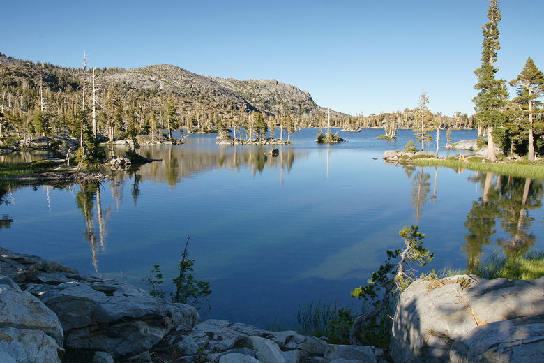
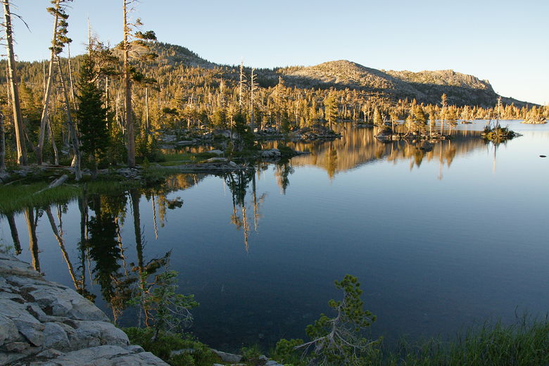
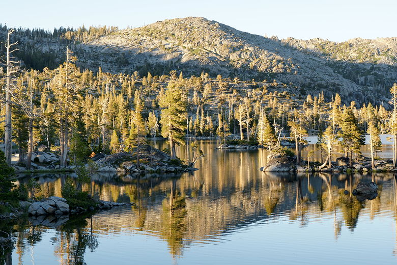
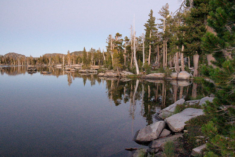
Western shore of Rubicon Lake Rubicon Lake from above the northwest shore
Sunday, August 22nd
Rubicon Lake to Middle Velma Lake
5.4 miles
800 vertical feet (ascent)
1210 vertical feet (descent)
4:39
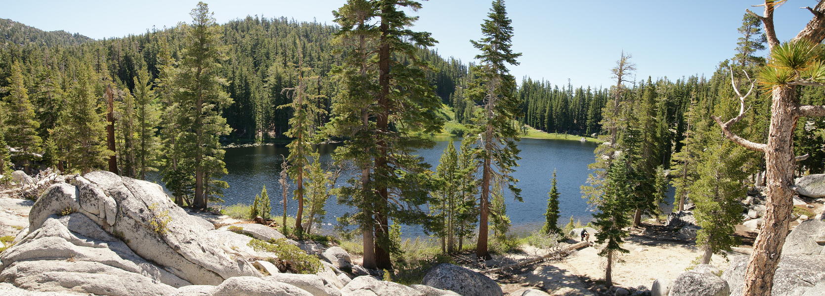
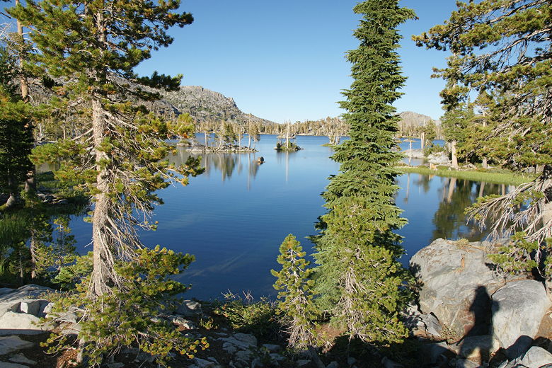
Panorama of Rubicon Lake Dying tree at Rubicon Lake
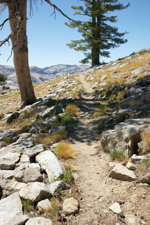
It was nearly 11am by the time we finally left camp. We continued on up the trail past
Rubicon Lake. The trail then re-enters the forest and continues to climb. We took off the
jackets we had been wearing at the lake, as it quickly started to warm up. Shortly
after leaving the lake, the trail makes a hairpin turn to the right. At this time we were
passed by a trail runner. She was hardly carrying anything. I can only guess that she was
running the entire 18 mile distance in one day. We never saw her again, so she didn't double
back to a base camp.
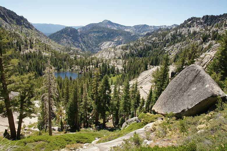
Rubicon Lake from the northwest shore Rubicon Lake as seen from granite slabs above western shore
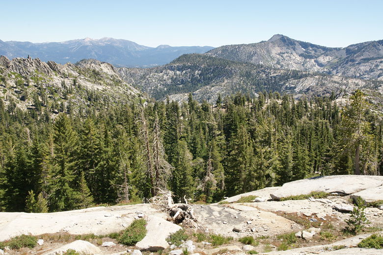
The trail makes another hairpin turn in the opposite direction and then soon emerges out of the
forest. We were now hiking on predominantly granite, chunks of which had been carved out to
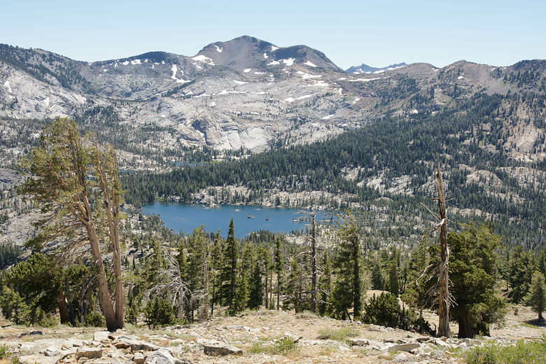
make the trail. Far below us, to the left, were Grouse Lakes. Although you might be
tempted to camp there because of their apparent proximity to the trail, it's a long climb down
and then back up - I wouldn't recommend it. Plus, the lakes are pretty small. On the other
hand, if you're looking for solitude (a rare thing on this trail), you might find it there.
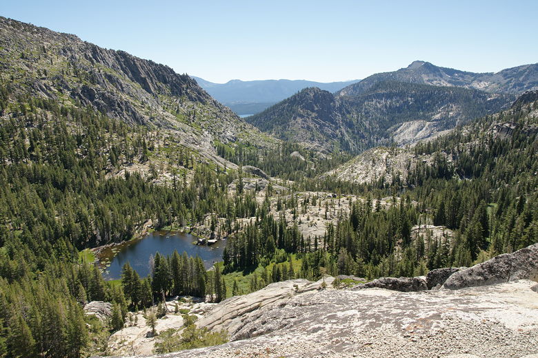
As we continued along the trail, we were greeted with far-reaching views to the southeast.
In the distance we could see what I think is Fallen Leaf Lake (although it's hard to tell if it's
not Cascade Lake), with Mt. Tallac looming in front of it. I
didn't recognize it at first since I've never seen Mt. Tallac from this angle before -
the back side of it, if you will. Another raptor soared in the air above us as we continued
to climb.
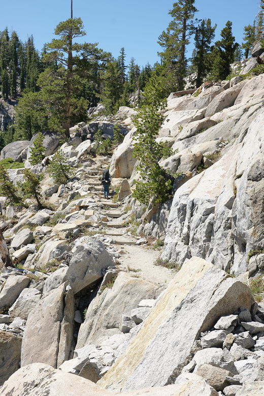
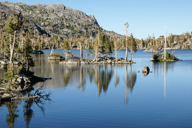
One of the Grouse Lakes, with Mt. Tallac in the background Fallen Leaf Lake (I think) peeking out in the background Steps on the trail toward Phipps Pass More granite trail
We took a break and at this point a few people passed us, including a couple we'd see a little
further on when they stopped for a break. We got to talking about hiking with kids and my wife
mentioned my web site. When she told them the URL they said they'd already visited my site
in the past several times. Although I've met several people off the trail who have used my
site, that may be the first time I've met someone on the trail who's used my site. That was
neat.
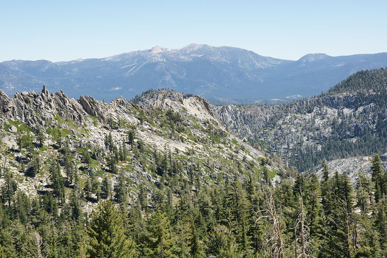
Shortly after that we reached Phipps Pass, elevation 8800 feet, where we took a break. The views
from here aren't as good as the section of trail before it, however. Continuing beyond the pass,
the views kept getting better. Soon we had distant views of Freel Peak and Jobs Sister to the
southeast, easily distinguished from the surrounding peaks by the sandy color of their summits.
Distant view of Jobs Sister, Freel Peak, and Mt. Tallac Closer view of Jobs Sister and Freel Peak
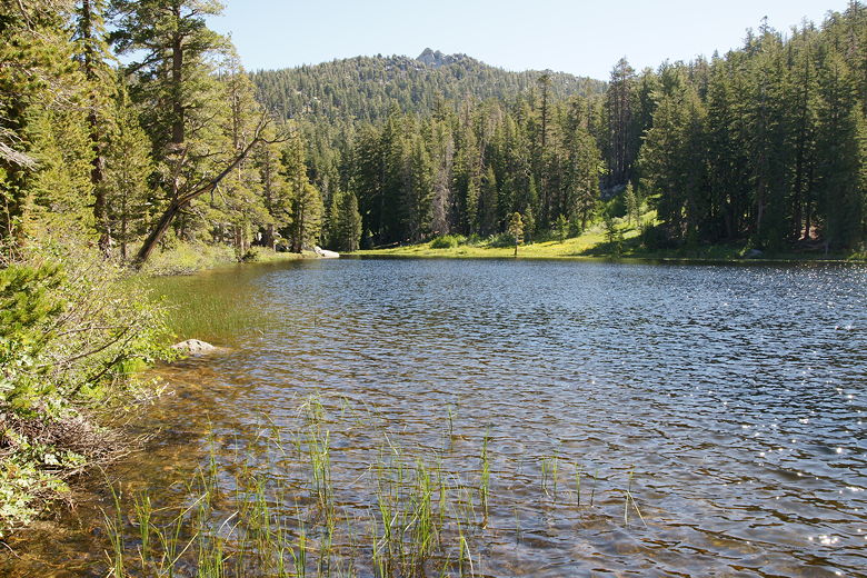
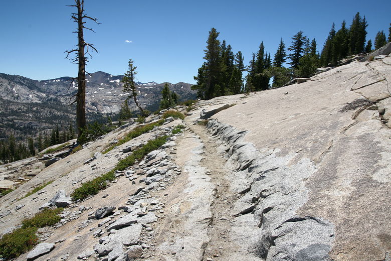
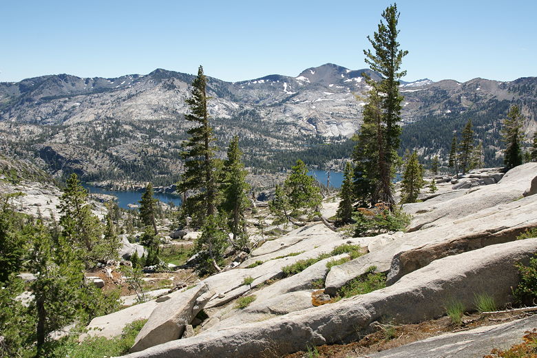
As the trail headed more to the west, we gained views of Lower Velma Lake and Middle Velma
Lake (our destination for the day) below us to the south. After Phipps Pass, the trail is fairly
level for a while. In open forest the trail starts to descend slightly, but then starts
a steeper descent after making a hairpin turn. Shortly, the trail changes to a dense forest,
completely different from the open granite trails near Phipps Pass.
Lower and Middle Velma Lakes. On the open trail above the Velma Lakes Middle Velma Lake
(Click image to view full size)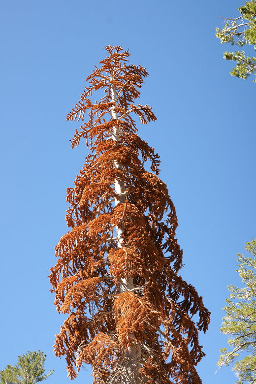
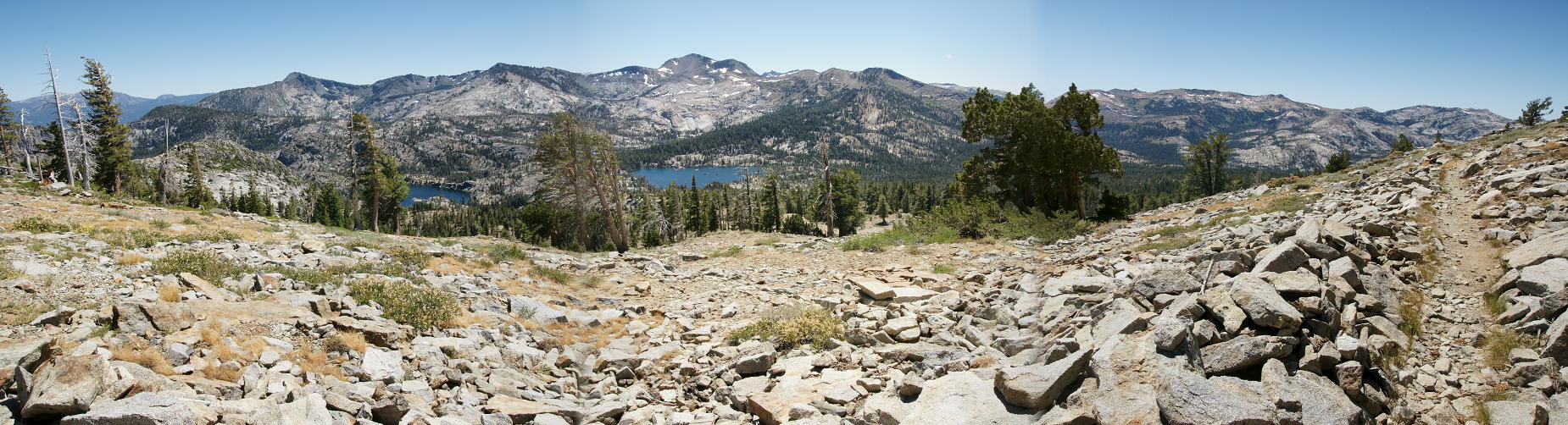
Panoramic view from the trail above Velma Lakes Mountains south of the trail
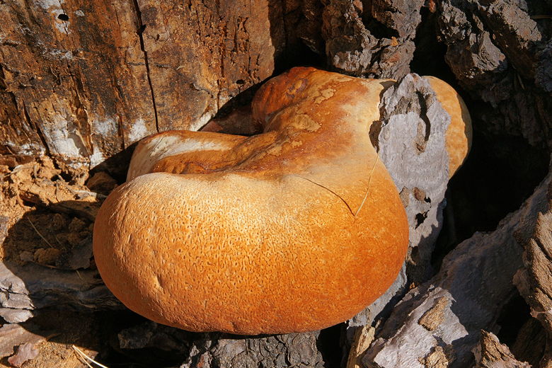
The trail crosses a creek two or three times, easily hopped over. In the forest we saw mushrooms
below and heard woodpeckers high above. After two more switchbacks we finally reached a trail
junction. To the left and right was the Tahoe Yosemite Trail (part of the Pacific Crest Trail).
We turned left to head to Middle Velma Lake.
Big orange mushroom seen by the trail
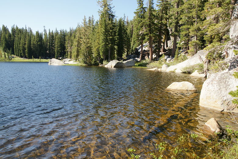
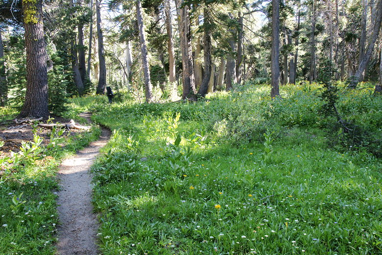
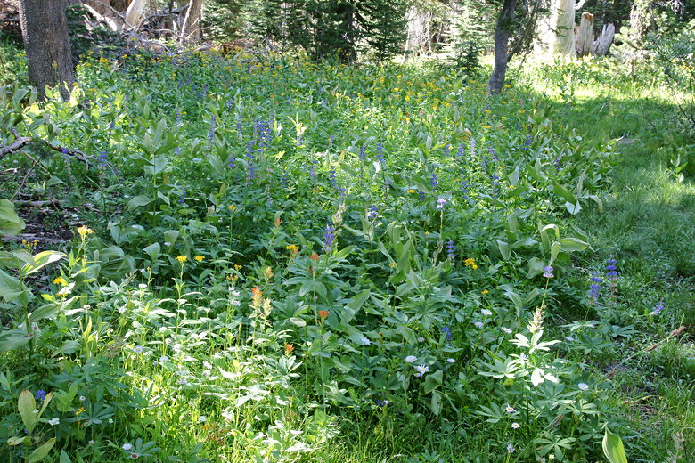
After about a half mile, we reached some really nice displays of wildflowers. Soon after that
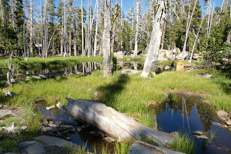
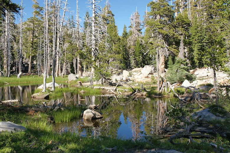
we started to see some small ponds. Then we saw what looked like another larger marshy pond to our
left, but it actually turned out to be the western edge of Middle Velma Lake. In fact, we could
see the rest of the lake sitting like a jewel behind it.
Trail through the wildflowers More wildflowers Small ponds west of Middle Velma Lake Ponds west of Middle Velma Lake At first we thought this was a pond west of Middle Velma Lake, but it's actually connected to the main part of the lake (in the background).
Our next task was to find a good campsite. I knew there wasn't any official trail down to the
lake, so we'd just have to find a good place to cut over to it. After walking a little further,
we encountered some other backpackers coming in the opposite direction. They were also planning
to camp at Middle Velma Lake, but hadn't seen any good places to cut over from their side (they
were coming from the trail leading to Echo Lakes). So we turned around and headed back the way
we came, since I'd seen a small use trail near the water.
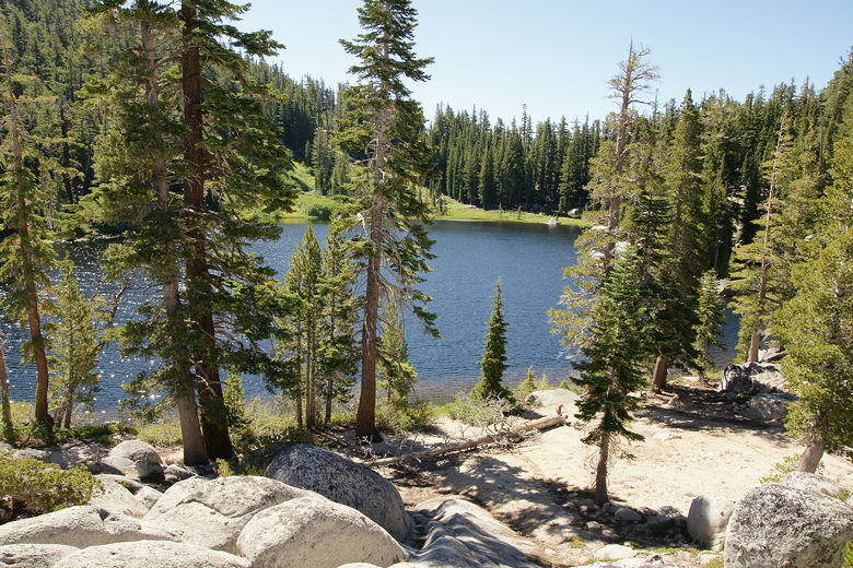
We took the use trail next to the water, soon finding ourselves on an expanse of granite just above
the main western part of the lake. I'm not sure where the other backpackers went; I think they
may have decided to camp near the northwestern shore of the lake, instead. As it was, we were
left with a huge choice of great campsites. It looked like there were other sites available
further east along the southern shore, but we decided that the area we were had some great
views. It didn't have great access to the water (since most of the shore near here was covered in
grasses), but it was sufficient. I use two water bags, allowing me to filter water away from
the mosquitoes (and there were a lot of mosquitoes here), so I was fine with that.
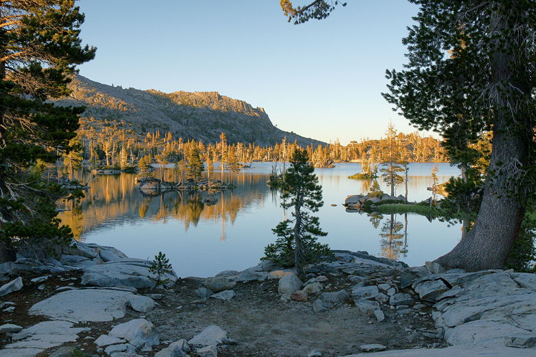
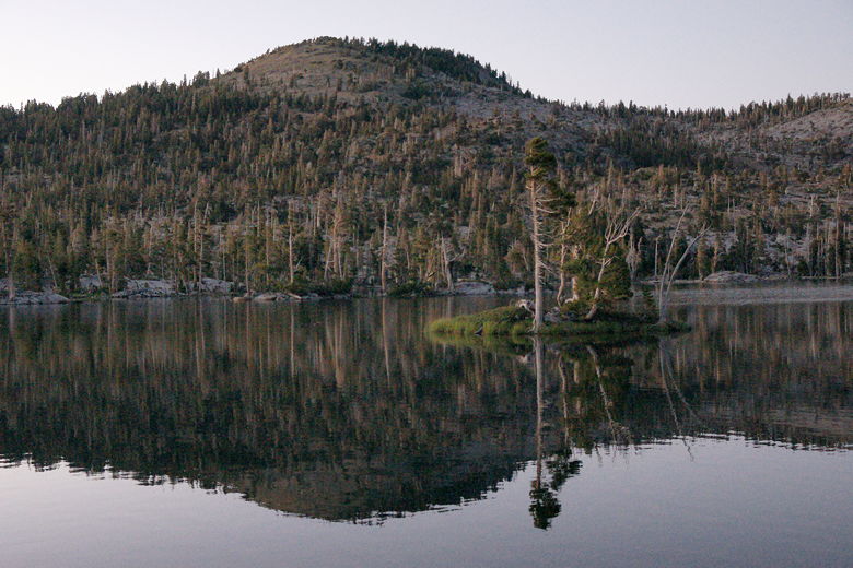
Our humble home at Middle Velma Lake West end of Middle Velma Lake Islands in Middle Velma Lake West end of Middle Velma Lake Middle Velma Lake Middle Velma Lake Late afternoon light glowing on Middle Velma Lake Middle Velma Lake Middle Velma Lake
We almost had the place to ourselves, with just another pair of campers to the east (along with
their dog), and some campers to the north. None of the other campers were in our visual range.
After dinner we walked east along the southern shore, finding a place by the water. We could
hear ducks in the peaceful, beautiful lake. Several small tree-dotted islands dot the lake.
I would say it's the prettiest lake on the trip.
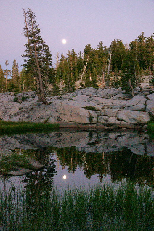
Full moon reflecting in pond on southern side of Middle Velma Lake Southern shore of Middle Velma Lake Northern shore of Middle Velma Lake Looking out at the northwestern end of Middle Velma Lake in the evening
We returned to our camp and went into our tent. As we were starting to sleep, I heard the
unmistakeable bass thumping of amplified music. I couldn't believe it. I'm not sure where
exactly it was coming from, but I was too tired to get out of the tent to see. Thankfully it was
far enough away that it was drowned out by other noise fairly quickly, and it only lasted a few
minutes. Still, I can't say it made me happy. At least the skies were clear and the wind was
almost non-existent, a welcome change from the previous two nights.
(Click image to view full size)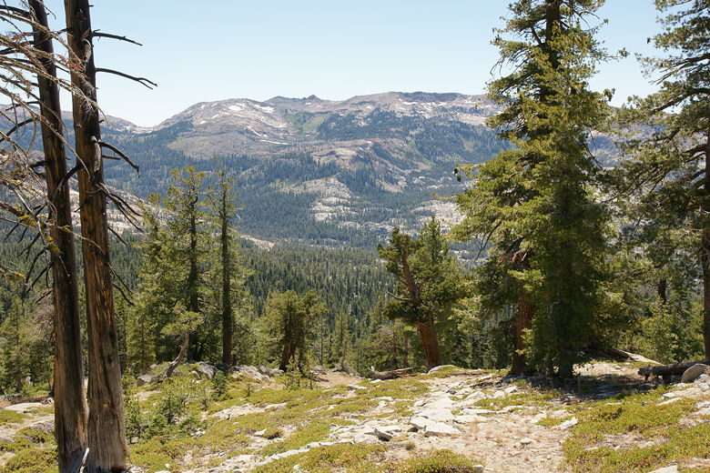

Related Pages:


|

|