|
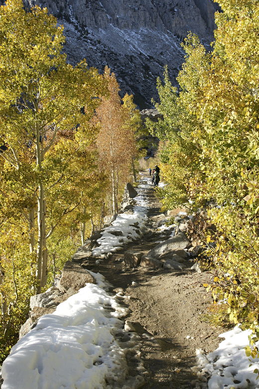
We made the drive to South Lake, passing the Four Jeffrey and Table Mountain campgrounds along
the way. There were some nice yellow aspens along the way, especially near the Table
Mountain campground. Normally, I might have stopped to take some pictures, but I wanted to
make sure we had plenty of time to finish today's hike, especially considering how long it
took us the day before. So I kept going. The road was in great condition compared to the
top of Rock Creek Road. It was snow-free all the way to the trailhead parking lot,
at which we arrived at 11:10am.
The lower lot in which we parked was mostly full, but there appeared to be ample space in the
larger higher lot. While we prepped, we saw lots of people stop, take a quick look at South Lake,
then turn around and leave. So, despite all the cars in the lot, it would not be a crowded
hike at all.
This time, based on what we had learned the previous day, we decided against even bringing our
snowshoes. Our winter boots would be fine. We started off on the trail, which initially
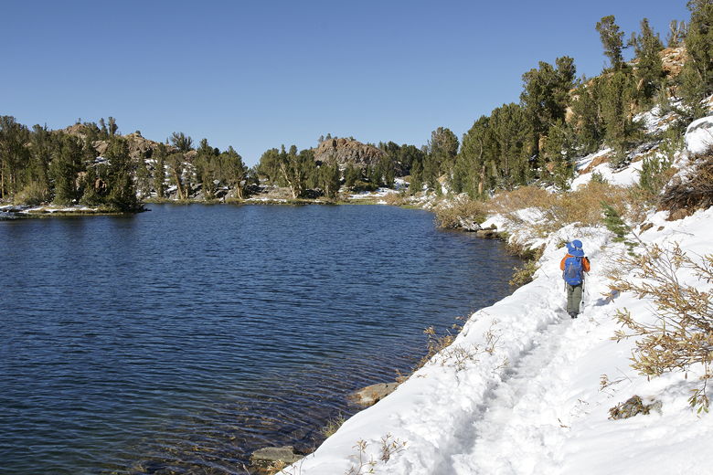
heads slightly downhill toward the lake shore. It then climbs steadily uphill, roughly parallel
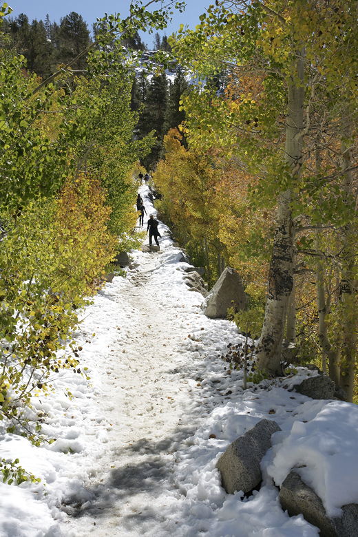
to South Lake's northeastern shore. This part of the trail was icy, so it was good to have our
trekking poles here. I worried a bit that it would still be icy when we returned heading downhill.
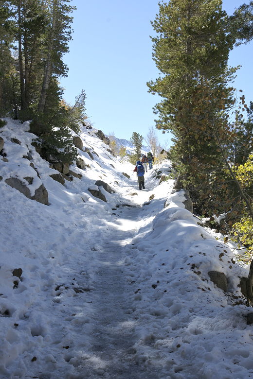
Heading up the icy trail
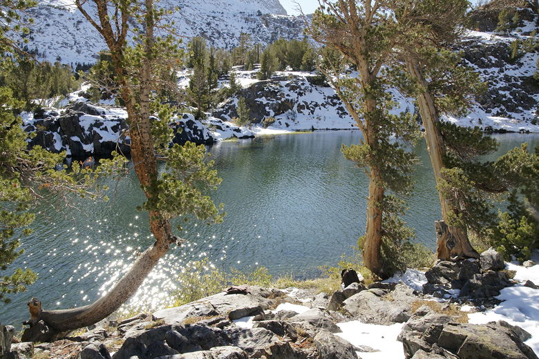
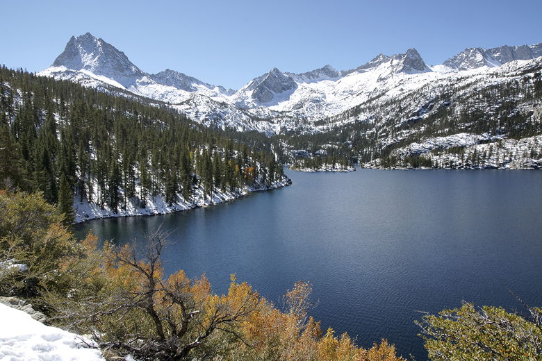
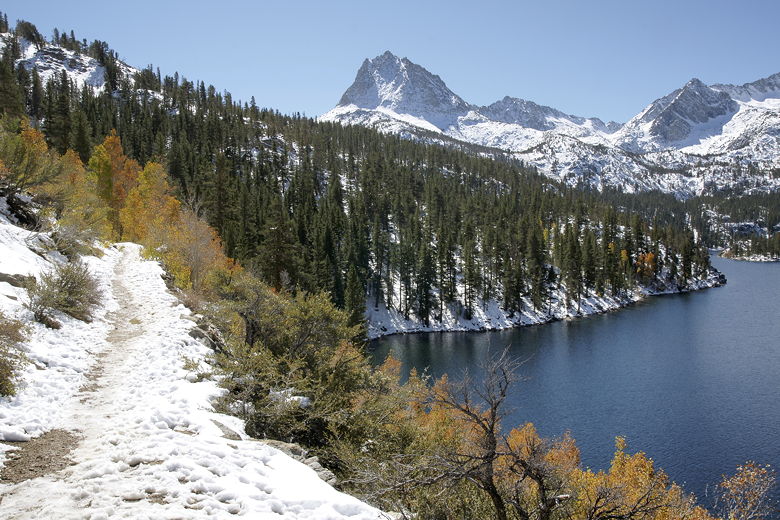
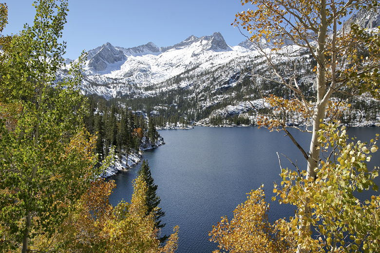
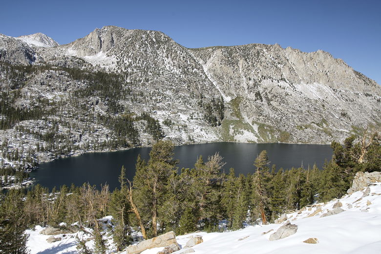
It wasn't long before we got our first good look at South Lake, backed by Mt. Thompson,
Mt. Gilbert, Mt. Johnson, and Mt. Goode. Snow covered the area. More impressive, though,
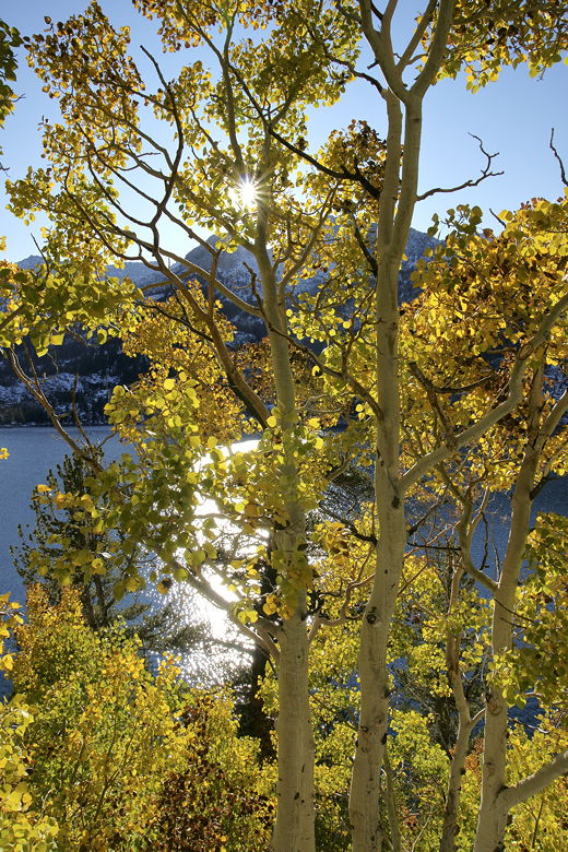
was the sight of yellow, orange, and green aspens lining the trail. It wasn't a huge grove, but
it was a very pretty sight. After about a quarter mile, we passed a sign saying we were entering
the John Muir Wilderness. The trail heads inland, away from the lake, and levels off very briefly.
South Lake
South Lake
Aspen-lined trail next to South Lake
South Lake
Aspen-lined trail next to South Lake
South Lake
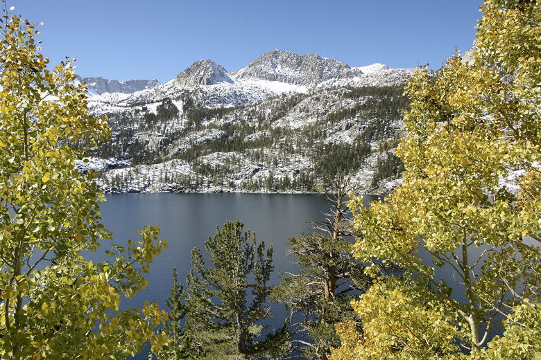
After about 0.6 miles (according to my GPS; the map says 0.8 miles), we reached a trail intersection
at a large boulder. To the right is the path toward Treasure Lakes, south of South Lake. We'd
be continuing on the left fork, toward Bishop Pass. But first we enjoyed a brief break and I went
a bit off trail to an overlook of South Lake, one last time before the trail turned away for good.
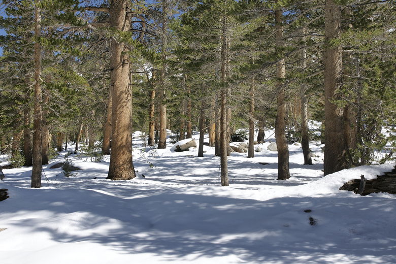
Snowy forest near the first intersection
South Lake from above
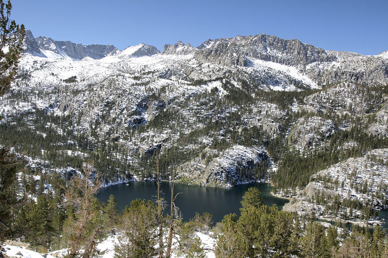
Southern end of South Lake
Taking a break at the first trail intersection
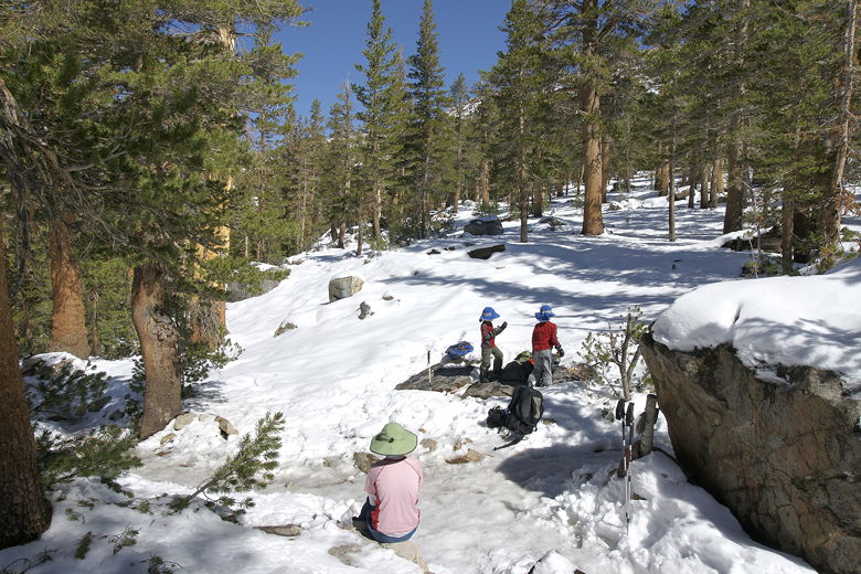
Back on the trail, the climbing continued. A couple of fishermen passed us around this time,
asking us how far it was to the lake. I told them we were about halfway. The trail flattened
out briefly again and we passed another trail intersection. To our left was the trail to Marie
Louise Lakes. There were some bootprints heading that way, but we stuck to the main trail,
continuing toward Long Lake.
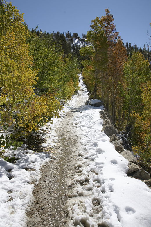
Small puddles started appearing on the trail in front of us, and we had to maneuver around some of
them. The trail was still hard-packed, a welcome change from the deeper snow we had to navigate
the previous day. The trail now starts to climb somewhat steeply, up narrow switchbacks. I believe near the
top of these switchbacks is the side path to the Chocolate Lakes, but I never saw the trail.
I suspect that no one had yet ventured that way since the snow fell a few days ago, and that somehow
the trail sign was obscured. In any case, we just stayed on the main trail.
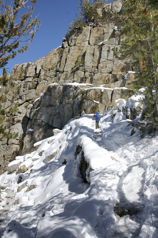
Heading up some narrow, icy switchbacks
We took another short break on the uphill. As we did so, a couple of photographers walked up past
us. We'd see them again shortly.
After our break, we climbed a bit more before the trail leveled off and even descended a bit.
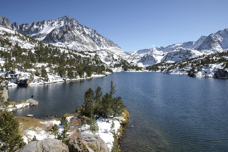
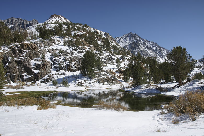
Suddenly, we saw a small body of water in front of us, and then the bulk of Long Lake itself.
Since I hadn't seen
the trail intersection for the Chocolate Lakes that I had expected to see, and my GPS read only
1.7 miles, I had to double check the map. But there was no mistaking it, we'd already reached
Long Lake. We noticed the two photographers here, but after taking a few pictures
they turned around and headed back toward the trailhead.
That's too bad for them, because the best was yet to come, and not all that much further away.
The northern end of Long Lake
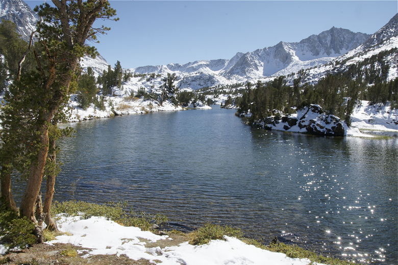
Looking south from near the end of Long Lake
Looking south up Long Lake
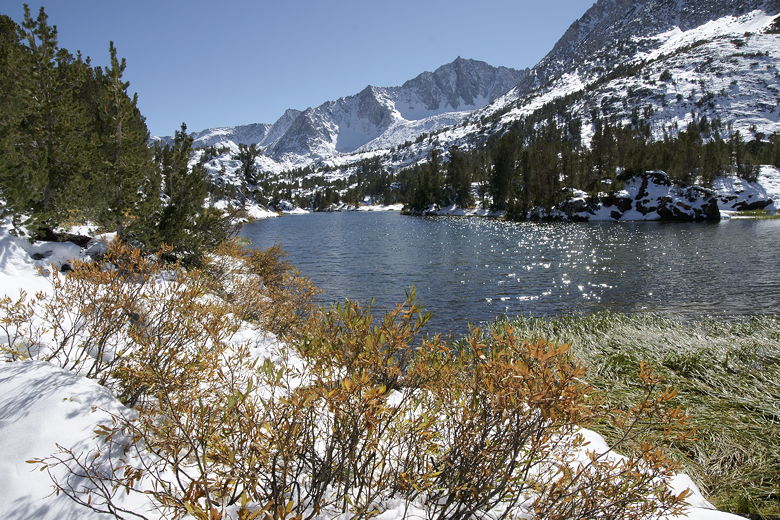
We crossed the lake's outlet stream on some well-placed rocks, then picked up the trail on the
other side. The trail basically follows the eastern shore of the lake. After about 0.3 miles
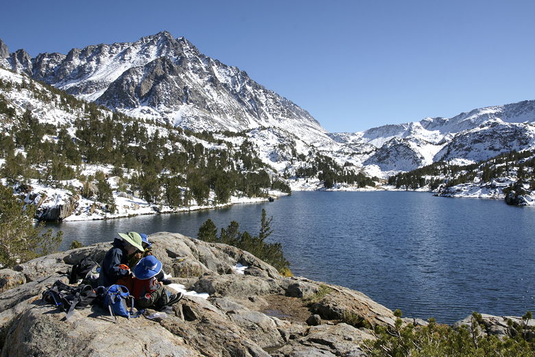
(the lake is about 0.9 miles long), we found a great rocky area overlooking the lake. It was the
perfect spot for a lunch break.
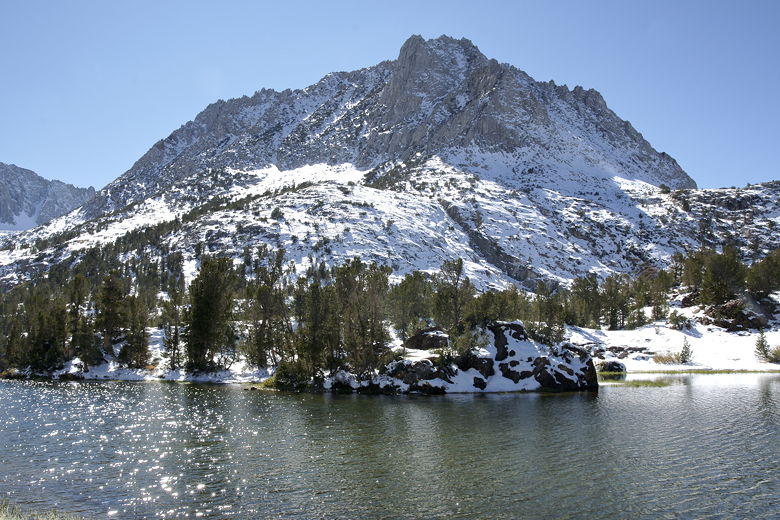
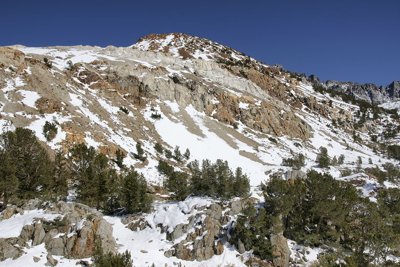
Hurd Peak above Long Lake
Chocolate Peak above Long Lake
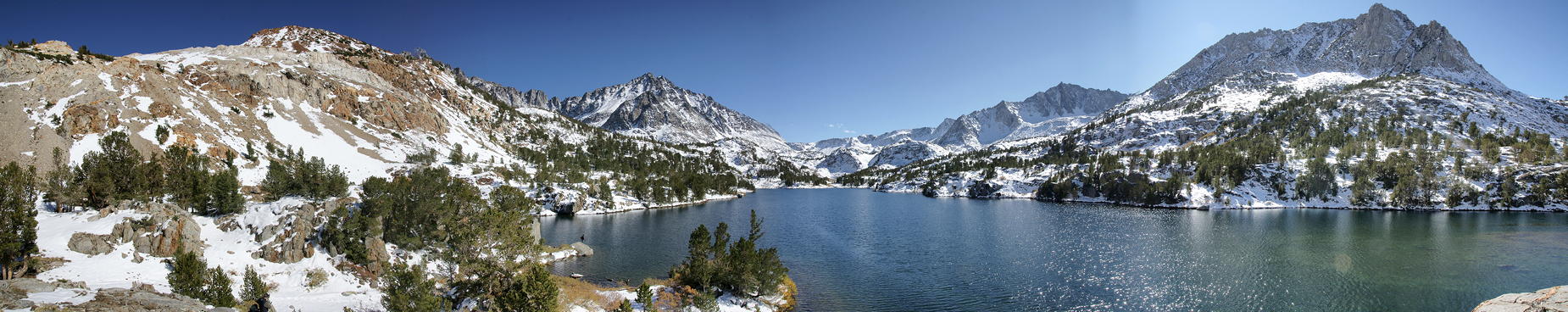
From our lunch perch, we had a panoramic view of the area. Facing south, to our left (east) was
Chocolate Peak, noticeably orange in comparison to the other mountains in the area. Below us
to the left, a fisherman casted into the water, hoping for a bite. To the right, Hurd Peak
dominated the view. In front of us was the remainder of Long Lake, backed by majestic mountains
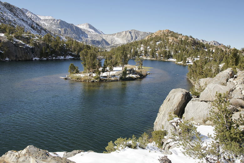
at Bishop Pass. Behind us, to our right, a small island sat in the lake, topped by a handful of
trees and some snow.
|