|
This hike starts out exactly the same as the Waianapanapa Coast hike, up to the point of reaching the black sands of Pailoa Beach. From the picnic area, we hiked south along the railing, then turned left and down to Pailoa Beach. The small beach was crowded with sunbathers, swimmers, and people just taking pictures and soaking in the view. We passed right by them all (garnering a few sideways glances at us in our hiking gear), then picked up the trail on the other side of the beach.
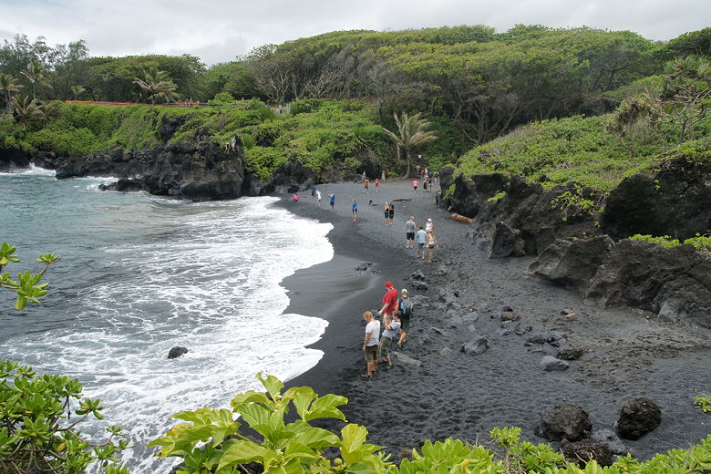
Pailoa Beach
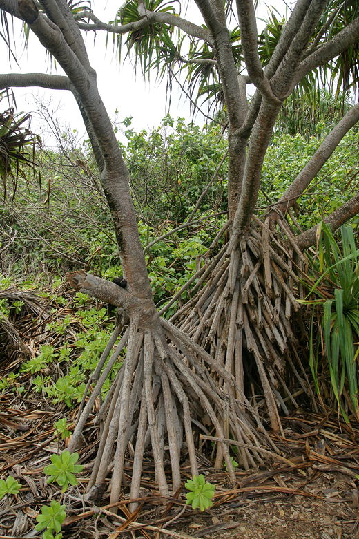
Hala trees
Small beach near Pailoa Beach
Looking back at Pailoa Beach
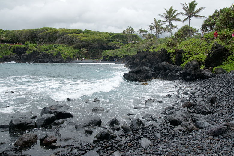
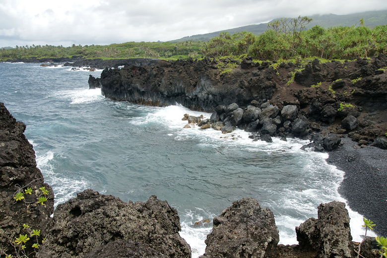
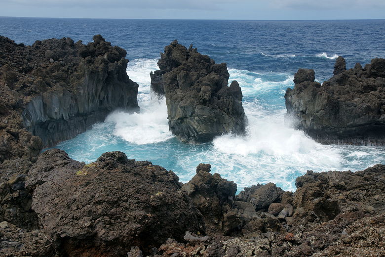
The trail climbs above Pailoa Bay, providing nice views of the beach, the bay, and the surrounding area. The skies were partly cloudy but it was beginning to heat up as we walked above pretty Keawiki Bay, with water rushing in and out like a giant washing machine.
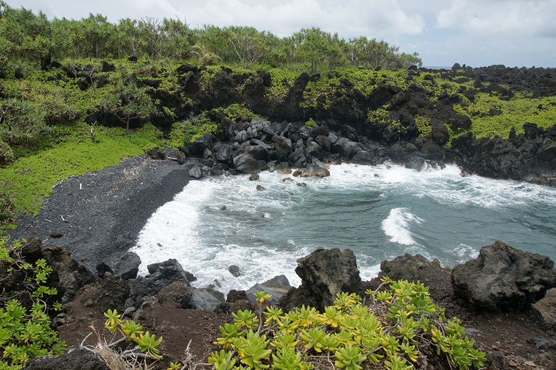
Keawiki Bay
Keawiki Bay
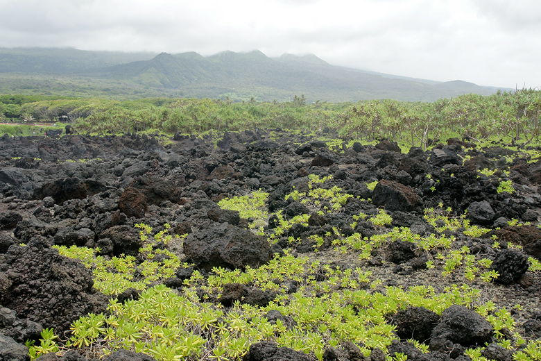
Looking inland toward the mountains
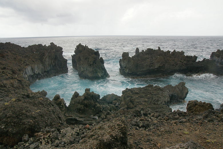
Next we reached Pukaulua Point, where there's a spur trail out amongst the volcanic rocks, but we kept to the main trail. We were now positively roasting, but as we stopped at an overlook of a semi-cove, the clouds rolled in and the first drops started to fall. Quickly, the skies opened up and the rain fell in earnest. We eventually started to put up the tarp, but by the time we got it up suitably, the rain had mostly stopped. Still, it gave us a good soaking for the 5 minutes that it lasted.
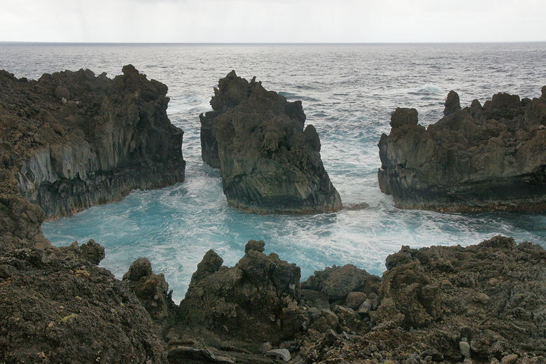
Rough seas, right before it started raining
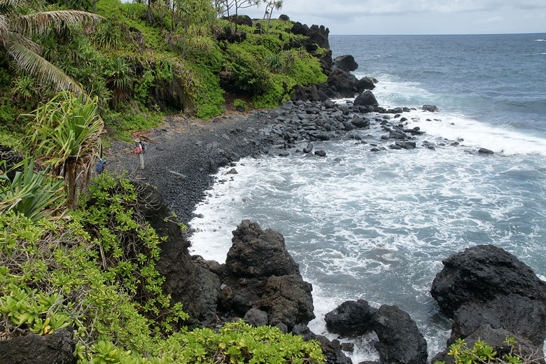
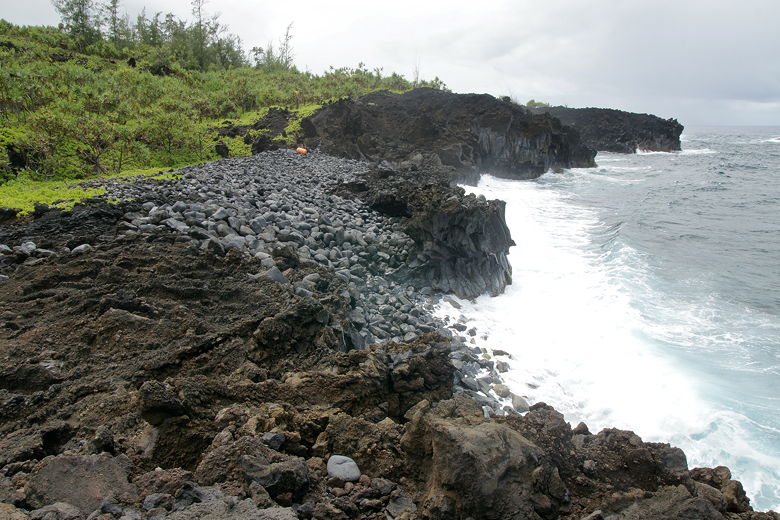
We gathered ourselves and continued hiking up and down the rocks, over pumice. Soon we could see our destination below - a boulder beach about a mile from the trailhead. Planes and helicopters passed overhead as we settled down for a snack, the waves crashing on the cliff wall below us (the boulders sit on a shelf above the water).
It wasn't until I looked at a satellite picture later that I realized that we were actually
very close to the Hana airport runway at this point.
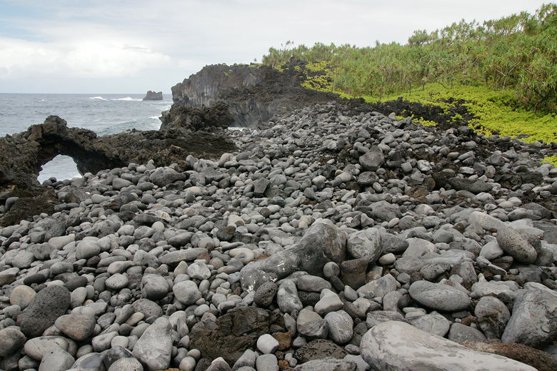
Looking back along the boulder beach
Looking back at the boulder beach on our return
We quickly made the return trip, stopping on the north shore of Pailoa Bay briefly to let the kids throw rocks in the ocean. Then we walked across Pailoa Beach, past all the swimmers and sunbathers, and back to the picnic area.
Sunny skies return
| 

