|
When we arrived in the large parking lot, there was only one other car. There are pit
toilets here, along with several bear boxes for storing food while you're away from your
car. It was still a bit overcast, but the weather forecast called for it to improve,
so we hung out a little while, waiting for it to warm up.
While we were waiting, a truck came by and parked in the lot near us, its two occupants
waiting around, talking. Later, a van pulled up next to it and also waited. I couldn't
figure out what they were doing (I'll admit it made me a bit nervous).
Just as we were about to start our hike, we got our answer. A group of what looked to be
about a dozen boy scout backpackers came down the trail. They were apparently picking them up
(the van for the boys and the truck for all their gear).
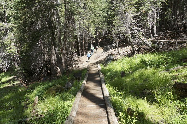
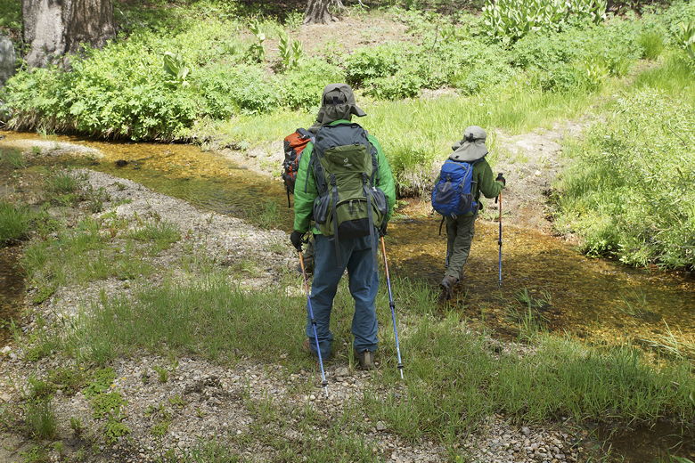
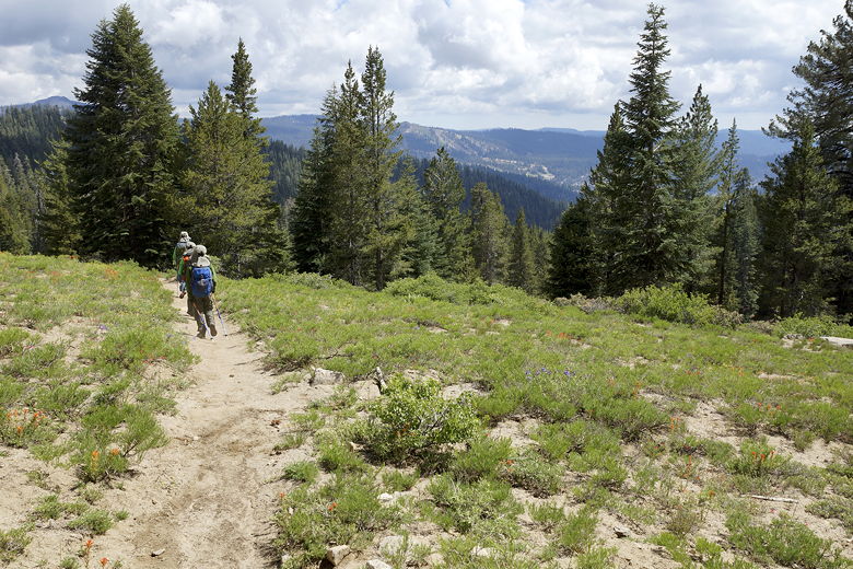
We crossed the road and started hiking up the trail around 10:50am, just as the sun was starting
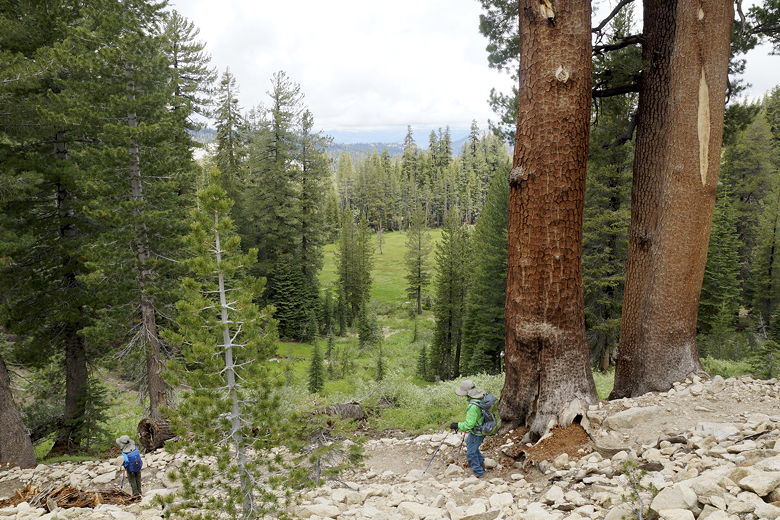
to come out. The trail starts climbing immediately, through the forest. It levels off a bit,
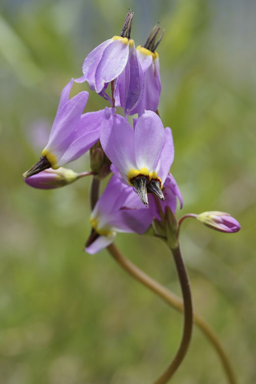
then climbs some more. Along the way, we had repeated encounters with meadows, wildflowers,
and snowplants, along with a couple stream crossings.
Crossing a small meadow
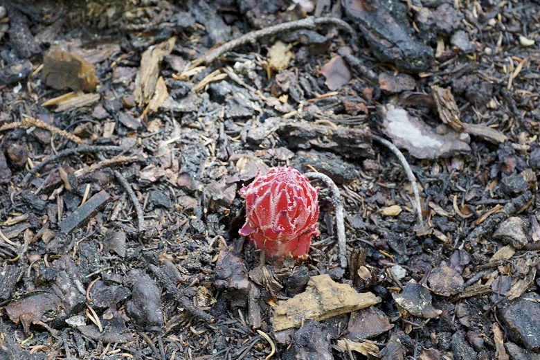
Snow plant
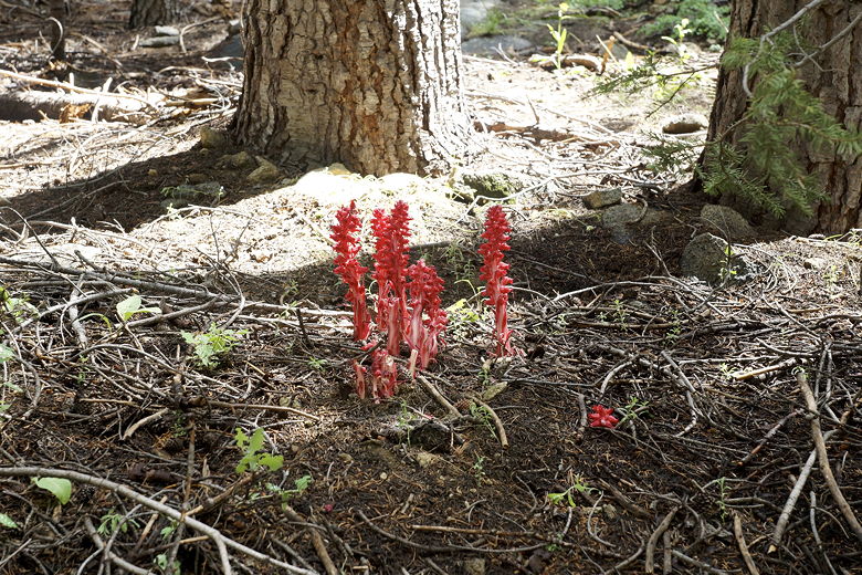
Snow plants
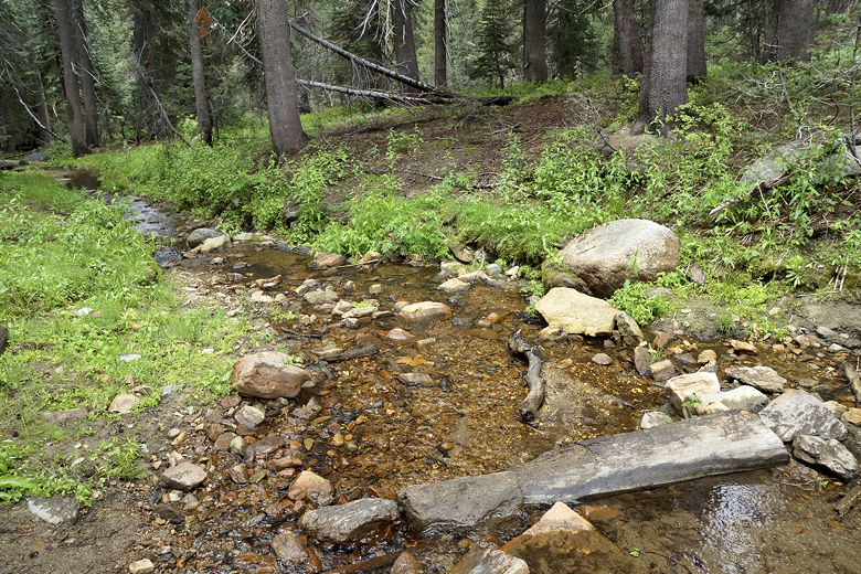
Small stream crossing
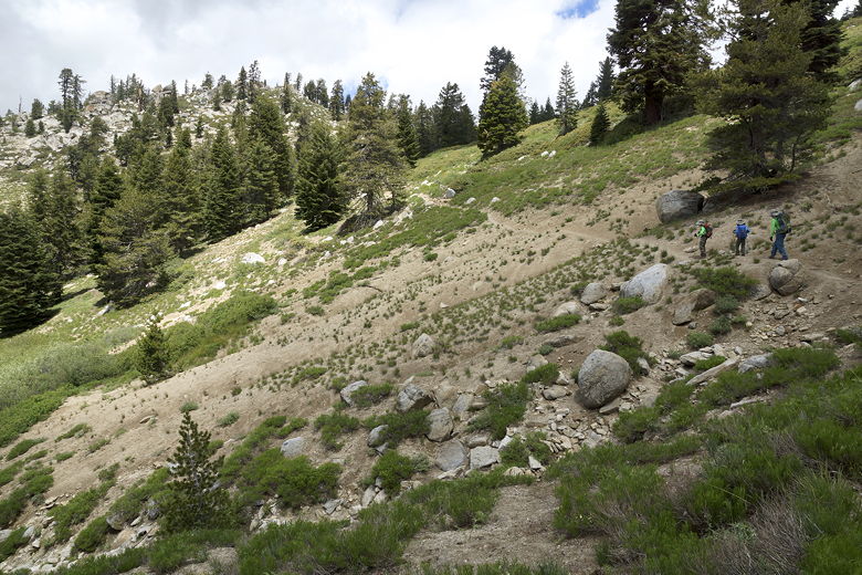
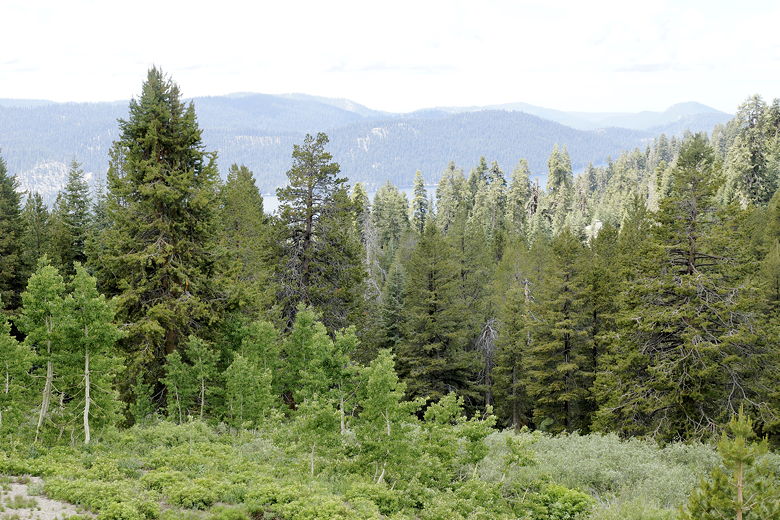
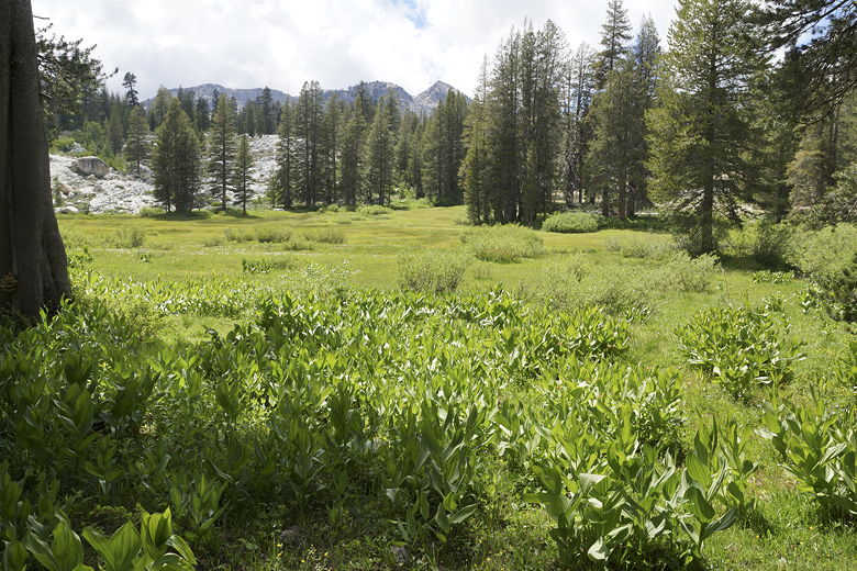
As we climbed further, the views started to open up and we could just make out Huntington Lake
above the tree tops to
our left, far below (nearly 2000 feet below). Soon after that, we reached a trail intersection,
with a trail coming in from the left below. This was the trail that came from the
Potter Pass Cutoff trailhead.
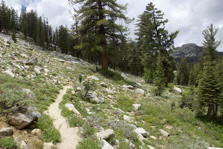
We reached the top of
Potter Pass, about 600 feet above the trailhead. We stopped here for a break as we
enjoyed the views of the meadow below us to the north.
Views leading up to Potter Pass
View of Huntington Lake
To the right was a faint unmarked trail that I would guess leads to Idaho Lake. A ranger had
told me it's not maintained, so I don't know what shape it's in. From the map it looks like
the lake is less than a mile away from the pass.
After our break, we continued along the trail downhill from the pass. Soon we made a left
turn onto the Twin Lakes trail. To our right we had a view down to a nice meadow below
that we'd skim the border of on the way back. We then reached Lower Twin Lake. It's small
and not too inviting, so we didn't stay long.
View of meadow on the descent from Potter Pass
Heading toward Twin Lakes
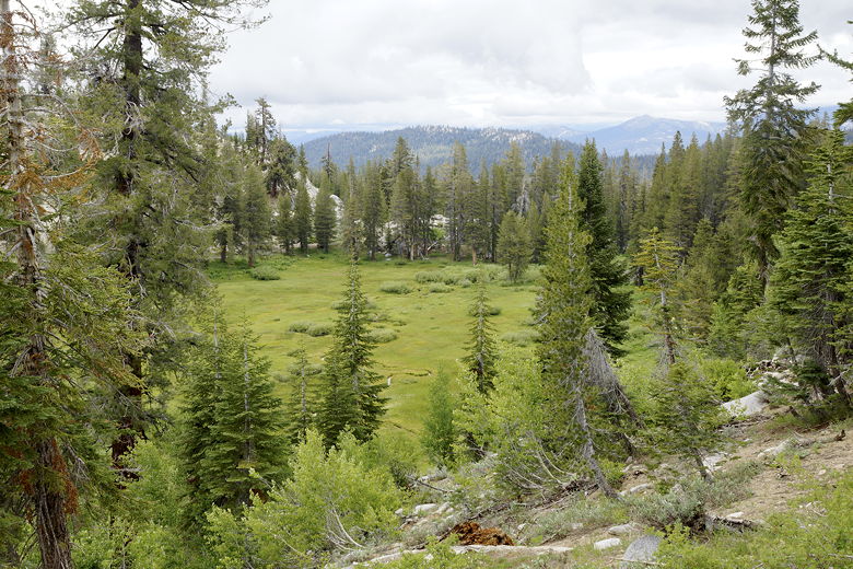
Meadow to the right on the way to Twin Lakes
Lower Twin Lake
Lower Twin Lake
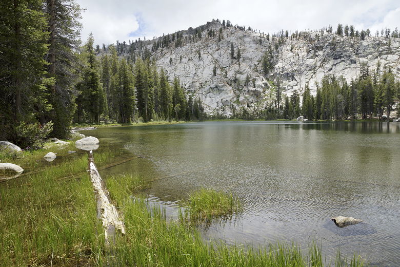
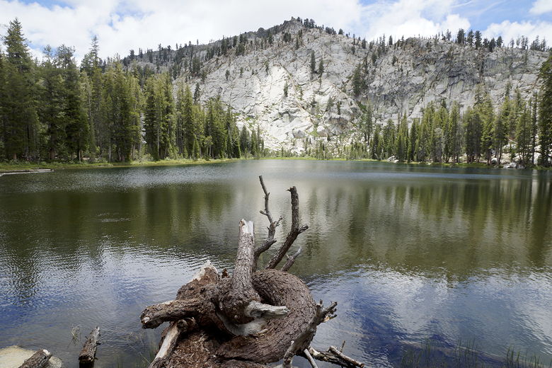
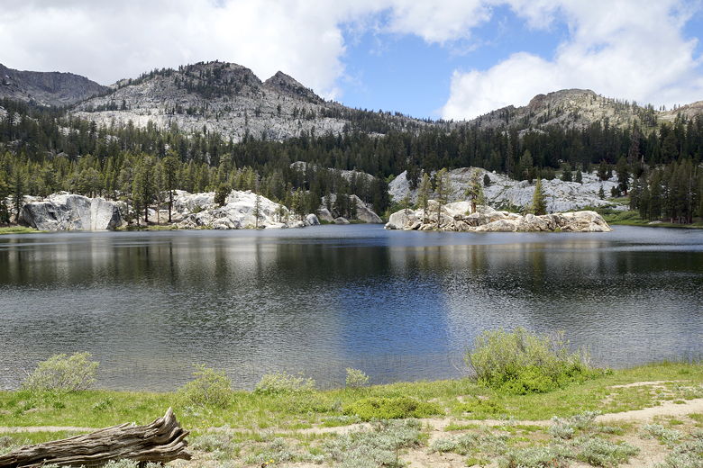
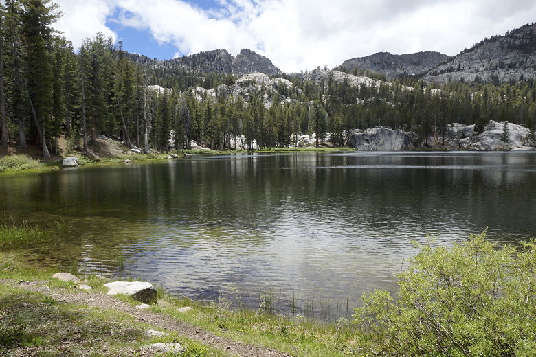
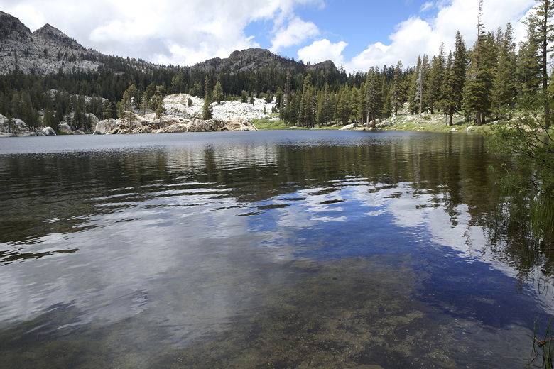
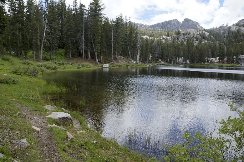
Continuing along the trail, just a few minutes later we reached much larger Upper Twin
Lake, in a much more dramatic setting. There's a rock island in the middle, and
the lake is backed by tall mountains. We could see small remnants of snow up on those
mountains. To top it off, the sun was finally winning its battle with the clouds at this time.
Upper Twin Lake
Upper Twin Lake
Rock island in Upper Twin Lake
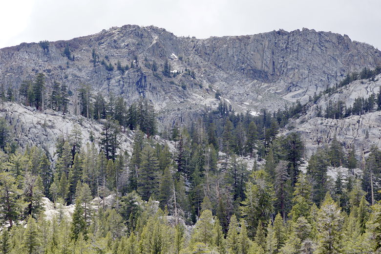
Snow on mountains above Upper Twin Lake
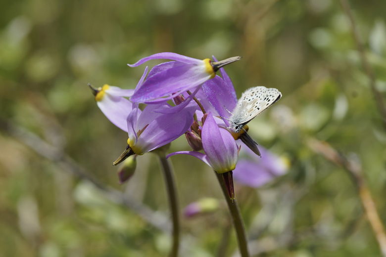
Flowers at Upper Twin Lake
Flowers at Upper Twin Lake
Upper Twin Lake
After a break of over an hour here, we started back onto the trail. At the same time,
a group of backpackers (possibly another group of boy scouts) was reaching the lake,
planning to camp here or at George Lake. These were the first people we'd seen since
the trailhead.
We continued the Twin Lakes Loop, heading further downhill toward the meadow. We
ran into two more day hikers coming in the opposite direction before we skirted the
edge of the meadow, battling a few mosquitoes along the way. We also had to cross
a couple small streams, but it was easy to do so.
Another small stream crossing
Corn lilies
Eventually we made a sharp right turn back onto the main trail, and shortly
completed the small loop section of the hike, back at the intersection where we'd
previously turned left to head toward the lakes. We now climbed uphill back up to
Potter Pass, under the much warmer afternoon sun. We reached the pass just as a
large group of backpackers reached the pass from the opposite direction.
From there, we descended back down to the parking lot, where there was still only
1 car in the lot. Despite all the people we'd seen on the hike, there were only 3
groups on the trail (and only 2 other day hikers).
More views on the way back after Potter Pass
| 

