|
There was only one other car at the trailhead when we started, and that guy
was headed elsewhere. So we pretty much had the trail to ourselves.
The trail starts out flat, in the open, but soon enters the forest and starts a
very gradual climb. The trail climbs to about 800 feet higher than the trailhead,
but it's spread out over 2 miles.
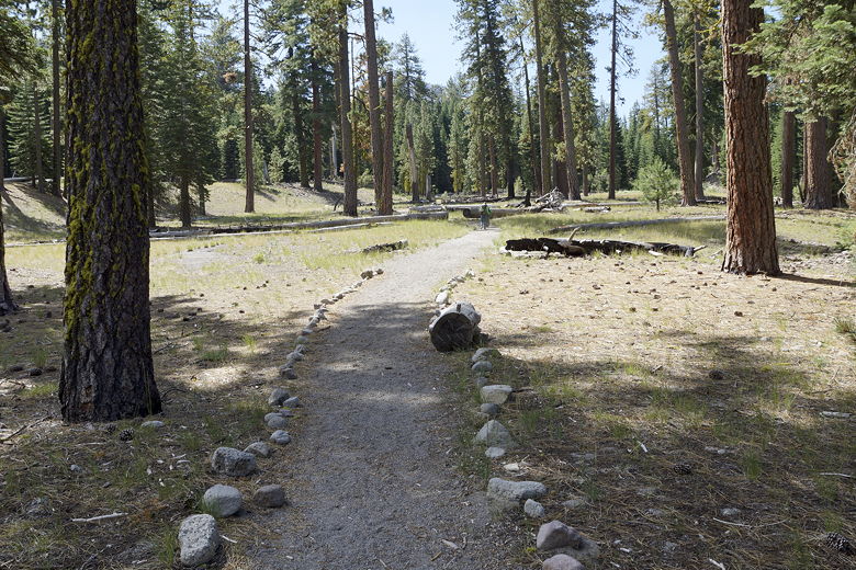
Start of the trail
After climbing about 180 feet, the trail dips about 60 feet before climbing from
there to the top. Along the way, we passed through an area of forest damaged from
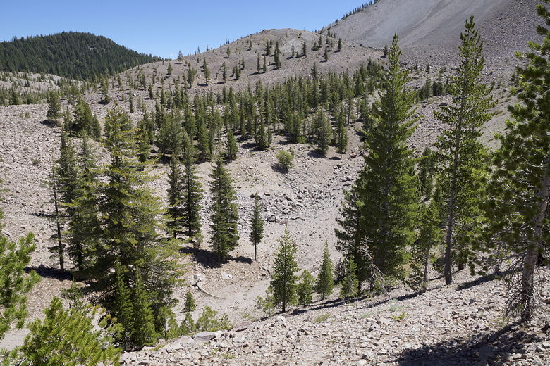
a previous forest fire. The forest then begins to open up as it climbs higher.
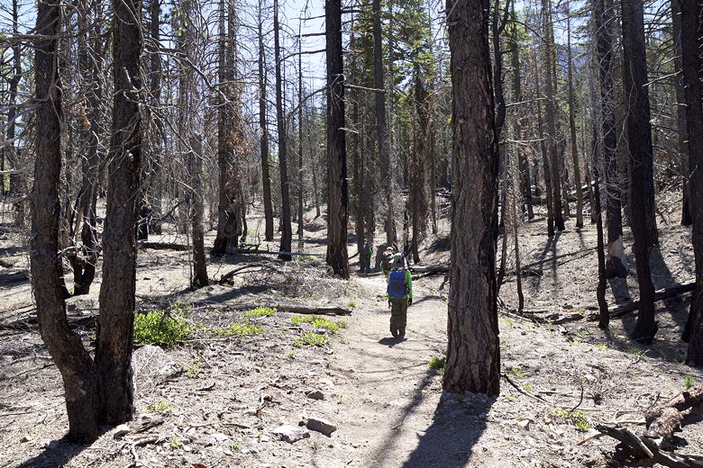
Through a burned area
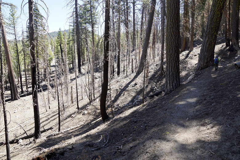
Through a burned area
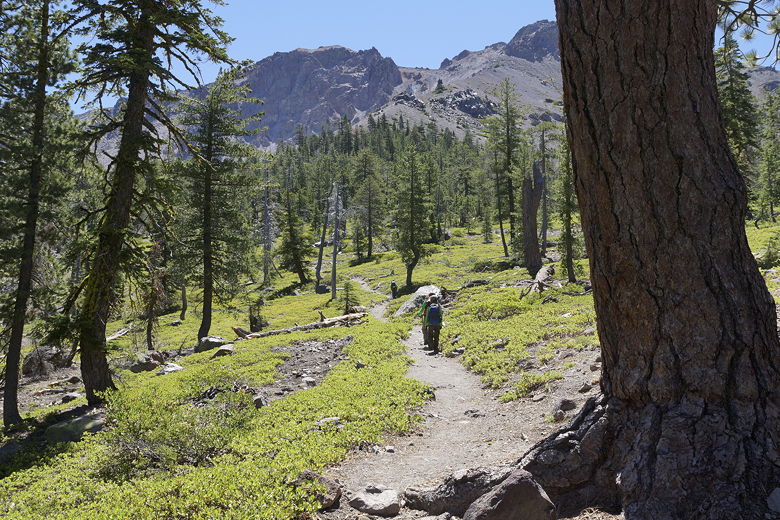
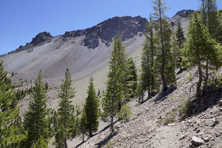
Hiking up toward Chaos Crags
After about 2 miles, we reached the top and crossed over the ridge looking forward
to seeing the lake. We saw a hiker sitting on a rock in front of us, and we asked
him where the lake was. "That's a good question," he said. It turns out that the
lake was completely dried up. I had read that it often dried up in September, but
I figured it would be ok in mid-July. Unfortunately, it had been a very dry winter
and the lake was already gone.
Chaos Crags
Crags Lake would normally be right there at the bottom
We found a place to settle down and have lunch. At least we had good views of Chaos
Crags rising above where the lake would be below us. We were obviously a bit disappointed,
but it wasn't a tough hike. After lunch, we headed back down and were quickly back
at the trailhead.
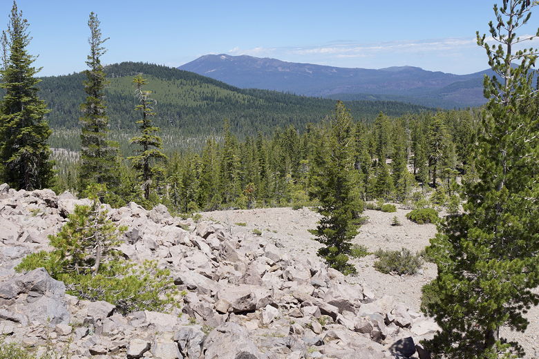
View from the trail
| 

