|
There was a lot going on at the parking lot, with a big youth group
and some sort of ceremony (perhaps a wedding) getting prepped. But
we walked a few feet down to the Mills Creek Falls trailhead, then
disappeared into the forest.
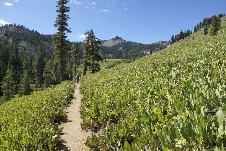
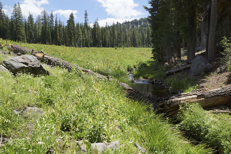
The trail heads downhill for about 0.3 miles, then crosses a bridge
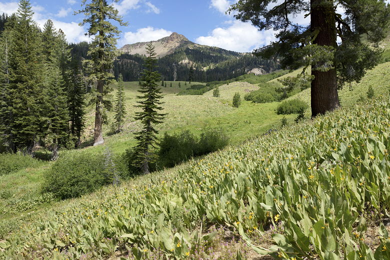
over a stream. From here there are hillsides full of mule's ear plants,
a pretty sight with mountains in the background to the left. The trail climbs
briefly before heading downhill again, re-entering the forest in the process.
Ascending hills full of Mule's ears
Hills full of Mule's ears
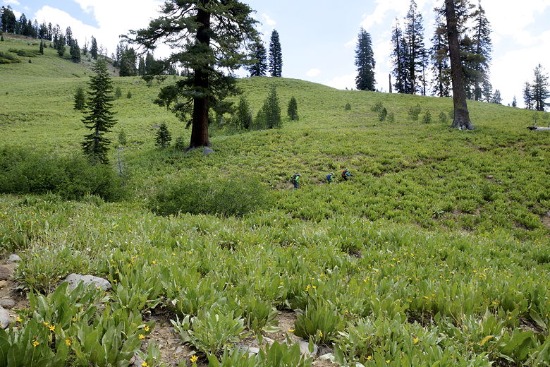
After about 0.9 miles the trail starts climbing again. We started seeing groups
of hikers, most of them headed in the opposite direction from the falls.
The trail mostly climbs for the next 0.6 miles, then descends again, traversing
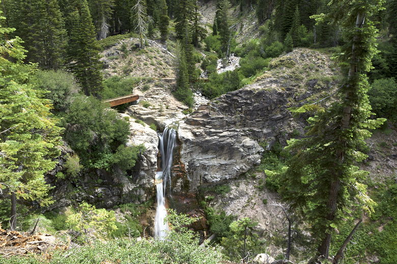
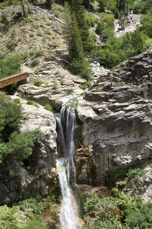
a hillside high above Mills Creek. After about 1.8 miles from the trailhead,
we reached the overlook of Mills Creek Falls -- at 75 feet, the tallest falls in
the park.
Mills Creek Falls
Mills Creek Falls
The falls are not your typical falls. There's one flow of water coming in from
the left, another coming in from slightly above to the right, and then it all falls
together from a ledge about 30 feet below.

Mills Creek Falls
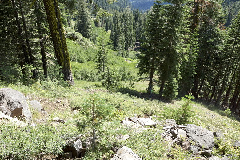
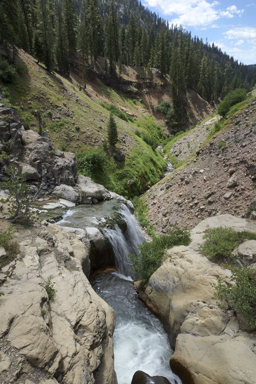
After a snack break, we left the overlook, which sits about 180 feet lower than the
trailhead. Now our task was to climb. We continued along the trail, crossing
the creeks over two footbridges. Then came a killer climb. The climb is only
about 500 feet, but whoever made the trail doesn't believe in switchbacks, making
the climb in half a mile -- about a 20% grade through the forest.
Above Mills Creek Falls
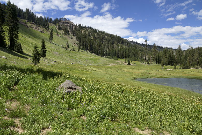
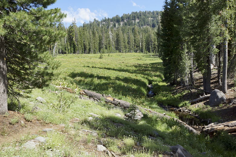
After trudging up the steep climb, we reached the edge of a beautiful meadow.
The trail skirts the northern edge of the meadow. After a brief respite from the
climbing, the trail climbs some more, though not nearly as steeply as before.
We gained about 250 feet in 0.8 miles from the top of the steep climb, then
descended slightly for about a half mile to Crumbaugh Lake.
Meadow
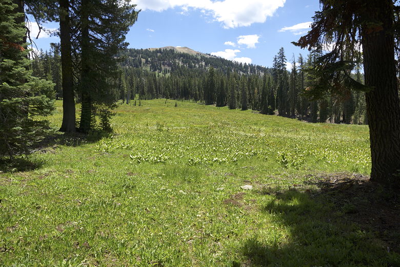
Meadow
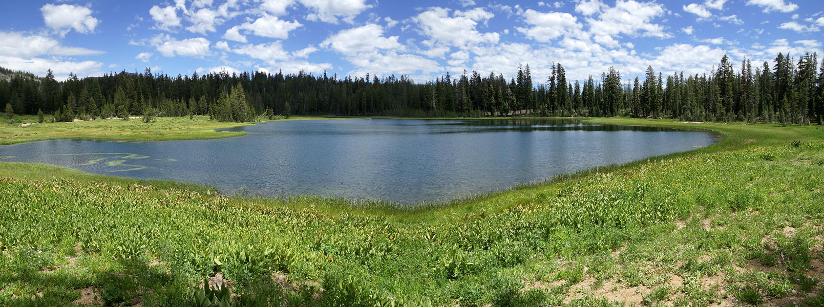
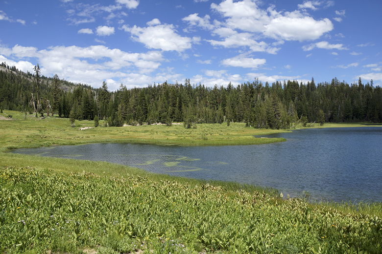
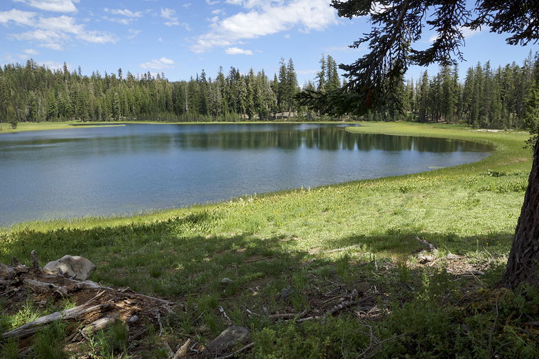
Crumbaugh Lake provides a much more dramatic setting than Sifford Lake. It's a
much larger lake, and has mountains rising to the northwest. Meadows surround
much of the lake. In fact, that's the one problem with the lake -- the entire shoreline
is surrounded by grasses. There is no accessible shore like at Sifford Lake.
There are no skipping rocks. So, while it's nice to look at it, it can't
be enjoyed up close and personal as easily as Sifford Lake.
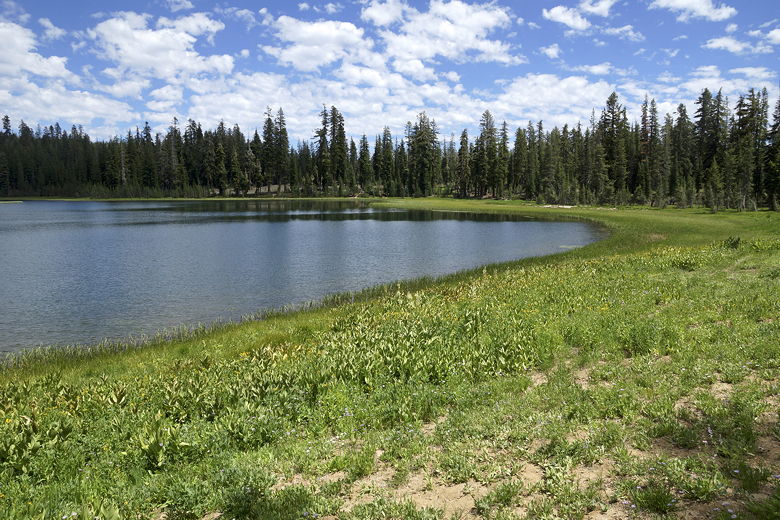
Crumbaugh Lake
|