|
At 6:30am I woke up and went outside the tent to find clear skies (as usual).
I had been tracking the progress of the Aspen Fire in the couple weeks
leading up to our trip. This was a lightning-caused fire started in late
July near Huntington Lake, close to where we had car-camped back in June.
In fact, the Kaiser Wilderness (where we had done two hikes) was closed.
If we had come a week or two earlier, smoke would have been a real problem.
But now the fire was over 85% contained and the air was clear.
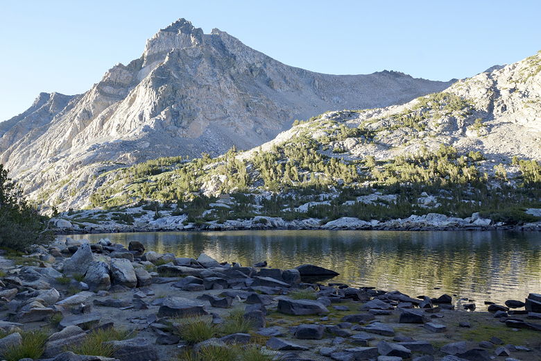
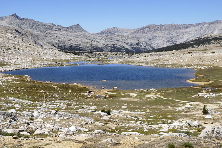
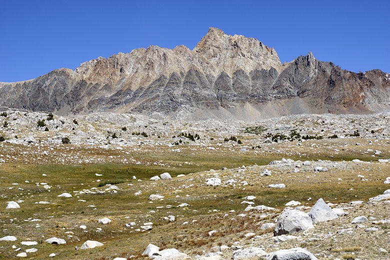
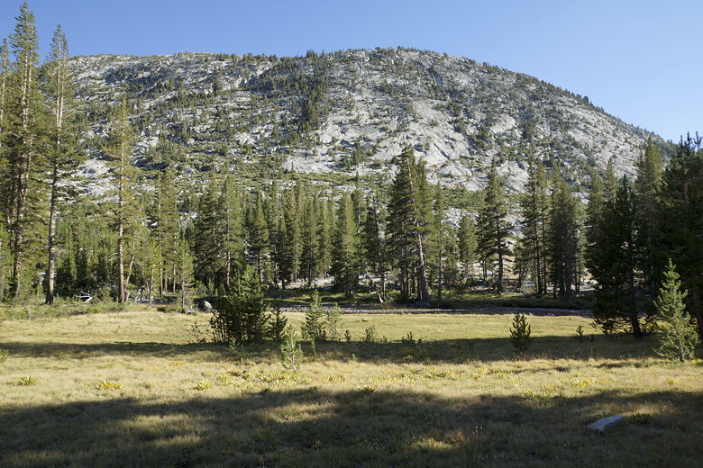
Piute Lake near sunrise
One of the new things I was carrying on this trip was a personal locator
beacon. I had been thinking of buying something like a Spot Messenger
or similar device for a while, but eventually decided that I only needed
something for true emergencies, and the beacon looked like it was more
reliable. Plus, I preferred the idea of not having to pay a monthly fee.
Still, I wondered to myself: under what circumstance am I going to push
that button? If I was simply lost, I'd try to find my way out. I wouldn't
want the cavalry to come out. Even if I was injured, if I could still
walk, I don't think I'd push the button.
Being trapped by a forest fire did cross my mind as one possibility, though.
You never know what's going to happen out there. So I carefully showed the
kids how to activate the beacon in case I wasn't able to. And of course I
left our rough itinerary with some people I could trust. Still, I thought it
was a very remote possibility that I'd ever press the button.
I'll get to why I just mentioned that shortly. But for now, picture me
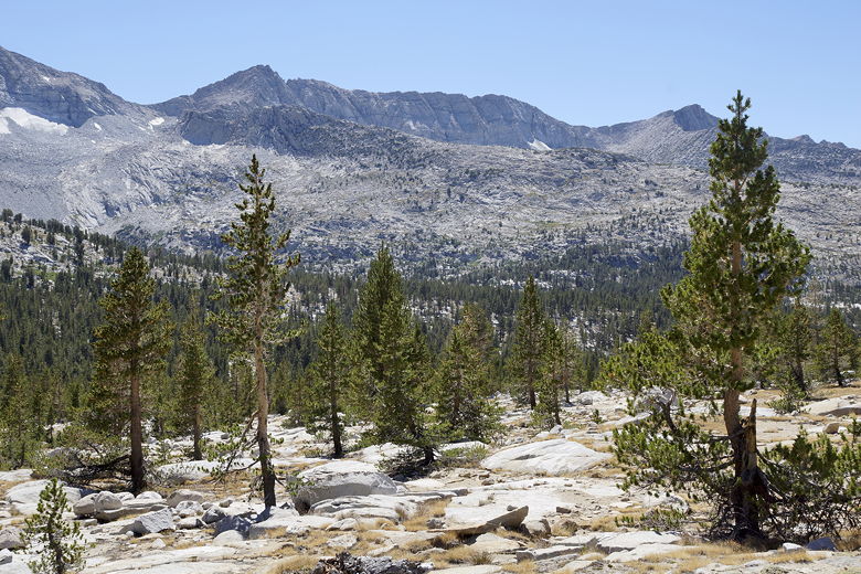
getting out of the tent, taking pictures of quiet Piute Lake, and then
getting breakfast ready as the sunrise started to shine light on the
mountains on the opposite (south) shore of the lake.
Before and during breakfast, we noticed a few backpackers going in either
direction, mostly toward the trailhead. While we were eating breakfast,
one pair of backpackers stopped and asked us if we had a satellite phone.
Apparently there was a child with altitude sickness further up the
trail. They thought that the child was so sick that they'd have to helicopter
the child out of the wilderness. I wasn't sure exactly where the child was,
but it sounded like well over the pass, maybe near Hutchinson Meadow,
our destination for the day. I mentioned I had the beacon, but it wouldn't
help. If I pressed it, they'd come to where the beacon was, not where the
child was. Still, I began to think that if we reached the child before
help arrived, I'd be obliged to press the button on the beacon on just our
second day of the trip. On the other hand, I figured that the backpackers
we just saw would probably reach civilization and call for help sooner
than we'd get there, if someone else hadn't already.
That was all in the back of my mind the rest of the day. For now, though,
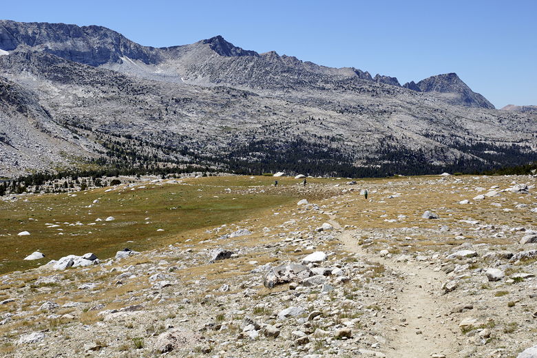
we packed up our camp and headed off on the trail around 10:15am. It was
hot already. We walked along the lake shore, but it wasn't as pretty as
at Loch Leven. After passing the lake, we started to climb, getting better
views of the lake and valley behind us.
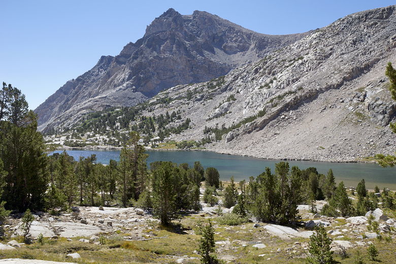
Looking back at Piute Lake from the trail
Another view of Piute Lake
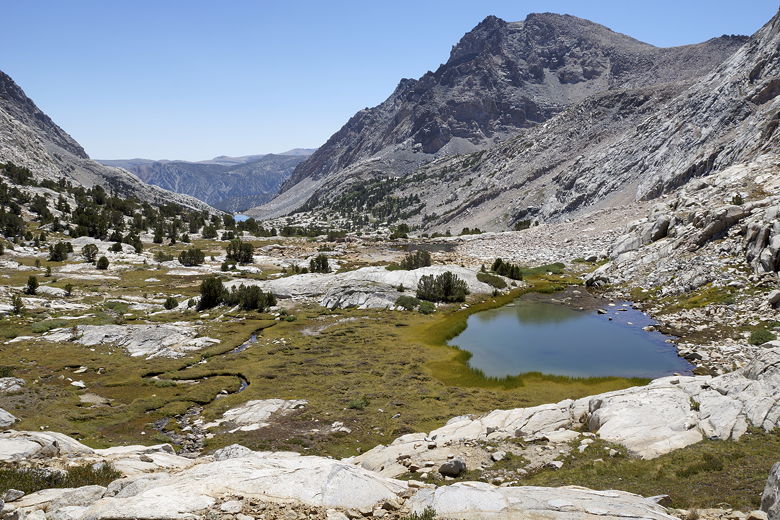
Pond above Piute Lake
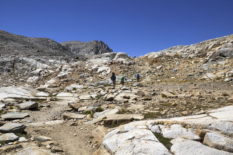
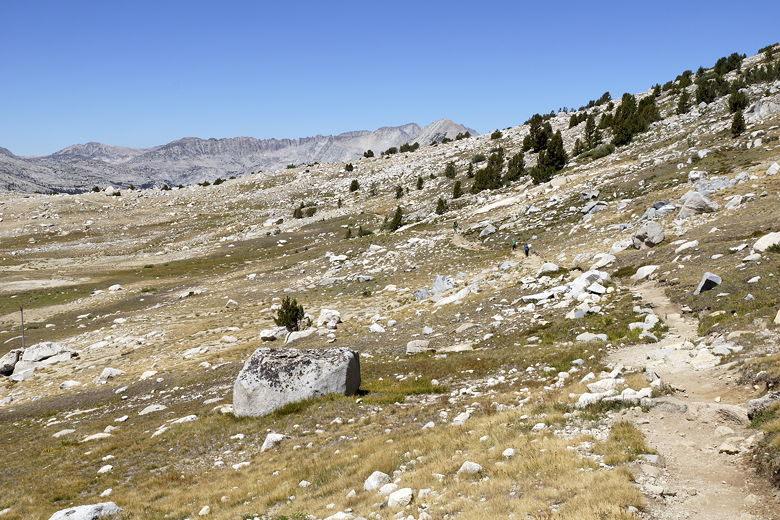
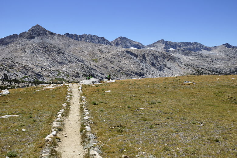
It was only about a 400 foot vertical climb to the pass from the lake,
but it looked much more imposing than that. A day hiker passed us on his
way to the summit. He was still there when we reached the top of Piute
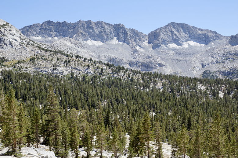
Pass, elevation 11,423 feet. From here, we had a great view of Summit
Lake and the desolate granite area around it to the west of the pass.
The west side of the pass sat in stark contrast to the east side, which was
lush in comparison.
Heading up to Piute Pass
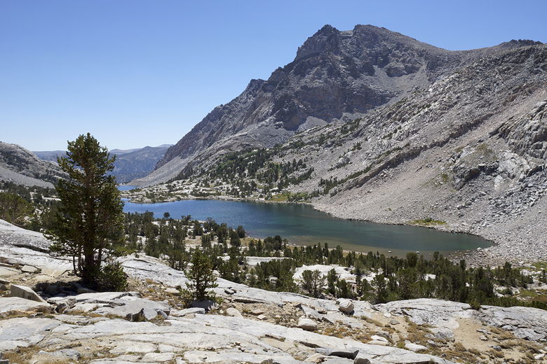
Looking back at Piute Lake from near Piute Pass
Summit Lake
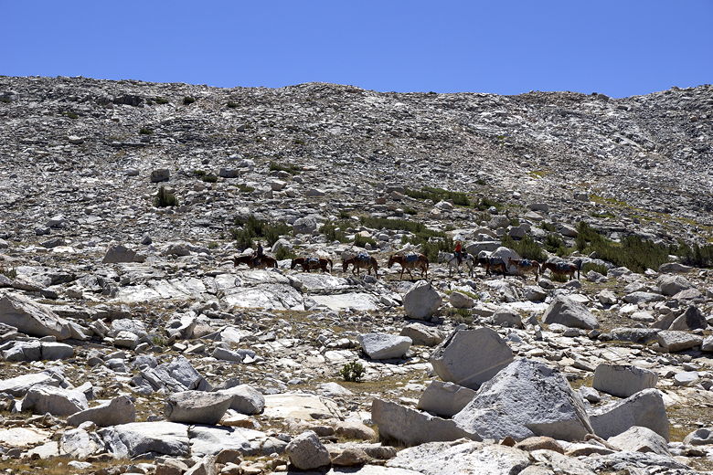
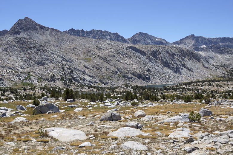
We had a nice break at the pass before heading down the other side. A
pack of horses approached from the Muriel Lake area as we left. We soon
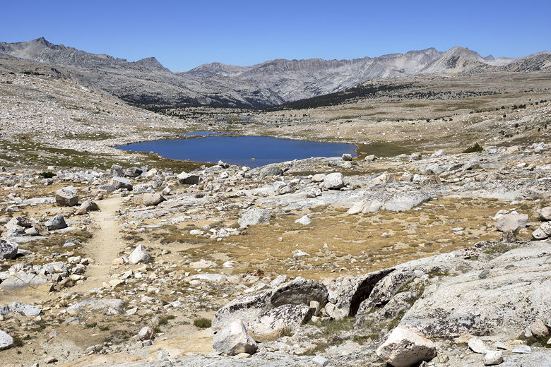
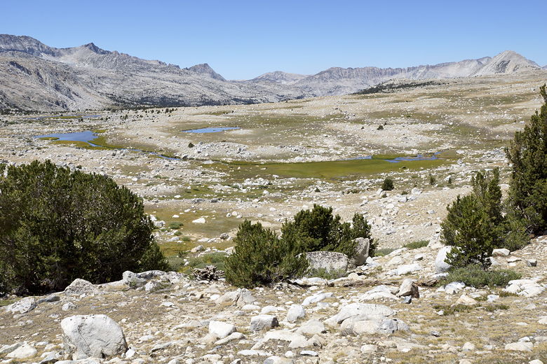
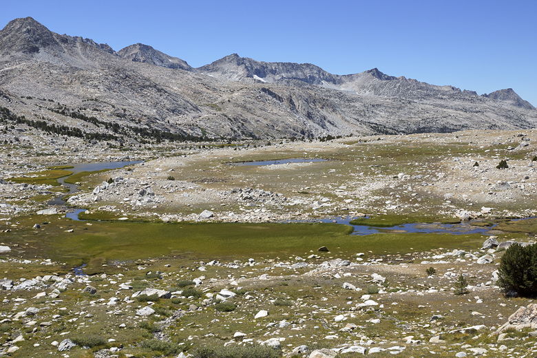
passed Summit Lake (elevation 11,225), wondering what the signs are that
are posted high up on metal posts around the lake. I'm still not sure (the
trail doesn't come close to the lake shore).
Pack train near Piute Pass
Summit Lake
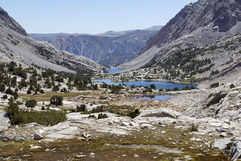
As we descended past the northern side of the lake, the views kept getting better
and better. The landscape was mostly barren until we approached
Upper and Lower Golden Trout Lakes. We had a break here before
descending and starting to find some trees again.
Trail near Summit Lake
Ponds to west of Summit Lake
Ponds and mountains
Mountains to the northeast of the trail
Continuing along the trail
Heading toward area above Golden Trout Lakes
Golden Trout Lakes
We basically didn't see anyone else on the trail from the time we left
Piute Pass until a bit past the Golden Trout Lakes, when we ran into a solo
backpacker coming the opposite direction. He explained how he had come
over Lamarck Col and was going to slowly make his way out of the
wilderness.
Mountains south of the trail
Tiny remnants of glaciers, perhaps
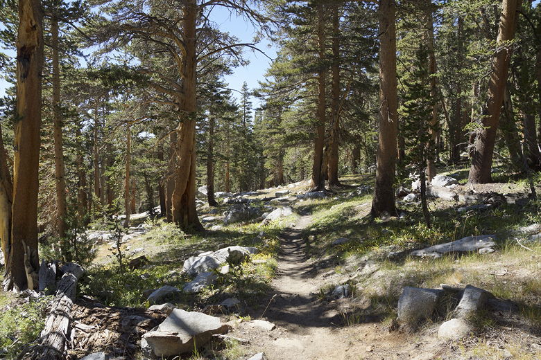
As we continued to descend, we started to see more grasses beneath the
trees. It was interesting to see the complete change in vegetation from
the top of the pass to where we were now. After crossing the 10,000 foot
sign (signifying no fires above that elevation), we reached the intersection
for Lower Honeymoon Lake. The spur trail to the left heads up a steep climb
to the lake. I don't know how nice it is, but we had no thoughts of
tacking on
more miles to our already long trip. Around this time (about 4pm)
we heard a helipcopter overhead, probably (I'm speculating) carrying out
the child with altitude sickness. So I probably wouldn't be pushing that
button after all.
Through the forest
We crossed a drift fence, then rock hopped across some streams. After we
crossed the last stream, I knew we had to look for a campsite. We dropped
our packs and almost immediately found a great big site right at the edge
of Hutchinson Meadow. It looked to be a large site probably used by
horsepackers, with a fire ring and ample space, right next to a large
outcropping, fairly well hidden from the trail and far enough away from
the water. Luckily, there was no one else here. In fact, we didn't
detect any backpackers at all in the area (and there were many more
campsites that we could see among the sparse trees nearby).
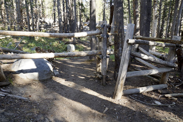
Drift fence
Hutchinson Meadow
After setting up camp, we washed up and then made the short walk across
the meadow to dip our feet in Piute Creek. This had been an 8+ mile day;
though it had been mostly downhill, we were still tired. After dinner
we started to get ready for bed. We started to hear someone shouting as
he walked down the trail. As far as I could tell, he was either yelling
out to a partner who was well ahead or behind him, or he was possibly yelling
to warn bears of his impending approach. In any case, he didn't stop...he
kept going right past all the campsites near Hutchinson Meadow. I'm not
sure where he was headed, as there aren't good campsites past Hutchinson
Meadow until the junction with the JMT, and I doubted he would make it there
tonight (it was already about 8:30pm).
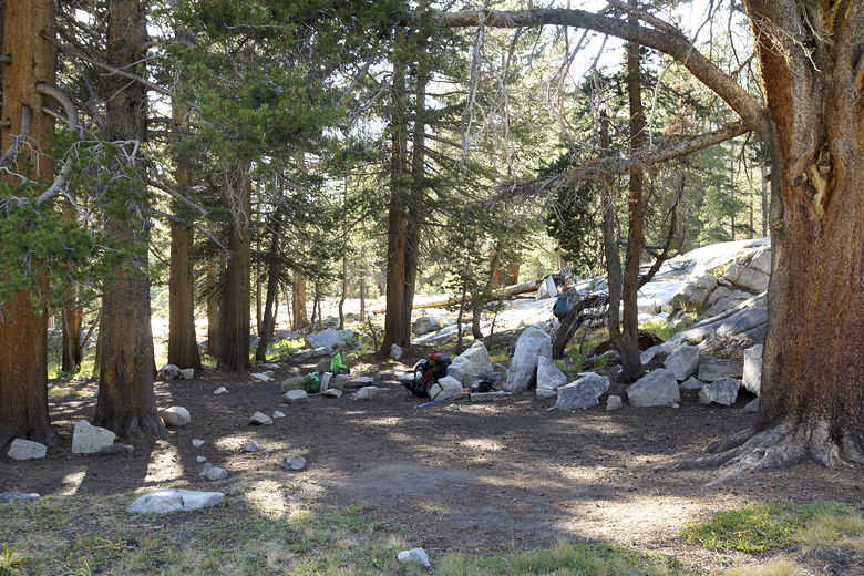
Campsite at Hutchinson Meadow
As I was about to enter the tent, I noticed that there were a couple mice running
around near our tent. I wonder if they're attracted to horsepacker camps for
some reason, as the only other place I'd seen them in the wild had been in a
large horsepacker camp in the Carson-Iceberg Wilderness. At least there
seemed to be a lot fewer mice here, and they didn't bother us during the
night.
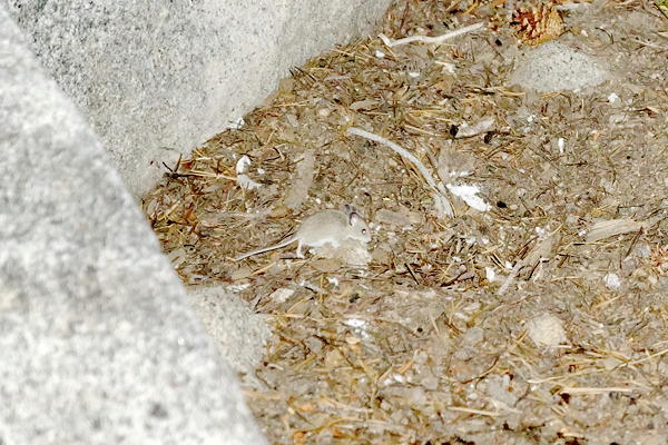
Mouse at Hutchinson Meadow
| 

