|
It had been rather cold in the middle of the night -- probably the coldest
it would be on this trip. Which is a bit surprising, since at an elevation
of about 9490 feet, it would be our second-lowest campsite of the trip.
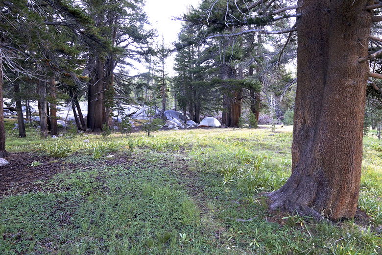
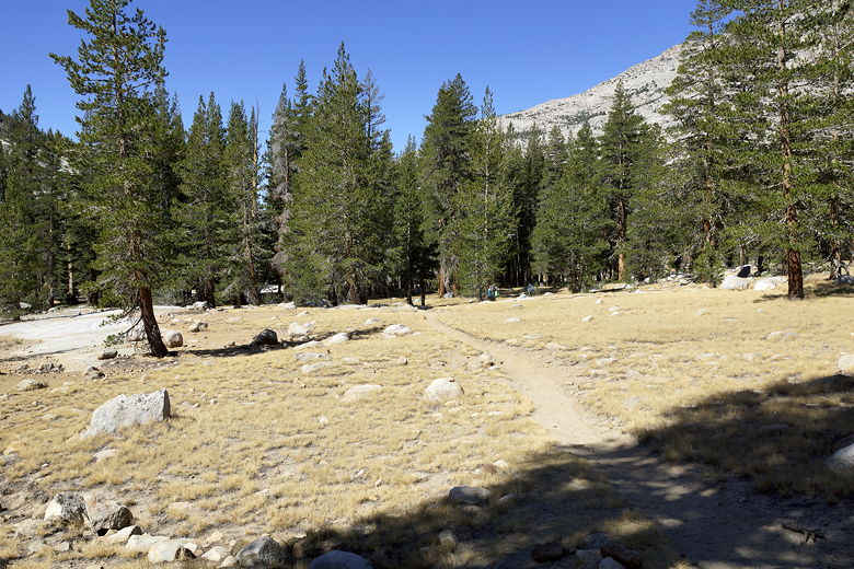
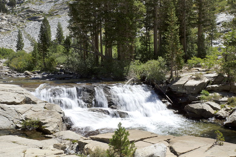
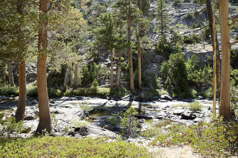
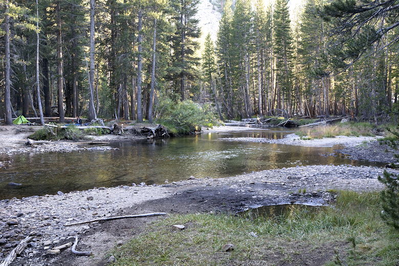
Hutchinson Meadow
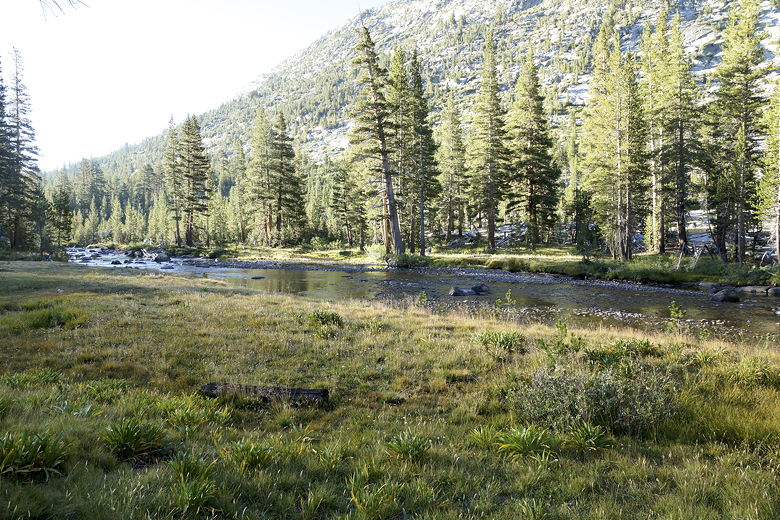
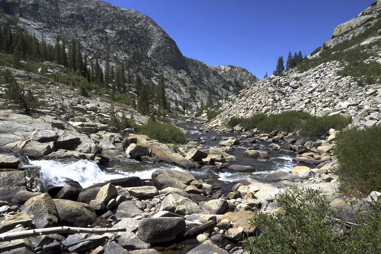
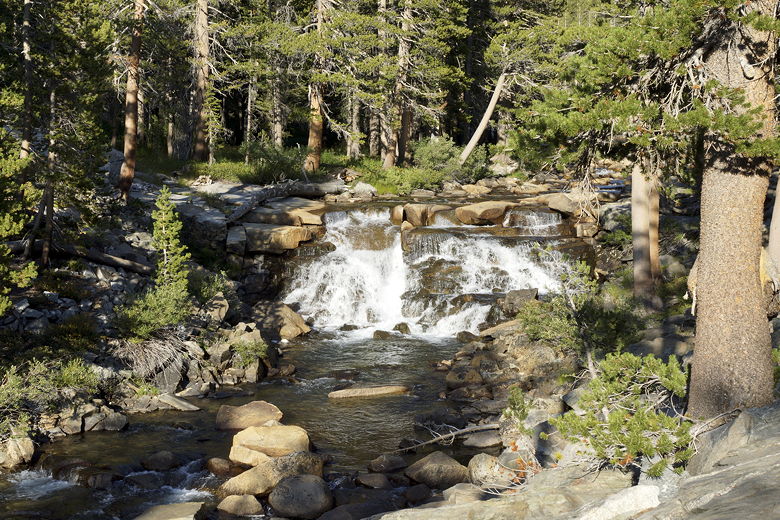
Piute Creek at Hutchinson Meadow
Piute Creek at Hutchinson Meadow
Piute Creek at Hutchinson Meadow
It warmed up quickly in the morning, though. After breakfast, we packed
up and were off on the trail at 10:15am. The trail continues to descend,
still roughly parallel to Piute Creek. We soon passed the intersection
for Pine Creek Pass (to the right).
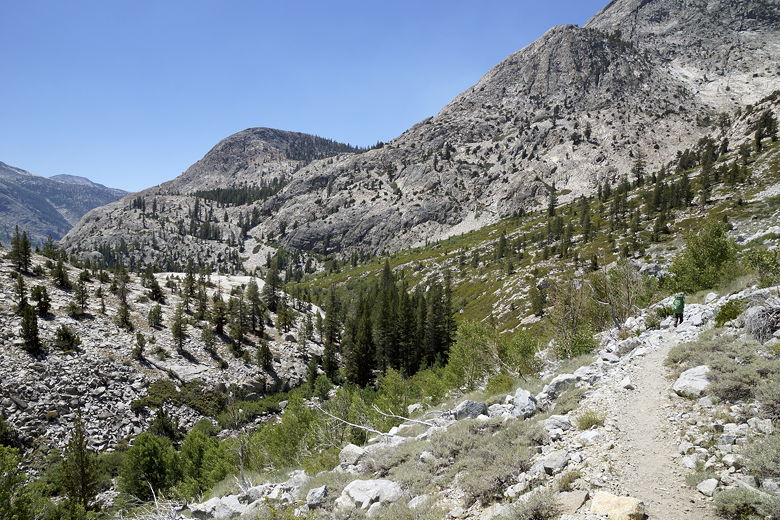
Leaving Hutchinson Meadow
We braced ourselves for up to 12 creek crossings. I knew Evolution Creek
would probably be the hardest. I've read that in years past, the water
can reach chest high. Having read that, I had done a little more research
and was heartened to hear someone had done the hike on July 3rd and found
the water to be knee-deep. Since it was more than 6 weeks later, I figured
it would probably be even less than that. Still, creek crossings are
creek crossings and you never know what you're going to get.
We reached the first crossing, an easy rock hop across. After a short
break, we continued on the trail. The descent was very gradual at this
point. The next stream crossing was completely dry. That was a sign of
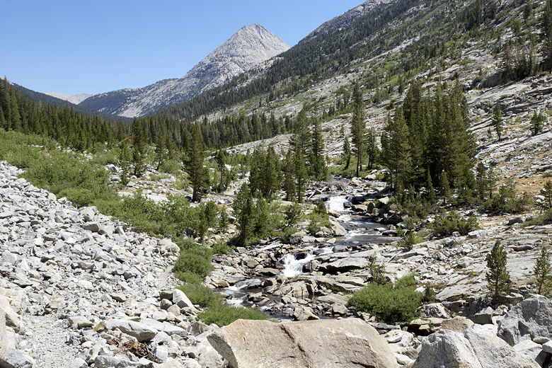
things to come. Soon after that we started to see cascades in Piute
Creek to our left. We took a break in the shade next to the creek.
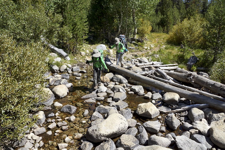
First of many stream crossings today
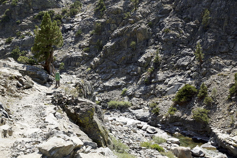
Mountains to south of trail
Mountains to south of trail
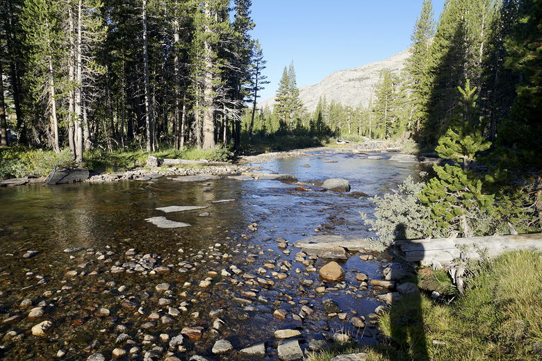
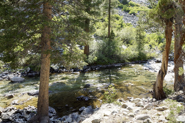
Piute Creek
Looking back toward the pass
Looking back toward the pass
Piute Creek
Piute Creek cascade
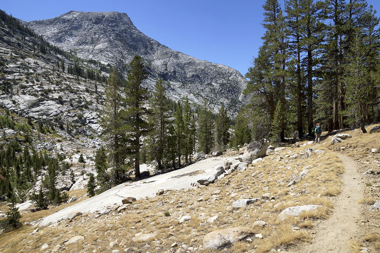
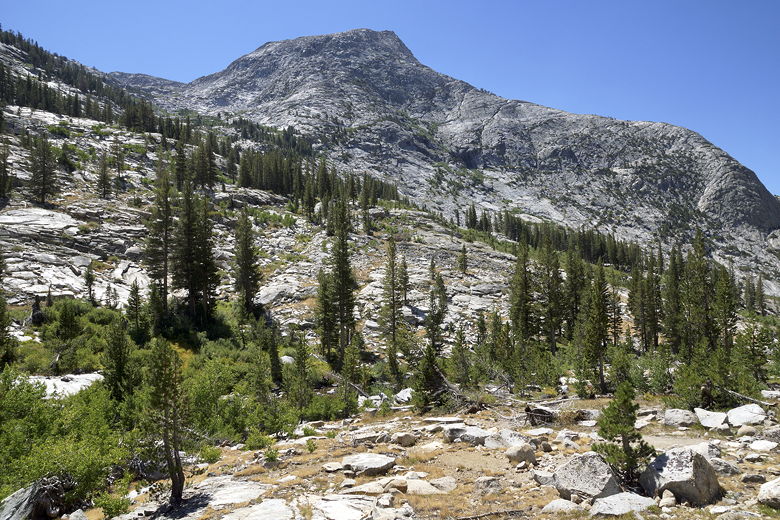
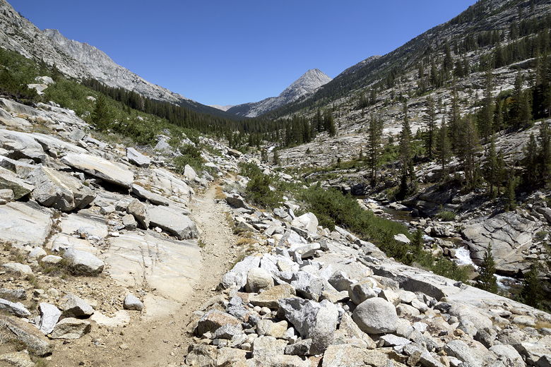
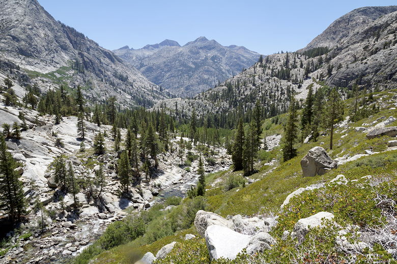
After the break, we continued our descent. The views soon opened up, with
views down to the creek far below, and across to the neighboring mountains.
The trail also started to descend more rapidly. Mixed in among the downhill,
however, was a few short uphill sections, as well. These sections were
not much, but when you're expecting to descend 1500 feet, every time you
go up it means you're in a sense getting further away from the
destination (or at least the destination elevation). Plus, the uphill sections
break up the downhill rhythm. To top it off, this whole section of trail was
very rocky, making the downhill sections especially tedious, and it was
hot (and unshaded). All in all,
possibly our least favorite section of trail on the trip.
Heading toward the steep descent (steep green slope)
Piute Creek
The trail started to switchback through the brush. We crossed two more
dry streams. After what seemed like an eternally long time, we made it down
to the bottom, stopping by the creek just in sight of the bridge leading to
the JMT (and the bridge we would soon pass over). I had originally hoped
to reach this section by around 1pm, but it was already 2:05pm. I was
beginning to think we might have to stop short of our goal of Evolution
Meadow today. We'd make that decision later.
Looking down at Piute Creek
We finished our break and finally got back on the trail around 2:40pm.
I did some rough calculations and estimated we might not get into camp
until about 7pm tonight. In any case, for now, we crossed the bridge
onto the JMT. There were several people here, milling about the
intersection. In fact, once we got onto the JMT section of trail, we
encountered a noticeable uptick in the number of hikers on the trail
compared to the Piute Pass trail.
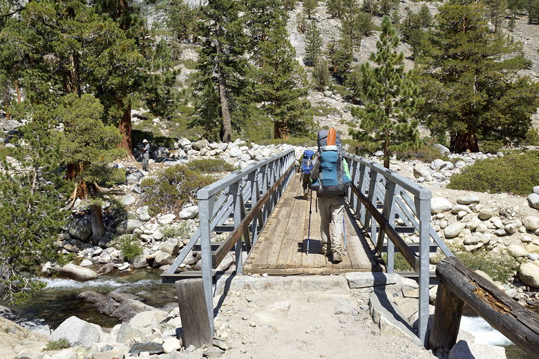
Crossing the bridge over Piute Creek onto the JMT
This next section of trail, roughly parallel to the South Fork of the
San Joaquin River, was much easier. It was relatively flat - slightly
uphill, but barely noticeable (we'd gain about 400 feet in the next
3.5 miles). We did a few more stream crossings, only one of which I
think had any water (and it was an easy rock hop).
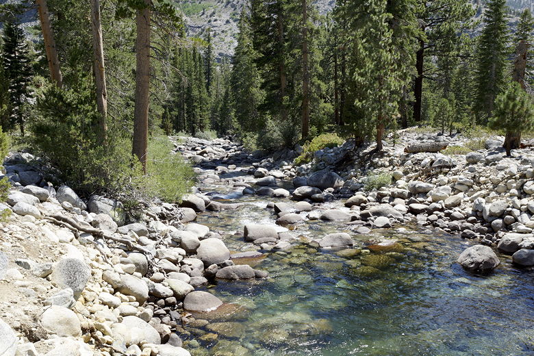
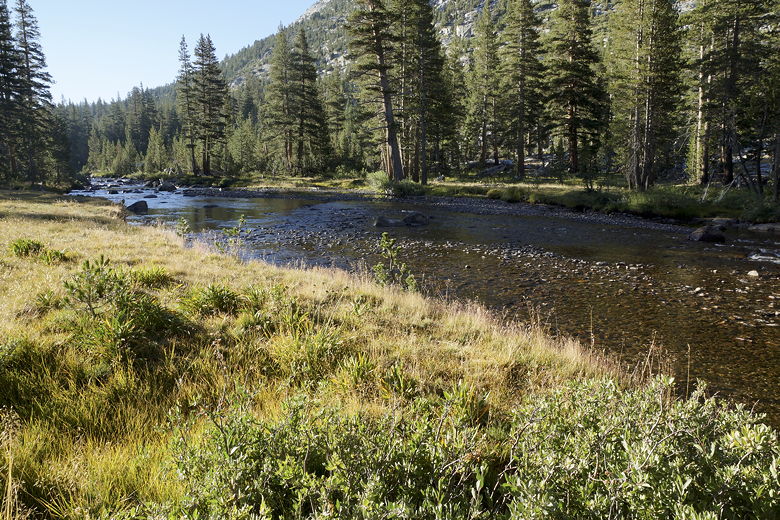
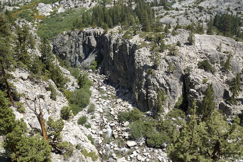
South Fork of the San Joaquin River
Cliff above the river
We passed some hikers coming in the opposite direction. I asked them
about the Evolution Creek crossing, and they said they basically got their
ankles wet. So that made me feel better about the crossing. We crossed a
bridge over the river, then noticed a solo backpacker camped near the trail.
I think this may have been the camp that a guy at the trailhead had
mentioned to me. But it was already occupied, and we weren't close to
our destination for the day yet. We were making good time and I was
beginning think maybe we could make it to Evolution Meadow today.
South Fork of the San Joaquin River
South Fork of the San Joaquin River
South Fork of the San Joaquin River
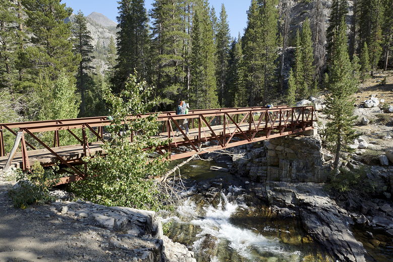
Bridge over the river
We reached the trail intersection and the end of the easy part of the trail,
around 5:10pm. We had a decision to make now. There were several groups
camping in the area. We could find a campsite in the area, but that would
add 700 feet of climbing to the 1700 feet we already had to do the next day.
We discussed it briefly, but everyone agreed that they preferred to just
do the tough part today and get into camp later.
So we kept going. Five minutes later, we started up the steep switchbacks.
This section of trail was tough not only because of the steepness, but
because the trail is exposed to the sun. It was still hot, even at this
late hour, and I had run out of water. I had had the presence of mind
to anticipate this, and had filtered more water to put in a water bottle,
but it was hard for me to drink from the bottle without someone getting it
for me from my side pouch (I usually drink from a Camelbak while backpacking).
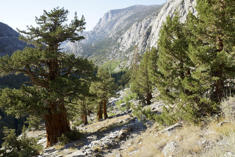
View from the steep climb up to Evolution Meadow
Still, we made good time heading up, stopping only briefly to drink.
About halfway up, we ran into a ranger running down the hill. I kept
expecting him to ask us for our permit, but he never did. Maybe he
could tell we were tired and anxious to get to our campsite.
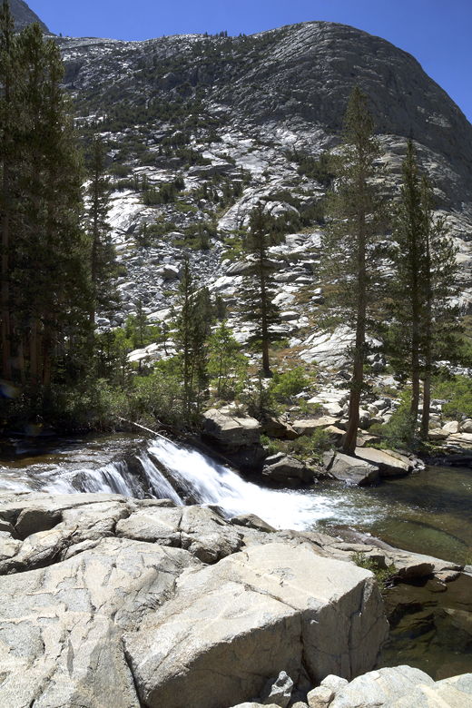
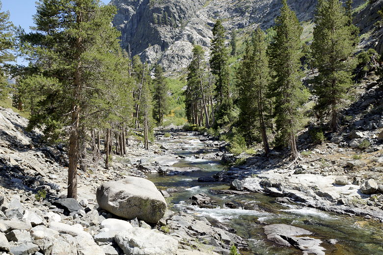
As we climbed higher, we had a nice view of Evolution Creek, tumbling down
in a cascade. Soon after that, we reached the Evolution Creek crossing
at about 6:30pm. There were two people camping right near the water's
edge on the side we were on. We put on our water shoes and crossed the
water. I made several trips back and forth without my pack, assisting
the rest of my family just to make sure they were ok, but the water was
really only about a foot deep. We were fortunate that it had been a dry
winter. Otherwise, it would have been a much more difficult crossing.
Evolution Creek cascade
Creek crossing of Evolution Creek
By 6:45pm, we were done with the crossing. Now it was time to start looking
for a campsite. We soon saw a nice-looking campsite, but it was already
occupied. The next one was occupied, as well. We kept going, but the next
area said the area was undergoing restoration and wasn't available for camping.
Around this time we had glimpses of Evolution Meadow through the trees, and
we even saw a family of deer in the meadow. It was a pretty sight, but we
didn't have time to stop for pictures.
Getting frustrated, we kept going, finding what looked to be a perfect campsite,
with ample space for tents and a campfire ring to boot. We put down our packs,
hopeful. But then I went out toward the meadow and checked the stream -
completely dry. We could still get to water, but it would be a very long
walk away.
By this time, our youngest was having a meltdown, and I was getting worried
that we wouldn't find a suitable campsite by dark. I was worried we'd have
to double back and find something closer to the people we'd passed. It was
now past 7pm, and the sun would set around 7:45pm. I looked at the GPS and
saw that the trail would get close to the water again soon. While everyone
else waited, I dumped my pack and ran up the trail, in search of a campsite.
I could hear the water to my right, but couldn't find any decent site.
I was ready to give up. In fact, I turned around to head back with the
bad news. But then I saw the perfect campsite on my left. I hadn't
noticed it on the right coming up, but it was clearly visible from this
direction. A large flat area, a campfire ring (not that we would use it),
and within audible distance of the water.
I ran back to my family to give them the good news. Then we walked to the
campsite, getting there still a bit before sunset. The water turned out to
be pretty close. The site was actually next to the dry streambed, but it was an
easy walk of less than a minute to the active stream. Elated, we set up
camp, had dinner, and went to sleep.
| 

