|
It was a little windy at night, but not too bad. Our worst fears about
having a somewhat exposed camp site were not realized. I woke up around
6:40am, knowing this would be arguably our hardest day - over 12 miles,
including a climb up and over Muir Pass.
Knowing this, we tried to get an early start. In fact we did get the earliest
start of the trip by far so far, leaving camp around 9:20am. But in fact as far as I
could tell, everyone else had cleared out of the area by 8:15am. I suspect
a lot of folks don't cook anything for breakfast, and not having kids helps
a lot in getting ready quicker.
It was a bit overcast in the morning. I was hoping it would burn off, but
it lingered for a while. I started to worry that we'd have a thunderstorm
later in the day, and I hoped to be over the pass by then.
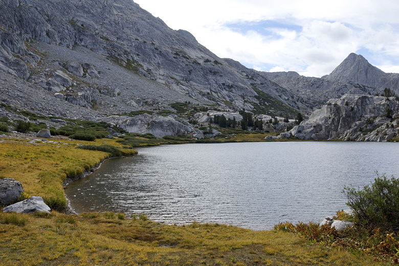
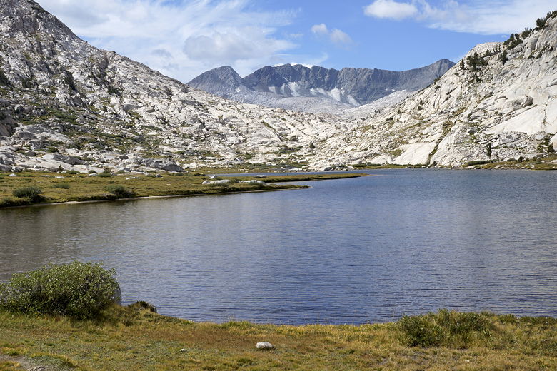
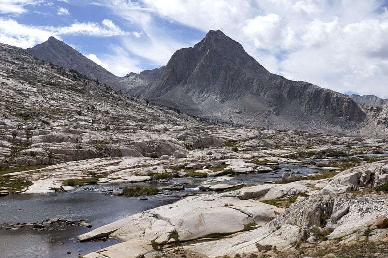
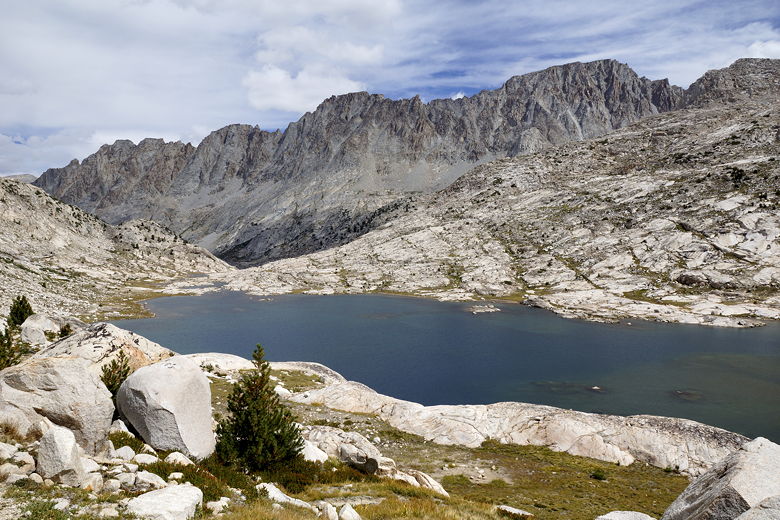
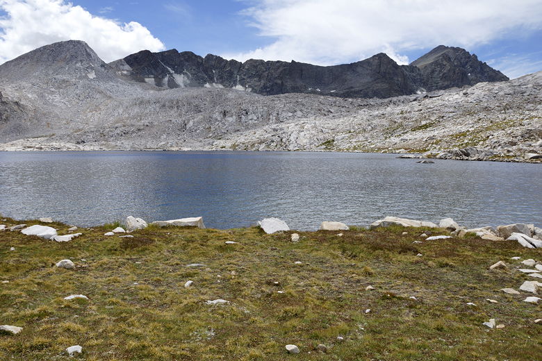
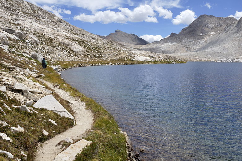
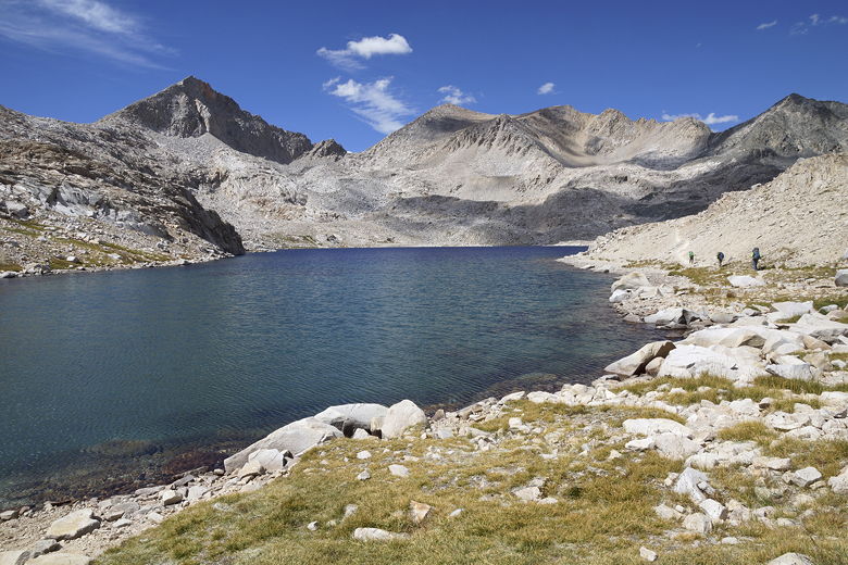
Evolution Lake
Evolution Lake
In the meantime, though, we enjoyed some wonderful views of the rest of
Evolution Lake. It's actually quite a long lake, looping around a peninsula.
The trail goes along the eastern shore of the lake. Oh, before I forget I
should mention that I didn't actually take any pictures of the Evolution
Lake outlet stream waterfall. I had just been too tired and pre-occupied with
finding a campsite yesterday afternoon, and it was too far of a detour to take
pictures of this morning. I'll have to check it out next time we're here.
Long (southern) section of Evolution Lake
On the trail next to Evolution Lake
We passed a few hikers in the opposite direction, who said they'd camped
at Sapphire Lake the previous night. We had originally planned to camp at
Sapphire Lake, but after viewing pictures on the web and seeing how
desolate it was, we'd decided to stay at Evolution Lake instead. You're
pretty much above tree line here, and above Evolution Lake trees get
even scarcer.
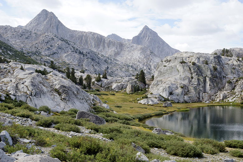
Mt. Goddard behind Evolution Lake
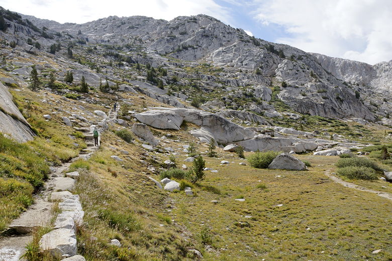
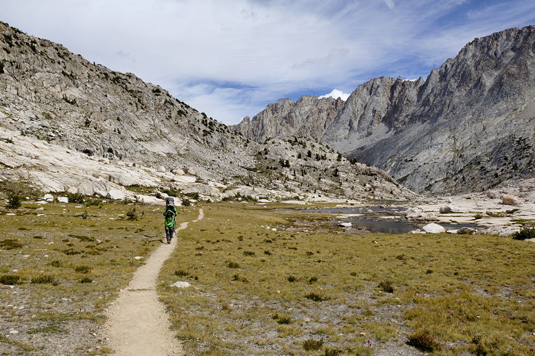
On the trail above Evolution Lake
The trail goes up and down a bit as it follows the shore of Evolution Lake.
Reaching the far (southern) end of the lake, we crossed the inlet stream
on a series of large rocks intentionally embedded in the stream for
crossing. From here, the trail starts a gradual climb past a series of lakes
up to the pass.
Looking back at Evolution Lake from near the inlet stream
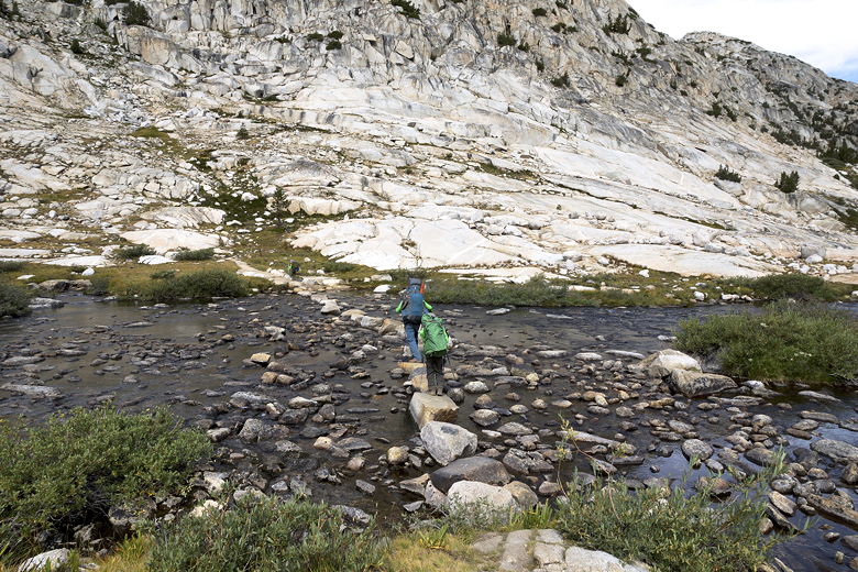
Crossing the Evolution Lake inlet stream
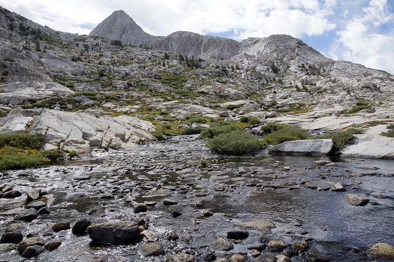
Evolution Lake inlet stream
We spied a marmot scrambling about near the ponds before Sapphire Lake.
We stopped for a break near one of the ponds. While we were there, a solo
backpacker passed us in the same direction. We'd see him again later.
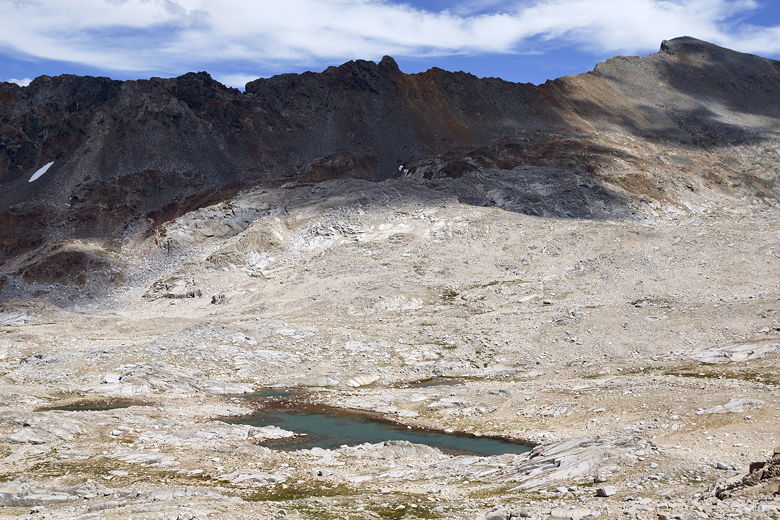
Pond between Evolution Lake and Sapphire Lake
Clouds over Evolution Basin
Pond between Evolution Lake and Sapphire Lake

Can't tell from this picture, but there's a marmot down there
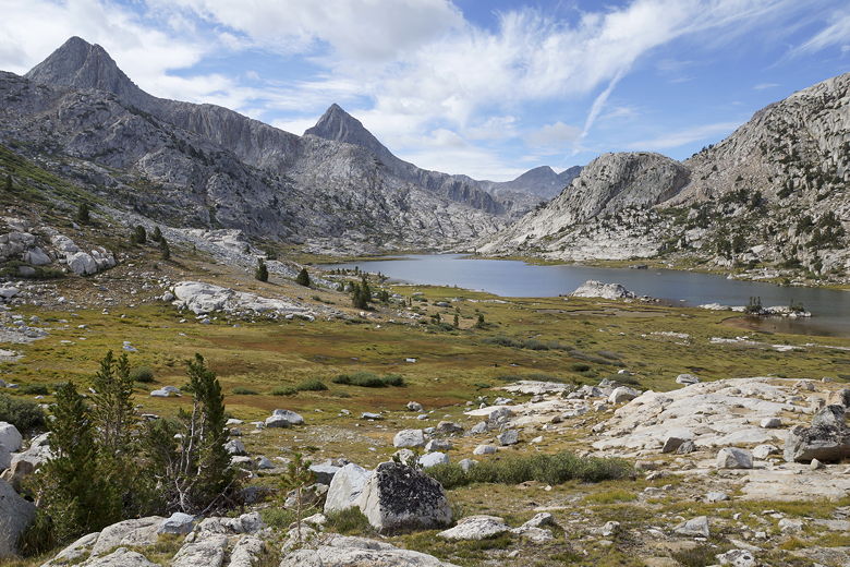
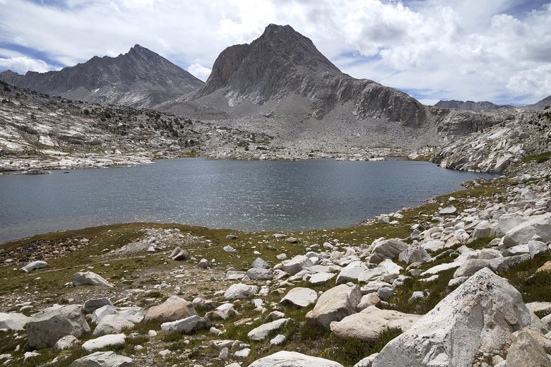
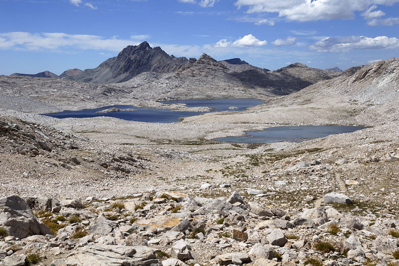
Evolution Basin
On the trail to Sapphire Lake
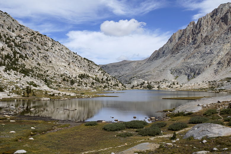
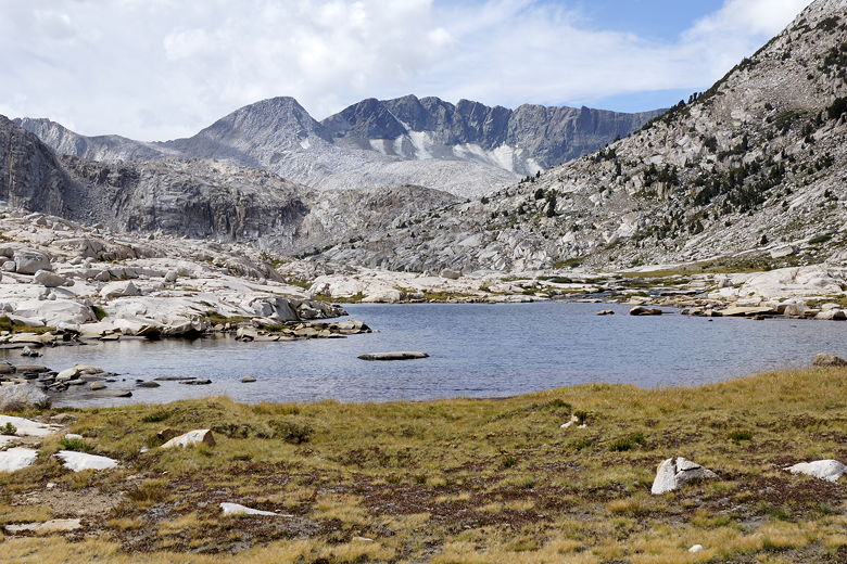
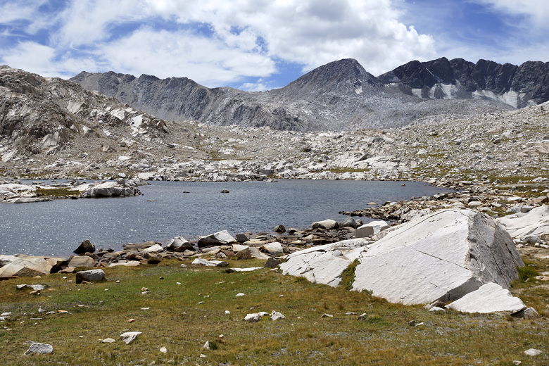
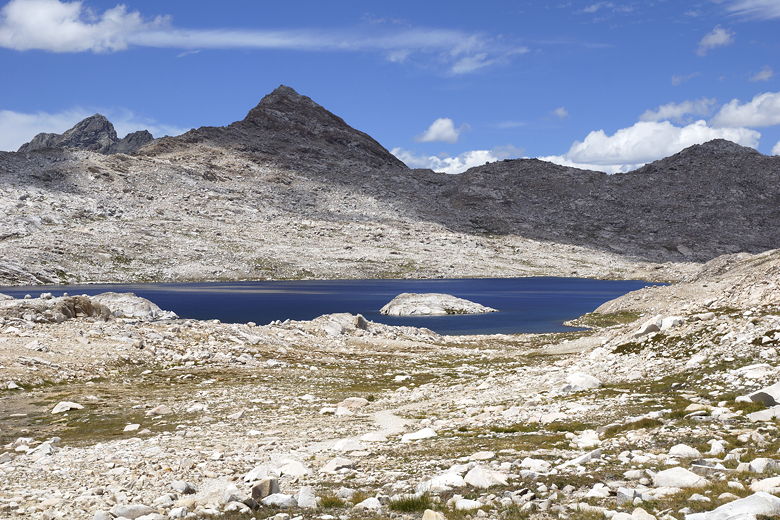
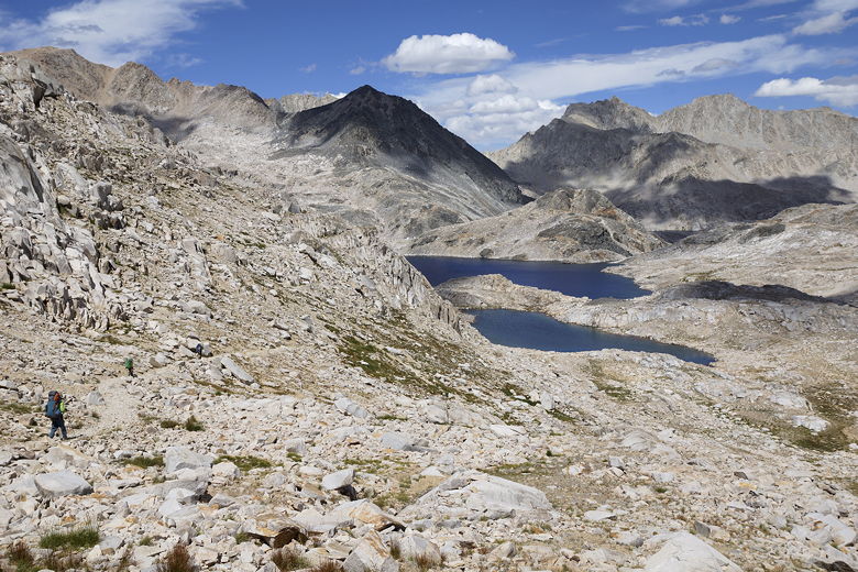
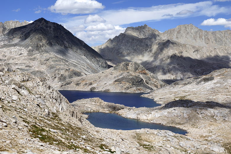
We passed by Sapphire Lake, marveling at the continuing wonderful views
of the lakes and surrounding peaks. The only thing that worried me was
the sight of clouds over some of those peaks. We stopped again for a
short break near the unnamed lake at 11,293 feet elevation (before
Wanda Lake). Our intent was to have one more break, at Lake
McDermand, before the final climb to the pass.
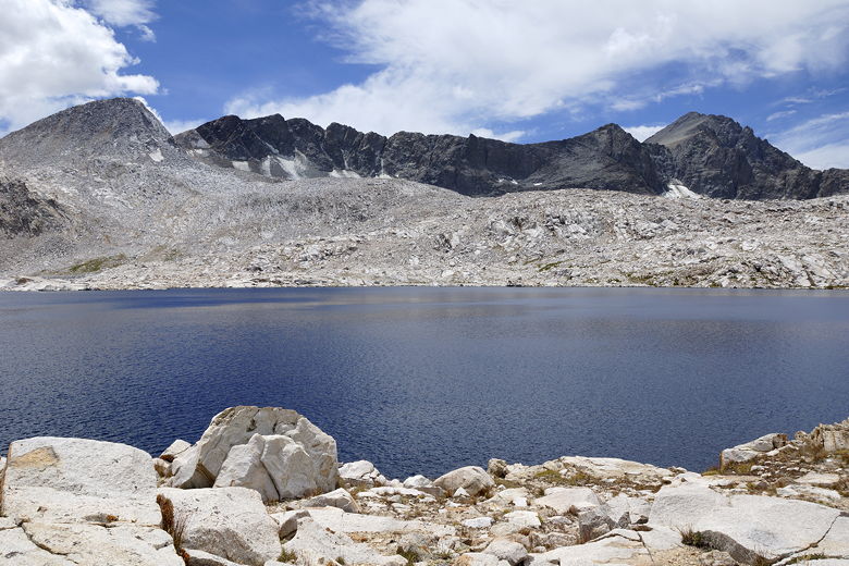
Sapphire Lake
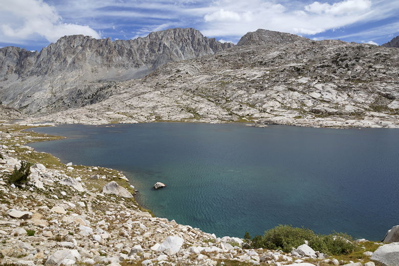
Sapphire Lake
Sapphire Lake
On the trail toward Wanda Lake
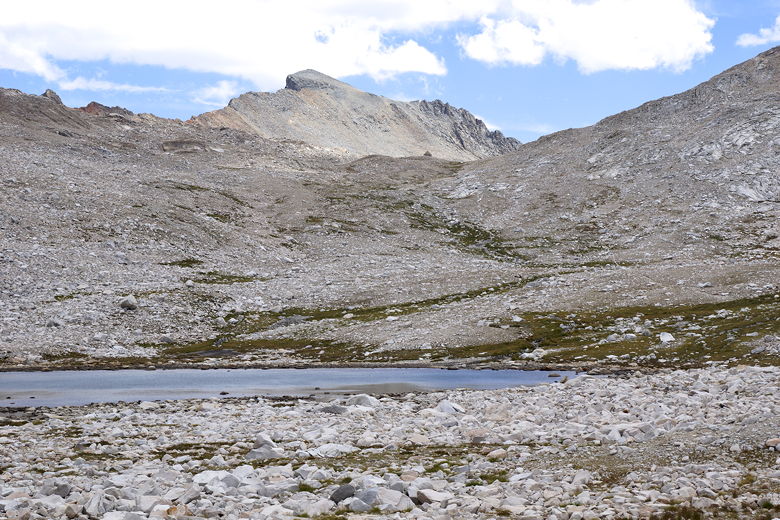
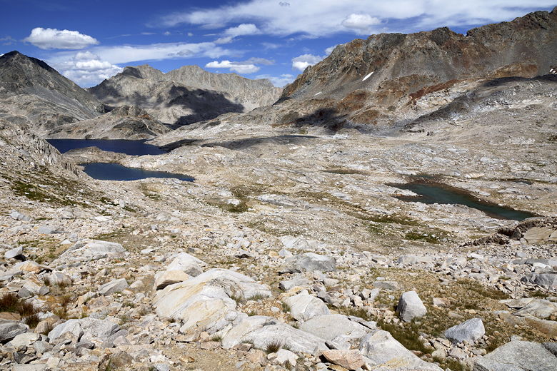
Pond at elevation 11,293 feet
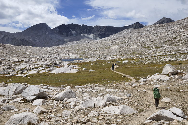
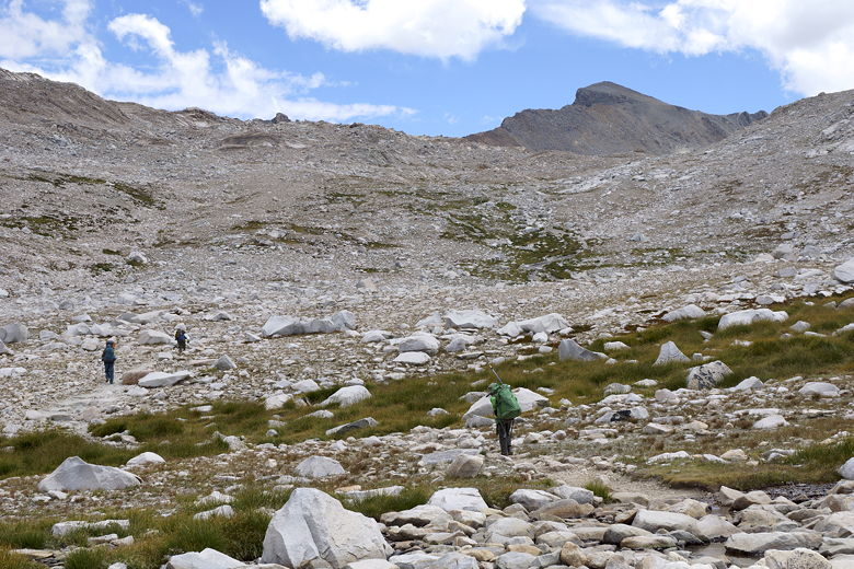
After our break, we continued on toward Wanda Lake. We finally passed
some people who had come over Muir Pass from the opposite direction around
12:15pm. There aren't many camp sites available close to the pass on the
other side, so it's a fairly long haul up and over the pass, so I wasn't
surprised it had taken this long. I suspected we'd start seeing more
folks soon.
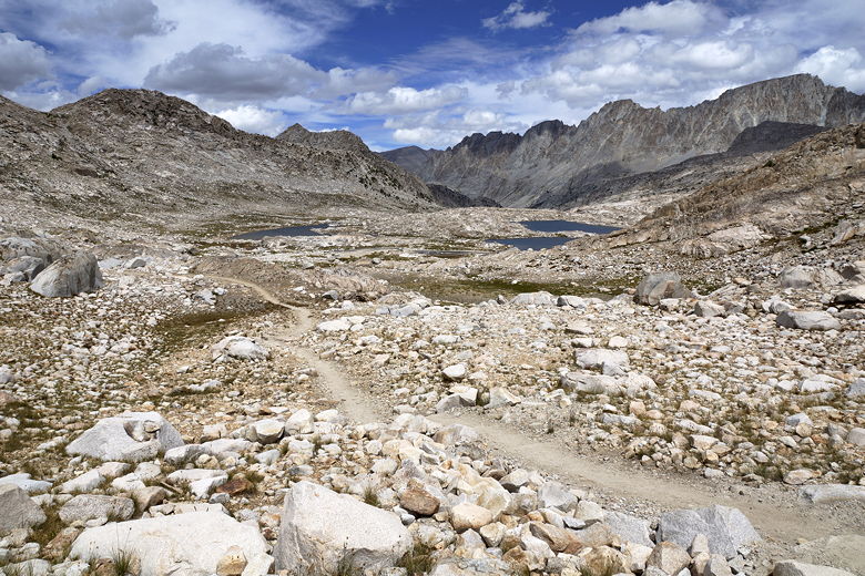
Looking back at the lake at elevation 11,293 feet
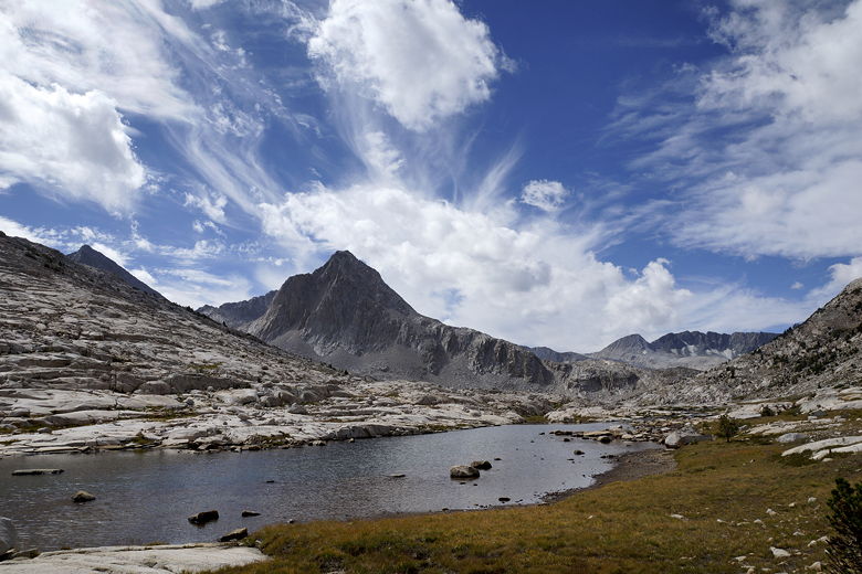
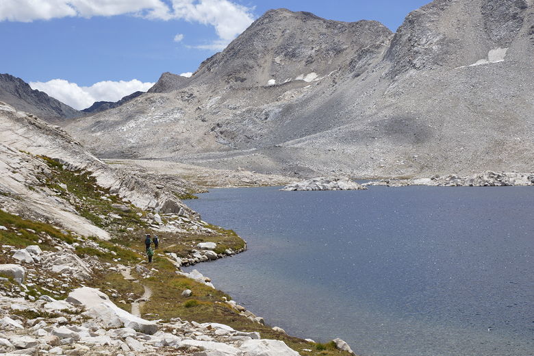
The trail near Wanda Lake is beautiful. It's the largest lake in the area,
with Mt. Goddard looming above it to the southwest (sadly,
the glaciers on
its slopes looked like they were almost completely gone).
What's beautiful about
the trail is that it's right next to the rocky lake shore. We saw
frogs jumping around here, and I took a picture of one sunning itself right
on a rock in the lake. The kids got a kick out of seeing the frogs.
Mt. Goddard over Wanda Lake
Mt. Goddard over Wanda Lake
Trail next to Wanda Lake
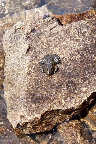
Frog at Wanda Lake
Trail next to Wanda Lake
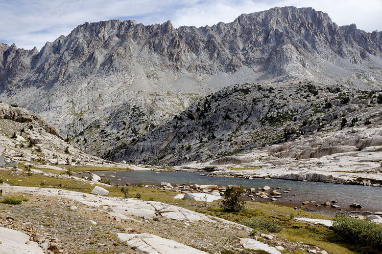
After we left Wanda Lake behind, we approached Lake McDermand. As we
did so, I looked up and noticed a triangle high up on the mountains in
front of us. I realized that this was the top of the hut on top of Muir
Pass. I pointed it out to the kids. They immediately decided that they
didn't want to stop at Lake McDermand anymore. They wanted to go all the
way to the pass so they could go inside the hut! It was like a carrot
dangling in front of them.
Looking back at Wanda Lake
Muir Hut is barely visible at the top of the pass
The hut looks deceptively close. Several times I got the feeling that it
wasn't actually getting any closer. This last set of switchbacks up to the
pass only climbs about 400 feet, but it seemed much more. At times the hut
actually disappears from view behind a false summit. Eventually we made it
up to the top, where we found a dozen or more other people taking a break,
including the guy who had passed us near Sapphire Lake.
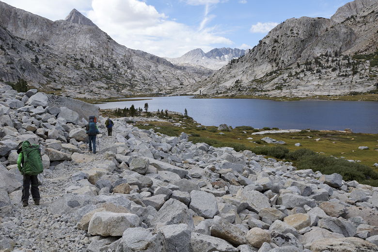
Heading toward Muir Pass
Looking back at Lake McDermand and Wanda Lake
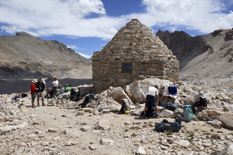
Muir Hut
The hut itself is open, but is meant to be used as a temporary shelter to
be used in case of thunderstorms. It was built the the Sierra Club back
in 1930. It is actually quite cold and
dark inside. It looks like there used to be a fireplace, but it's been
filled with stone.
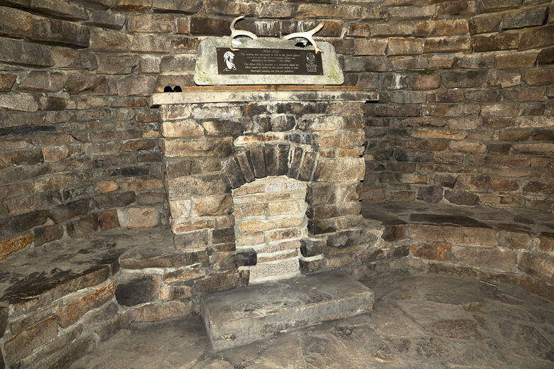
Inside Muir Hut
We enjoyed the views of the surrounding peaks and the lakes below.
We talked to some of the people at the pass. One of them described a
camp site near Big Pete Meadow where someone had laid out rocks on a
large rock to look like shark teeth. Our kids sounded like they
really wanted to stay in that site.
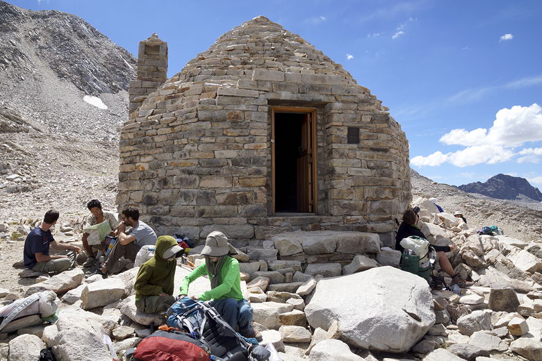
Front of Muir Hut
We reached the pass around 2pm, and left around 2:30pm, just as a few hikers
ditched their packs in the hut and apparently started an assault on nearby
Mt. Solomons (almost 1100 feet higher than the pass). We extended our
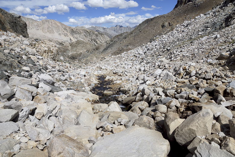
trekking poles and started off on the steep rocky descent to Helen Lake.
It's a stark, desolate landscape with just rocks, water, and some
scattered grasses. As we approached the Helen Lake outlet stream, the man
who'd passed us near Sapphire Lake passed us again.
View on the other side of Muir Pass
Descending toward Helen Lake
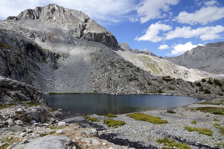
Helen Lake
Helen Lake and Black Divide mountains (right)
Helen Lake
We crossed the outlet stream over some large rocks. In fact, rocks covered
the entire outlet stream at the crossing to the point where we could only
hear the water beneath us, not see it. We could also see the water
further downstream. It was a neat experience. Once we got to the other
side, though, we were a bit confused. I was confused because I could see a
clear trail on the other side of the stream (the side we'd just been on),
heading downstream. It wasn't at all obvious that we were on the right
trail and that other trail was something else. I double checked the paper
trail map I had, as well as the GPS, and concluded that we were still on the
correct side.
Helen Lake outlet stream
The trail descends steeply through a narrow channel. At the bottom of the
steep descent, we saw a section of the stream filled with algae. A little
beyond that, we saw pink snow. Around this time Jean said it felt like we
were on another planet. And it kind of did.
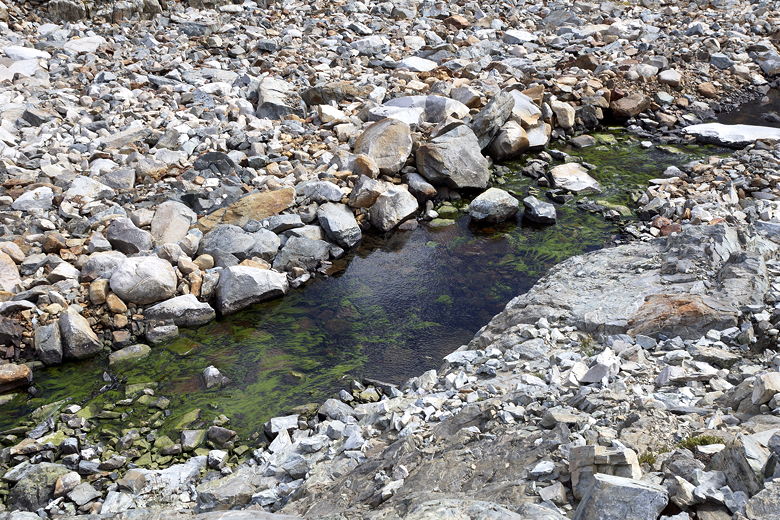
Algae in Helen Lake outlet stream
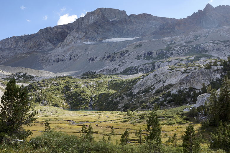
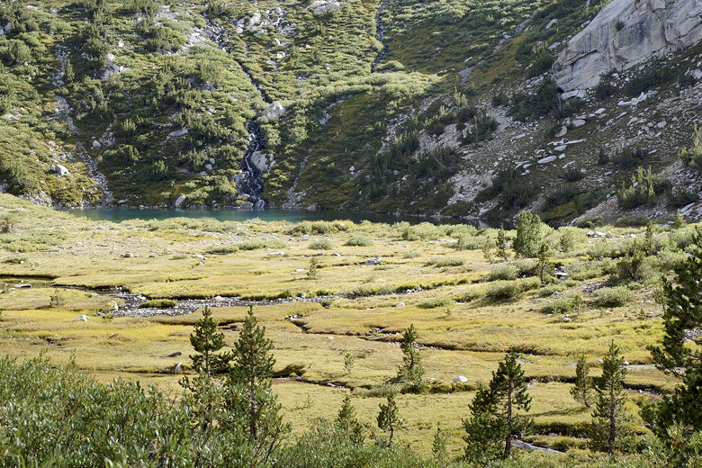
We continued downhill, soon reaching a small unnamed lake where we stopped for
a break. Just as we were finishing our break, a couple of hikers caught up
to us. We hiked somewhat together for a short time, but Jared (who was in the
lead), almost immediately led us off the trail. It took the 6 of us a couple
minutes to figure out that the trail crossed the outlet stream of the small
lake. We all picked up the trail from there.
First small lake below Helen Lake
The trail now descends to a somewhat larger unnamed lake. There weren't really
many camp sites visible near these lakes, but I did see one just off the trail,
perched high above this lake we were now approaching. As we continued to
descend, the vegetation returned. Grasses and bushes grew thicker, and we
started to see trees again.
Looking back at stream
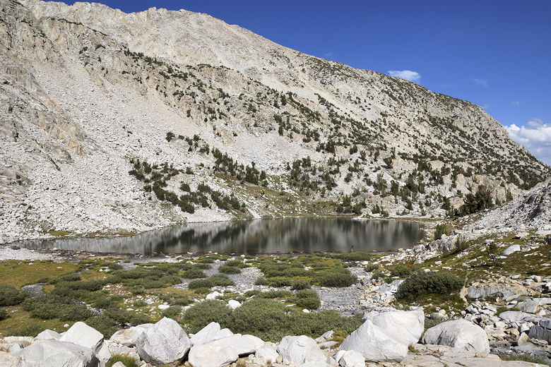
Second small lake below Helen Lake
Ahead of us, we saw a man talking to the two hikers who'd caught up to us (and
were now slightly ahead of us). I surmised that it was probably a ranger, and
that was confirmed when we reached the east end of the lake where he was.
We talked for a few minutes. He commented that he had seen a lot more kids aged
7-14 on the trail than he had in years past. He said a 7 year old was doing
the JMT, and a 9 year old was doing the entire PCT! I asked if he wanted to see
our permit, but he said that wasn't necessary (and he sympathized with the
difficulty of taking off a big pack and putting it back on, which I appreciated).
He just asked us a few simple questions and let us go on our way.
We now had about 3 miles to go to reach Big Pete Meadow, our planned destination
for today. Our descent suddenly passed through a very lush landscape. We saw
another frog jumping in a nearby stream. Grasses were thick, and we soon passed
what I'm guessing was Starr Camp. We passed a group coming up the opposite
direction with two horses - one with a (I'm guessing) 5 year old girl on it, the
other with supplies.
Meadow near Starr Camp
Meadow near Starr Camp
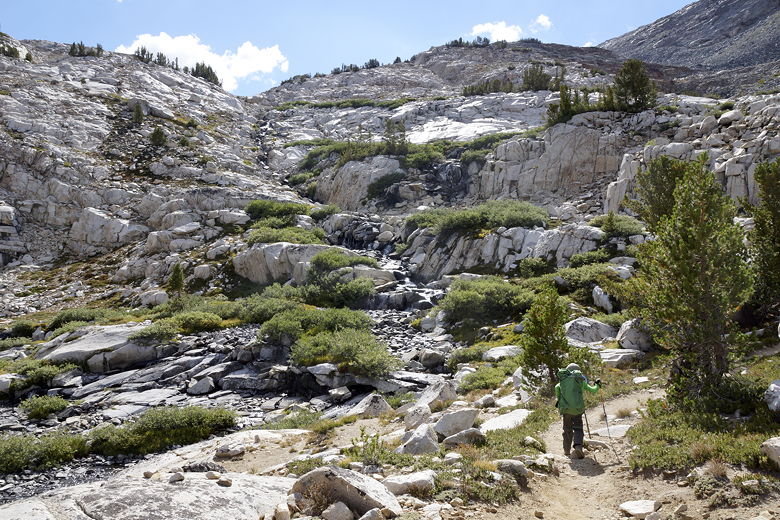
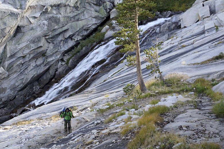
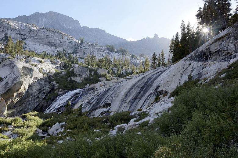
We continued the descent, now next to a creek tumbling down in a series of cascades
and waterfalls. The trail turns into a series of switchbacks, with awesome views
of LeConte Canyon. At the bottom of this switchbacked descent, we found...a rock
shark! Or rather, the campsite that the man at Muir Pass had mentioned, with a rock
decorated to look like a shark. Nathan really wanted to stay at the site, but we
weren't sure if our tent would fit, the site was quite close to the trail, and we
hadn't yet reached Big Pete Meadow. Despite his pleas, we decided to keep going.
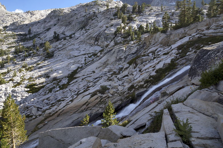
Cascade
Cascade

LeConte Canyon
Looking back at a cascade
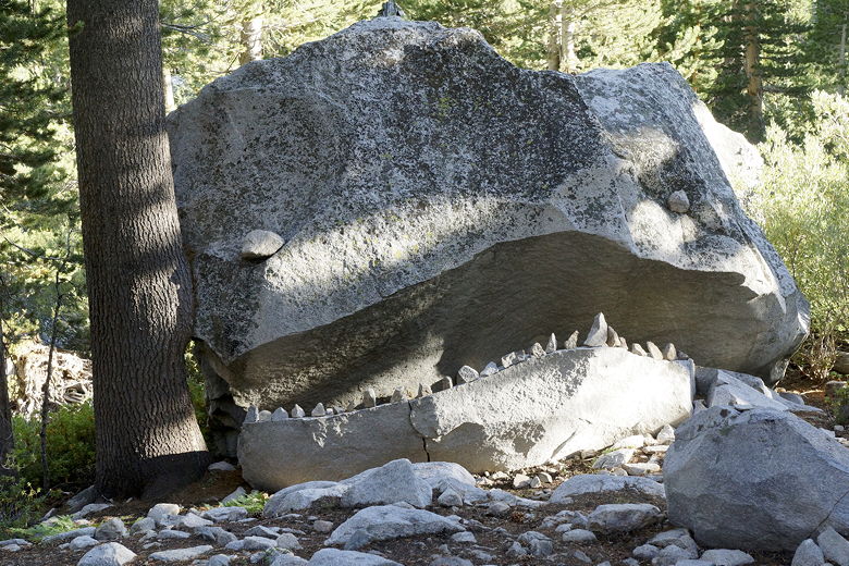
Shark camp
In the end, we didn't actually quite make it to Big Pete Meadow. About 10 minutes
down the trail, we stopped near what looked to be some decent-looking sites, although
they were a bit far from water. I went off the trail into the forest toward the water
and eventually found the perfect site for us, well away from the trail, but still
within a short walk from the water.
We put down our packs after a long day of hiking, having reached the site around 6:30pm.
We walked down to the creek to get some water and were surprised by two things: the
sight of a deer right in our path, and the sight of a pair of backpackers camped near
the water. I thought we were all alone here. We maneuvered ourselves around the deer
to get some water, then returned to camp to find...another deer, this one a buck. It
stayed just outside our camp, eating dinner. I know we see deer frequently in our
neighborhood back home, but it's somehow more special when the deer come to you in the
wilderness.
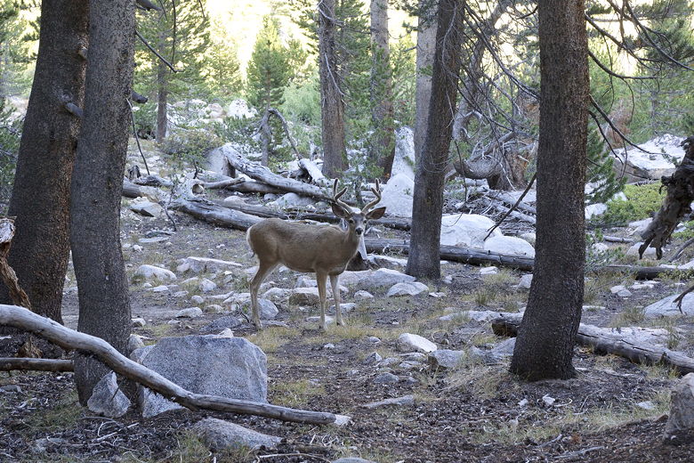
Deer at our campsite
The deer eventually went away. After dinner, we went to sleep with the sound of rushing
water near us.
| 

