North Lake to South Lake |
Day 7 of 7
It was a little windy at night, but nothing to really keep us awake.
The skies stayed clear and our worst fears about rain were not
realized. We woke up around 6:30am and quickly started to
dismantle our camp and get our breakfast ready.
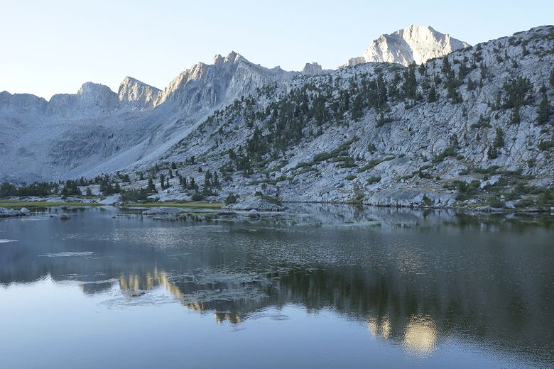
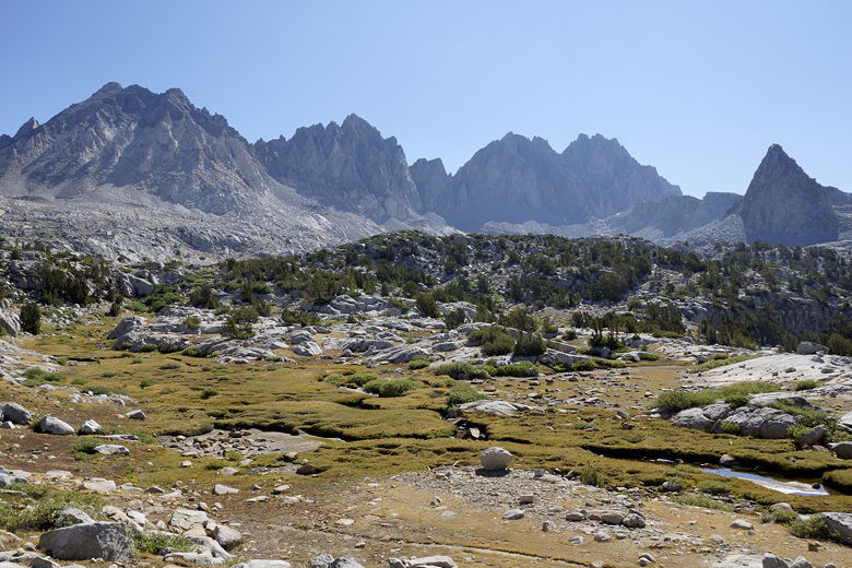
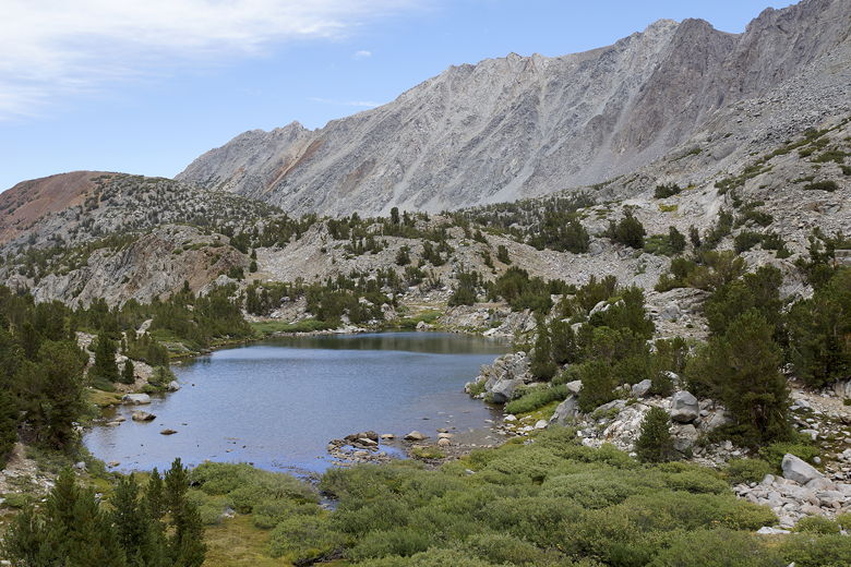
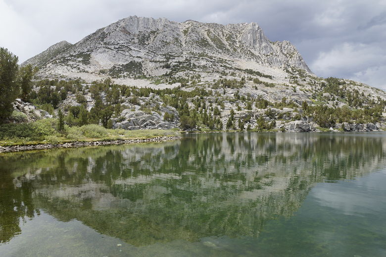
Lower Dusy Basin lake Dusy Basin morning
It still took us a while to get ready, as it always does, but we
managed to leave camp at 8:58am, the earliest on the trip. The
trail is relatively flat for nearly half a mile as it skirts the
northern edge of the lake and then leaves it behind.
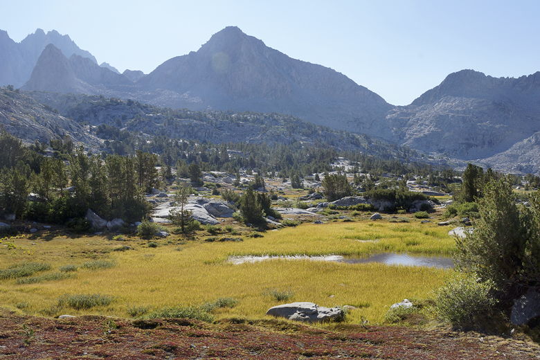
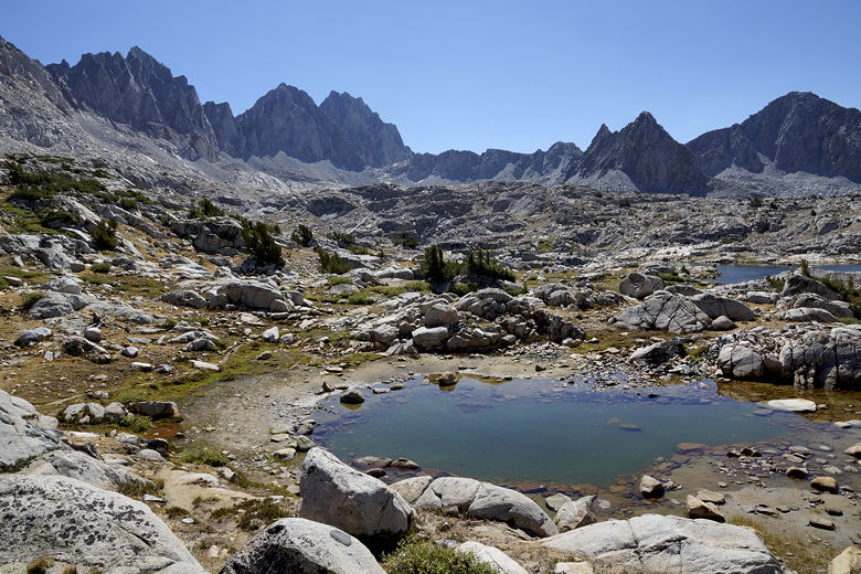
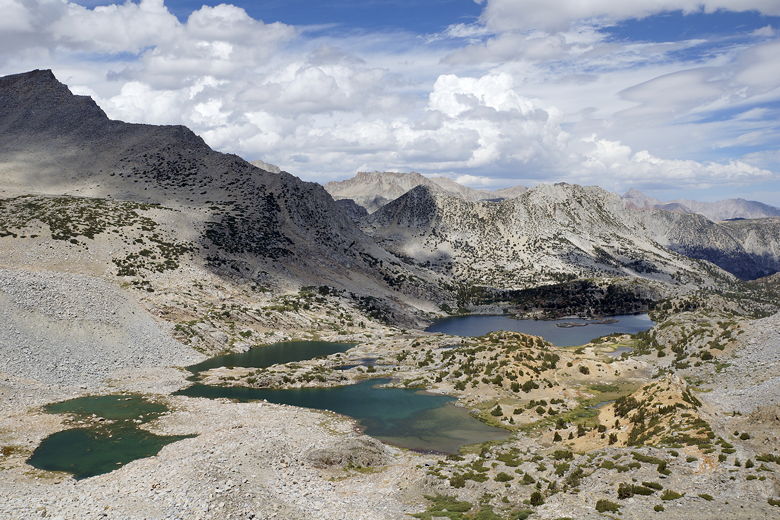
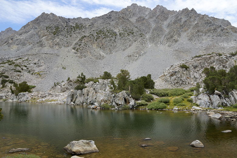
Dusy Basin Dusy Basin Dusy Basin
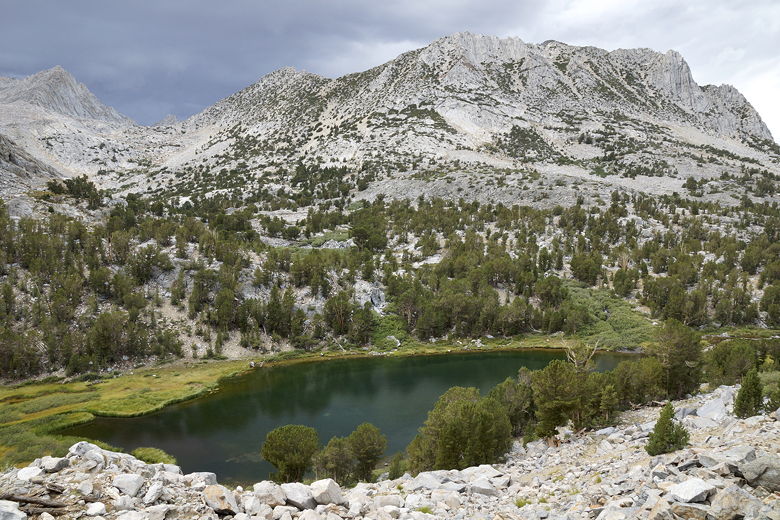
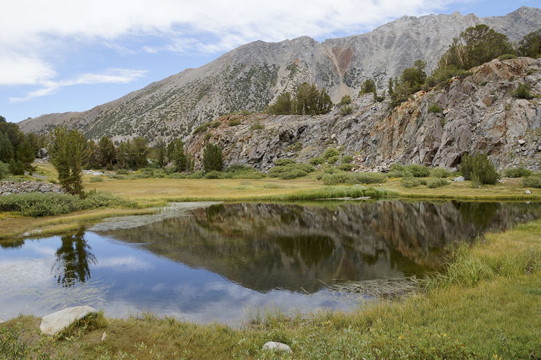
It was quite warm now as we climbed. A bit less than 2 miles from
today's start, we stopped at 10:15am at a viewpoint of the upper
lake. The lake is rather far from the trail, and doesn't look
nearly as pretty as the lake we had camped at. I'm happy with our
choice.
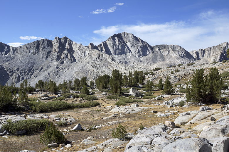
Pond and upper Dusy Basin Lake (back right)
Sunday, August 18th
Dusy Basin to South Lake
8.7 miles
1330 vertical feet (ascent)
2210 vertical feet (descent)
6:37
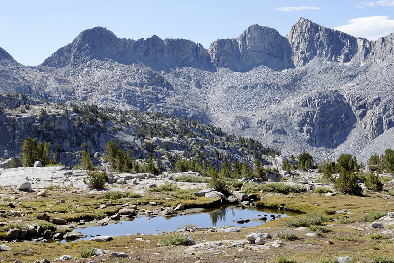

Panoramic view of Dusy Basin
While we were on our break, a man stopped and talked to us for a
few minutes. He said he had spread the ashes of his friend of
40 years near McGee Lakes (near Evolution Basin). After having
visited the general area, I can see why someone would make that request.
Dusy Basin mountains
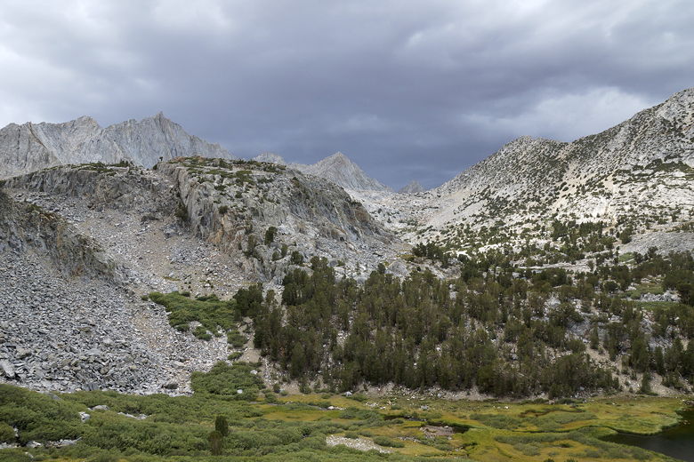
Though the sky was still mostly clear, we could see clouds starting
to form near the pass. So after a 30 minute break, we were back on
the trail. The trail keeps climbing, but the views don't get
appreciably better. By 11:40am, we reached the top of Bishop Pass.
The top is relatively large and flat; there is no great view from
here.
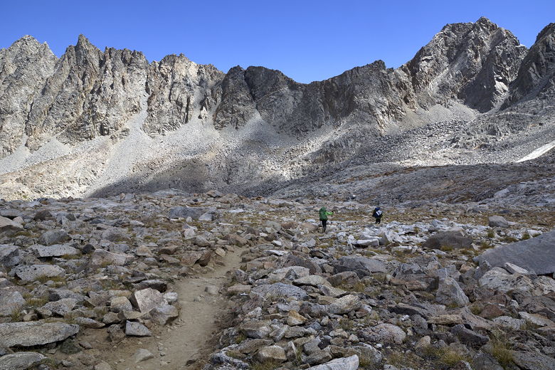
Since there wasn't much to see, and we were feeling pretty good, we pretty
much just kept going over the top of the pass. Soon we had a great view
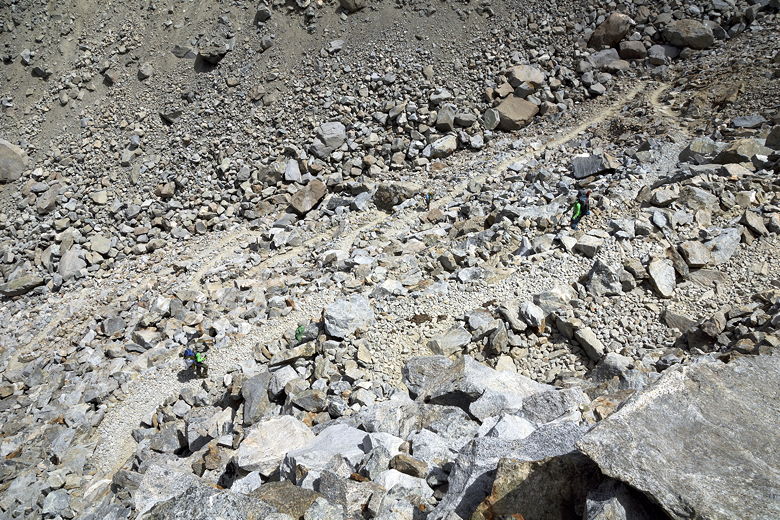
of Bishop Lake far below. Then we started a very
steep downhill. This side of the pass is pretty incredible - it's a huge
talus field, and it's somewhat amazing that anyone decided to build a trail
here at all. The switchbacks are practically right on top of each other.
Heading over the top of Bishop Pass Looking down on Bishop Lake Descending the Bishop Pass switchbacks
We met a man coming up toward the pass. He said he was starting a trip of
50+ miles, and 5 passes, heading out to Kearsarge Pass. He was followed
a little further behind by his three teenage kids (one boy and two girls).
I was impressed that he was keeping ahead of him. By this time, our kids
were kicking our behinds, far down the trail in front of us.
As we descended, the clouds rapidly grew more threatening. By the time
we reached Bishop Lake, it was evident that it was going to rain somewhere
soon; it was just a matter of time. We got our rain jackets and pack covers
ready, just in case. After a quick snack break, we left Bishop Lake around
12:30pm.
We started to notice some day hikers. Some even made it all the way up to
Bishop Pass (that makes for a long 12 mile day hike). Most didn't look like
they were prepared for the threat of rain. Around 1pm, the thunder and
lightning started. At least it was high up on the mountains for now,
just on the other side of Bishop Pass or perhaps Mt. Goode. We were still
dry for now, but we picked up the pace.
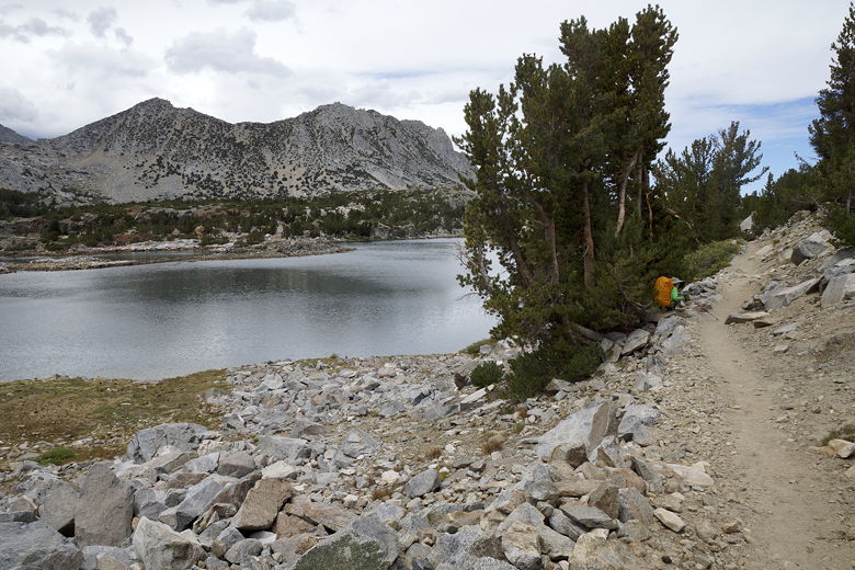
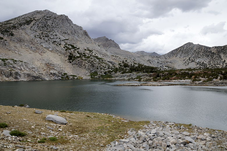
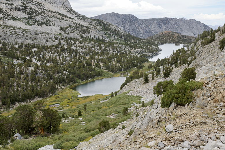
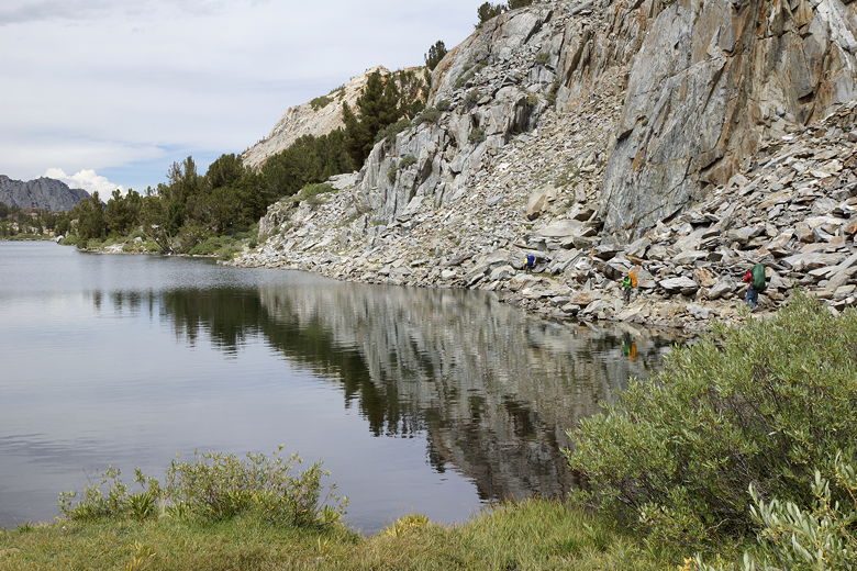
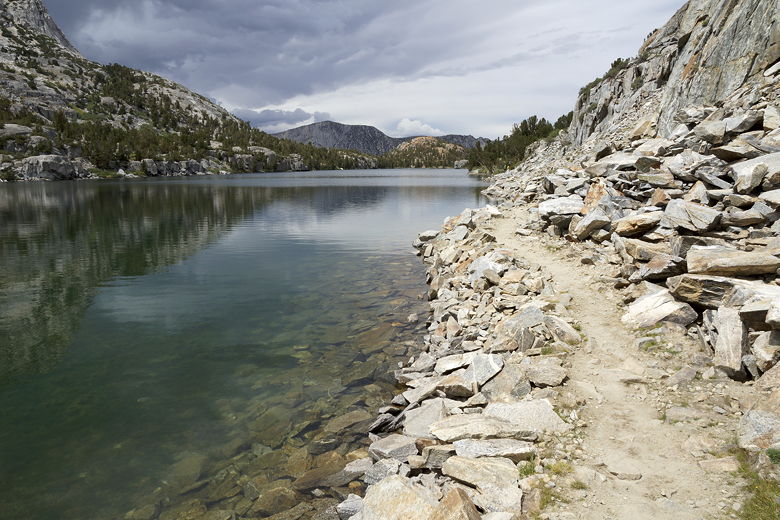
We hiked past Saddlerock Lake and Timberline Tarns. We continued to descend,
past Spearhead Lake. By the time we reached Long Lake, it looked like the
threat of rain had dissipated. The clouds were still there, but the thunder
had mostly stopped, and the clouds didn't look as threatening. We still saw
the sun once in a while, as well.
Saddlerock Lake Saddlerock Lake Timberline Tarn Timberline Tarn
Now that we had reached Long Lake, things would start to look a little familiar,
as we had done a day hike to Long Lake 2 years ago. Of course it was much different
then because everything had been covered in snow. But it was still somewhat
familiar.
Spearhead Lake and Long Lake Storm clouds over mountains to the west Spearhead Lake Long Lake Hurd Peak reflected in Long Lake Trail next to Long Lake Reflection near Long Lake
Just after reaching the intersection for Ruwau Lake, we took a brief snack break.
We put away the pack covers and relaxed a bit. Then we put our packs back on
for the final stretch. We passed Long Lake, then the intersection for Chocolate
Lakes. Around 2:30pm, we ran into a couple of backpackers coming the opposite
direction; they were headed toward Dusy Basin. They had a tough hike ahead of them.
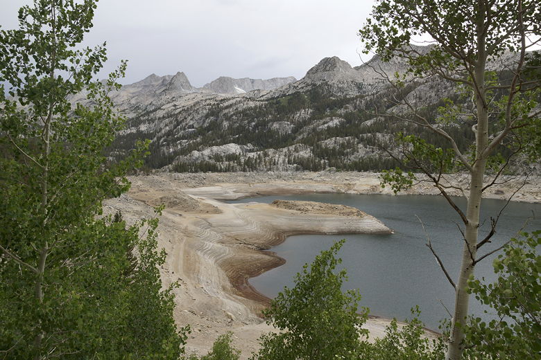
We continued downhill, turning right onto the final stretch of trail, soon in sight
of South Lake. The water levels of South Lake were noticeably significantly low.
That's what happens after two dry winters.
Depleted South Lake
We kept going, reaching the parking lot at 3:30pm. Our car was still there.
I searched the trunk and found the missing trekking pole; it had fallen off to the side,
hidden from view. Just as we were finishing cleaning up, about 20 minutes later,
the skies opened up but it didn't start to rain - it started to hail.
We quickly got in the car and drove off to Whoa Nellie Deli (Tioga Pass Road) for
dinner. It was sunny and pleasant over there. It was very busy, but service was
still quick and the food was good. We drove through Yosemite, then through Groveland.
As we passed the Rim of the World viewpoint, I could see the beginnings of a forest
fire to the north. There were already some emergency vehicles here, but we passed
through without any trouble. Little did I know that the fire had started yesterday,
and would explode into a huge wildfire in the next few days, temporarily closing
Highway 120. We're lucky we got out when we did.
By 11pm, we were back home in the Bay Area, thinking about the John Muir Trail.
(Click image to view full size)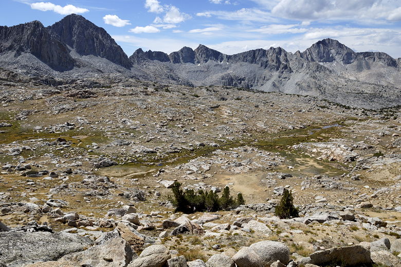
Related Pages:


|

|