|
A large group of us started out from the Circle group campsite around 11am.
After walking out onto the park road and turning left, we almost immediately
turned right onto the trail toward the Old Tree. The trail starts climbing
into the forest, shortly passing the Slate Creek Trail on the left. We passed
through a grove of redwoods with a bench in the middle.
After about a half mile, we reached the Old Tree, a 297 foot tall redwood that
measures 12 feet in diameter.
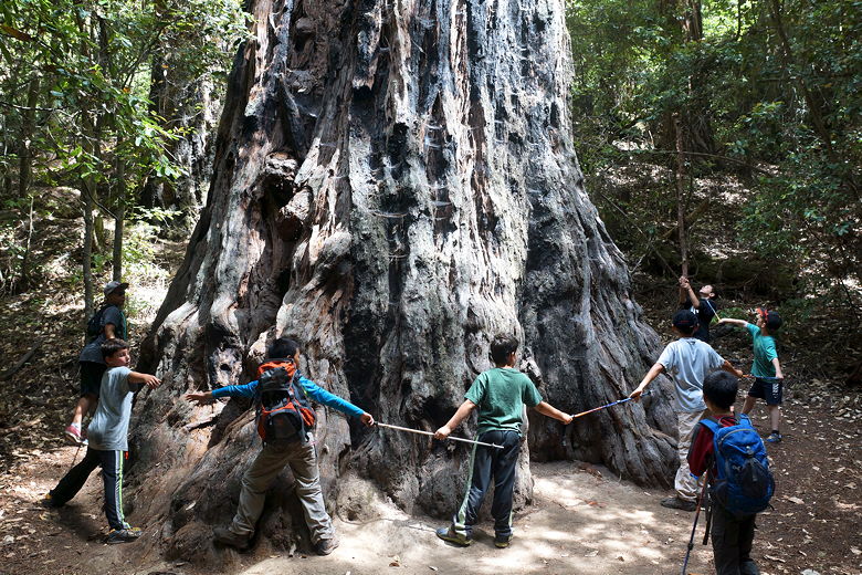
Old Tree
The trail dead-ends at the Old Tree, so we backtracked down the trail and then
turned right onto the Slate Creek Trail. This narrow trail immediately climbs
steeply, but after a short climb levels off. After about a quarter mile
from the junction, we turned right to stay on the Slate Creek Trail toward Trail Camp.
It's mostly uphill (though fairly gradual) from there as it winds its way through the forest.
We would not go all the way to Trail Camp, which is a place for backpackers to
spend the night. Instead, we stopped where the trail intersects with the Summit Trail.
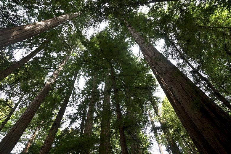
Looking up at redwood grove
The forest opens up a bit near the Summit Trail intersection. There's a nice
long log here
perfect to sit down for a picnic lunch, which we did. After lunch we headed down
the Summit Trail. It has a little tiny climb near the start, but after that it's
pretty much all downhill (though never that steep) down toward the park road.
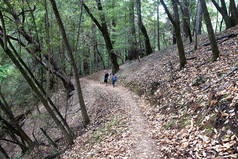
Descending the Summit Trail
About 3.5 miles into our hike we reached the paved park road. We could have turned
right here and taken a shortcut back to our campground in about a half mile.
Instead we turned left onto the road, passed some buildings,
crossed a footbridge over
Pescadero Creek, then shortly
reached the Iverson Cabin Site. There's really not much left here - just a sign
and some scraps of wood on the forest floor. Apparently it had lasted for a while
but what was left of the cabin (built in the 1860's) succumbed to the Loma Prieta
earthquake in 1989.
We turned right onto the Iverson Trail, briefly touched the wide dirt Old Haul Road,
but then immediately turned right to continue on the Iverson Trail. This part of
the hike we had done back in 2011. We followed the trail downhill slightly until
we reached Tiptoe Falls. Or rather, what was left of it in June after a dry winter.
What was left was about the same amount of water as a couple leaky faucets spilling
into a tiny pool of water.
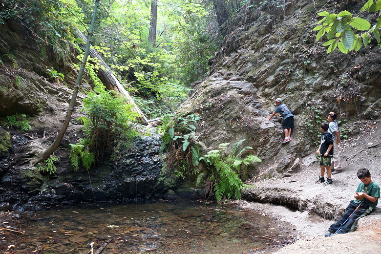
Tiptoe Falls (or where the falls would be)
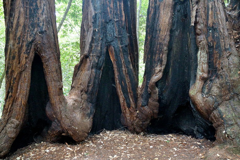
Base of redwoods
From the falls we followed the signs back to the main area (the trail signs actually
say "Main Area". Along the way we crossed Pescadero Creek over a footbridge.
Though low, it was still pretty. Soon enough we found ourselves back near the
visitor's center, and then back at our campground.
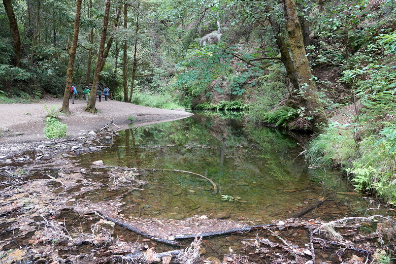
Pescadero Creek
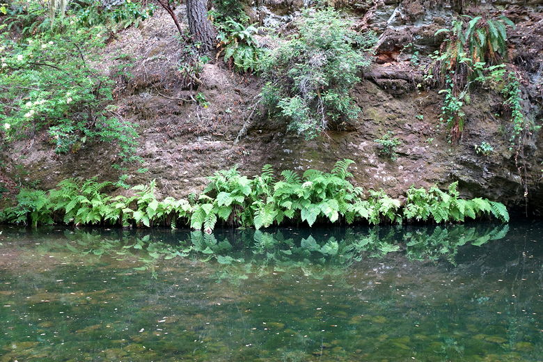
Pescadero Creek
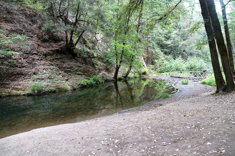
Pescadero Creek
| 

