Directions:
From Visalia, take Highway 198 east to Three Rivers. Turn right onto Mineral King Road.
Follow the road all the way to the end (about 25 miles). Keep right at the end to cross
the bridge and park in the small dirt parking lot.
View Driving Map
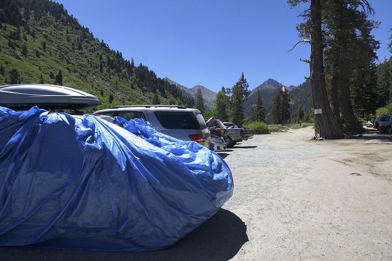
Marmots are known to chew through radiator hoses in Mineral King.
The ranger told us that tarping was probably better than using chicken wire, so
tarp we did, wrapping our car up like a burrito. One other car was tarped,
a couple had their hoods up, none had chicken wire, and most cars
were unprotected.
This was in stark contrast to 6 years ago, when every car had chicken wire, and
a ranger had shooed us away, telling us we had to go back down and get some
chicken wire - it was that much of a problem. This year, it was two weeks later
in the year, and also after a dry winter, so maybe it wasn't as much of an
issue this year. Still, we had the tarp, so we'd use it to be safe.
Our car wrapped up in defense against marmots
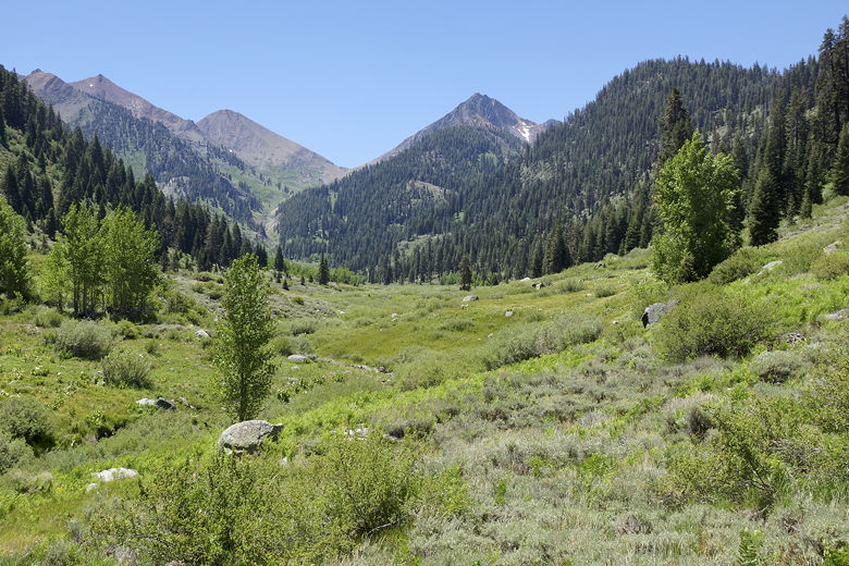
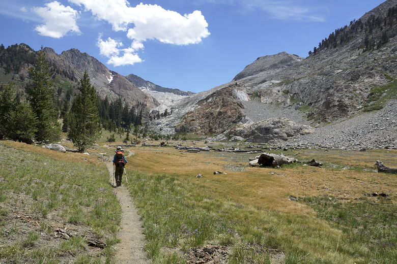
We finally got started on the trail at the far end of the lot at 11:30am. It was hot!
It was 100 degrees down in the central valley, and while it was significantly cooler
up here in the mountains, it was still hot. The trail starts climbing almost
immediately, on the western side of East Fork of the Kaweah River. Across the
river we could see the horse corral where we'd seen marmots hanging out on our last
trip.
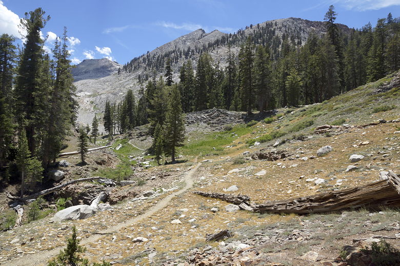
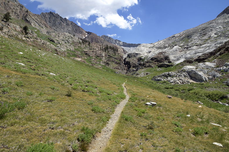
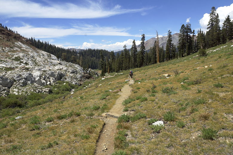
View of the canyon
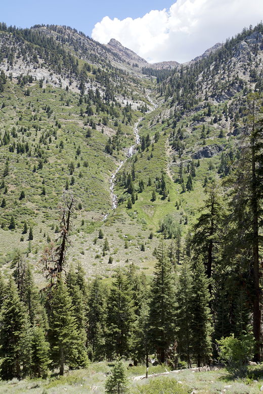
Crystal Creek
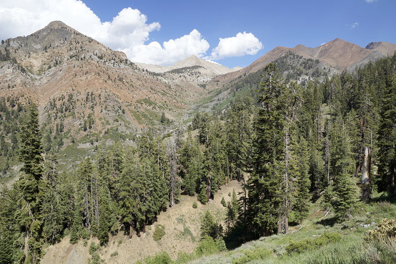
Further on, we could look to our left and see Crystal Creek cascading steeply down
the mountainside. The trail was a mix of shade and sun. Every shade was appreciated
on this hot day. After about 1.4 miles, we reached the first trail junction.
We continued straight ahead (the left fork). The right fork would have brought
us toward Eagle Lake and Mosquito Lake. We continued uphill for a bit under a mile
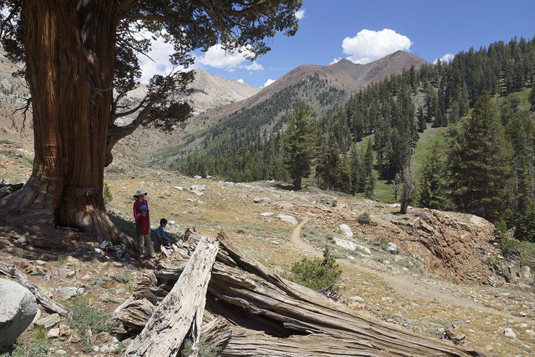
until we approached a completely dried up creek bed. We found a large pine tree
with ample shade and sweeping views of the area.
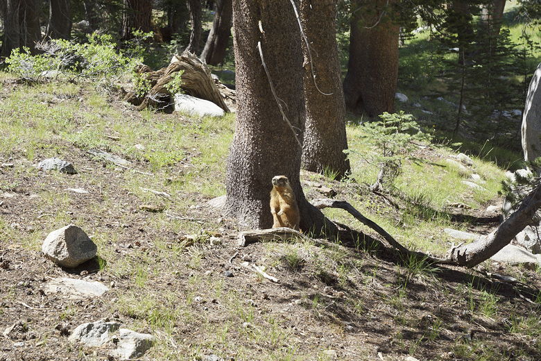
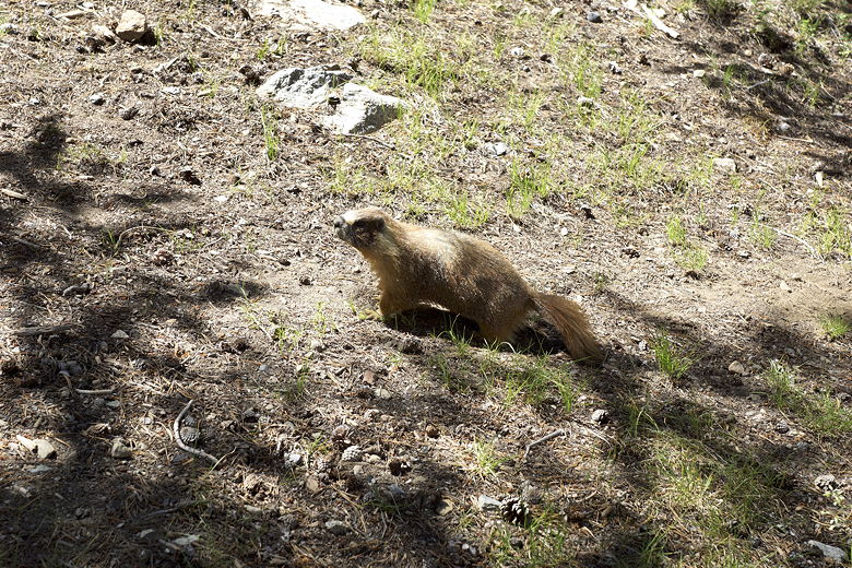
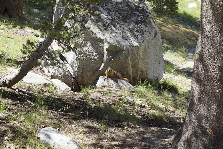
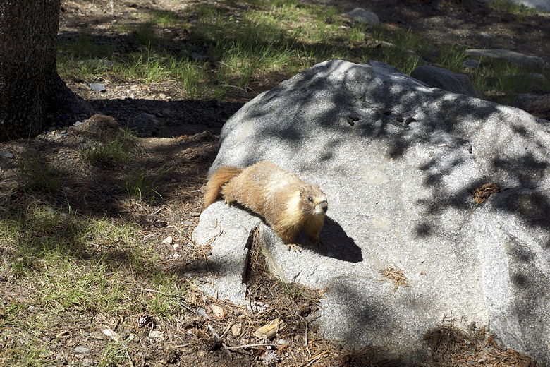
We stopped here for lunch. While we were there, a marmot came bounding down the
hillside, then played it coy, hiding under trees and rocks. Still, I managed to
get a couple pictures of it.
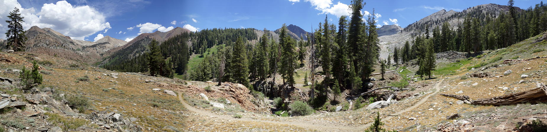
View to the northeast from our lunch stop
View looking ahead to the south
Lunch break
Panoramic from our lunch break (Click image to view full size)
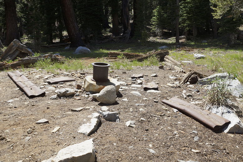
After lunch, we continued along the trail, which levels out for a bit. We crossed
the dry creek bed, then shortly passed the Crabtree Cabin ruins - just a few scraps
of rusted metal on the ground.
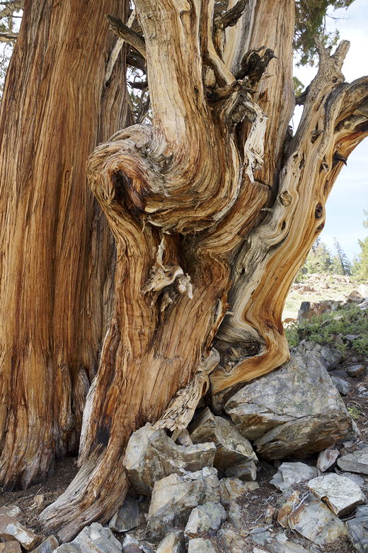
Gnarled pine
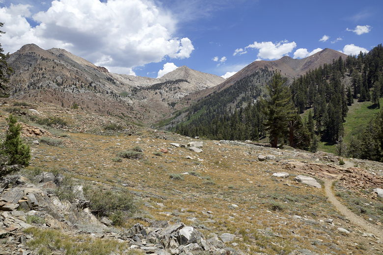
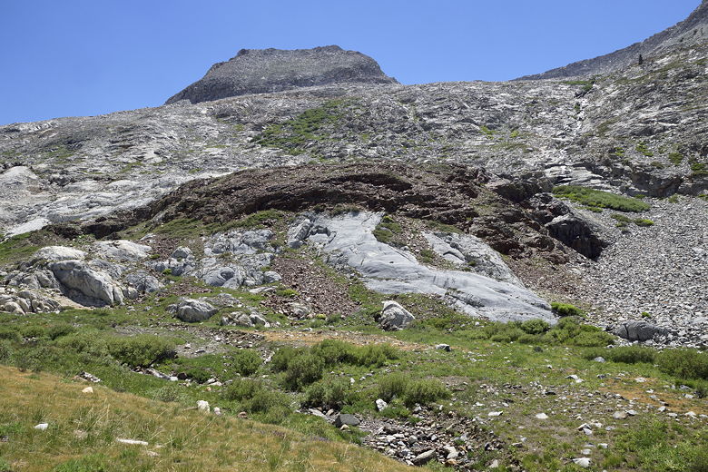
The trail is mostly unshaded now as it enters White Chief Canyon. We could see the
outlet stream from White Chief Lake on our right. We couldn't figure out where the
water was going, however, since the creek bed below it was dry. Perhaps there's
a sinkhole somewhere and the water heads underground? That phenomenon is
documented for nearby Eagle Creek.
Hiking up White Chief Canyon
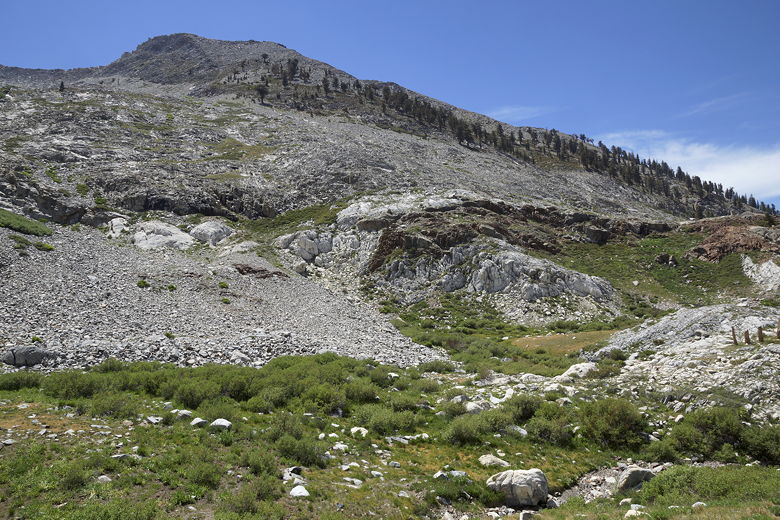
The trail climbs slightly then levels out again as it approaches the wall of
Vandever Mountain, White Chief Peak, and Eagle Crest. At this point we decided
not to continue up to the White Chief Mine. It looked like it was a fair bit of
climbing ahead, and the kids were getting restless. The prospect of a mine didn't
excite them as much as a lake would. I was satisfied that we'd seen most of the
best views already, so I didn't fight it.
White Chief Canyon
White Chief Peak
Eagle Crest
Heading back
We turned around and headed back. We shortly ran into two hikers who asked us
about the mine. They were trying to decide whether to continue or not (since they
had kids waiting for them further back on the trail). After talking with us, they
decided to turn around as well. I would say that even if you don't go all the
way to the mine,
it is well worth it to walk the flatter trail up toward the mine (before the creek
crossing just before the mine). The views are well worth it.
Ruins of Crabtree Cabin
Marmot
Marmot
Marmot
Marmot
We started our return at 2:40pm, arriving back at the trailhead at 4:10pm, downhill
pretty much all the way. Our tarp was still intact. Tarp 1, Marmots 0.