|
It was another warm summer morning when we reached the Sawtooth parking area. A
solo backpacker prepped next to us as we tarped our car. He seemed unconcerned
about marmots; they didn't seem to be a big problem at this time, but we didn't
mind being cautious. Another couple drove in and also tarped their car, so we
weren't alone in that regard.
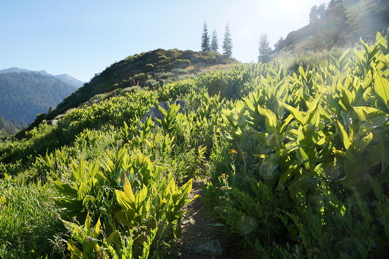
The trail climbs immediately, steeply - in fact this is the steepest part of the
hike. Along the way were wildflowers and numerous caterpillars. A few
caterpillars could be seen on the ground, but we eventually spotted hundreds of
them in tents in bushes next to the trail.
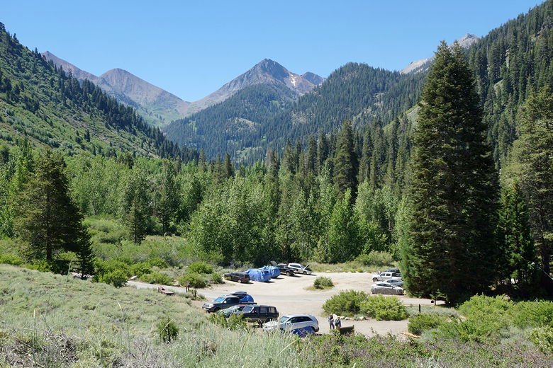
Sawtooth parking area
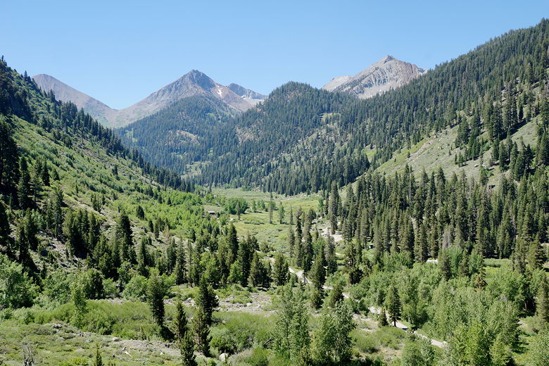
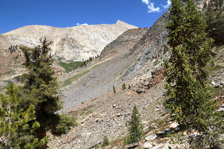
Looking back toward Farewell Gap
We shortly came to a view of Black Wolf Falls on the right, part of Monarch Creek.
It was nice, but nothing spectacular. After about 0.7 miles, we reached the
first trail intersection. To the left is the trail to Timber Gap. We took the
right fork toward Crystal and Monarch Lakes.
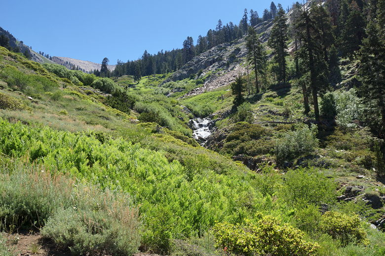
Black Wolf Falls
Continuing up the trail
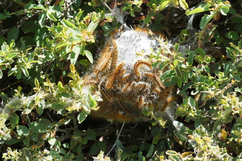
Caterpillar tent
The trail continues to climb, then briefly descends to cross Monarch Creek
(easily rock-hopped at this time) at Groundhog Meadow, then starts climbing
on a series of switchbacks.
I have to say that the switchbacks were overly conservative, going back and
forth so much at a low grade that I was tempted to question the trail builders.
My guess is that it was done this way for the benefit of horses, but I can't
say for sure.
Groundhog Meadow
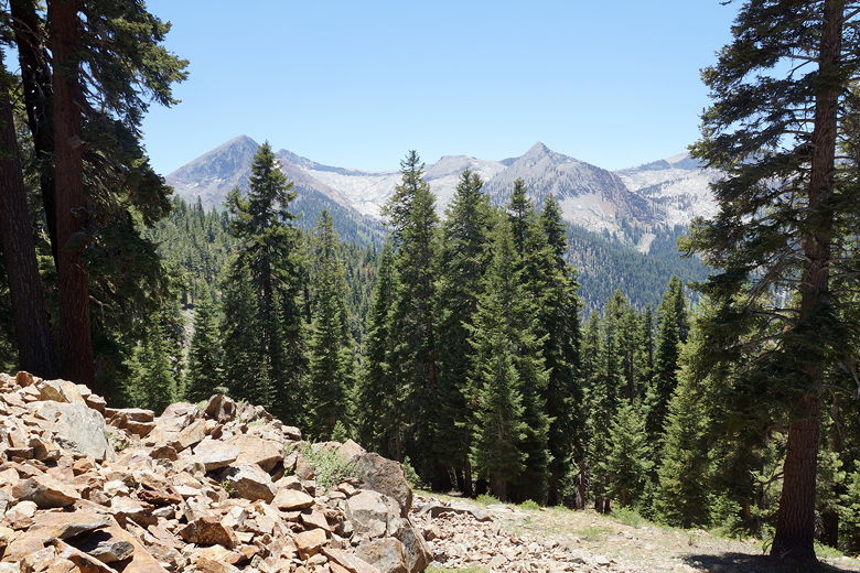
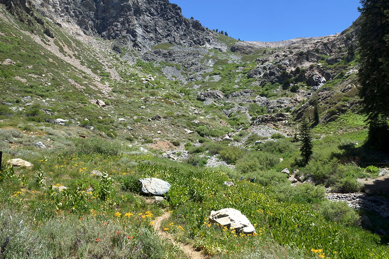
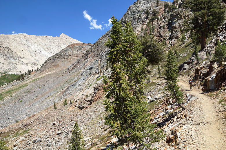
View from the trail
This part of the trail is mostly shaded. We stopped on one of the switchbacks
for a break. A solo hiker passed us at this point - one of only a few people
we'd see on the trail today. We continued on the trail and the views started
to open up. After what seemed like longer than it should have been, we reached
the next trail intersection. To the right is the trail to Crystal Lake. We
took the left fork toward Monarch Lake.
View from the trail
After a few minutes on this trail, we stopped for a final break before the
lake. Confusingly, the same solo hiker who'd passed us before now passed us
again in the same direction. I can't be sure, but my guess is that he
took the right fork to visit the Chihuahua Mine ruins, then backtracked and continued
on toward Monarch Lake. At the rate that he was going, there was no way he could
have gone all the way to Crystal Lake and back, so that's my best guess.
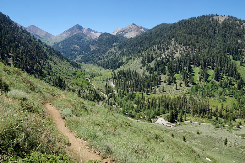
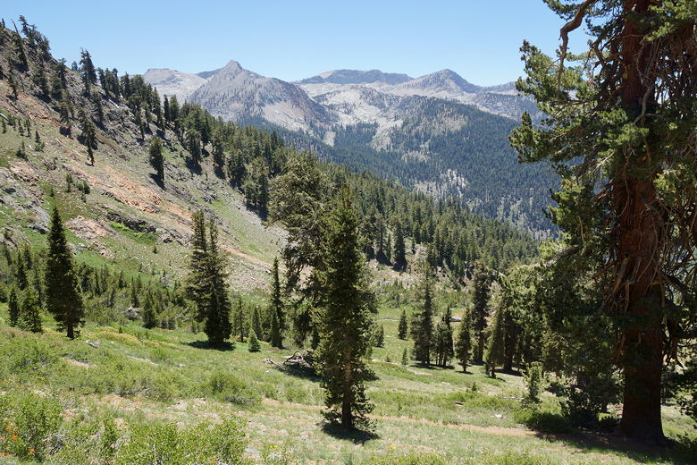
We got up and started the final stretch. The trail mostly levels out at this
point. We followed the trail, literally turned a corner and then were met
with this other world. We'd been hiking in open forest, but ahead of us was
now mostly barren rocky slopes. It was quite an impressive sight.
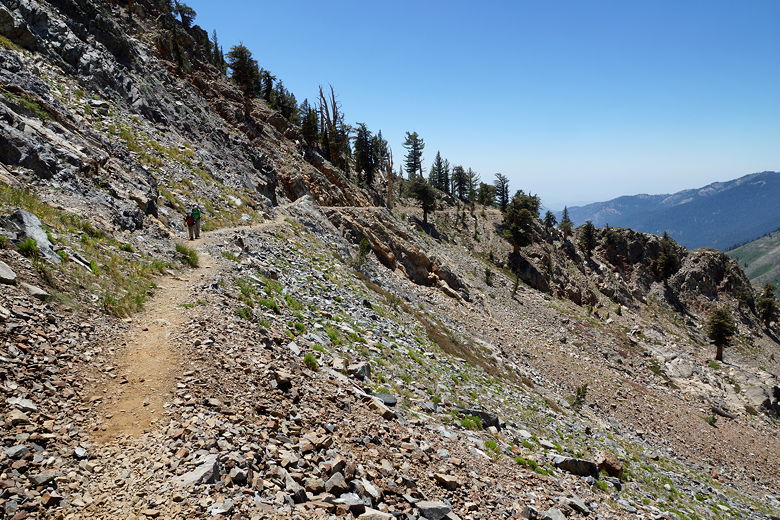
Starting the final barren stretch
Final stretch toward the lake
Looking back along the trail
We continued on for about a mile past the intersection. As we crossed Monarch
Creek, we ran into the couple who had tarped their car just after us. They
had passed us early on the hike and were now returning. I asked them if
they had visited the larger upper Monarch Lake, and they said they had.
But when I asked them if it was worth it, they hesitated then said yes but were unconvincing.
We shortly came to the lower Monarch Lake, and it was a bit of a visual
disappointment. It's a small lake and there's pretty much no shade to be
found anywhere. The upper lake is dammed and is much larger, but it's about
300+ feet higher in elevation and there's no official trail to it -- it looks
like it involves a bit of scrambling over granite to get there. By this time it was already
2:45pm, and I had no ammunition to convince my family to head to the upper
lake.
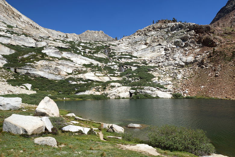
Lower Monarch Lake
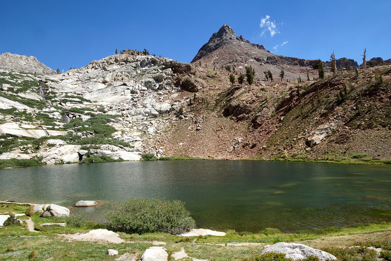
Lower Monarch Lake
Still, we had lunch at the lake and watched as a couple of hikers jumped into
the lake for a quick dip. We dipped our toes in the water and skipped rocks.
It was nice, though not nearly as nice a scene as Eagle Lake.
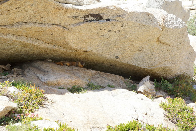
Marmot at Monarch Lake
We finally left the lake at 4:20pm. It took
us 2 hours and 15 minutes to descend the way we came. Since the grade wasn't
steep, the descent was very easy. When we reached Groundhog
Meadow we were surprised to find a solo backpacker there. His tent was much
too close to the water, and we didn't know why someone would camp so close to
the trailhead. In any case, there were mosquitoes in the area so we didn't
stick around to ask him.
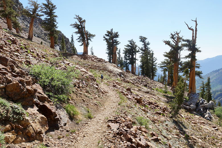
Heading back along the trail
Trees next to the trail
Groundhog Meadow
We descended the slippery steep part at the bottom, reaching the parking lot
where our tarp was still intact.
| 

