|
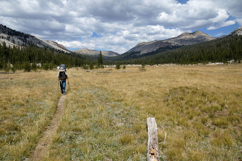
We woke up at 6:45am this morning, hoping for a 9am start. While we thought we had the lake to ourselves, it appeared there was a group on the opposite shore. Or at least they were hiking back toward the trailhead as we finally left at 9:35am.
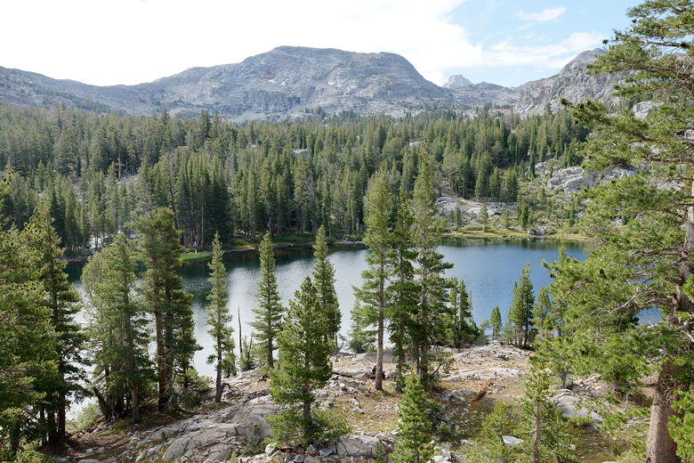
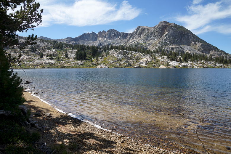
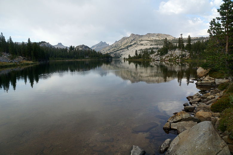
Lake Harriet
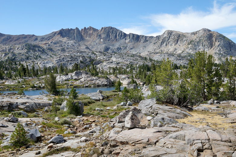
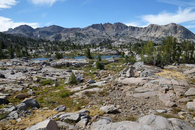
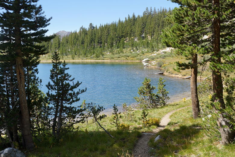
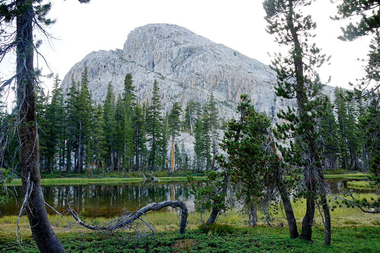
Probably Bonnie Lake
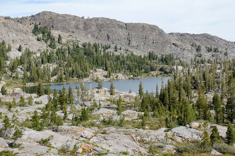
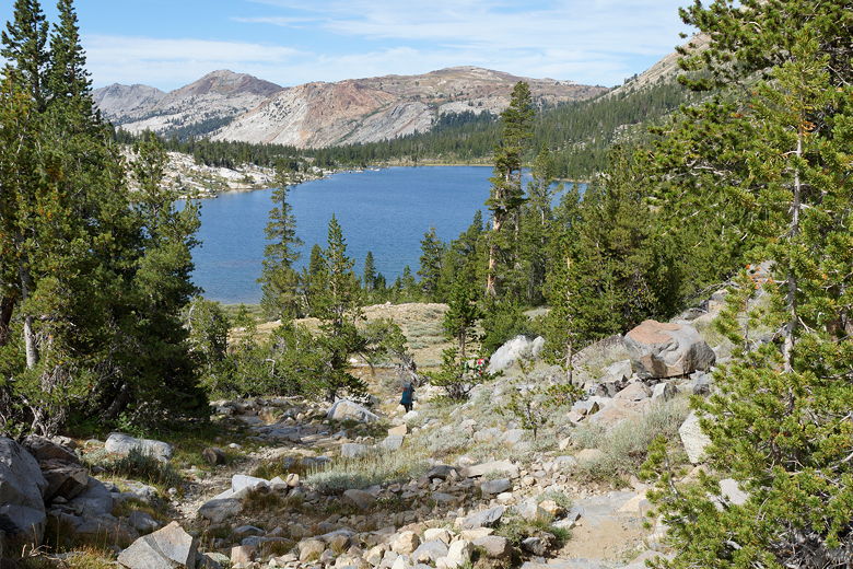
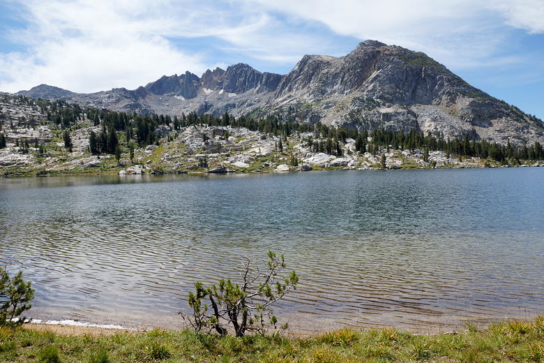
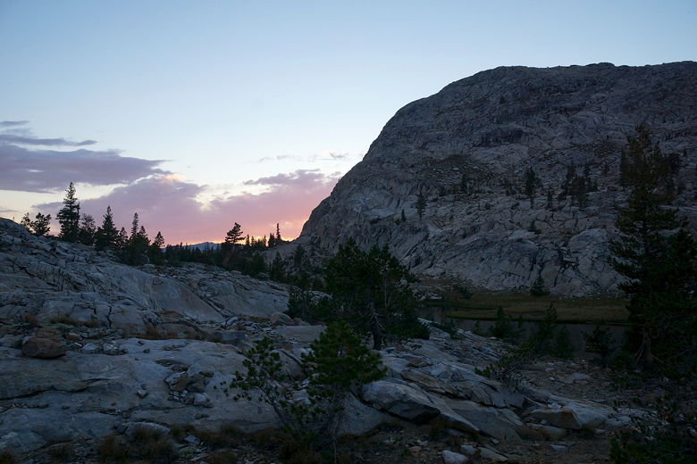
It only took us about 35 minutes to reach Stella Lake about a little more than a mile further up the trail, though of course we were fresher than we would have been had we tried to reach it yesterday afternoon. Also, while Stella Lake was in a more dramatic setting, with high peaks visible in the background, there didn't appear to be campsites as nice as those found at Lake Harriet. So we were satisfied with our decision to stay at Harriet instead.
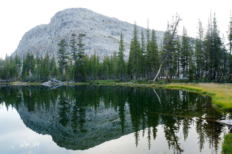
Stella Lake
Stella Lake
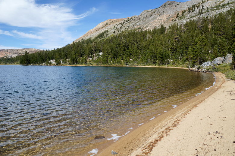
About 300 feet in elevation above Lake Harriet, and shortly after reaching Stella Lake, we reached Dorothy Pass. It was quite possibly the easiest 9620 foot pass we've encountered. Not steep at all. There was a sign here noting that we were now entering Yosemite. We continued downhill to the southwest, with views of Dorothy Lake in front of us. After a short downhill, we were at the lake shore, taking a long break at a beautiful beach.
Descending from Dorothy Pass to Dorothy Lake
Dorothy Lake is much larger than Stella Lake and Lake Harriet, and a nice sandy beach covers much of the northern shore. We enjoyed some rock skipping here, then finally left after 45 minutes. A group of 3 hikers arrived just as we were leaving, the first 3 people we'd seen since leaving camp that morning.
Northern shore of Dorothy Lake
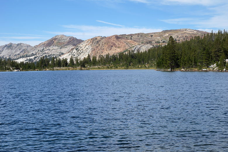
Looking across Dorothy Lake
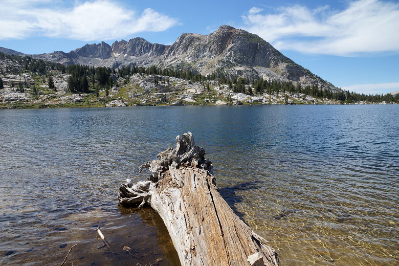
Forsyth Peak over Dorothy Lake
Forsyth Peak over Dorothy Lake
Forsyth Peak over Dorothy Lake
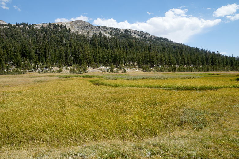
We continued along the trail, which hugs the northwestern shore. Upon leaving the lake, we started the long downhill toward Tilden Lake. It's 1.5 miles from the pass to a junction, and then another 6.8 miles to the Tilden Lake junction. It was not steep at all, just long. The beginning section is mostly shaded, but enters the open as it passes through large Grace Meadow.
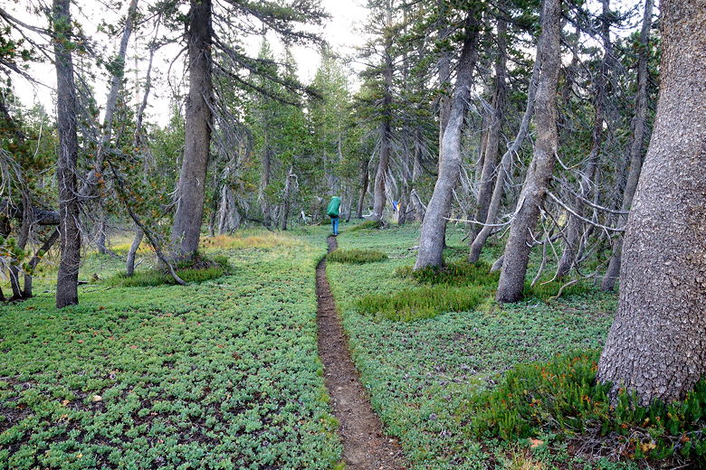
Trail next to Dorothy Lake
Grace Meadow
We saw one backpacker coming up the opposite direction. I asked him about Tilden Lake, since we had the choice of camping there or nearby Wilma Lake (note, some trail signs refer to it as "Wilmer Lake" but it is in fact Wilma Lake). In fact he had stayed at Tilden Lake (along with 6 friends behind him) the night before and recommended it. He said the fishing was good, as well (although we weren't fishing). He said that there were good campsites as soon as your reach the lake.
Walking through Grace Meadow under gathering storm
Grace Meadow
Over the course of the next hour, we saw the rest of his group scattered throughout the meadow as we continued along the trail. After finally exiting the meadow, the trail continues the descent. This part of the trail wasn't that hard, but it seemed to take forever. Finally, after about 10 miles of hiking on the day, we reached the Tilden Lake intersection. By this time it was about 4:30pm.
I noticed the clouds darkening as we turned left and started the ascent up to Tilden Lake. While we were in Mammoth Lakes, I had checked the weather forecast: sunny every day except clouds on Tuesday and Thursday, with a slight chance of rain on Thursday. Of course that was for the town of Mammoth Lakes, so it wasn't directly applicable. Still, it gave us a good idea of what to expect.
Then I felt a drop. And another. We stopped and put on our pack covers and rain jackets. Then it started to rain. Then we started hearing thunder - about 5 thunderclaps in all, with a couple visible lightning strikes in the air. We stopped and waited. I expected it wouldn't last too long, but I said if it was still going at 5:30pm, we should consider retreating and going to Wilma Lake for the night (lower ground). I didn't really want to do that, but that was an option. Thankfully it was all over in about 15-20 minutes.
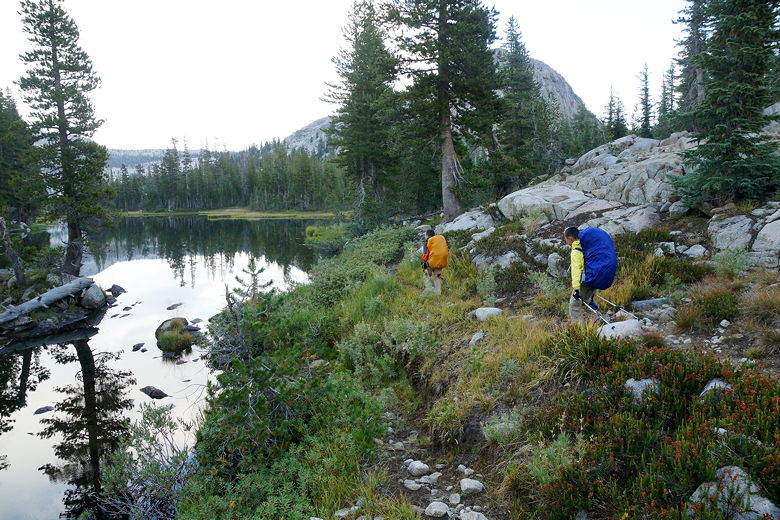
We waited a bit more, then satisfied that it was over, we resumed the climb after a 25 minute rain delay. The total climb from the intersection is about 700 feet. We soon found ourselves at the edge of Tilden Lake. There were great campsites off the trail to the right (probably the ones mentioned by the folks we met on the trail earlier). However, we still weren't at the main part of the lake. So we decided to keep going, despite the late hour.
Hiking into the outskirts of Tilden Lake after a long day
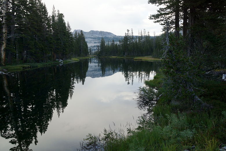
Tilden Lake
This part of the trail is beautiful, a carpet of green spreading out beneath the trees, a family of deer blissfully eating dinner in front of us. The trail reminds me of parts of the Dusy Basin trail. This part of the trail is also flat as it traverses the southern shore of Tilden Lake, the granite mass of Chittenden Peak looming above it. Soon enough (around 6:20pm) we reached the main part of the lake, with more expansive views.
Chittenden Peak above Tilden Lake
Path next to Tilden Lake
Chittenden Peak reflected in Tilden Lake
The next trick was finding a campsite. This was no easy task. The land rises steeply from the south shore of the lake, and consists of a lot of granite. We were beginning to wonder if we'd made a mistake by skipping the pleasant campsite earlier on. However, we found a nice spot high above the lake where we squeezed our tent in. We had great views of the lake and surrounding area from our site. The only downside was the long walk back and forth to get water, but it was a small price to pay for such a beautiful spot.
Tilden Lake
Amazingly, it looked like there was no one else here for miles. The last people we'd seen were back near the trail junction. The skies were mostly clear by this time. I had hoped for a dramatic sunset after a clearing storm, but it was not to be. I did feel compelled to do some night photography, though. Unfortunately, the moon would not come out until late at night, after I was asleep, so I had to content myself with mostly just star pictures. The moon wasn't available to light up the landscape.
Chittenden Peak sunset
| 

