|
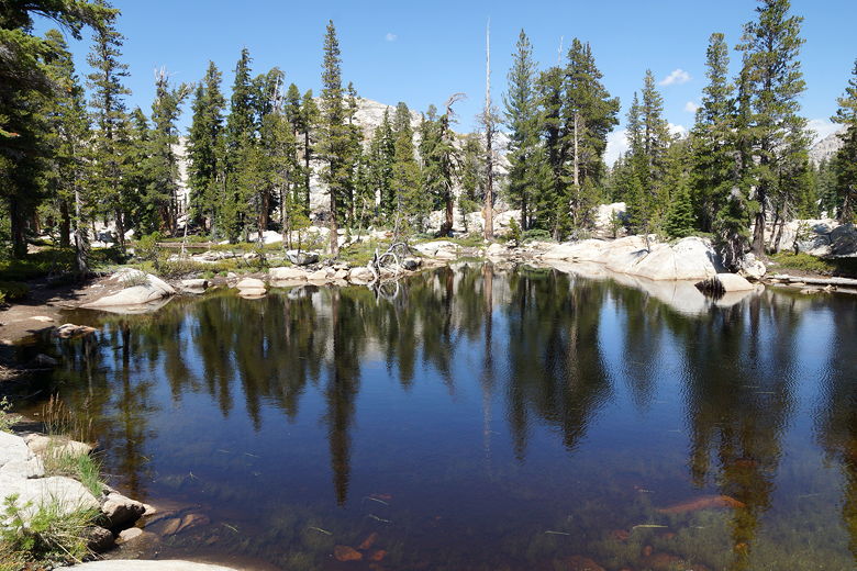
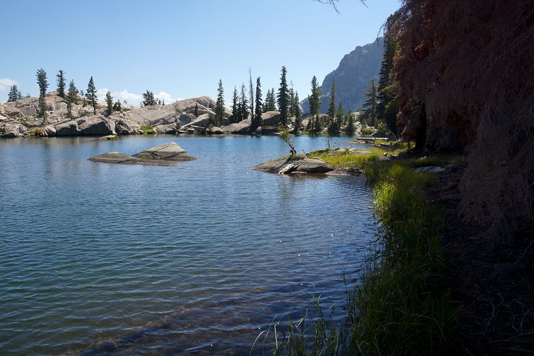
We woke up at 7am, enjoying yet another camp with no one else around. We left our camp at Kerrick Canyon at 10:15am. The trail does a gradual uphill climb as it heads up Rancheria Creek about 900 feet over 3.5 miles. That being said, it wasn't consistent - the trail went up and down quite a bit. At the start of the trail, we saw very little water from the trail. About 45-60 minutes after leaving camp, we finally crossed the un-named lake's outlet stream. It would have been enough water to get by on last night, but there were no decent camp sites visible in the area. Perhaps we would have found something.
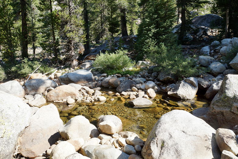
Rancheria Creek near our camp site
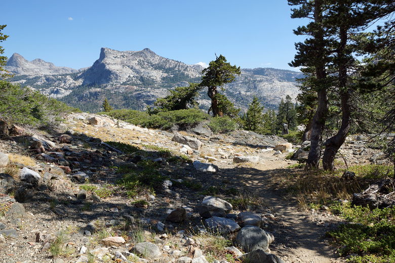
The river is more readily visible after this. We stopped for a rest break near the water, just before a set of stone steps on the trail. After the break we climbed some more, then reached the trail intersection at 3.5 miles. To the left the trail heads up toward Twin Lakes. We took the sharp right turn to head toward Seavey Pass and then Benson Lake.
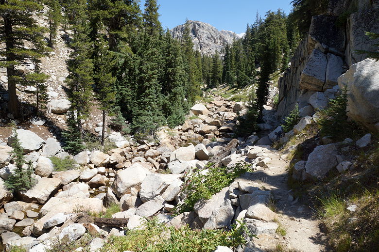
Heading up Kerrick Canyon
From this intersection it's just a short climb to the top of the pass, about another 300 feet. However, there were a few false summits. We thought we reached the summit shortly, with a small lake right in front of us, but the trail climbs some more (and away from the lake). We stopped for a break at two ponds near the top of the pass.
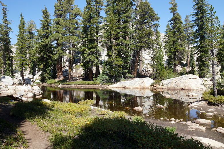
Pond near Seavey Pass
Pond near Seavey Pass
Pond near Seavey Pass
We left the ponds at 2:15pm, then finished off what was left of the climb to Seavey Pass (elevation 9160). As we did so, we heard an unexpected sound - construction work. A CCC (California Conservation Corps) worker was apparently using a gas powered drill, digging into the rock. He was just the first of 14 workers that we would see scattered across the trail all the way to Benson Lake. They were also the only 14 people we'd see on the trail today. To be honest, the noise of the drill kind of ruined the mood, but I am thankful for the work that they do. If you feel so inclined,
they do accept donations.
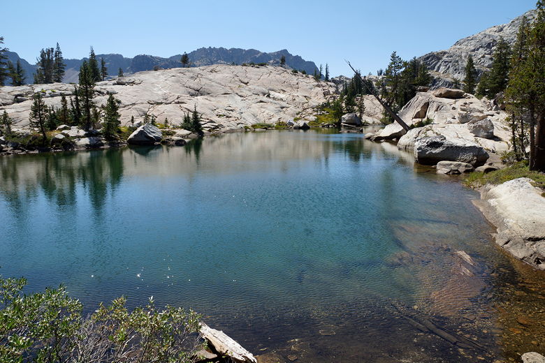
Pond near Seavey Pass
Pond near Seavey Pass
The CCC workers were all young, carrying shovels and wearing hard hats, working to improve the trail. I talked to one of them and he explained that they had hiked in from Twin Lakes and were stationed at Benson Lake for 3 months. He said Benson Lake was the place to be: "It's the Maui of Yosemite."
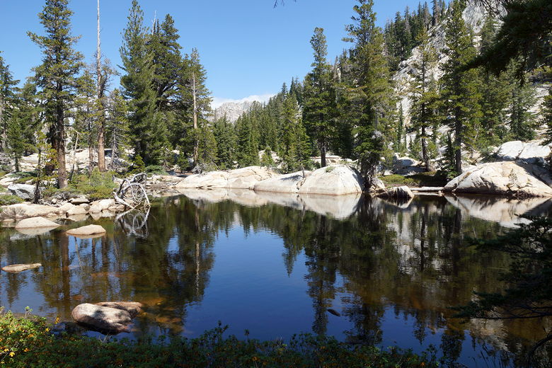
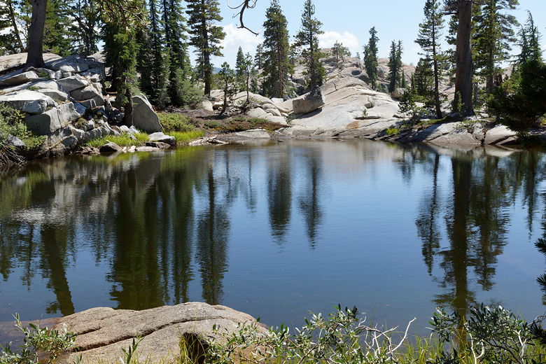
We stopped briefly at a pretty little lake below the pass. A couple of ducks swam on the surface. Unfortunately for me, the stay wasn't short enough. While heading toward the shore to take some pictures, my foot sank into foot-deep mud (I hadn't even reached the shore yet!). I pulled my foot out as fast as I could. Thankfully the mud only covered the exterior of my show and just a little of the sock. Good thing I brought one extra pair of socks (I'd change them later).
Unnamed lake next to the trail
Unnamed lake next to the trail
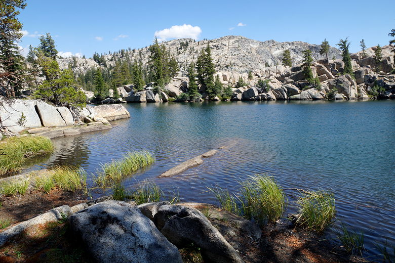
We now began a long downhill, about 1600 feet of descent from the pass over about 3 miles. After we passed the last of the CCC workers, we went through some nice sections of trail lined with ferns. Then we got our first glimpse of Benson Lake, still a little ways down and tucked around a corner to the right. We descended easily now, then made the right turn at the intersection at the bottom. From here it was about 0.4 miles of flat walking on dusty trail in the forest to reach the lake. You can't actually see the lake until you're practically there.
Descending from Seavey Pass
Volunteer Peak (on the left)
View looking south from the trail
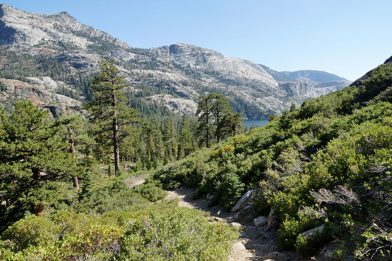
First glimpse of Benson Lake
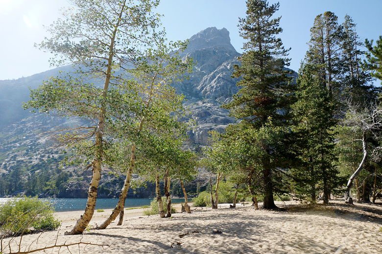
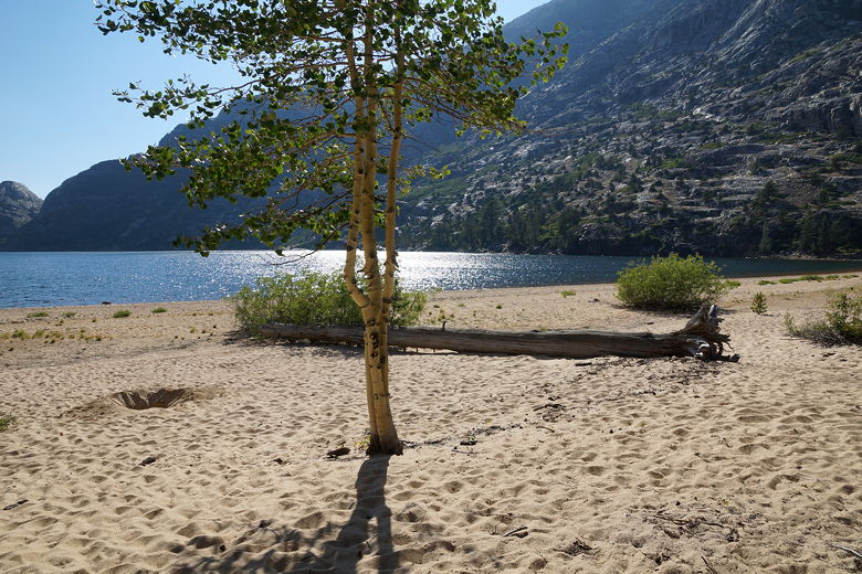
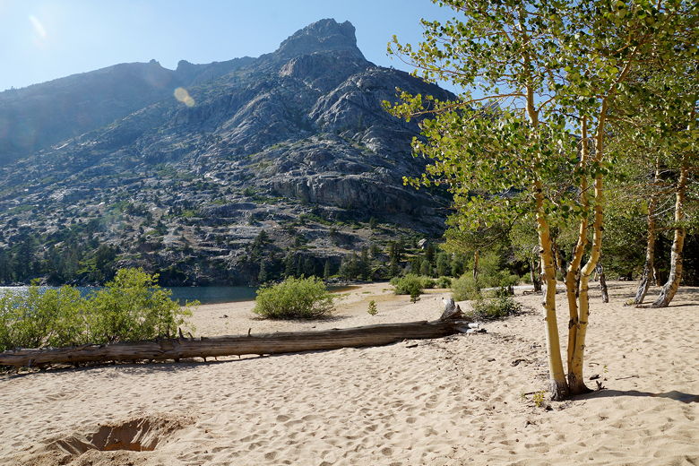
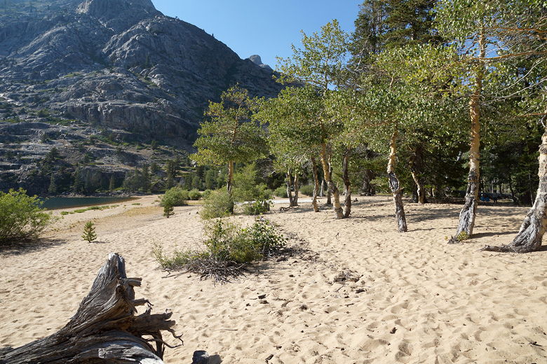
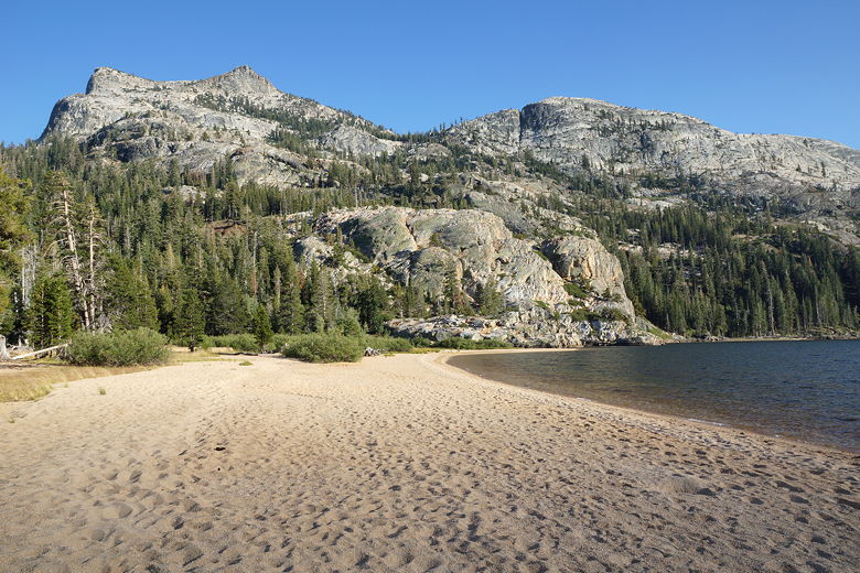
We emerged from the forest and reached...the beach! Sand stretched out to the left and right in a crescent; the beach was at least 100 feet from the trees to the shore all around. Except for the beach side, Benson Lake (elevation 7581) is surrounded on all sides by granite mountains. Winds kicked up small waves. It was strange yet awesome at the same time. It felt like being in two places at once - the mountains, and an ocean beach. Nathan said "I want to stay here forever." Unfortunately we only had one night here, so we quickly got down to the business of finding a camp site. I suppose you could camp right on the beach itself, but we found an existing site tucked just into the trees, just off the beach.
Beach at Benson Lake
Beach at Benson Lake
Beach at Benson Lake
We set up our camp, then enjoyed the beach, the kids burying each other in the sand. I walked right into the water to get water to filter. It was refreshing. Unfortunately, because of the topography, the sun became hidden behind the granite mountains far before sunset, shadows engulfed the beach, and it became much colder fairly quickly. But it was still nice.
Beach at Benson Lake
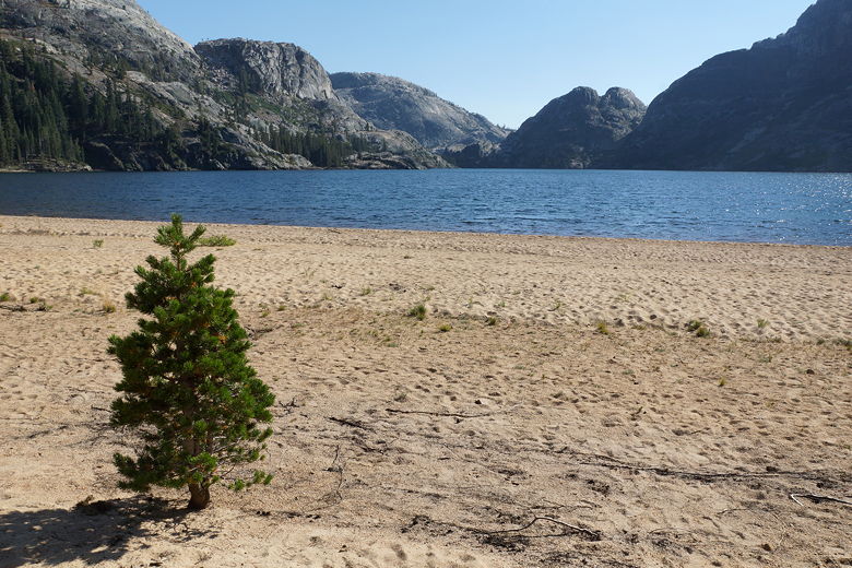
Benson Lake
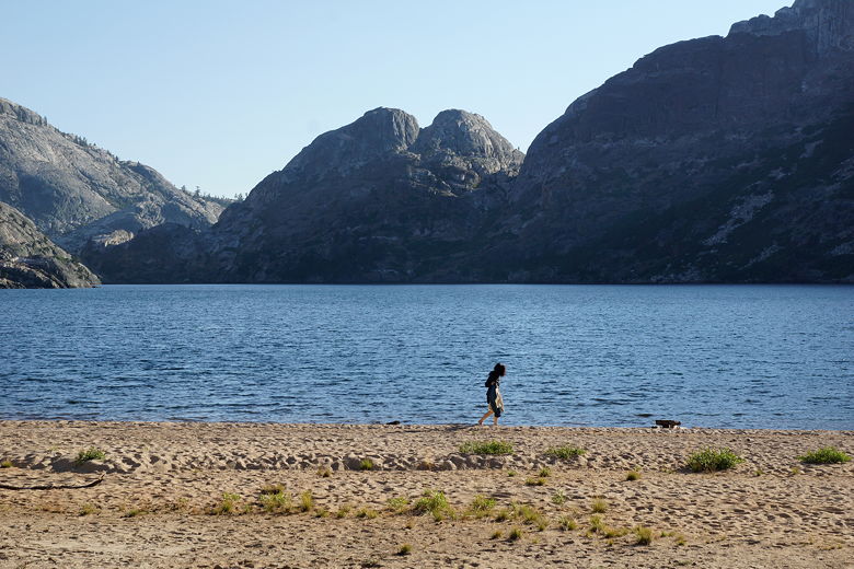
Walking on the beach at Benson Lake
Beach at Benson Lake
Back at our camp, I noted that the kids had been eating much more than they had last year. I knew we had enough breakfast and dinner food, but I suspected we might be running short on lunch food. I took out all our bars, fruit, and nuts, and sure enough, we were running low. We'd have to start rationing the lunch food, and we still had two tough days (Friday and Saturday) before an easier day on Sunday.
That night I saw the Milky Way over Benson Lake. The last time I remember seeing the Milky Way was in the Desolation Wilderness, and I had neglected to take a picture then. I didn't make the same mistake this time.
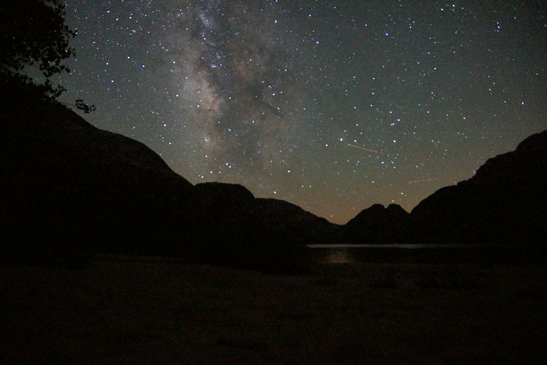
Milky Way above Benson Lake
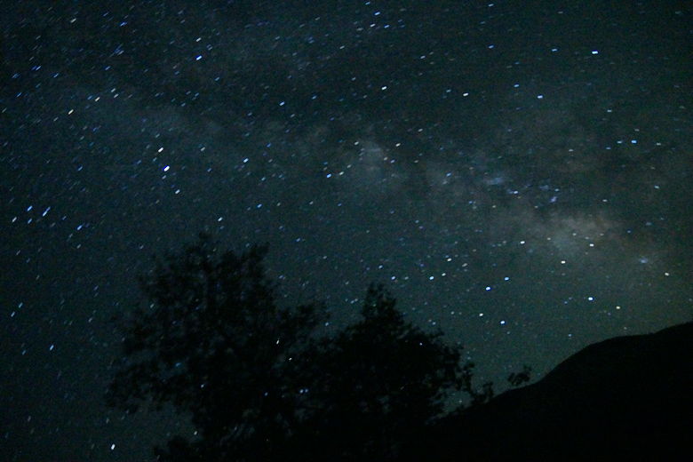
Milky Way above Benson Lake
| 

