|
We knew we had a long day ahead of us (over 11 miles, with about 3000 feet of climbing), so we set the alarm and got up early - 6:15am, right around sunrise. We noticed the CCC workers were up early as well. Their camp was at the far end of the beach, far enough away that we couldn't really hear them most of the time. They must have a secret trail to reach their camp, since they didn't hike back via the normal trail to the beach.
Our goal was to leave by 8:30am, and we didn't miss it by much, leaving camp at 8:48am. It was another sunny day. The brief thunderstorm we had encountered on Tuesday was the only rain we encountered the whole trip. We set out on the easy 0.4 mile trail back to the main trail, then turned right and started the 2100 foot climb up toward Benson Pass. The climb wouldn't take us all the way to the pass, as the trail would then drop down to Smedberg Lake and then climb another 900 feet up to the pass.
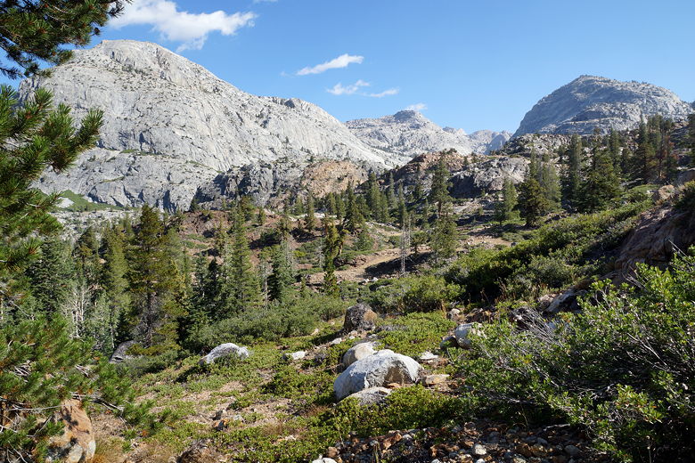
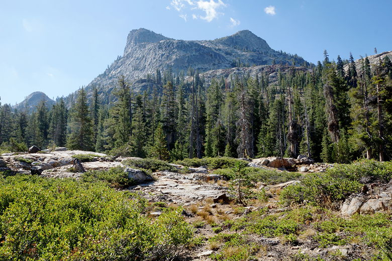
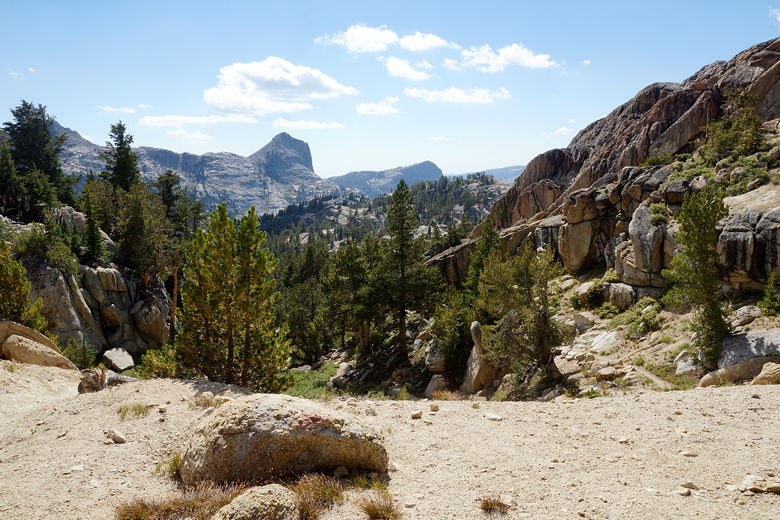
View of the mountains north of the trail
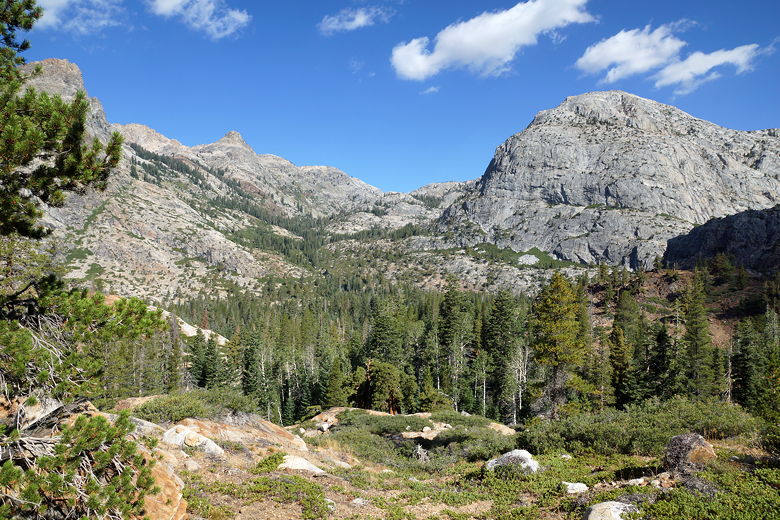
View of the mountains north of the trail
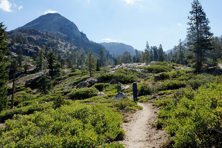
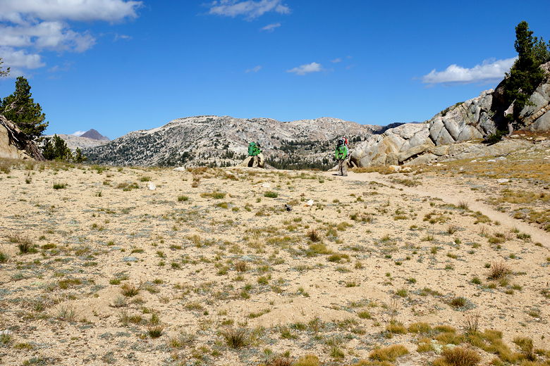
Faced with the daunting task of climbing 3000 feet with backpacks, we split it up into manageable chunks. We climbed about 700 feet before taking a break. Thankfully, despite the sun, it was noticeably cooler today with a brisk refreshing wind. That was welcome during the climb. We climbed another 700 feet and took another break. As we neared the next intersection near the top, we encountered a group of 4 backpackers. I asked if they had come from Matterhorn Canyon and they had. They said there was plenty of water and good campsites along the way. I'd heard that before, but somehow it seemed more believable coming from a group. They asked me about Benson Lake and the lake near Seavey Pass. I told them about the CCC workers.
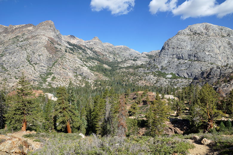
View of the mountains north of the trail
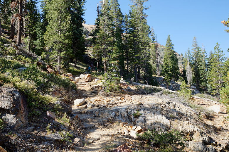
Climbing up the trail
View looking south
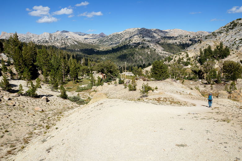
The trail continues to climb
Pond next to the trail
We continued onto the intersection, then walked about 0.3 miles along mostly flat trail to the next intersection, then turned left to head downhill to Smedberg Lake. Except it wasn't all downhill. It did start out downhill, pretty steeply too. But then it started climbing again - not much, but enough to be annoying - before dropping down to Smedberg Lake. The problem with maps is it's not always easy to read all the contour lines and see every 100 foot up and down.
On the short trail between the intersections
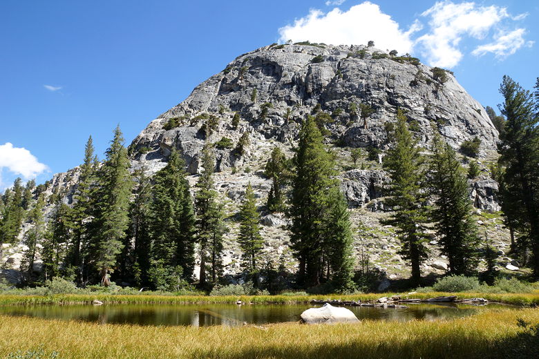
Smedberg Lake is much smaller than Benson, and lacks a beach. It does have some nice granite shores that lead right into the water. I filtered some water to make some Gatorade while we took a break here. It was rather windy here, but we still stayed for almost an hour. We finally left at 2:10pm.
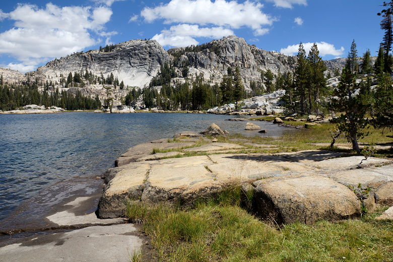
Smedberg Lake
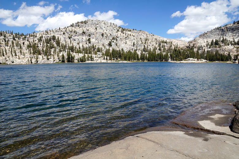
Smedberg Lake
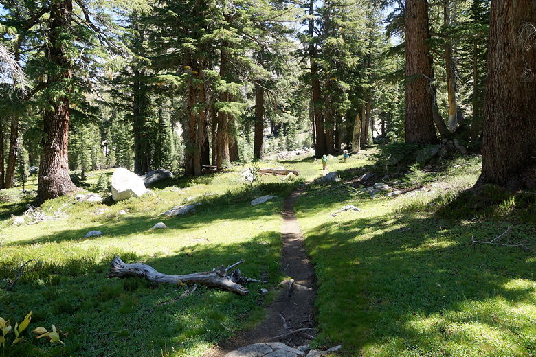
We still had a long way to go - about 6.5 miles, in fact. At least we'd done most of the climbing. Still, we had to finish off the climb up to Benson Pass. It was tougher than I thought it would be. From Smedberg Lake the trail is relatively flat for a while. Then, as it gets closer to the pass, it kicks up the steepness. The very last bit isn't even really a trail - it's more like a suggestion of switchbacks up a sand dune. We encountered one person hiking in the opposite direction near the pass, the 5th and last person we'd see today.
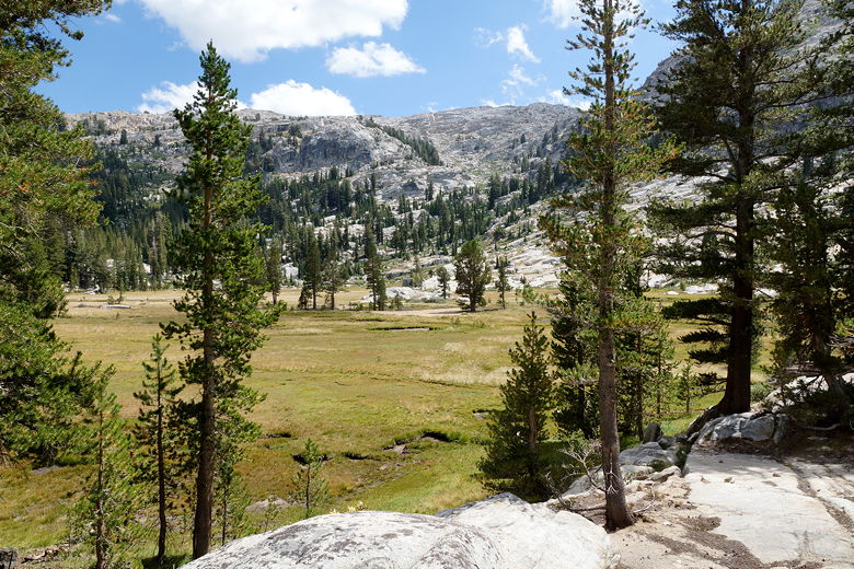
Meadow on the way to Benson Pass
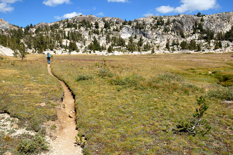
Crossing the meadow
When we reached the top of Benson Pass (elevation 10,140), the wind threatened to blow us off. We quickly started the descent on the other side, which was nice and easy. No rocky terrain to cover. Just some easy downhill and flat sections.
Top of Benson Pass
Looking back (west) from Benson Pass
Starting the descent from Benson Pass
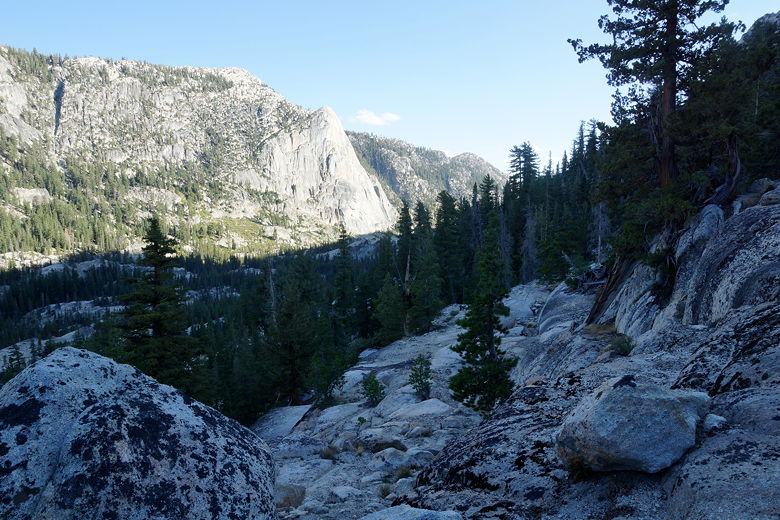
The trail follows Wilson Creek downhill. Because of the topography, the canyon was engulfed in shadow well before sunset. We took one last break here, then continued as the trail curved around to the left and entered Matterhorn Canyon. At one point I stopped to take some pictures and noticed an animal dart away. It looked like a weiner dog with golden fur. At first I thought it might be a fox, but now I'm pretty sure it was a weasel, a first sighting for me. I'm sorry to say I wasn't quick enough to take a picture of it before it disappeared.
Heading down toward Matterhorn Canyon
As we continued downhill, we could see the meadow below lit up by the sun. I was hoping it would still be lit when we got there, but the sun was going down too fast. We reached the bottom just before 6pm, then continued upstream looking for a campsite. We stopped at 6:15pm, near the end of a meadow, where a large area probably used by horse packers made for an obvious camp site. The site was in the forest, with the meadow just outside the forest. Matterhorn Canyon snaked its way through the meadow, and it was fairly easy to access the water here.
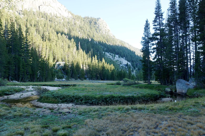
Meadow in Matterhorn Canyon
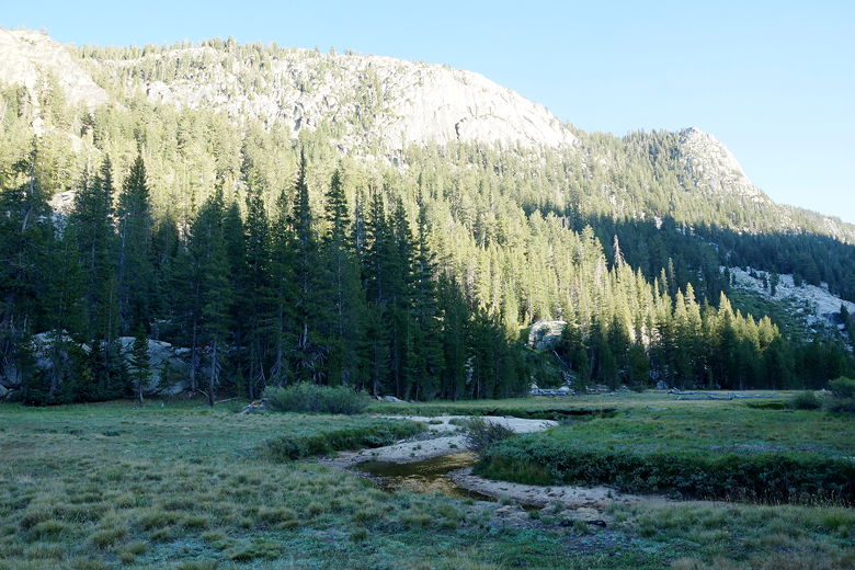
Meadow in Matterhorn Canyon
We'd made it one more day, but we were still short on food, and we had perhaps the longest day ahead of us tomorrow.
| 

