|
We've hiked in so many places in the Bay Area that it's hard to find hikes in parks
we haven't done. We decided to spend one afternoon hiking in couple of city parks
in the city of San Carlos. Eaton and Big Canyon Parks are small parks separated
by Brittan Avenue.
Eaton Park has four entrances throughout the neighborhood (at Brittan Ave., Tramanto Drive,
Eaton Ave., and Loma Drive). We started at the
Eaton Ave. entrance. The trail starts out as a wide dirt fire road, climbing
steadily from the start. The trail here is mostly shaded, which was nice since it
was quite warm on this spring afternoon.
After just a couple minutes we reached a trail marker (not really a sign) and turned right.
We crossed the top of an
exposed metal pipe. The trail becomes singletrack and switchbacks up the hillside.
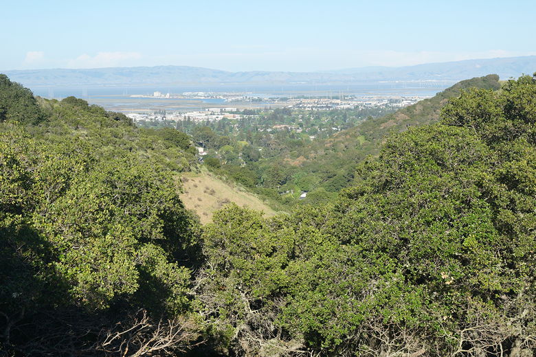
As we climbed, we started to have views to our right of Palo Alto and Redwood City,
the bay itself, and the mountains on the Fremont side.
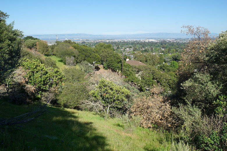
View from the first climb near Eaton Ave.
Looking out toward Redwood City and Palo Alto
We reached another fire road and turned left onto the road. The trail is now
unshaded as it climbs a bit more. At another trail marker, we turned right onto
the single track as it re-enters the shade and starts to level off and then descend.
The trail is basically entirely in shade at this point. We encountered an
occasional person walking in the opposite direction. Probably locals. We could
soon see and hear traffic from Brittan Ave. below us to the right. We kept going
straight on the trail, passing a couple of right turns that would have taken us
back toward our trailhead. Eventually we reached a short trail to the right that
descended a series of steep wooden steps between two houses to Brittan Ave.
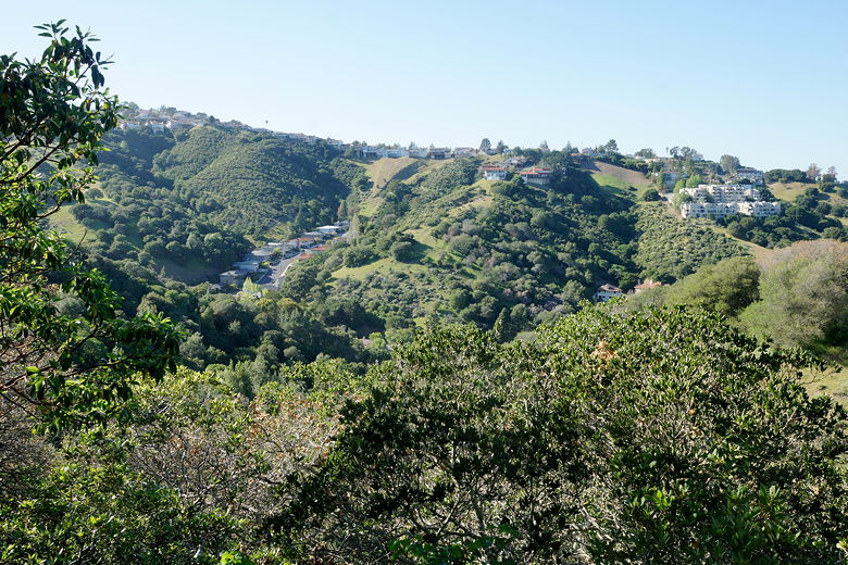
Hillside homes across Brittan Ave.
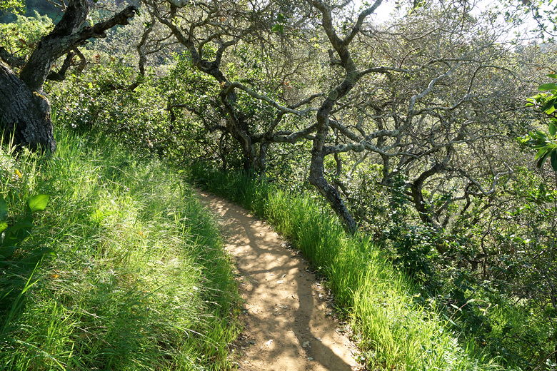
On the trail
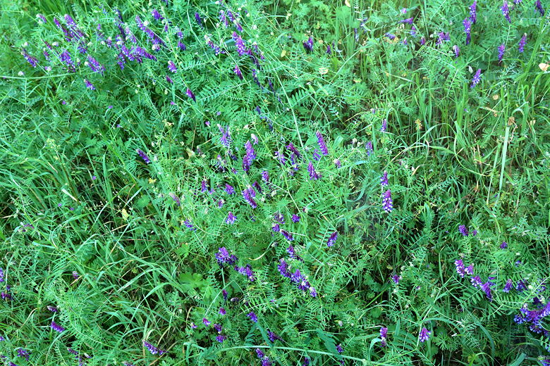
Flowers next to the trail
Emerging onto the street, we carefully crossed Brittan Ave. to reach Big Canyon
Park on the other side. We passed a group of people hanging out here at a picnic
table. Soon we saw a sign on our left saying "Start of Trail". We'd later find
out that there was a matching sign on our right that we had missed. You can take
either path, as they form a loop. We'd end up starting on the left portion of the
loop.
We climbed the single track in the shade, passing a dry creek bed along the way.
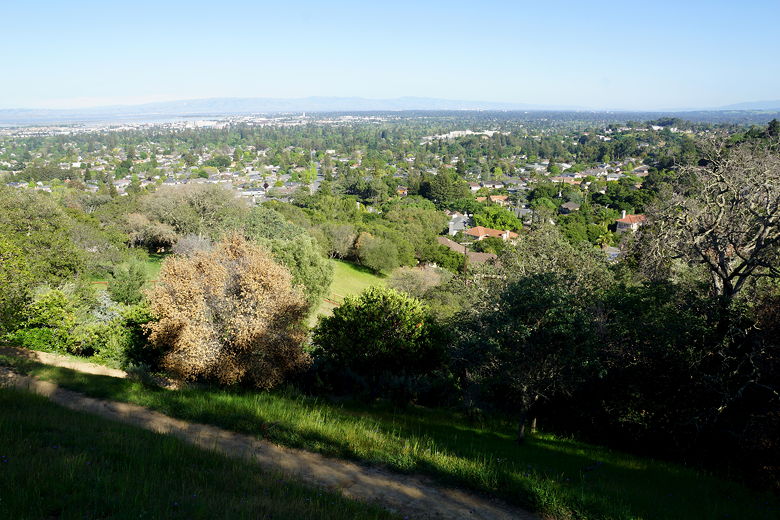
We soon reached a bench just below a water tower. From here we had some decent views
looking toward the bay. We stopped here briefly for a break.
View from Big Canyon Park
Returning to the trail, we went back down a bit and continued along the loop trail.
The trail eventually crosses the canyon, emerges from the shade, and starts a descent
back to the park entrance. We kept to the right, ignoring a couple intersections
on the left. Those would lead to the eastern part of Big Canyon Park.
Soon enough we were back at the start of the Big Canyon loop. We carefully crossed
back over Brittan Ave., went up the steep staircase, and returned to the trailhead
the same way we had come.
| 

