|
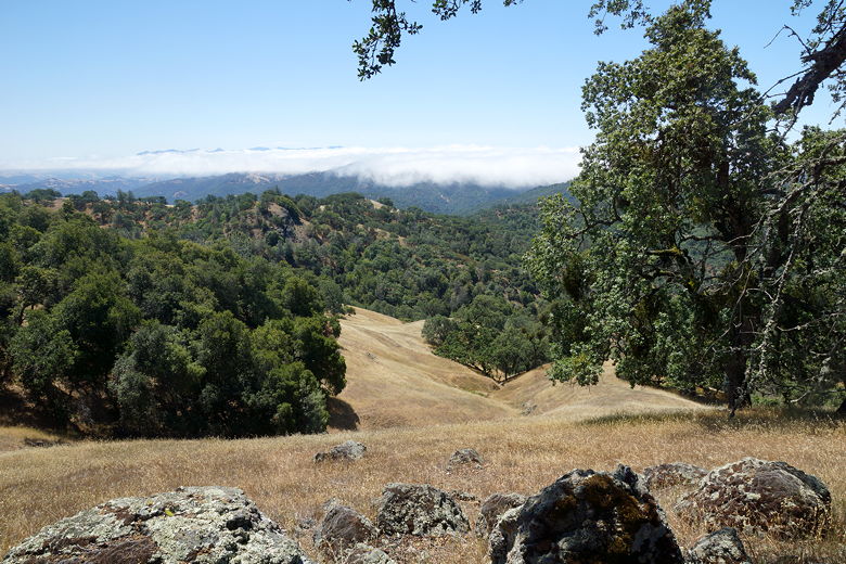
I could hear folks in the distance breaking camp, but I had no desire to do so
myself. Condensation formed on the tree near us and dropped water onto our
tent fly. But I could tell the sun wasn't out yet. I finally poked my head
out of the tent at 8am to find the area enshrouded in fog. I couldn't even
see the lake below. Eventually, by around 8:30am it had thinned enough that I
could tell most of the tents below were gone.
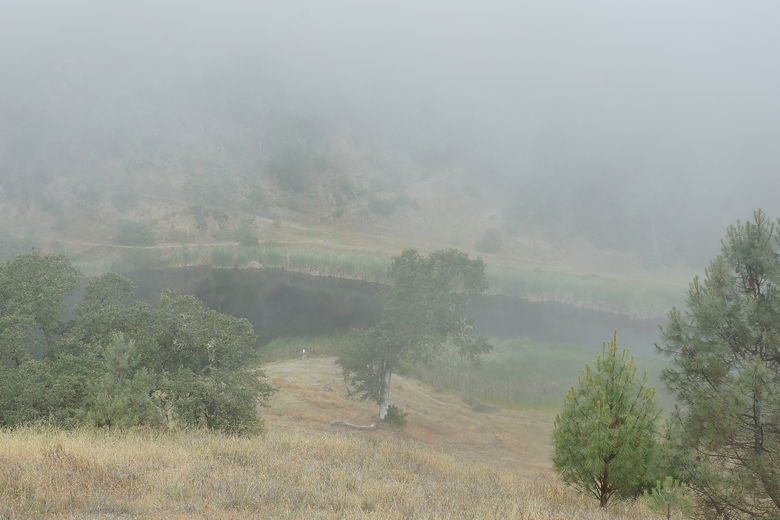
Kelly Lake in morning fog
There were still a few people left around 10am, but by the time we left
at nearly 10:30am, we were probably the last ones at the lake. Most of them
had appeared to head out the way we had come in the previous afternoon. We'd
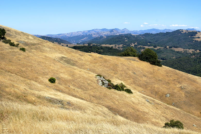
be heading the opposite, slightly harder direction. We walked next to the reeds
along the southeastern shore. The trail broke out into the open and then
turned left and seemingly went up a cliff. Okay, not a cliff, but probably more
than a 25% grade. At least we knew this would be the bulk of the climbing on the
day - about 700 feet to start the day, followed by rolling hills and mostly
downhill.
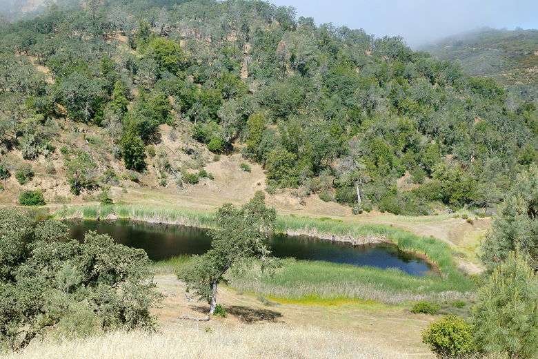
Kelly Lake from our campsite
Kelly Lake
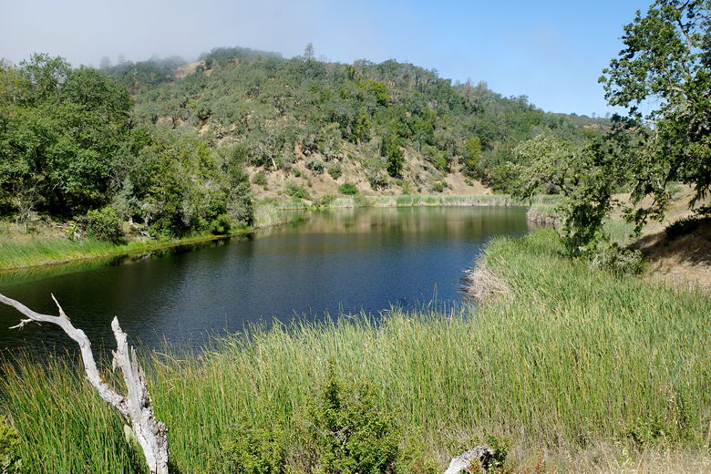
Heading to the southern end of Kelly Lake
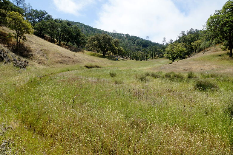
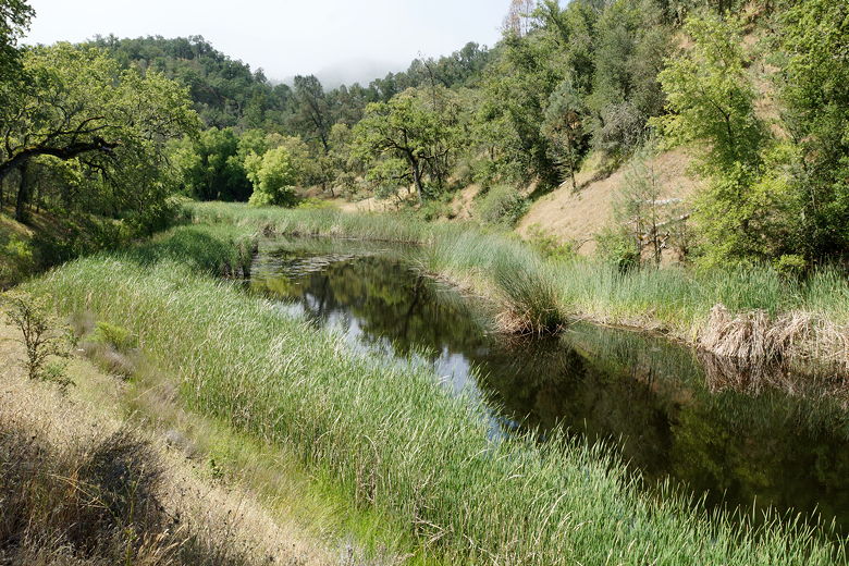
Grasses at the end of Kelly Lake
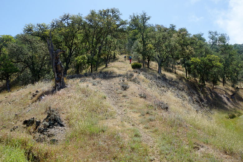
Beginning the steep climb up the Kelly Lake Trail
About 300 feet up, the grade started to ease to normalcy (maybe 5-10% grade).
I began to wonder if I had miscalculated and we wouldn't be doing as much climbing
as I thought. Those notions were quickly dispelled as we reached a crest and
then immediately started climbing steeply again.
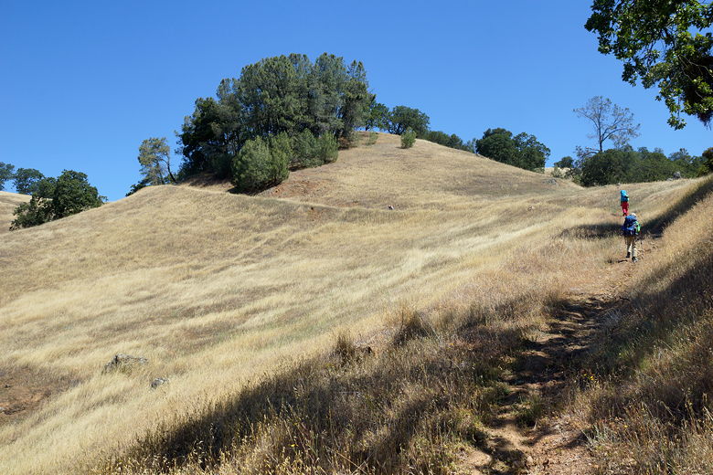
Continuing the climb
Looking back down at the climb
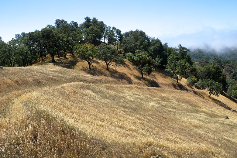
It was noticeably warmer today, the fog having burned off soon after we started
hiking today. We finished the rest of the climb, turned right onto the Willow Ridge Crest trail,
then immediately stopped for a break. We had great views of the fog flowing over the tops of
the mountains to the southwest.
View of the fog from the top
Back on the trail, we encountered our first mountain biker on the trip, coming up toward us.
The trail is a wide dirt road, making it inviting for mountain bikers (though they have to
deal with the same tough grades that we do). We turned right onto Wagon Road and started
a mostly gradual descent.
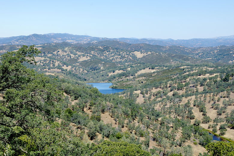
Coit Lake as seen from Wagon Road
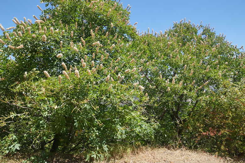
Flowering trees
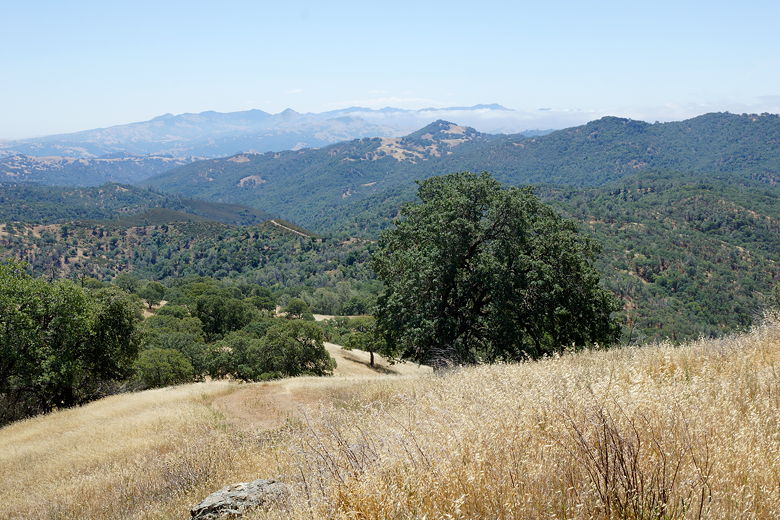
View of the mountains to the southeast
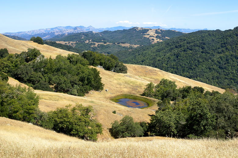
We followed the trail for about 2 miles to a trail intersection near Wasno Pond. There's
a bathroom here - they've built them near most camping spots. Wasno Pond isn't easily
visible from the trail, but if you walk over to the pond access trail, you'll see it
far below.
The trail sign at the intersection says 2.5 miles to Wilson Camp, and 6.0 miles to
Hunting Hollow. So after a snack break we continued down the Wagon Road. We didn't
see any other hikers, though we did see a small snake on the trail and some pretty
wildflowers. We had great views of the mountains to the southeast. There were a few
short climbs, though nothing more than about 100 or so feet at a time. It would all add up
during the day, though, to a surprising 1520 feet of climbing.
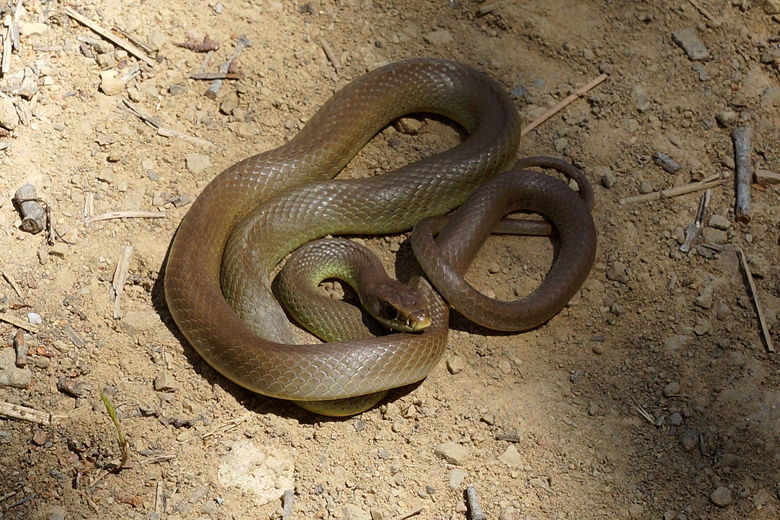
Snake on the trail
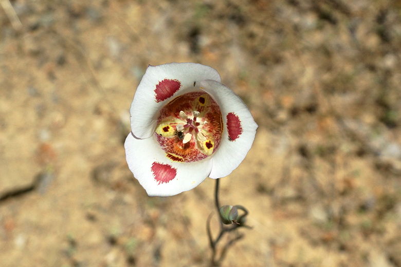
Flower next to the trail
After 1.5 miles, we reached the next major landmark - Rodeo Pond. There's another bathroom here. The pond sits in
a small depression among wide-open fields. Doesn't look like the most inviting place to
camp. We continued on the Wagon Road for another 0.8 miles to the next intersection.
The Vasquez Road trail led to the left. The Wilson Ridge Trail led back to the right, toward
Wilson Peak. Now, my original plan was to actually take the Wilson Ridge Trail since it would be the
most direct route back to the parking lot. However, the trail sign said to continue
past Wilson Camp to Hunting Hollow 3 miles away. So I made the mistake of not checking the
map and just blindly followed the sign to Hunting Hollow.
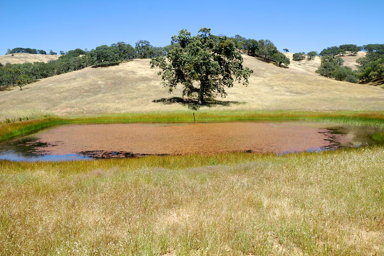
Rodeo Pond
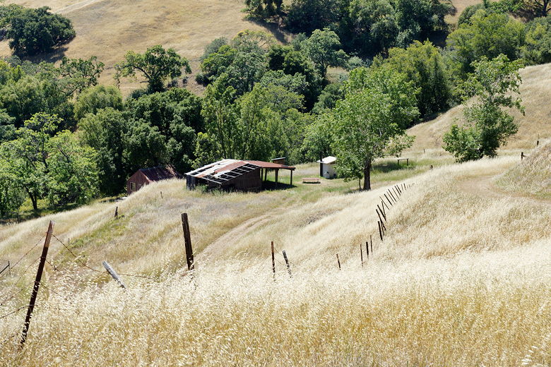
Wilson Camp
So we passed Wilson Camp; we could see it to our right, down below - a couple old farm buildings
and a newer bathroom. We stayed on the Wagon Road, which starts to descend. About 10
minutes after we'd passed the Wilson Ridge Trail intersection and before we started a steep
downhill section, I started getting suspicious of the route we were taking. I pulled out
the map and verified that the route we were taking would end up costing us more than 2
extra miles plus extra climbing.
I suspect that when the trail sign says "3.0 miles to
Hunting Hollow" it really means "3.0 miles to Hunting Hollow Road", which is a completely
different thing than Hunting Hollow Entrance. I'm sure I'm not the first person to fall
victim to this little distinction. In any case, we hadn't gone too far yet, so we backtracked
to Wilson Camp. Instead of going all the way back to the intersection, I figured we'd take
the Bowl Trail, which leaves from
Wilson Camp. It wasn't very well-signed, though. We took a dead-end road near one of the
buildings before finding the sign for the Bowl Trail sort of near the bathroom.
In all, our little detour probably cost us about 20 minutes. Relieved to be back on track,
we took the narrow Bowl Trail, which is pretty flat. It starts out in the shade but
shortly breaks out into the open, with sweeping views of the surrounding mountains.
After about a mile we turned left to continue on the Wilson Ridge Trail, the trail
we would have been on had we taken the planned route.
View from the Bowl Trail
View of unnamed pond from the Bowl Trail
It's pretty much all downhill from here. Well, there's still a bit of flat trail, but
then it starts descending, and then it starts descending steeply. A second biker
passed us on this section of trail, only the 2nd (and final) person we'd see on the trail
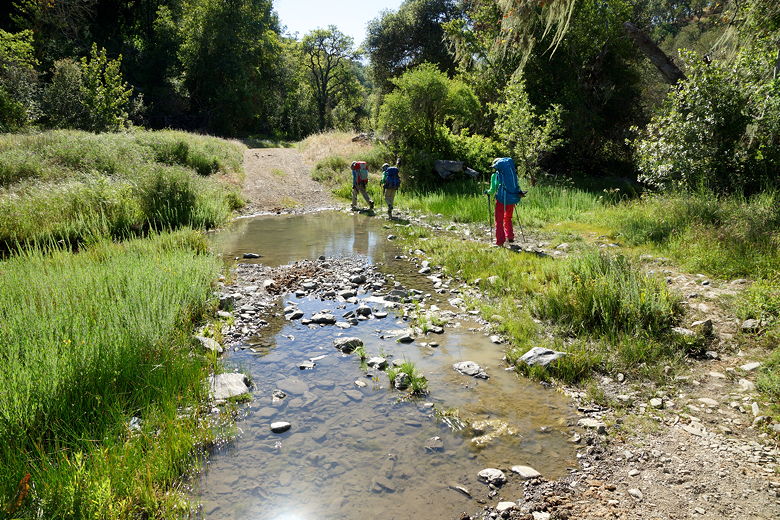
today. We sped downhill, turned left onto Middle Steer Ridge Trail, then immediately
right onto Hunting Hollow Road. This is a wide dirt and gravel road that parallels
the creek. It's pretty flat at this point and was flooded over in a couple places.
It was easy enough to follow some use trails onto rocks around the flooded sections.
Hunting Hollow Road
We arrived back at the parking lot just before 5pm, where most of the cars were now
gone. Still, though, even at this late hour we could see someone else in the parking
lot getting ready to head out backpacking. Perhaps they were headed out to Redfern Pond
(less than 4 miles from the trailhead).
| 

