|
We decided to take a short hike in the Water Dog Lake area of Belmont.
There was only one other car in the small parking area on this Friday
afternoon. It had been rather hot earlier in the day, but it cooled
down quite a bit and the trail is mostly shaded.
We started off down the Lake Road Trail, which is a wide dirt road.
The trail starts in a residential area, and you are never far away
from houses. They are often visible right next to the trail, though
usually a steep climb up. The park is fairly popular with mountain bikers,
so expect to see some on the trails, though they seem pretty
courteous from what we saw.
After a very gradual descent of just under a mile, we reached the
unimpressive murky green waters of Water Dog Lake. There's an
earthen dam on the east side which you walk across to access trails
on the other side (alternatively, there's a loop trail around the lake
that you can take).
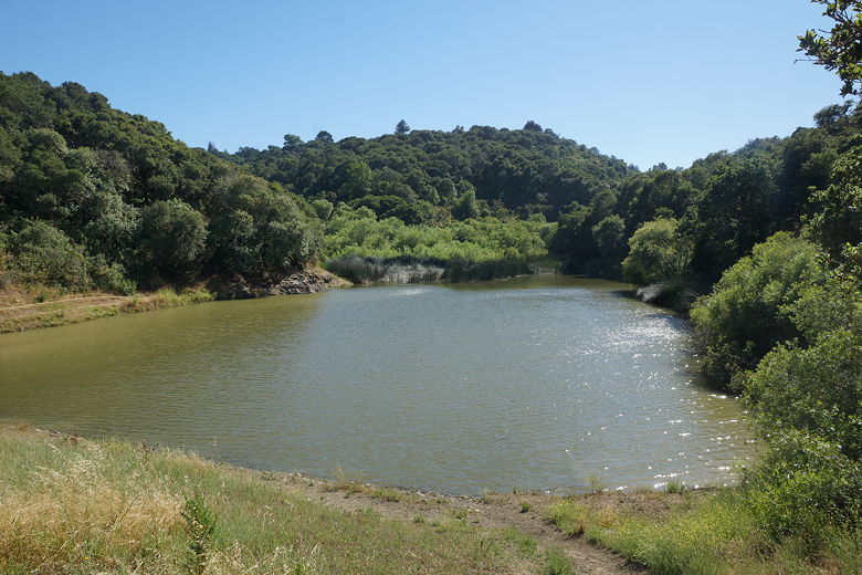
Water Dog Lake
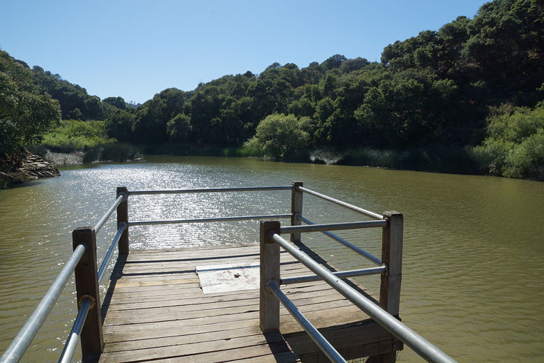
Small pier on Water Dog Lake
We held onto our hats as the wind picked up near the lake. After a brief
break near the shore, we continued onto the Berry Trail as it climbs
up to the south of the reservoir. We saw a rusted old car in the forest
next to the trail, then an unsigned trail leading down to the left. I
thought this was the Chaparral Trail so we turned left and headed steeply
downhill. Unfortunately, after heading down about two tenths of a mile,
I realized this wasn't the Chaparral Trail. Instead, it was headed
toward apartment complexes on Carlmont Drive.
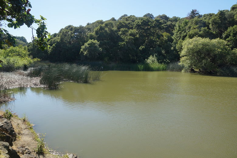
Water Dog Lake
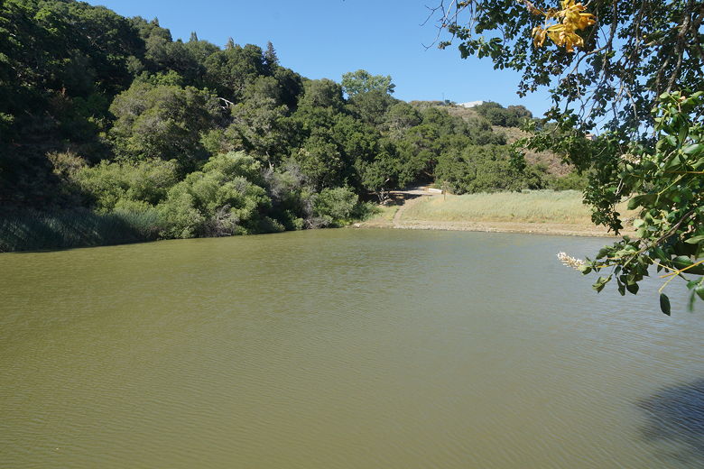
Water Dog Lake
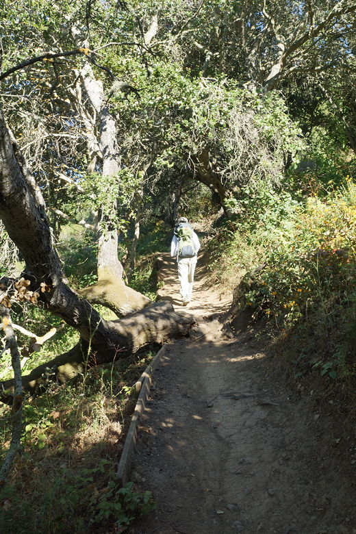
Heading up the Berry Trail
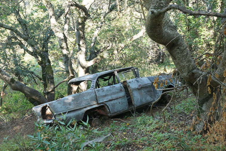
Old car next to Berry Trail
We backtracked steeply back up to the trail, then continued on the
Berry Trail. Shortly, we came to an intersection with the John Brooks
Trail heading to the left and right. We turned left and soon came to
an intersection with the Chaparrel Trail. A this point, we turned
around and headed back along the John Brooks Trail.
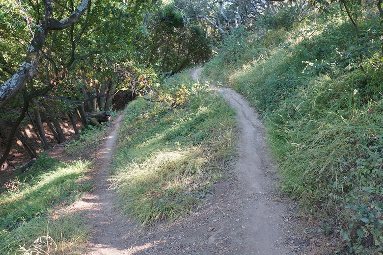
John Brooks Trail
We stayed on the John Brooks Trail, which is a wide dirt road in most
(though not all) places. We passed the Berry Trail intersection, keeping to the left.
The trail follows the Wakefield Drive residential area. There aren't much in the way
of views on this hike. If you're in the area, though, it's kind of neat
finding this much open space in the middle of a residential area.
Soon we found ourselves ascending the final section of trail back to the parking
area.
| 

