|
One of the reasons we didn't mind not camping at Evolution Lake was that we
had done it before. While it was pretty, we didn't miss the crowds this time.
Still, we knew we had a long day ahead of us. It was cold in the morning, though,
which meant we took a little longer to get ready, finally hitting the
trail at 9:18am.
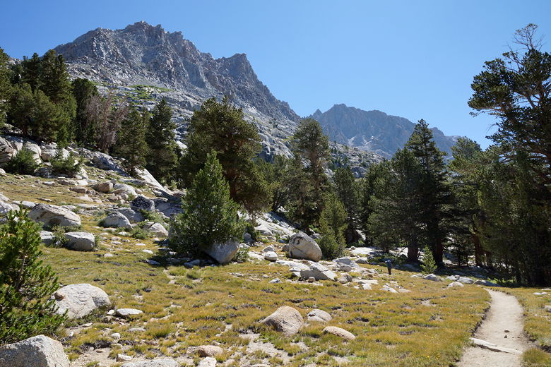
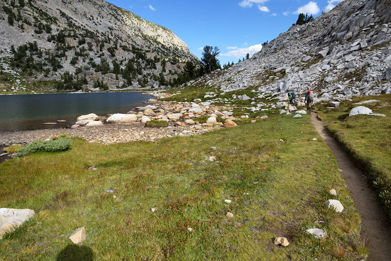
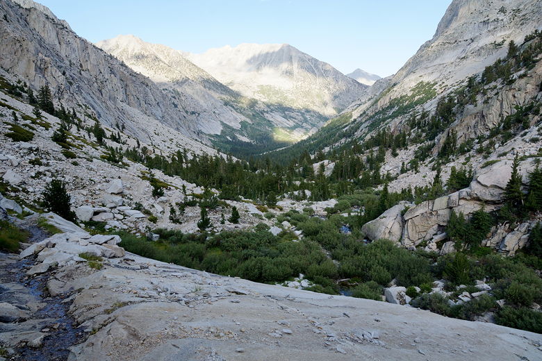
It was only about 20 minutes before we crossed the creek near the last
campsites before the climb up to Evolution Lake. Just after passing the
10,000 foot sign (no campfires above the sign), we started up the switchbacks
through the forest. Since it was morning, it was cooler and the switchbacks
weren't too bad, climbing about 850 feet. We reached the top at 10:30am.
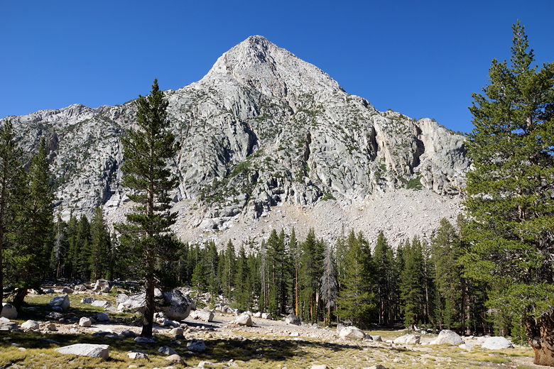
View on the climb to Evolution Lake
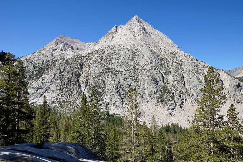
View on the climb to Evolution Lake
View to the west on the climb to Evolution Lake
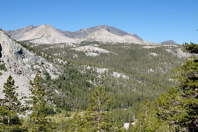
View from the top of the switchbacks
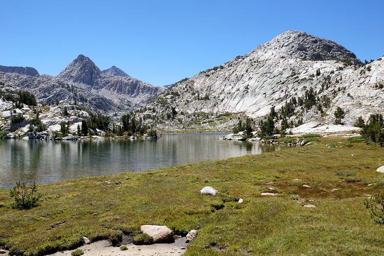
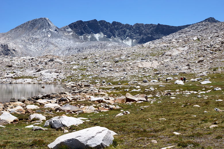
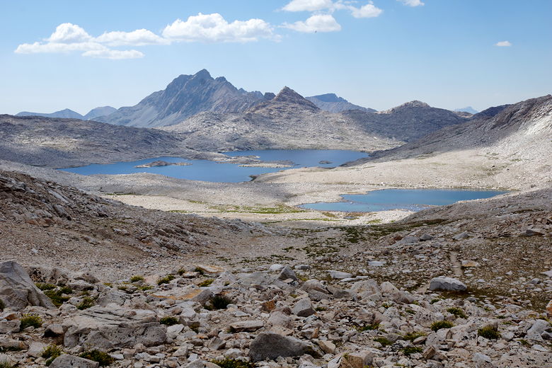
After a 25 minute break just past the switchbacks, we continued on to Evolution
Lake, where we arrived at about 11:20am. While I'm sure there were lots of
campers there the previous night, it was now deserted. It also looked less
appealing in the harsh late morning light. We followed the trail as it climbed
up and down along the eastern shore of the long lake. I was only mildly
annoyed that the trail went up and then down 3 times before reaching the
inlet stream. This section along the lake seemed to take longer than it should.
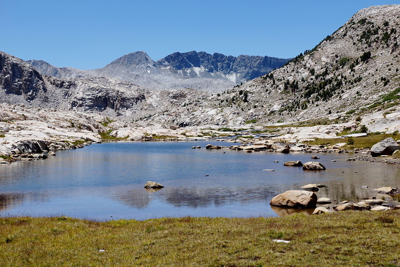
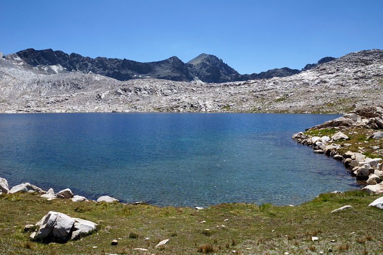
Heading toward Evolution Lake
Evolution Lake
Evolution Lake
Evolution Lake
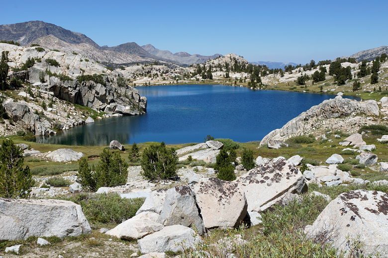
Evolution Lake
View looking south across Evolution Lake
Evolution Lake
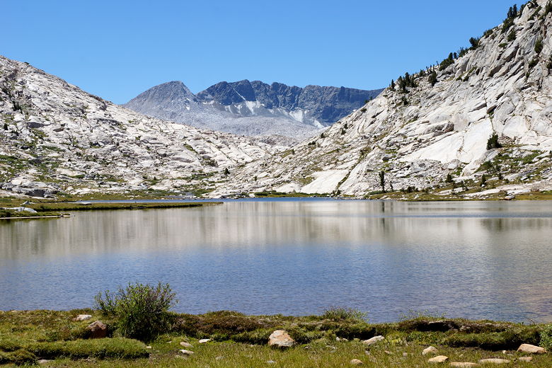
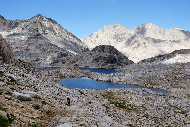
We rock-hopped across the inlet stream, then climbed up past some streams to
Sapphire Lake. We passed a few hikers resting near the streams. We stopped
at Sapphire for a food break, noting that there didn't seem to be many
campsites here. (One of our ideas had been to hike past Evolution Lake
the previous afternoon and camp at Sapphire).
Crossing Evolution Lake inlet stream
Pond above Evolution Lake
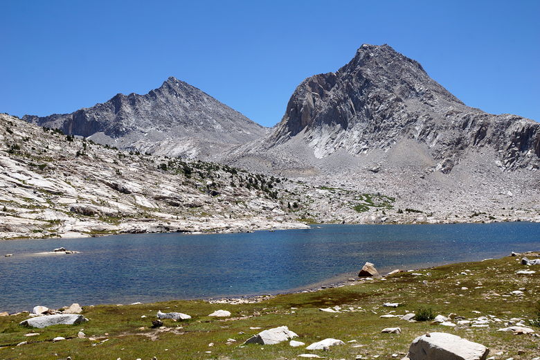
Sapphire Lake
Sapphire Lake
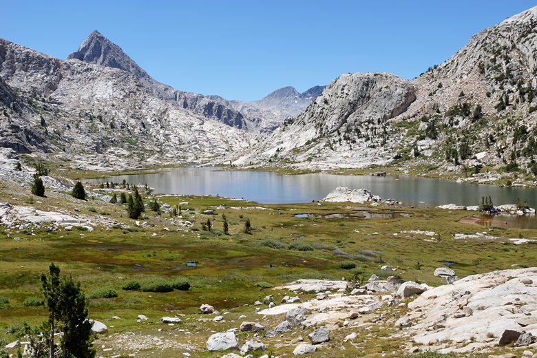
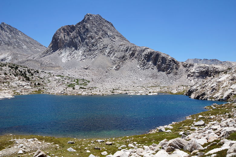
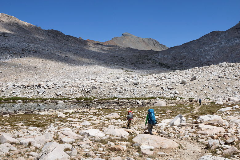
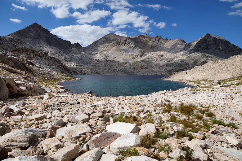
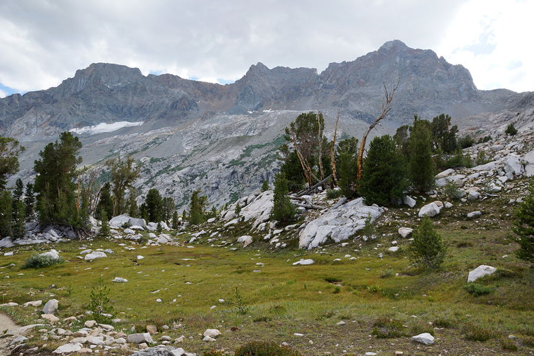
We left Sapphire Lake at 1:10pm, climbing up to an unamed lake and then on to
large Wanda Lake. When we had hiked next to Wanda Lake last time, the kids
were lucky enough to see a frog right next to them, on a rock in the water.
There was no such luck this time; unfortunately, I have since heard that a
fungus is causing
a massive die-off of the frogs. The whole Evolution Valley didn't seem to
have quite the same magic as last time. Perhaps it was just that we'd been
there before and I was uninspired to take a lot of pictures, having done so
already in the past.
Climbing toward Wanda Lake
Wanda Lake
We passed much smaller Lake McDermand, seeing the hut high above in the
process. As we passed the lake, the sun disappeared behind some clouds.
This was a welcome event, as it meant the climb was much cooler than it
could have been. We reached the hut at about 3:15pm. The one thing I
immediately noticed about the hut was a string of prayer flags above the
door. They had not been there in 2013. Other than that, the hut was much
the same. One door, one window, and a bricked up fire place.
Approaching Lake McDermand
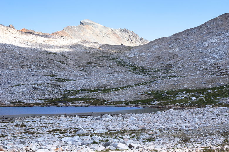
Lake McDermand; hut is visible high above
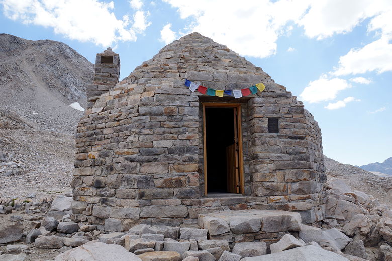
Muir Hut
There were 6 people in the hut when we arrived. Most of them left and I
went in to find a couple remaining, getting ready to descend. I took their
picture in front of the hut and then they left just before us, heading in
the same direction. We would play leap frog with them for a while.
Looking back down at Lake McDermand and Wanda Lake
We left the hut at 3:50pm, knowing we had more than 6 miles of descent to reach
our campsite. I figured we could make it by 7pm if we didn't stop. Our
goal was to camp at the shark camp (where a large rock has smaller rocks arranged
like a shark's teeth), or perhaps in the hidden campite
we had stayed at last time, just before Big Pete Meadow.
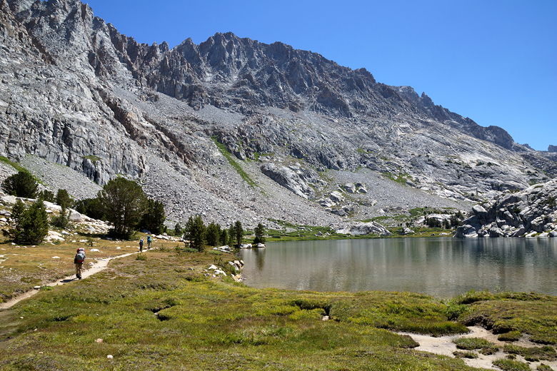
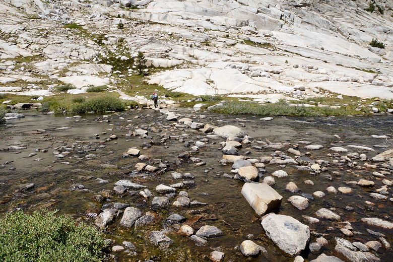
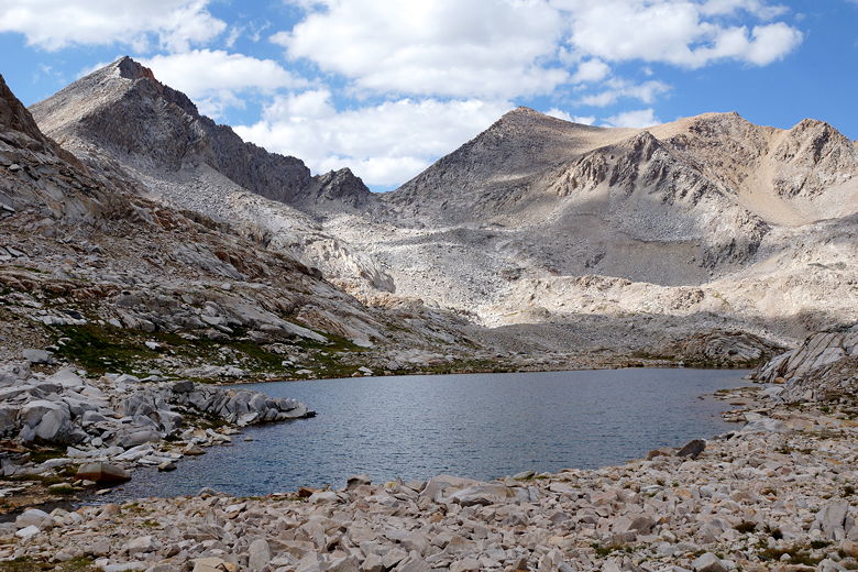
The descent is easy down to the first little unnamed lake. Then there's a tiny
bit of uphill before descending to Helen Lake. When crossing the lake's
outlet stream, we knew from past experience to stay on the left side of the
stream. There's a visible use trail on the right side, but we knew that was
not the actual trail.
Descending toward Helen Lake
Helen Lake
Helen Lake
Experience would again come in handy soon after that. After the steep descent along
the outlet stream and then passing another small unnamed lake, the couple
in front of us took a wrong turn and lost the trail. I immediately recognized
this as the same place that we had briefly gone astray two years ago.
I knew the trail went to the left and crossed a stream, and I quickly led
us all back onto the trail.
From here it was just descend, descend, descend. We passed the small unnamed
lake where we'd seen a ranger two years ago. From here I knew it was about
3 miles to Big Pete Meadow. As we descended past Starr Camp and other camping
areas, we saw lots of tents set up, more than we'd seen last time.
Lake next to the trail
Mountain view
We descended with the creek cascading down on our right, wildflowers
visible near us. When we got down to the shark camp, it was
already long occupied. We kept going and started to look for our hidden
camp at about 7:15pm, after 2700 feet of descent.
Descending toward Big Pete Meadow
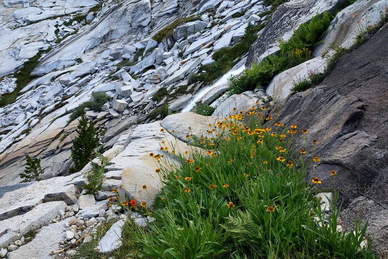
Wildflowers and cascade
Descending toward Big Pete Meadow
Unfortunately for us, we'd somehow already passed our hidden camp, as the
area apparently didn't look familiar enough to us. We spent quite a bit of
time going back and forth trying to find a good site. Some were bad,
some were taken. Eventually we found a use trail to a big horse camp that
was unoccupied. The site is right next to a small meadow that I believe is
part of Big Pete Meadow itself.
The site we found was nice, but the only problem was lots of horse manure
everywhere. It was hard to find a vacant spot to put the tent down, but we
eventually did. When I went to get water from a stream in the meadow, I noticed
a very large camp on the other side of the hill to the south, next to
the creek. In the morning we would find out that it was a CCC camp.
For now, we were just happy to have a good campsite after a long day. We
cleaned up and ate dinner after the sun set, and we were all tired (ok, my
wife and I were tired) from what would be our longest day of the JMT
(15 miles in just over 10 hours). But
the weather was good, we were dry, we had a good site, and we'd sleep and
recover for the next day.
| 

