John Muir Trail |
Day 3 of 22
I didn't sleep much last night. Since we didn't have the rain fly on, I heard
every little sound outside, and every squirrel or bird moving in the middle of the
night had me looking around outside, trying to see what it was. Plus, one of my
sons was snoring (it's about time we got separate tents). But come 6:25am, I
dragged myself out of the tent and by
8:50am we were on the trail.
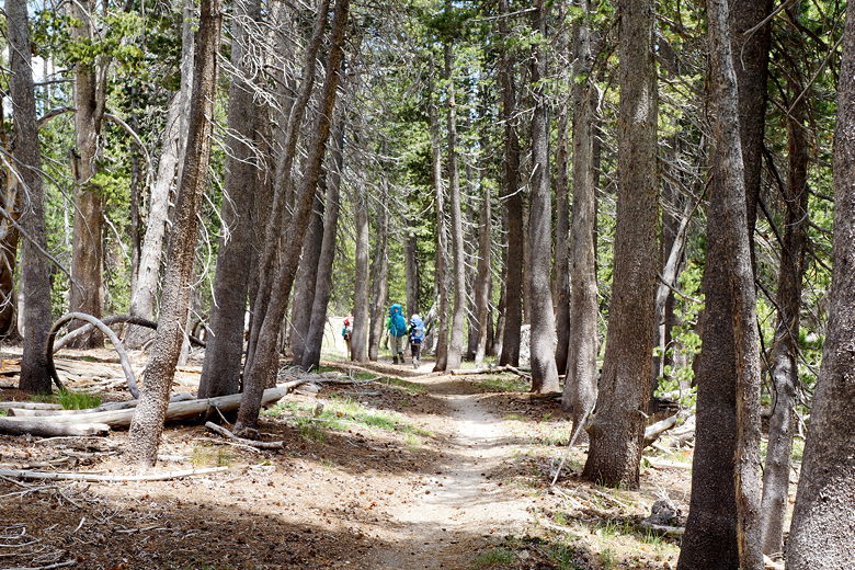
I was a bit surprised that when we started hiking today, we almost immediately
ran into some backpackers coming down from Sunrise camp. They must have started
early. We'd see a few others
throughout the day, but not a lot. Thankfully, temperatures were cooler today and
we were able to make pretty good progress.
We saw the same couple that we'd seen yesterday (they'd camped closer to the
junction, near the initial stream crossing). We played leap frog with them for
a while. They said they would probably camp at Sunrise, but possibly Upper
Cathedral Lake if they could make it. Our goal for the day was Upper Cathedral
Lake. The ranger who had given us our permit had told us that we could camp at
Upper Cathedral but not Lower Cathedral Lake. I found this strange, since I know
I've seen tents at Lower Cathedral, and from what I've read it is allowed there (or
at least a ban is not enforced).
In any case, Jean and I had been to Lower Cathedral before and weren't interested
in the small detour that would entail (it's a half mile off the JMT). Still,
that would be a fallback if there weren't any good sites remaining at Upper
Cathedral.
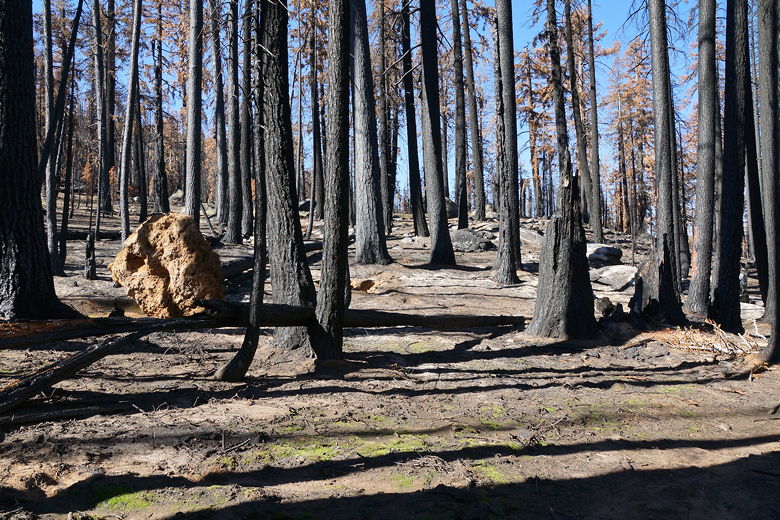
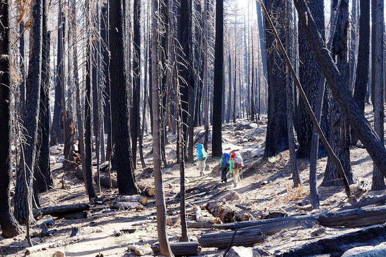
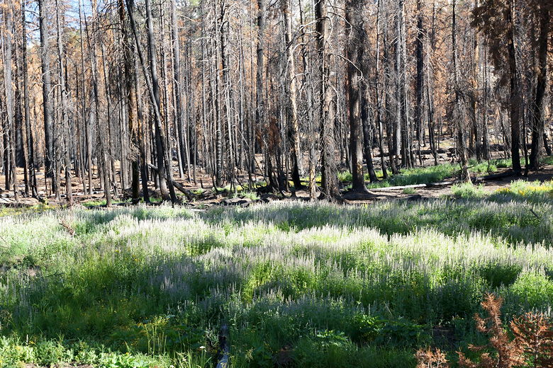
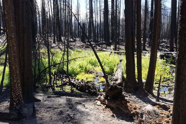
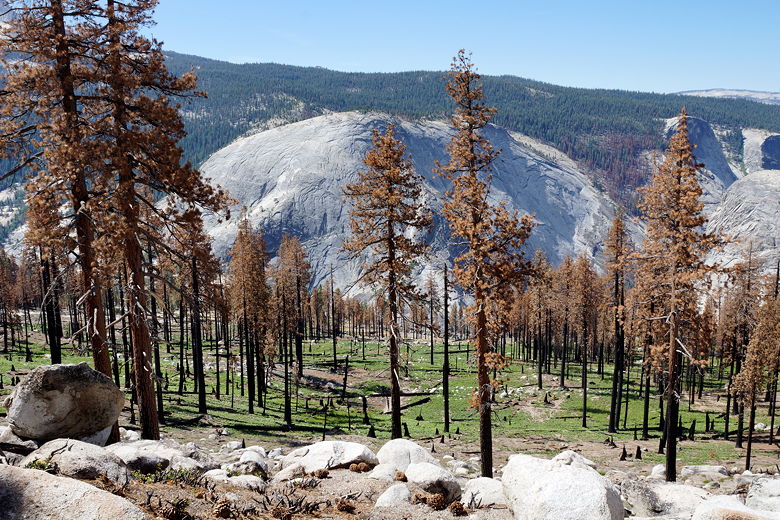
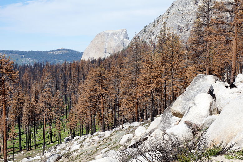
Burned area Hiking through the burned area Signs of life returning to the burned area Signs of life returning to the burned area
The trail climbs and climbs. We passed through the burned area, crossing the creek,
then later starting to see signs of life returning to the area. The climb was
fairly gradual. After about 1.2 miles, we came to an intersection, turned left, then
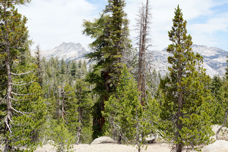
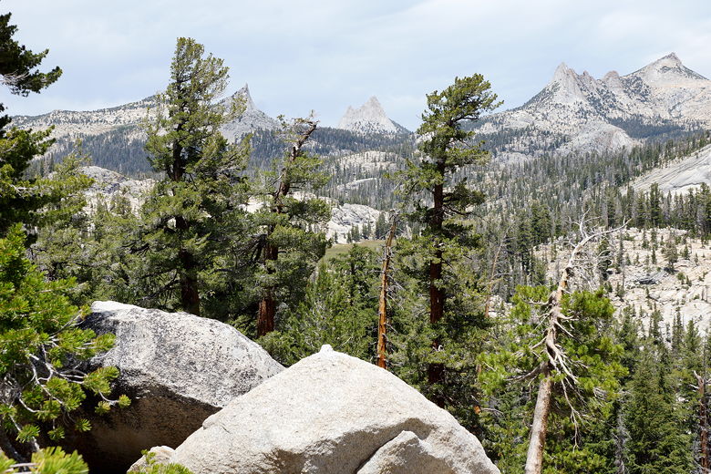
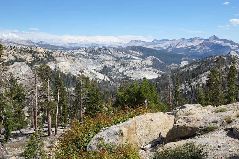
immediately right to stay on the JMT. We quickly gained some awesome views of the
surrounding area. The cable side of Half Dome was visible to the west, along with
great views to the south.
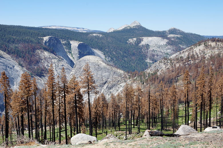
View of the burned forest from the trail Half Dome and burned forest Mountains to the southeast Cascade Cliffs (left), Mount Star King (back), and Moraine Dome (in front of Cascade Cliffs)
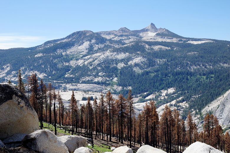
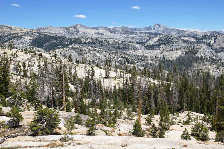
Eventually the views go away and the trail crosses Sunrise Creek again and starts a
steep climb up to 9750 feet that wasn't even dignified with a name on my map.
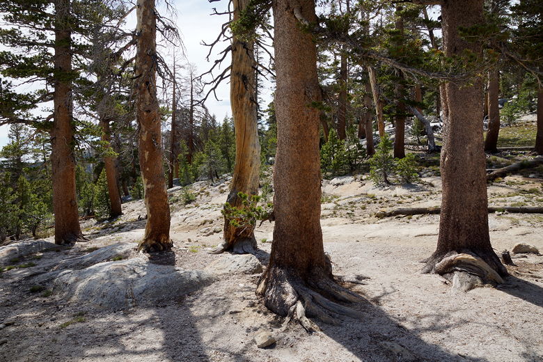
We pushed through all the way to the top without stopping, then took a food break at
the top of the broad summit plateau in open forest.
View from the top
After our break, we started descending toward Sunrise. The trail descends and passes
a meadow on the right, flattens out briefly, then descends some more. Soon enough
we came to a large beautiful meadow which is where Sunrise camp is situated. The trail skirts
the left edge of the meadow, with Sunrise camp to the left (west) of the trail. We could see the
bathrooms and tent cabins up on the hill. Unfortunately it appears the closest bathroom
can't be used by just anyone; you apparently need to be staying in the tent cabins to use
it. There's probably a separate bathroom for those not staying in the tent cabins, though
we didn't stick around long enough to find it.
Meadow on the descent Descending through the forest Mountains to the east Mountains to the east Mountains to the east Meadow at Sunrise Camp
Saturday, July 18th
Clouds Rest Junction to Upper Cathedral Lake
10.4 miles
2970 vertical feet (ascent)
900 vertical feet (descent)
8:17
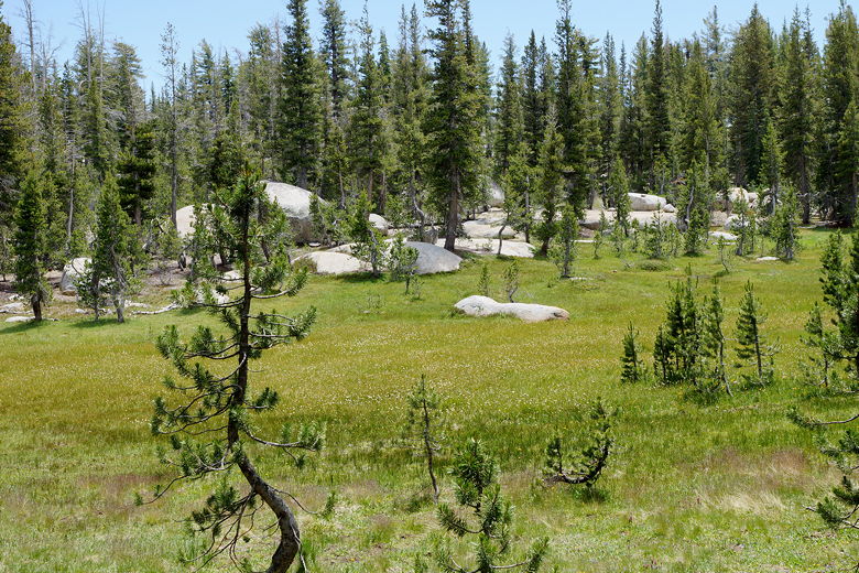

Meadow at Sunrise Camp
After a break here, we continued along the trail. It was getting hot again, but not
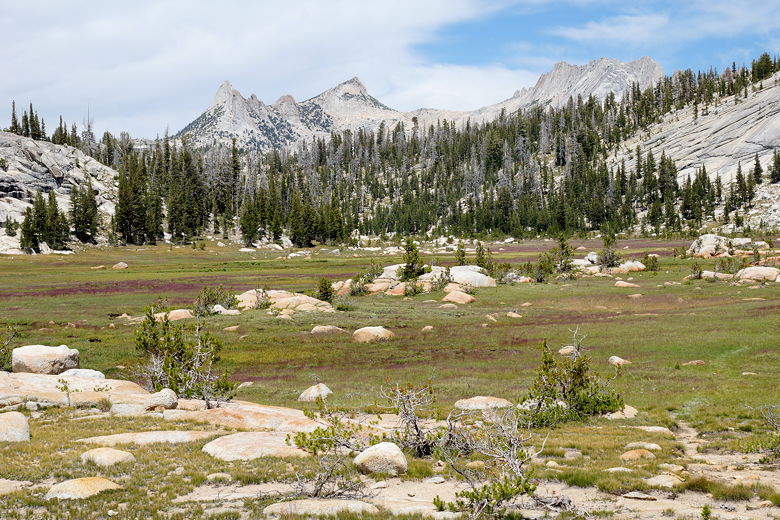
quite as bad as yesterday. The trail passes Long Meadow, then starts to climb
about 600 feet. The highpoint is actually near Columbia Finger, not Cathedral Pass
which comes later (and lower).
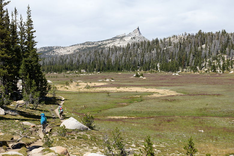
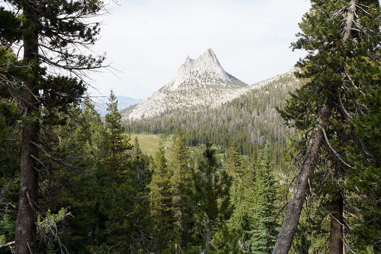
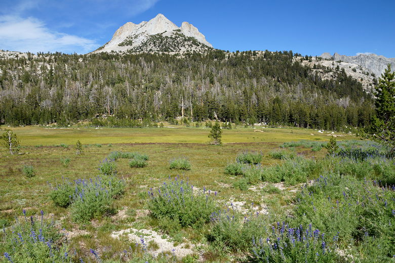
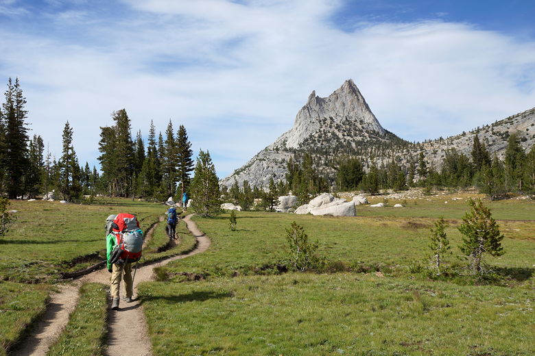
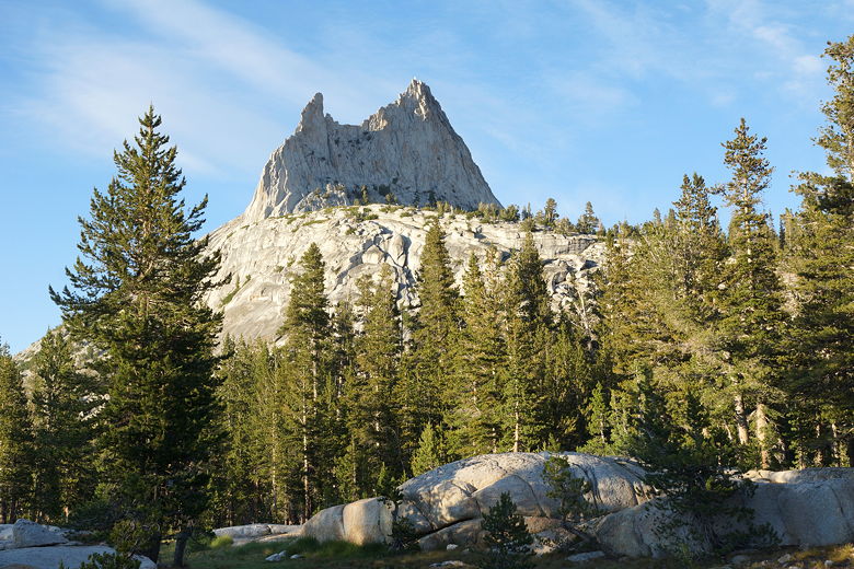
Trail next to the meadow Unicorn Peak Mountains to the east Mountains to the east Forest Cathedral Peak Long Meadow Cathedral Peak
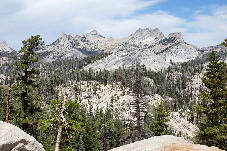
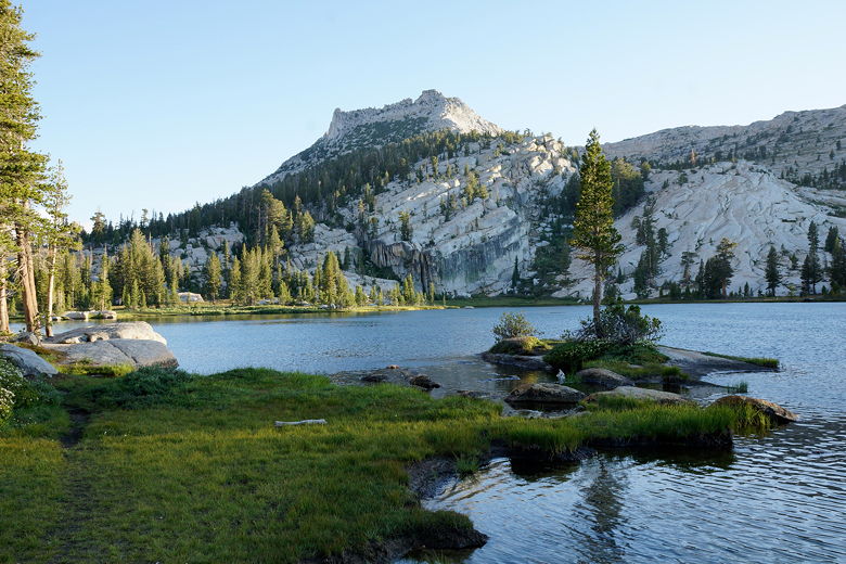
After reaching the top, we started to descend toward Upper Cathedral Lake. As we got
closer to the Cathedral Lake trailhead, we started to see more and more day hikers, most
of them returning toward the trailhead. Soon we could see Upper Cathedral Lake below
and to our left. The trail is routed to the right (east) of a meadow that's next to the lake.
Eventually the trail curves back to the left, and then we found a use trail that leads
to campsites near the northern shore of the lake. There appeared to be lots of campers
at Cathedral Lake, but there are plenty of sites and we found a pretty good one with
a view (although an illegal campsite almost right next to the water somewhat marred
our view).
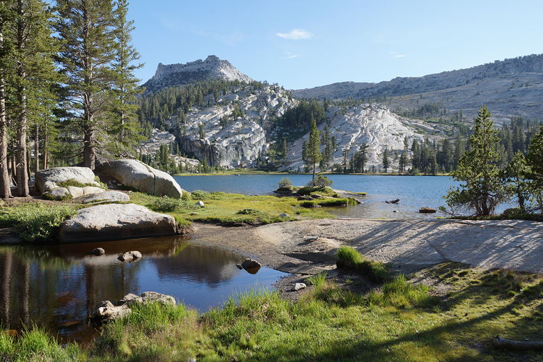
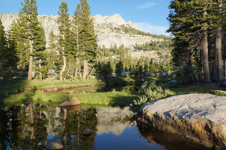
Tressider Peak above Upper Cathedral Lake Mountains to east of Upper Cathedral Lake Tressider Peak above Upper Cathedral Lake
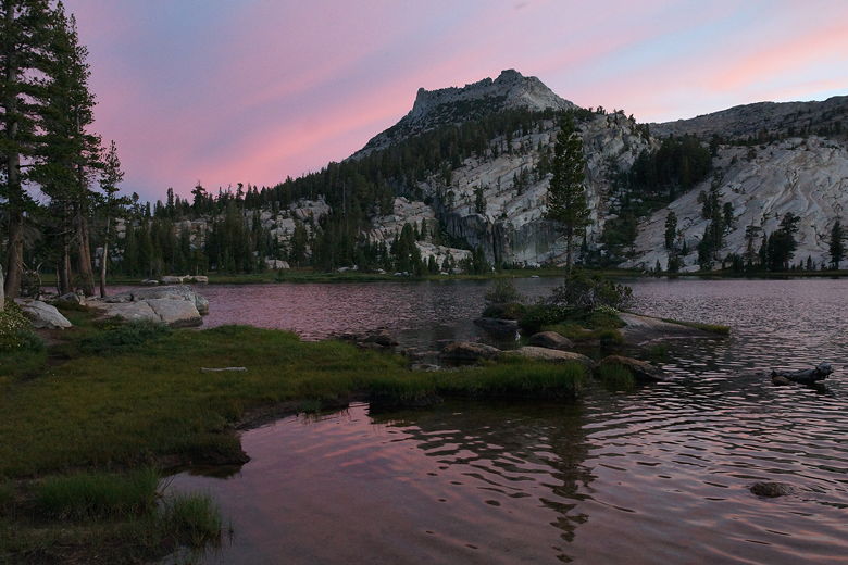
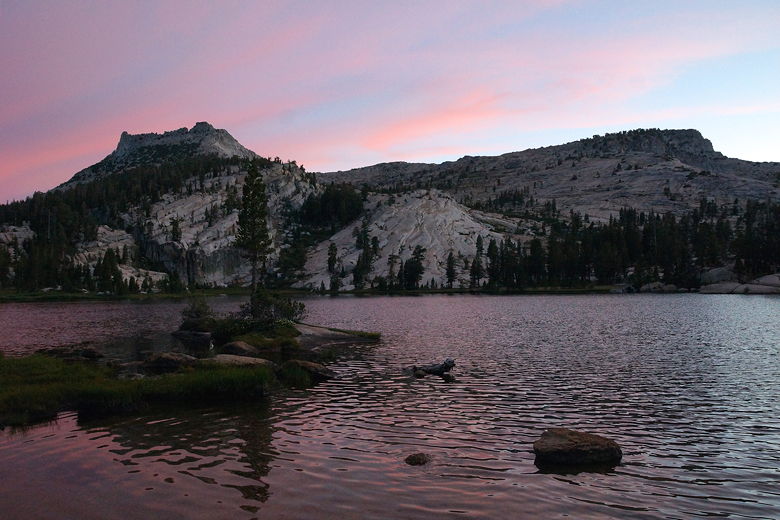
We arrived in camp at 5pm, giving us plenty of time to clean up and have dinner before
it got cold. It was still warm, though the wind would pick up a bit later and cool it
down quickly. After dinner we witnessed a pretty sunset over the lake and noticed a
sliver of a moon appear. We knew that meant we'd have a full moon later in the trip.
Cathedral Peak Tressider Peak above Upper Cathedral Lake at sunset Cathedral Lake sunset
(Click image to view full size)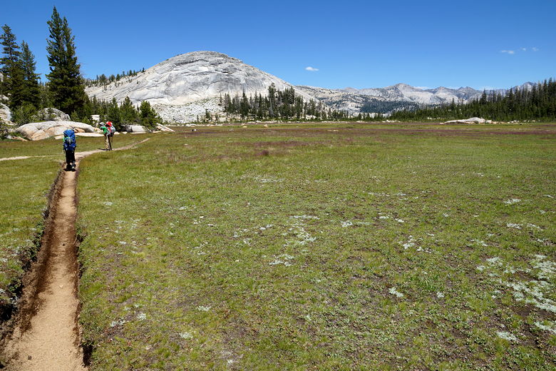

Related Pages:


|

|