|
Today we knew we had a long day of mostly climbing, but at least
we knew the weather forecast was good (0% chance of rain). When
we woke, it was cold and cloudy, but the clouds would go away.
We got started at 9:30am and immediately started climbing
to Upper Crater Meadow. We crossed the creek and
passed wildflowers along the way, then stopped at the non-descript
meadow for a food break.
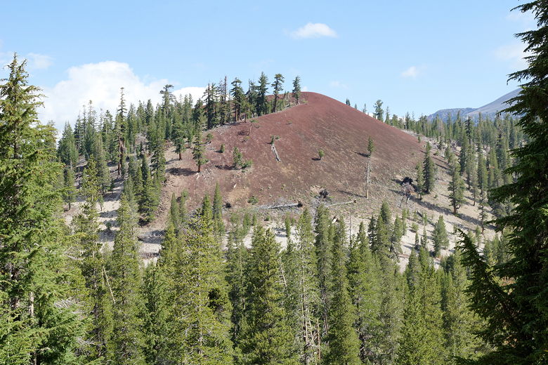
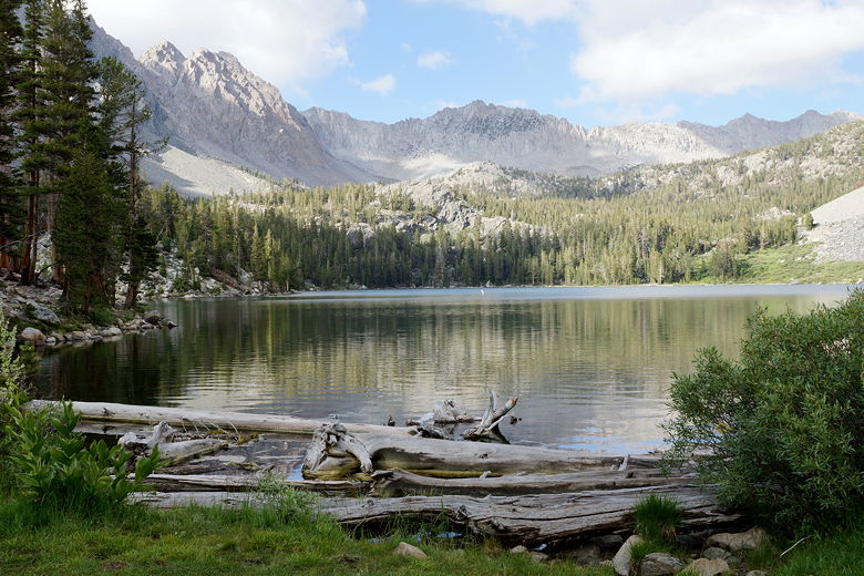
Red Cone near our camp site
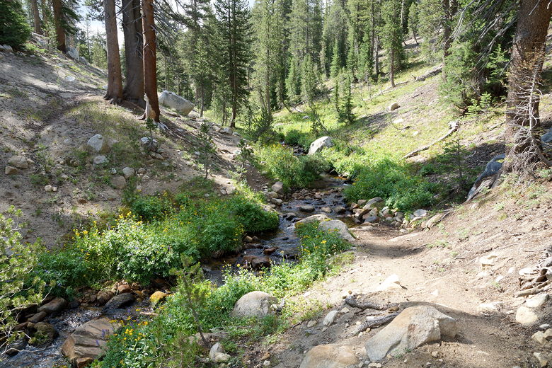
Stream crossing
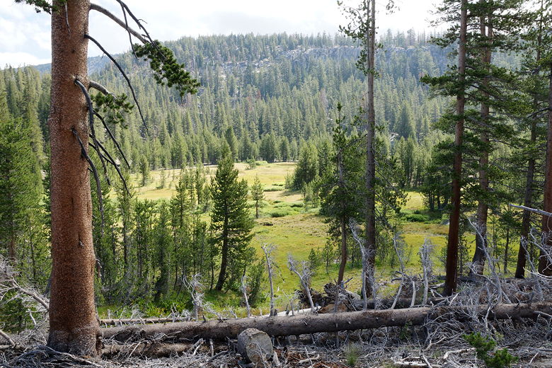
Meadow
After the break, we continued on the trail, which continues to
climb fairly gradually through a mundane forest. After
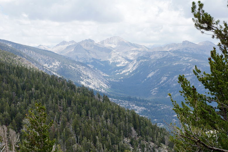
several miles the trail finally begins to emerge from the forest
and presented us with some views of the mountains to the south and west.
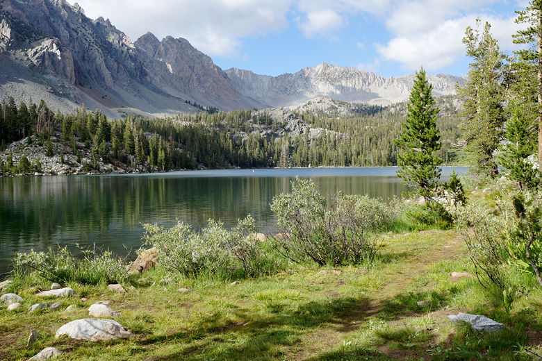
View to the south

View to the south
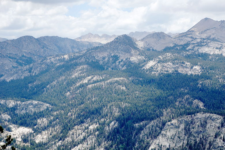
Mountain view
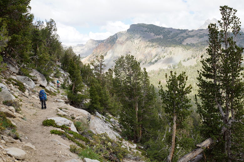
Traversing toward the Duck Lake intersection
Mountain view
After about 6-7 miles, the trail begins to level off, then turns left
away from the views and even starts to go downhill a bit. As we
approached the intersection,
the climbing continues, this time a 250 foot climb up to the Duck Lake
intersection.
As we approached the intersection, a pack of horses and riders descended.
Near the intersection, we were a bit surprised to see one of
Jean's co-worker and his wife resting there. We knew they'd be on the trail about
the same time, but it was still a bit strange to see them there.
Apparently they had camped not too far from us last night, and were planning
to camp at Purple Lake tonight. Our original intent had been to camp at
Purple Lake, but just before we had started from Glacier Point I had seen
an email thread on the JMT Yahoo group saying that Lake Virginia was much better
for camping than Purple Lake. So Lake Virginia was our goal.
First, we had to reach Purple Lake, though. We crossed the creek, climbed up to the
Duck Lake intersection, then started switchbacking up toward Purple Lake
(about 330 feet up). We didn't get far before we ran into the couple from Day 2
again. They had stayed at Reds Meadow but had caught up to us (they'd started from
Reds Meadow around 8:45am, 45 minutes before we left Crater Creek). They were planning
to stay at Purple Lake tonight and were impressed when we told them we were going
to keep going to Lake Virginia.
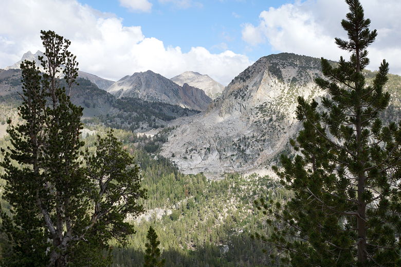
We made the steep climb up, then the descent to Purple Lake. We stopped here for
a food break. There did not appear to be many good campsites here. You also
cannot camp within 300 feet of the lake's outlet. It is a beautiful lake,
though.
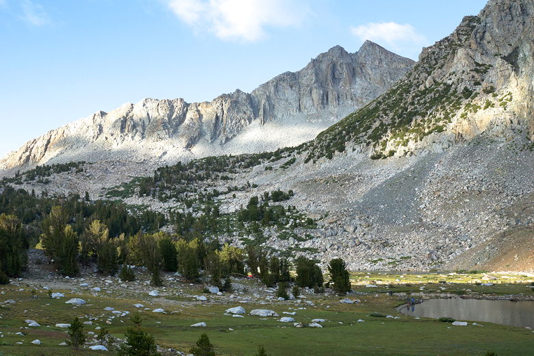
Purple Lake

Purple Lake
After our break we packed up and prepared ourselves for the remaining 600
foot climb up to Lake Virginia. We left Purple Lake just after 5pm, just
as the couple from Day 2 were looking for a campsite at Purple Lake. That
was the last we'd see of them. Then we started the steep climb up. While
steep, it's not too long (about 1.3 miles), and becomes more gradual near
the top (though there is a false summit).
Purple Lake from near the outlet stream
Purple Lake
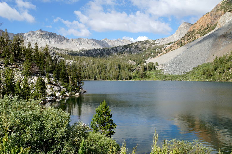
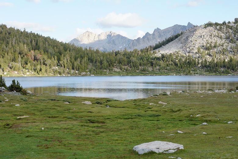
We now descended toward the lake, which is much larger than Purple Lake.
Unforested grasses surround the northwestern part of the lake. As we
descended toward the shore, we could see that pretty much all of the forested
sites nearest to the lake were already taken. There had to be at least 20
tents set up at the lake that night. We backtracked and took the use
trail to the west, toward more sites further away from the water. As we did
so, I got a weird vibe from all the existing campers. They were all eating
their dinner or just resting, and they all looked at us as we passed. It was
like we were walking the gauntlet, with all of them looking at us disapprovingly
thinking "I've got my campsite and you're too late!" (it was 6:20pm). Maybe it was just my
imagination, but my wife got the same vibe. One camper did actually say hello to
us, but all the others seemed stoic.
When we got to the other far-away sites, we found there were actually quite a few
still available. Unfortunately for us there was a horse packer nearby, complete
with industrial cookset, portable outhouse, and half a dozen horses. But we got
a decent site far enough away from them (we thought). It was quite a trek down
to get water, but I could live with that. We had some semblance of privacy and some
nice views nearby.
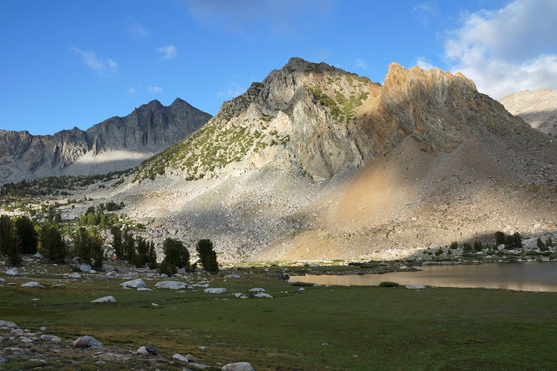
Mountains above Lake Virginia
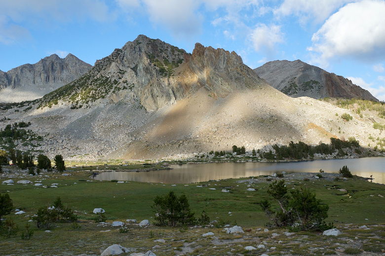
Lake Virginia
After dinner we enjoyed a nice sunset. Around this time the horses started grazing among
the grasses. I hadn't realized this, but they basically allow the horses to roam
freely and graze (owners nowhere in sight). Some of the horses had bells on so you could hear them approach.
This was all fine until one of the horses decided to come right into our dinner
area. He snuck in behind my wife and I had to point it out to her. It looked like
the horse was going to eat or trample all our dinner food and I did my best to shoo
him away (trying not to get trampled myself at the same time). It pretty much didn't
move for a while, but thankfully eventually walked away. We moved our
cooking area closer to the trees after that.
View across Lake Virginia looking southeast
Lake Virginia
It was cold, but the moon was bright and I took some night pictures of the lake.
We went to sleep that night not worried at all about bears but instead worried about
the very real possibility that we'd be trampled to death in our tent by horses.
Either that or they'd at least mess up our clothesline. We would hear them walk by
very closely during the night (twice I think), but thankfully they didn't touch the
tent (or our clothesline). The whole experience was a bit nerve-wracking, though.
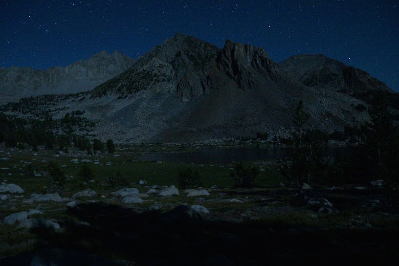
Stars above Lake Virginia
| 

