|
After surviving the horses the previous night, we were happy to leave
Lake Virginia. We left camp at 9:25am, one of the last to leave the
lake that morning. It was sunny, as we knew it would be for a few
days now.
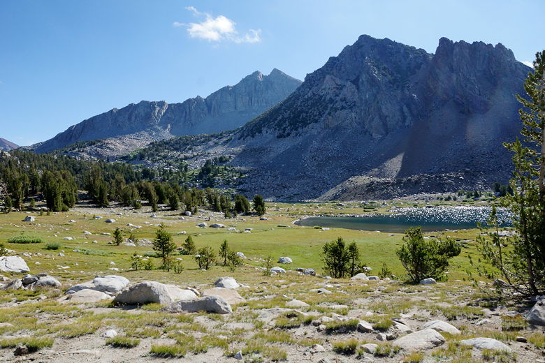
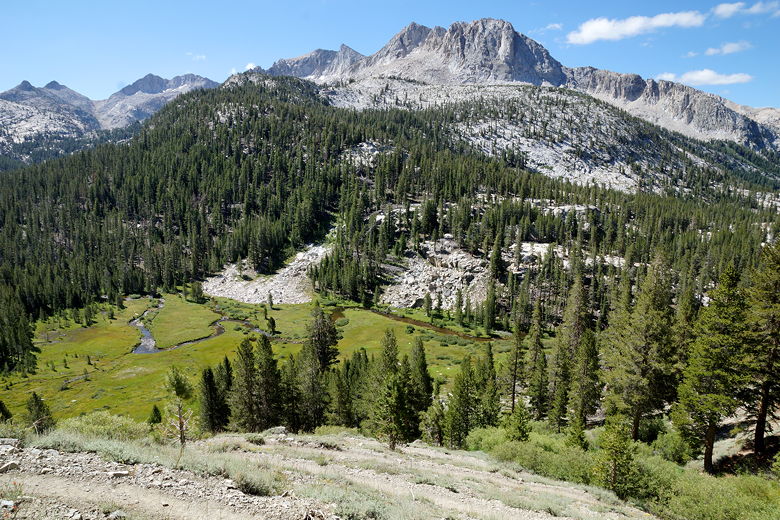
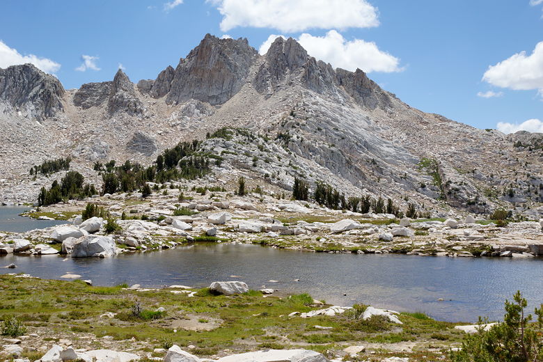
Lake Virginia
Lake Virginia
We returned to the main trail just as Jean's co-worker and his wife approached from
Purple Lake. They sat down for a break just as we left. That was the last
we'd see of them on the trip. We crossed the inlet stream and enjoyed the views of the lake as we
skirted the northeastern shore.
Lake Virginia inlet
Lake Virginia as viewed from the northeastern shore
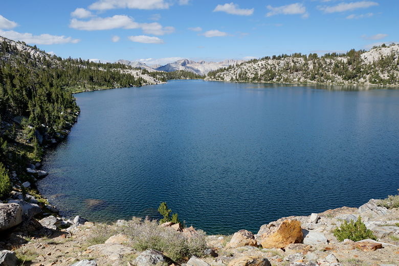
Lake Virginia
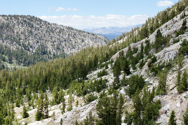
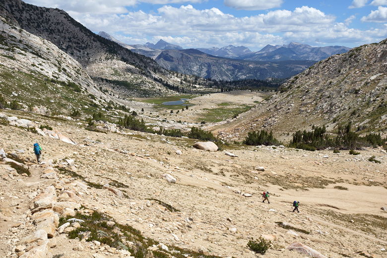
The trail leaves the lake and then starts a steep descent down to Tully Hole on a
series of switchbacks out in the open. We reached the bottom of the switchbacks
at about 10:30am and took a short break by the creek here.
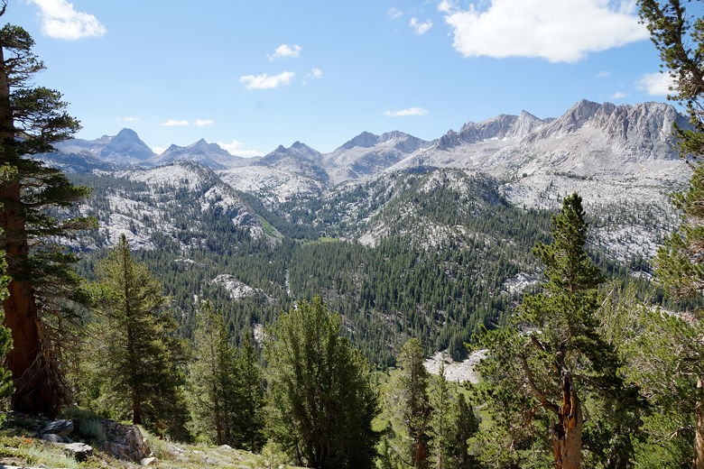
Mountain view
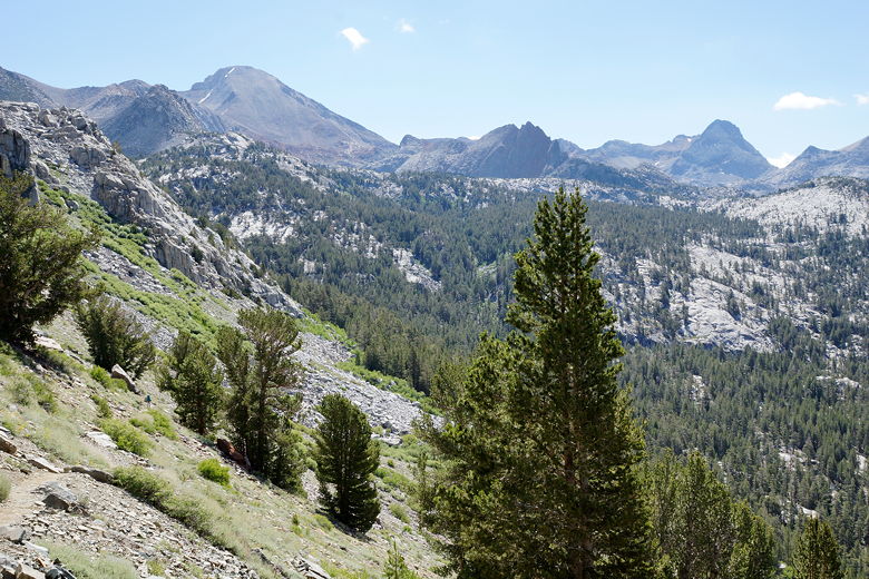
Mountain view
Switchbacks down to Tully Hole
View across Tully Hole
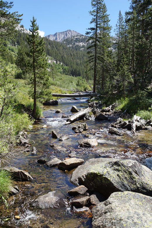
Fish Creek
After our break, we continued to descend next to Fish Creek before crossing the creek
and starting the 1700 foot climb up to Silver Pass. The climb is relatively
gradual, spread out over about 4 miles. After about 400 feet of climbing we stopped
near the creek for a break, the kids tossing pine cones into the creek and watching
them float away.
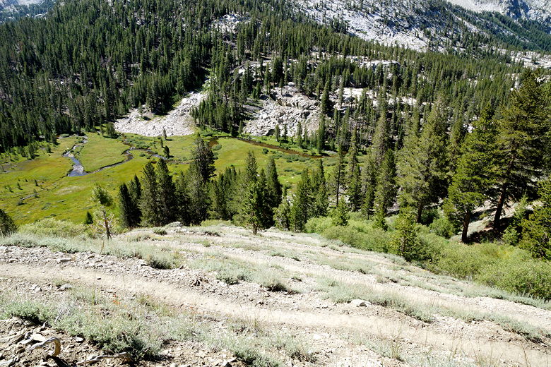
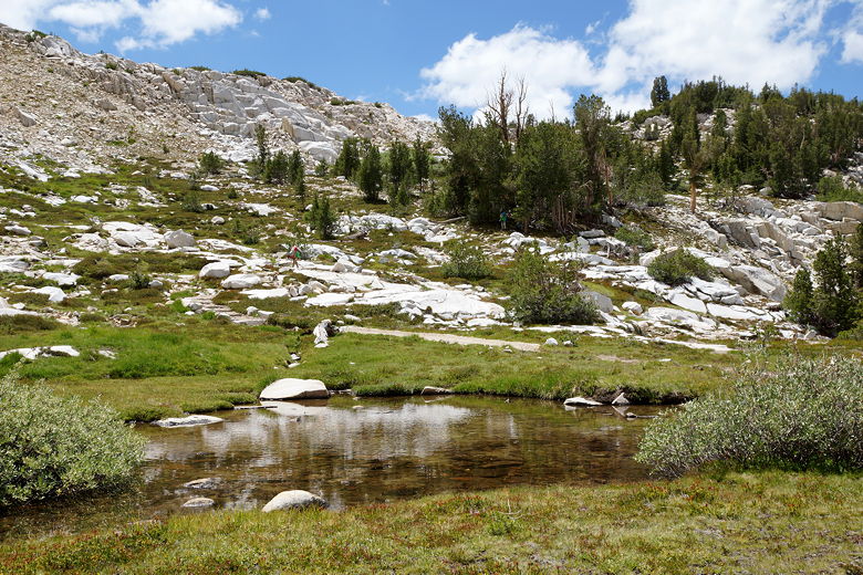
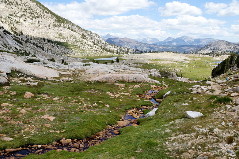
We crossed the creek a couple times, including once near a nice meadow which would have
been a better place to stop for a break. There are also campsites nearby. But we had
lots more hiking to do today. We continued climbing, soon breaking out of the forest
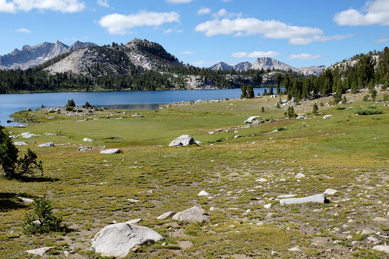
and starting to see more in the way of views. We reached pretty Squaw Lake, where some
people were already set up to camp for the night.
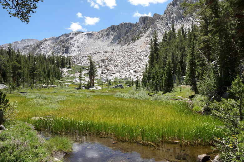
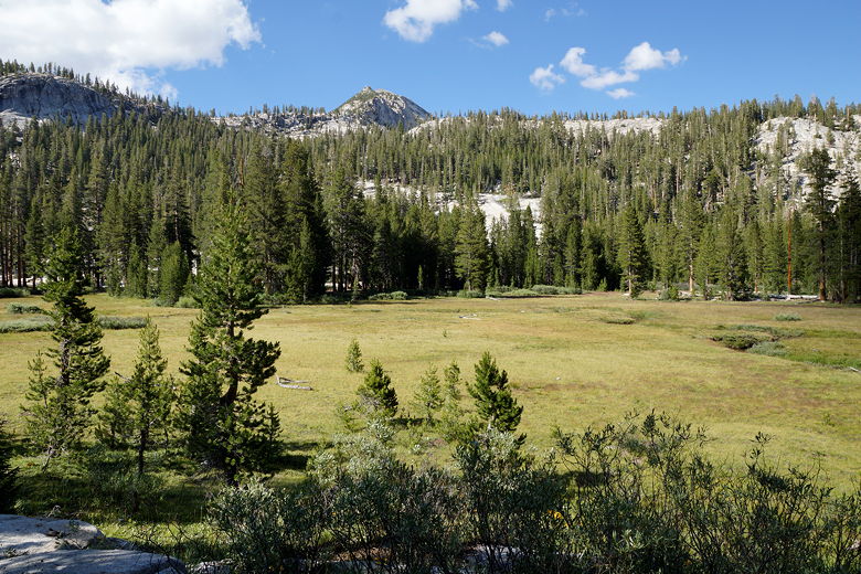
Meadow
Looking up toward Squaw Lake
View from the trail
Squaw Lake
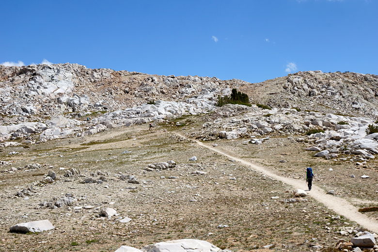
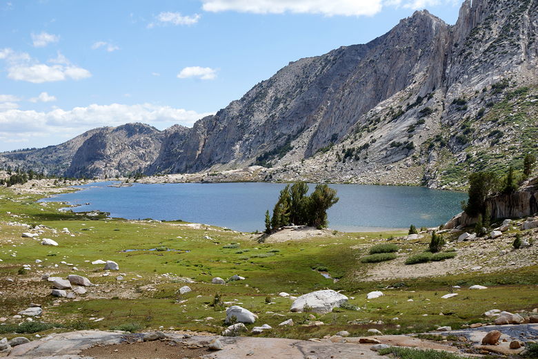
We took a break above the lake before continuing the climb past much larger Chief Lake.
There are a couple places near the top where the trail levels off for a while; it's
probably one of the easier passes to climb, at least from the north.
Continuing past Squaw Lake to our rest stop
Reflections on the climb to Silver Pass
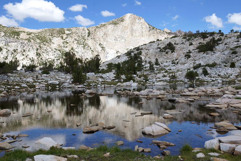
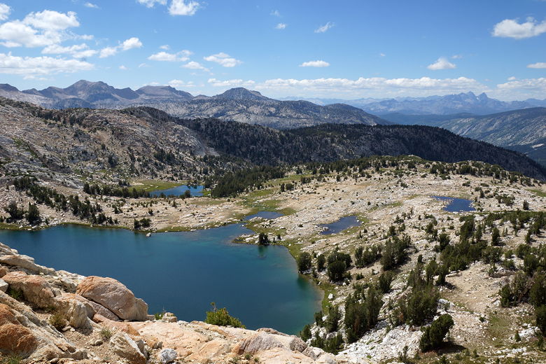
Chief Lake
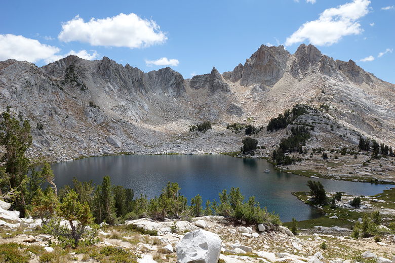
Chief Lake
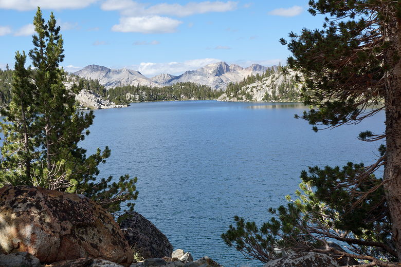
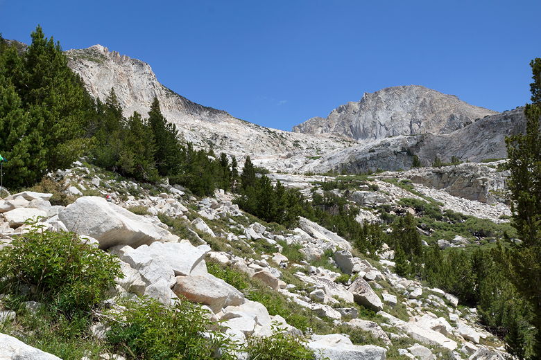
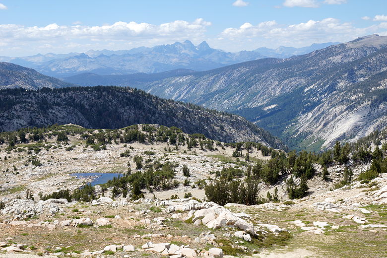
At one point I stepped to the left off the trail to get a glimpse of Warrior Lake below.
Then it was an easy finish to the top. From the saddle we walked briefly to the west
to get great views looking west and north. There were two other hikers here who had
come from the opposite direction. I asked them about stream crossings and they said
they weren't a problem, except perhaps one or two on this side of Selden Pass.
Everything else would be easy rock hops.
Warrior Lake
Final climb up to Silver Pass
View to the west from Silver Pass
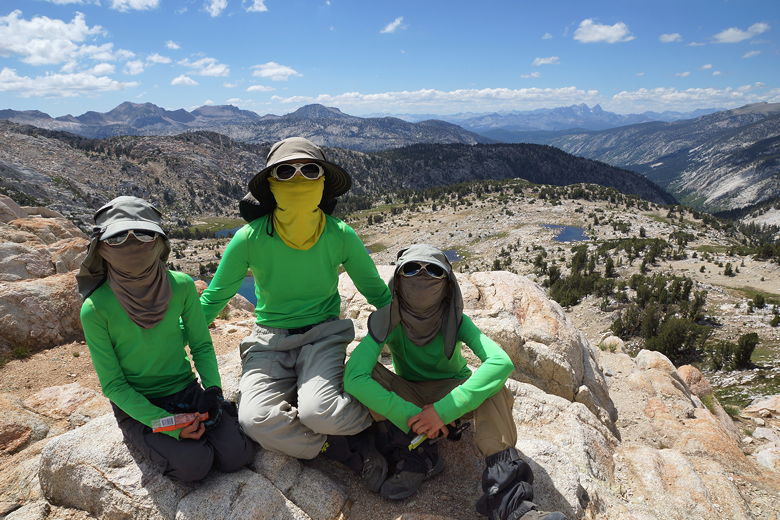
Bandits of the JMT
View to the west from Silver Pass

View to the west from Silver Pass
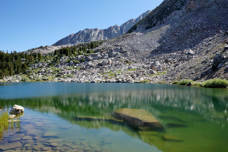
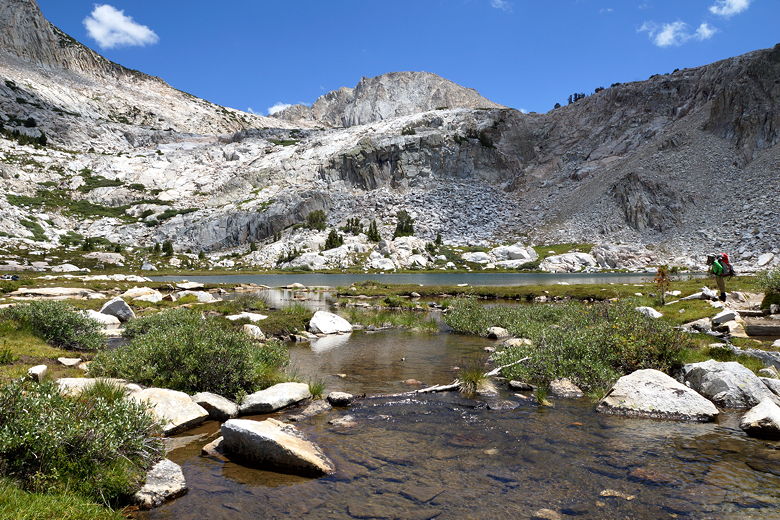
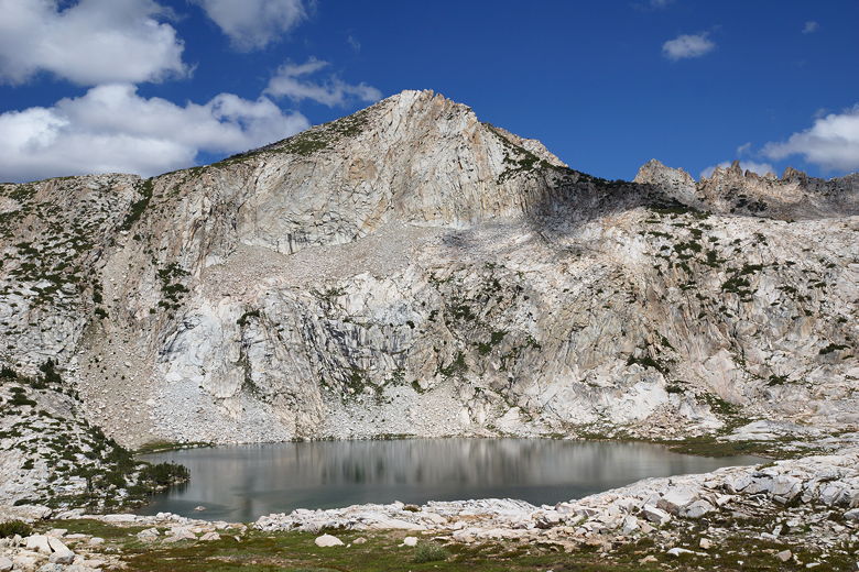
We started the descent and it was quite easy all the way down to Silver Pass Lake.
One person was camping there, with a great site nestled in some trees on a small
knoll above the lake. The trail levels off as it approaches and passes the
lake before resuming the descent.
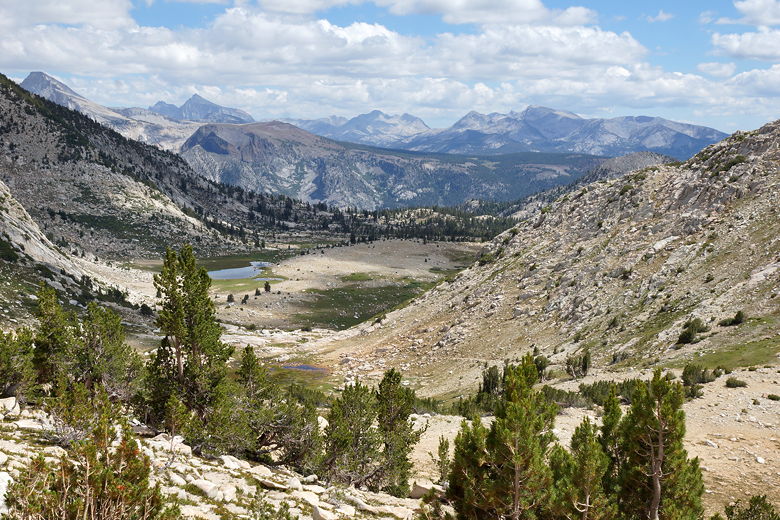
Looking south from Silver Pass
Descending Silver Pass
Stream on the descent
Silver Pass Lake
We passed a nice little meadow, then started a much steeper descent on big rocky
steps, some of the biggest steps we'd see on the JMT. We crossed Silver Pass
Creek and then continued with more big rocky steps. At the bottom
of this section, we crossed the creek again and then made a more difficult
crossing of the North Fork of Mono Creek. I went across and then had to help
the others make a big leap across the water. Strangely, they each thought they
could make the jump without help, but I convinced them to take my hand instead.
We all made it across safely.
Mountain on the descent
Meadow near Silver Pass Creek
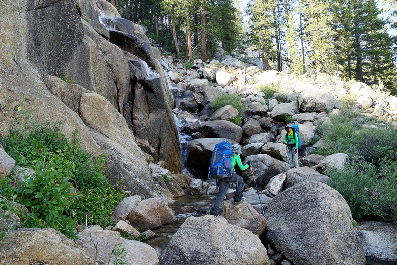
Crossing Silver Pass Creek
My original plan had been to camp around this intersection. However, there appeared to
be only one small site, and the kids wanted to keep going downhill to make
tomorrow shorter. It was only about 5:15pm so we had plenty of daylight, so we
kept going.
Down we went as the trail paralleled the North Fork of Mono Creek. We passed many
occupied sites along the creek. After about 1.4 miles, we reached a trail intersection
just before 6pm. There was another large group here that had come in from the
east and were now heading up. After a brief break we headed down, quickly descending
another 1.4 miles through mostly open forest. About halfway, we crossed the creek and
saw more campers.
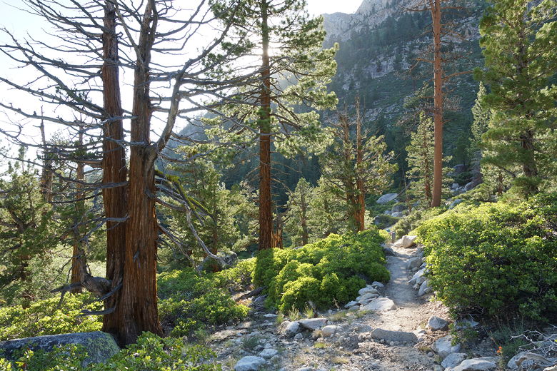
Trees on the descent toward Quail Meadows
We finally reached the VVR intersection at about 6:45pm. There were two campers here
who we would later learn were Tim and Michelle; they seemed to have the only decent
campsite on this side of the bridge. Eventually, after much searching, I crossed the
large footbridge over the creek and found a great site up on a hill. Most hikers
were camped on this side of the bridge, but the hill site was still open.
There was only one other camper near us. In fact we had seen him earlier yesterday
at some point. He came by and chatted for a few minutes before returning to his tent
for the night. He said he had started his hike at Mono Meadow, though I'm not sure
when. He seemed faster than us; he'd be gone early in the morning and we wouldn't
see him again.
| 

