|
We visited Pleasanton Ridge in the middle of spring, when the hills were still green.
In the summer it would be brown and too hot. Even today it was rather warm, though
windy at times. The parking lot was nearly full when we arrived, though we didn't
have a problem finding a spot. There were lots of cyclists in the area, too; perhaps
there was an organized ride in the area.
We started off by hiking up the Oak Tree Trail. There are numbered signposts at
each intersection; these numbers correspond to the trail map (which are available
for free at the trailhead). At signpost 2, we veered right to stay on the main
Oak Tree Trail (the left fork is Woodland Trail, on which we would return).
Most of the trails on this hike were wide fire roads with little shade. And most of
the first part of the hike involved climbing. We climbed to views of the Diablo
Range to the east, across Interstate 680. About six tenths of a mile from the
trailhead we reached signpost 3 and stayed to the left, on the Oak Tree Trail.
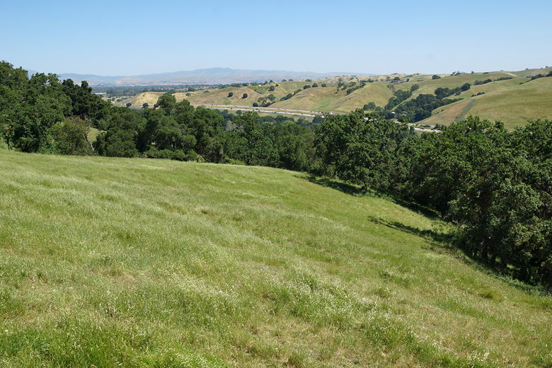
View to the east
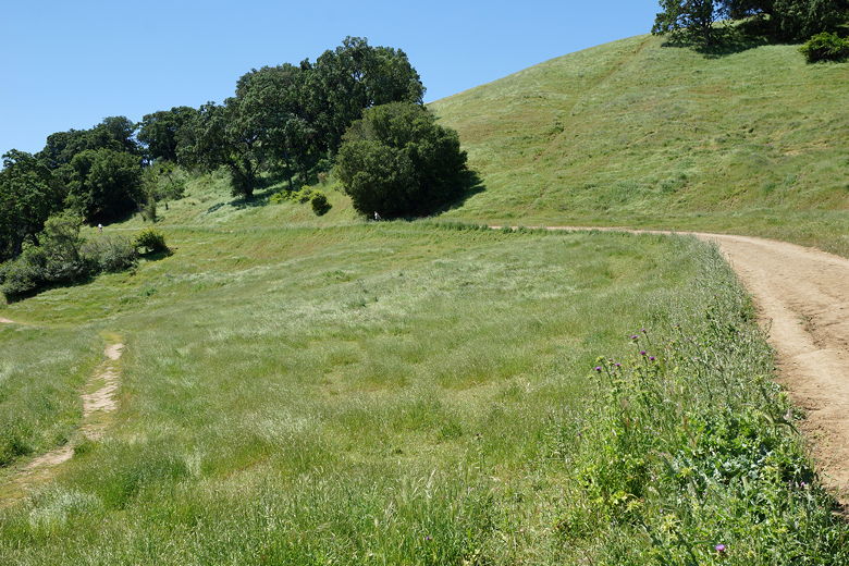
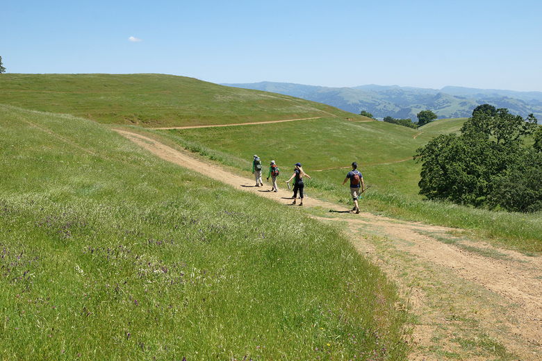
Rolling hills along the Oak Tree Trail
There was now a bit of shade for the next half mile until we reached signpost 5,
crossed through a gate and turned right onto Ridgeline Trail. We continued
to get better views of the surrounding area, with raptors gliding above us.
The view was basically rolling green hills in all directions. Wildflowers dotted
the hillsides here and there.
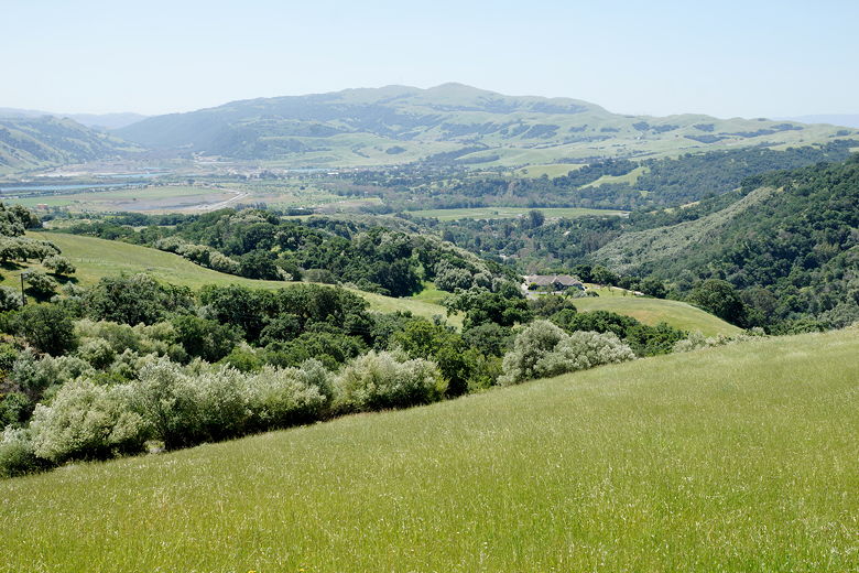
View to the south
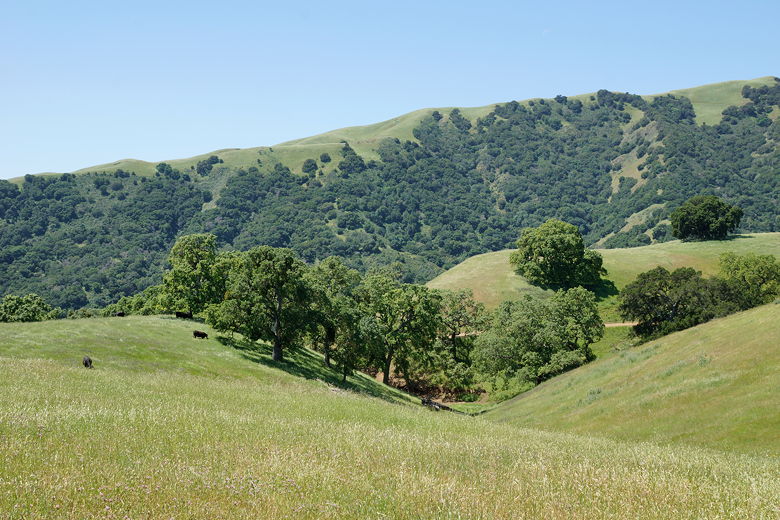
Cows next to the Ridgeline Trail
There are several unmarked intersections, but in most of these cases taking either
trail meets up at the same place. One trail may head to the top of a hill while
the other goes around it. Eventually we reached signpost 19. The sign here said
the Ridgeline Trail continues to the right, down the hill past a gate. But we
saw a trail to the left, adjacent to the fence, that looked well-used. We
decided to take the use trail to the left, but that would turn out to be a mistake.
The trail started out fine, reaching the highpoint of the hike, but then quickly
descended very steeply. The trail was 25-35% grade in one section, and slippery.
We had to gingerly make our way down to avoid sliding and falling. Eventually it
joined up with the actual Ridgeline Trail coming in from the right, through another
gate. That's the trail we would have taken if we had stuck to the sign (which we
should have). Perhaps they should put a sign there saying "Not a trail" so
people know not to take the left trail at signpost 19. (Note, the Ridgeline Trail
continues for several more miles to the north if you want a longer hiker.)
We now turned left at signpost 20, onto the Thermalito Trail. We tried to find a
place for lunch, as it was 1pm now. We thought we found a nice spot under the
shade of a tree, just off the trail, but soon discovered it was infested with
mosquitoes. We retraced our steps back to the trail and just sat down on one side
of the trail (which is quite wide here). While we saw a few mountain bikers on the
trail on this hike, we didn't see any while we ate.
After lunch, we continued south along the Thermalito Trail. This trail parallels
the Ridgeline Trail, but is a gradual descent below the ridgeline with a bit more
shade. We shortly passed a small pond, then later passed a group of cattle resting
in the shade. They roam freely in the park.
Hiking back on the Thermalito Trail
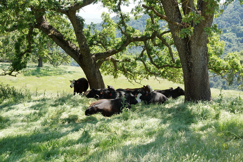
Cows next to the trail
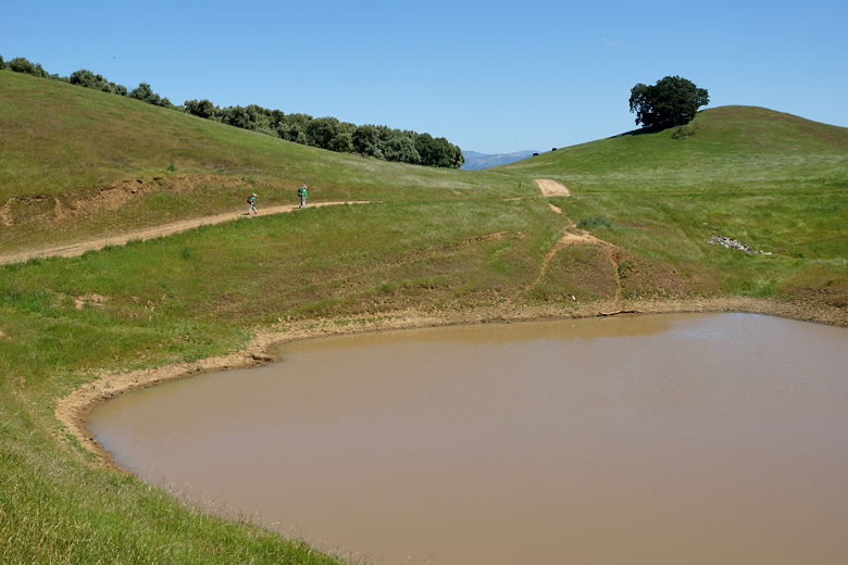
Pond next to the trail
We passed signposts 17 and 15 before veering left at signpost 13, passing a large
group of cattle, then briefly rejoining the Ridgeline Trail at signpost 10.
At signpost 5 we turned right onto the Woodland Trail, which switchbacks down
toward the parking lot. Early on there's an unsigned intersection, but we turned
right to stay on the Woodland Trail (going straight would have brought us back to the
Oak Tree Trail).
Soon enough we were back at the parking lot (which was much less full now).
| 

