|
We started this hike around 3pm, and we wouldn't be the last ones to do it today.
Because the trail starts right at the lodge and provides fantastic views of the
lake, there's probably a steady stream of people going up and down all during the day.
I had read that the light is best in the morning, and I can understand why, but
early to mid afternoon seems ok as well. It would also probably be a nice place to
watch sunset (though sunrise may be better).
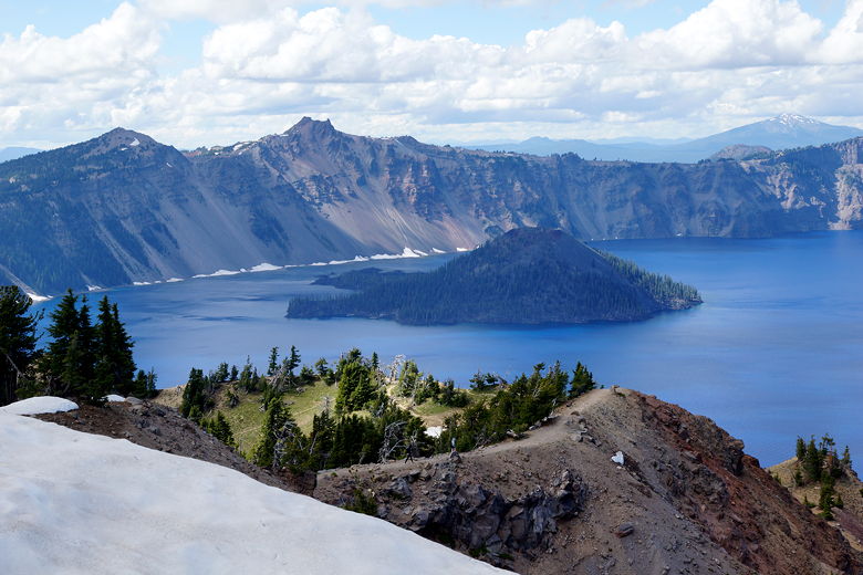
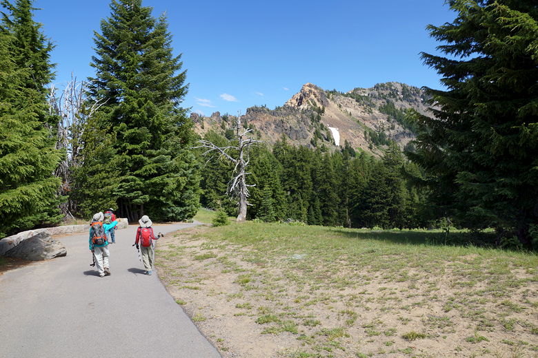
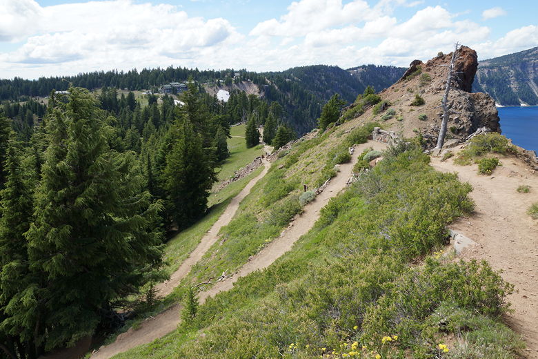
View of the mountain we're about to climb
We started off on the paved walkway from the southeastern end of the lodge. There's
a small retaining wall on the left, with nice views of Crater Lake to the left.
After a short descent, the pavement ends and there's a trailhead sign.
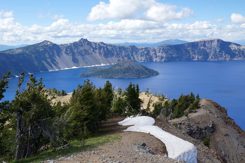
Wizard Island in Crater Lake from the start of the trail
Start of the trail
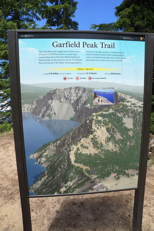
Trail sign
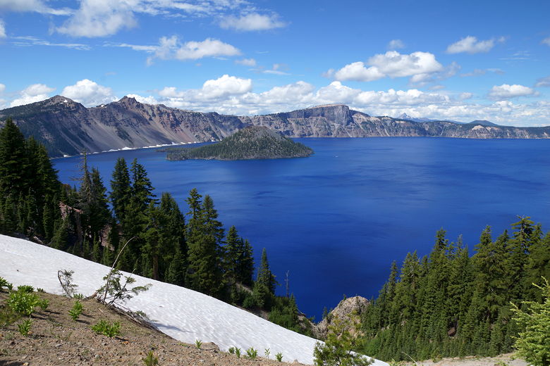
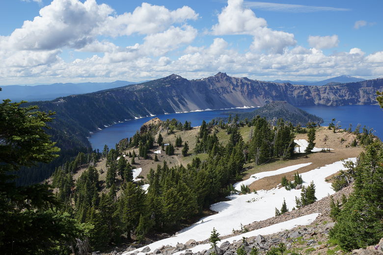
Past the sign, the trail starts climbing, with ever-higher views of the lake to the left.
Sometimes the trail switchbacks away from the views, but soon enough you'll see the
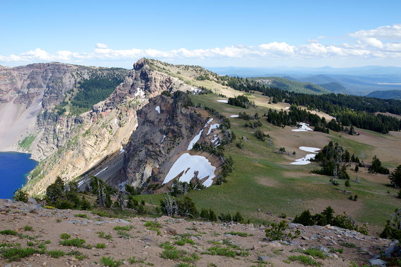
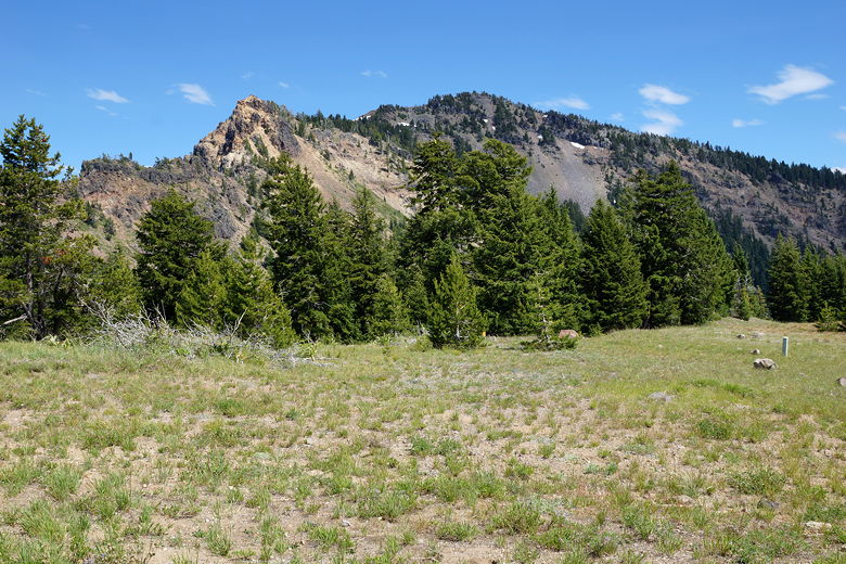
lake again. Meanwhile, there are also some views of the forested mountains to the southwest,
as well as some nice views of Crater Lake Lodge, perched on the edge of the rim.

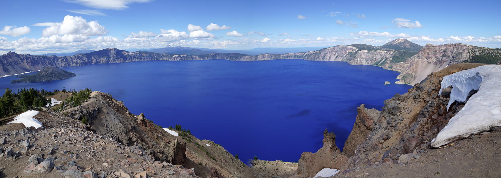
Crater Lake
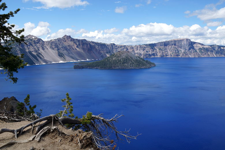
Crater Lake

Crater Lake
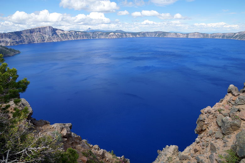
Crater Lake
Looking back down at the switchbacks
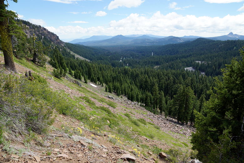
View to the southwest
Crater Lake
Crater Lake
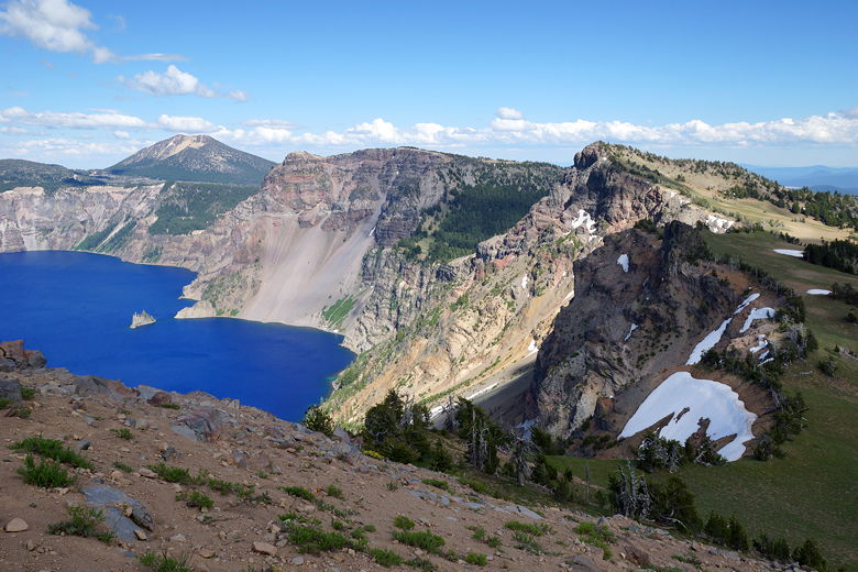
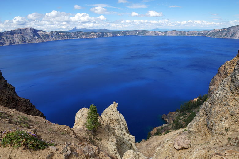
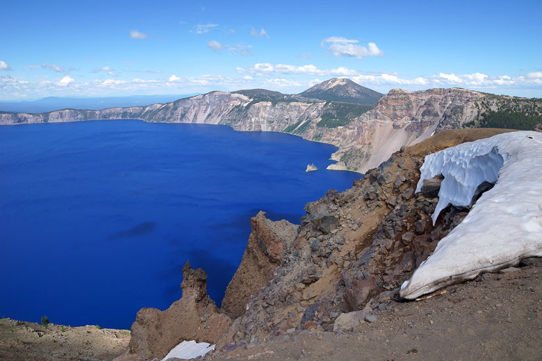
Further along, you can see the Phantom Ship to the east across Chaski Bay. Sometimes the
trail nears the edge, but you always have the option of staying away from the edge
if you're scared of heights. There are no knife edges to walk on.
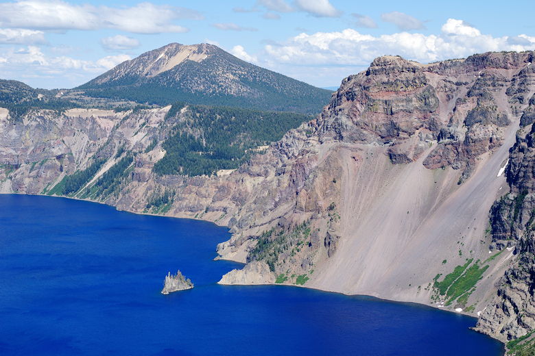
Phantom Ship in Crater Lake
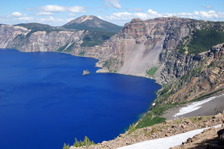
Phantom Ship in Crater Lake
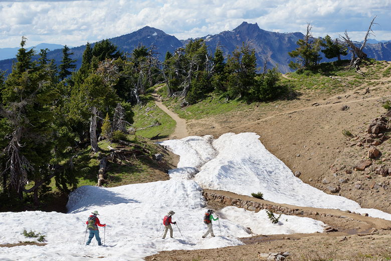
About half way up there's some partially underground building; not sure what it is.
The trail passes by it and then switchbacks next to its roof. Further up, we encountered
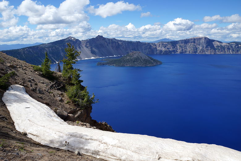
snow on the trail. It was easy to navigate past the first section of snow. Near the
top, however, was a patch of steep snow that a couple people walked/slid down awkwardly.
There was a narrow slot that people had post-holed, and we had to wait for two people to
come down before we climbed up single file. We were glad to have our trekking poles
here.
Crater Lake
Crater Lake
Soon after that we were standing on the top, with awesome views of Crater Lake below.
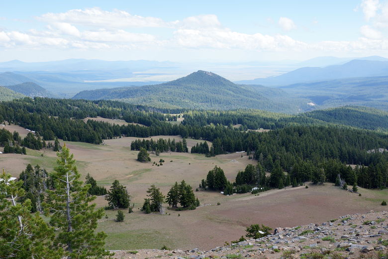
There were about 10 other hikers here as well. To the south we could see Klamath
Basin and I'm sure Crater Peak which we climbed yesterday, though it was hard to tell
which one it was.

Summit view
Summit view
|