|
I woke up at 7am and saw that most people were already getting packed up. We were
one of the last ones to leave, around 9:15am. We had a long day ahead of us.
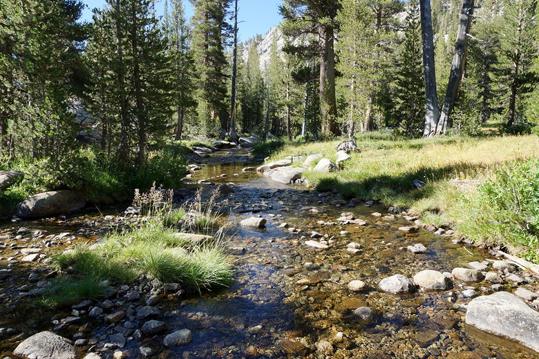
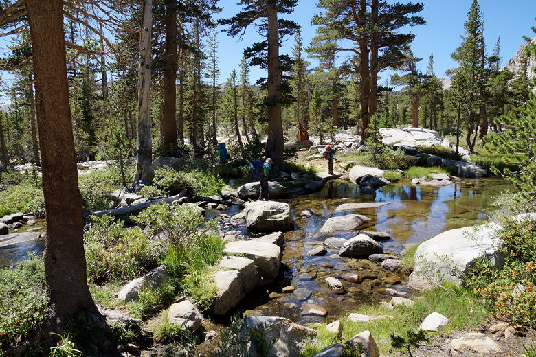
First we went over to the trail intersection near the bear box and crossed the
creek, heading toward Black Rock Pass. To get there, we first had to climb up about
500 feet, surprisingly steeply. It hadn't been obvious to me when looking at the
map that this section would be steep, but apparently I hadn't looked closely enough.
My 10 year old son took to looking at the map more closely than me, noting where the
trail would cross contour lines so he could tell if the trail would go up and down
where I would normally just say it was "basically flat".
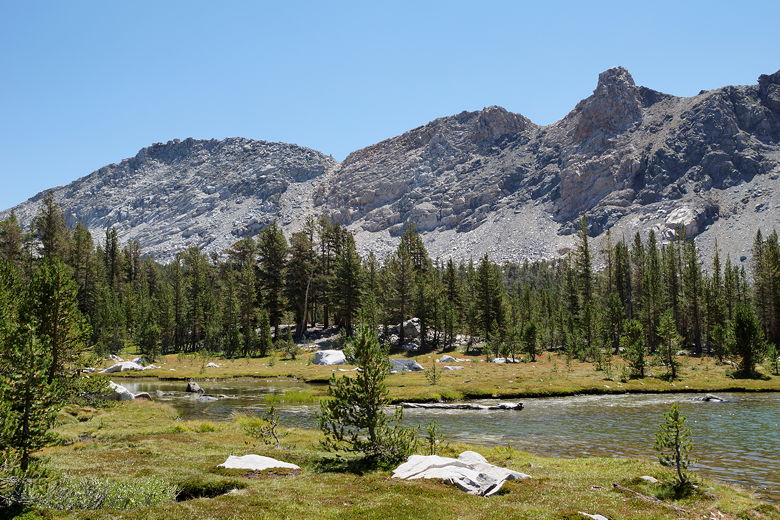
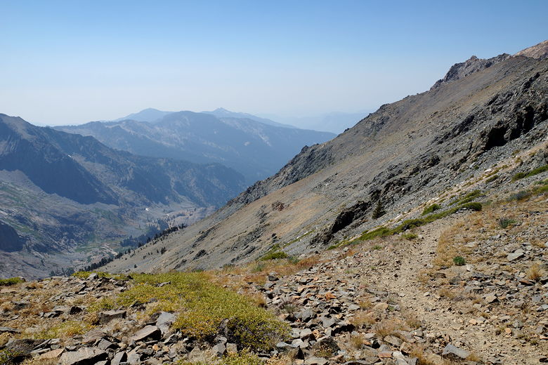
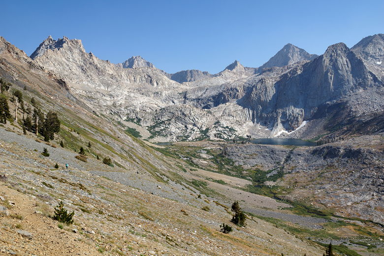
Big Arroyo
Big Arroyo
Looking down from the switchbacks
Looking across Big Arroyo
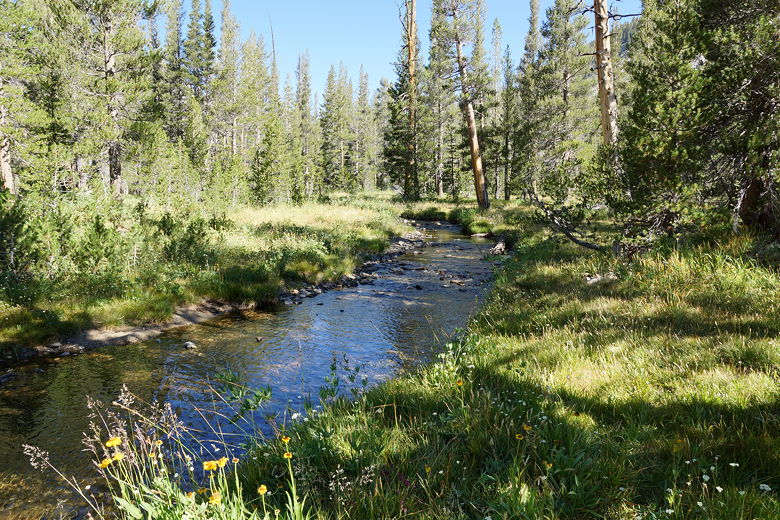
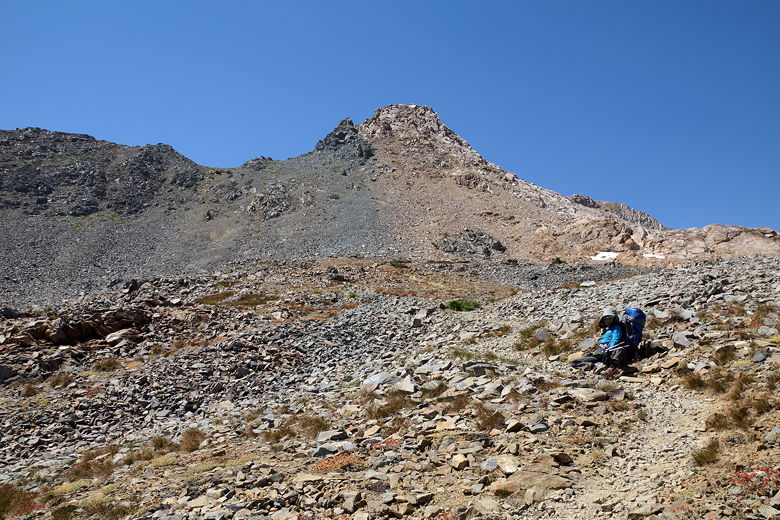
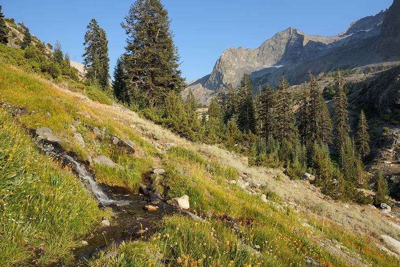
After this steep climb to start the hike, we took a brief snack break, then continued
through a beautiful pine forest as the trail begins to level out. The trail then climbs
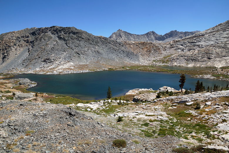
another 500 feet, then it's downhill about 200 feet to the one of the Little Five Lakes.
By this time we hadn't seen anyone else on the trail, and I suspected we might not see
anyone on the trail the entire day. I'm guessing most folks had gone in the opposite
direction, southeast along the High Sierra Trail toward Mount Whitney.
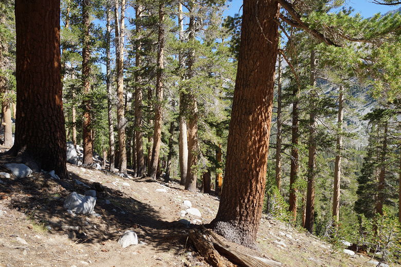
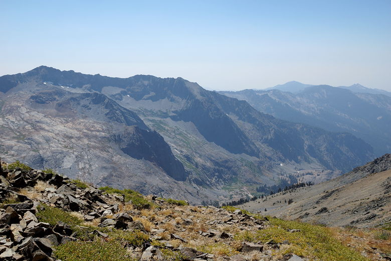
Pine trees
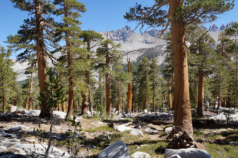
Pine trees
Pine trees
Descending toward the first of the Little Five Lakes
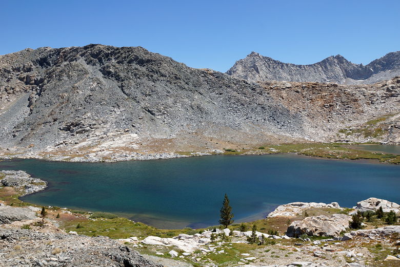
We now climbed back up about 200 feet and went a bit further before reaching another
of the Little Five Lakes. No campsites were apparent here. The trail flattens out
and soon after that we
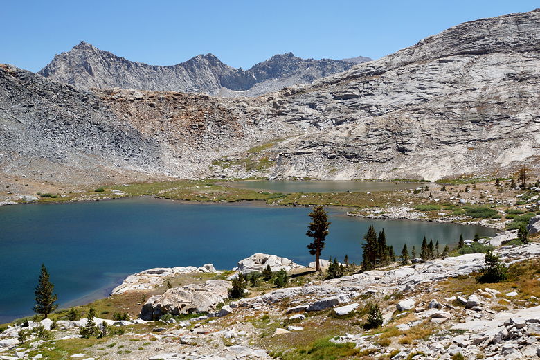
reached the largest of the Little Five Lakes. There's a bear box here, and a ranger
station as well. We did not visit the ranger station, however, as we stayed on the
trail to the right toward Black Rock Pass. We followed the shore about halfway down
the lake and then found a spot along its northwestern shore to take a break. It was
another warm day and I filtered water and refilled our Camelbaks here.
Crossing the first lake's outlet stream
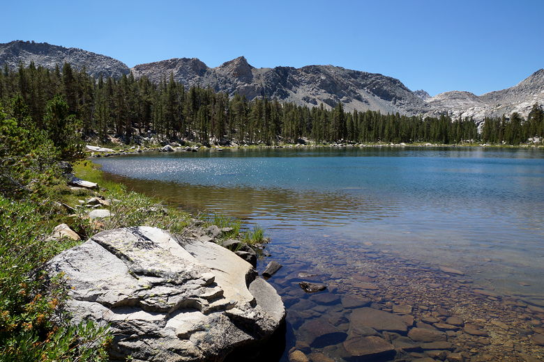
Second of the Little Five Lakes
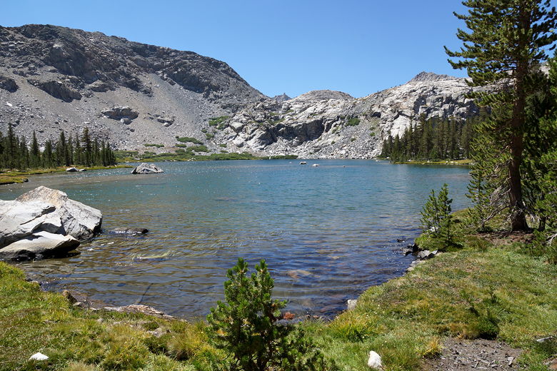
Largest of the Little Five Lakes
With all the up and down and distance, it had taken us more than two and a half hours
to reach this lake. No camp sites were apparent; I"m guessing they are on the eastern
side of the lake, closer to the ranger station. It's a good thing we hadn't tried to
reach here yesterday, as it would have been late and we would have been exhausted.
It is a pretty lake. I won't lose any sleep having not been able to camp
here, though.
Little Five Lake
Little Five Lake
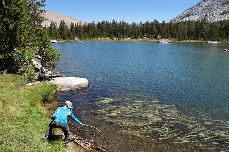
Playing in Little Five Lake
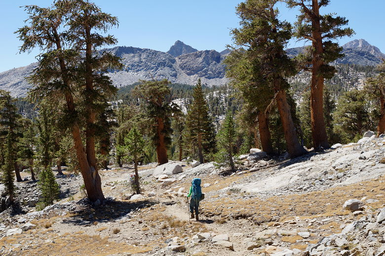
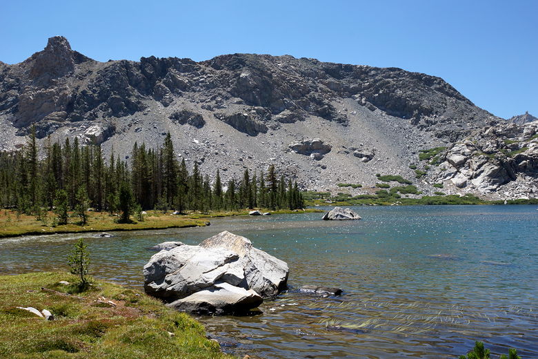
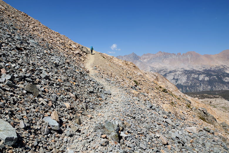
After a long break, we left the lake just before 1pm. The trail now climbs steeply
northwest away from the lake shore before heading southwest. The views of the
surrounding mountains began to open up. Soon we could see a fourth lake below us
to the south. My sons thought
it looked like a shark.
Climbing up from Little Five Lake
Looking down at the "shark" lake
The topo map we had didn't really show how steep the final 400-500 feet
of climbing is to the top of Black Rock Pass. It's also a horrible trail to walk on,
as it's pretty much all loose gravel where you take two steps up and slide back one,
sometimes two steps. This may be hyperbole, but the top of Black Rock Pass may
be the hardest of any pass we've ever done.
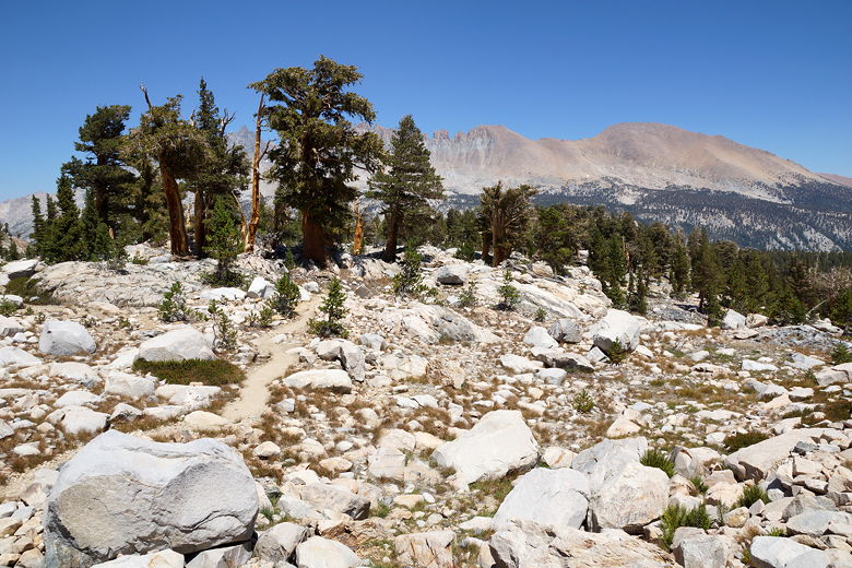
View to the east
Climbing Black Rock Pass (saddle on the left)
Nearing the top of Black Rock Pass
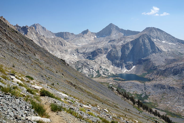
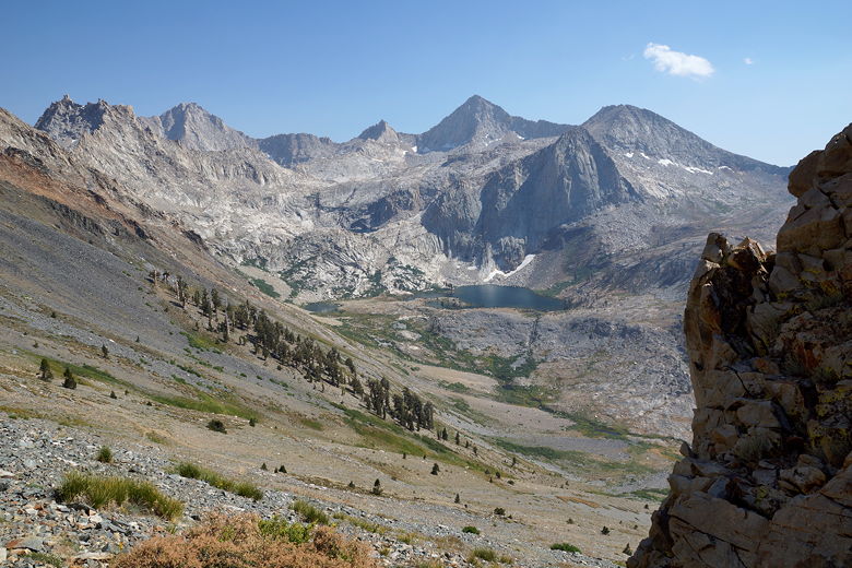
View of the Little Five Lakes
View of the Little Five Lakes (and one of the Big Five Lakes)
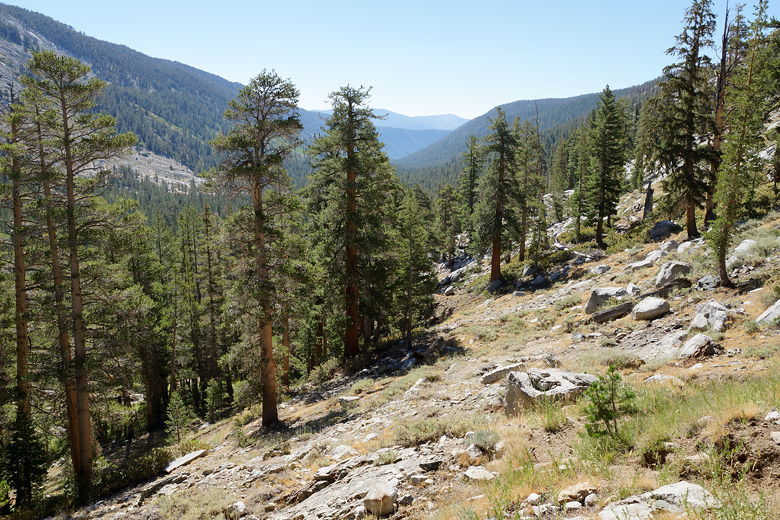
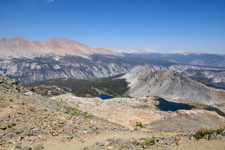
It was windy and barren at the top, where we arrived around 2:40pm. After a snack
break, we left the top at 3pm. We had a long 4500 foot descent
to reach our camp for the night - probably the most descent we've ever done in one
day. I was hoping it would go quickly. The first part
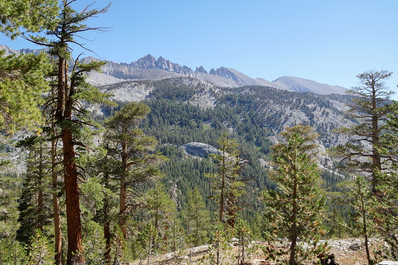
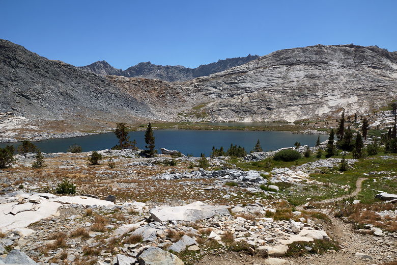
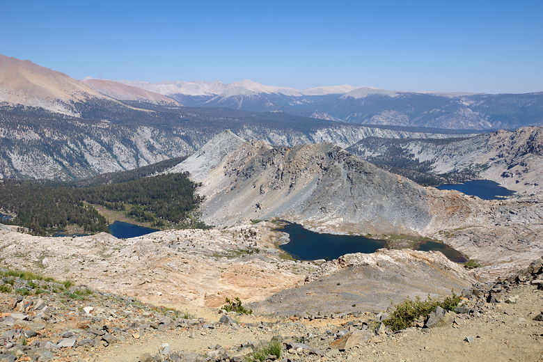
was a steep gravelly descent. As we got lower, we had nice views (that would only
get better) of Spring Lake and Cyclamen Lake (and the mountains surrounding them) to the south, tucked high above
the valley.
View to the west from Black Rock Pass
View to the west from Black Rock Pass
Spring Lake from Black Rock Pass descent
Spring Lake
Spring Lake
After maybe an hour and 1200 feet of descent, we took a brief break on the steep trail.
We were finally amongst a few trees. We were soon back out in the open as we descended
some more. The gravel was now replaced with larger rocks, but rocks were pretty
much standard all the way down, making descending quickly difficult. About 1700 feet down
from the top we saw three backpackers coming up toward us. It was 4:30pm, and I was surprised
to see someone ascending this late. At their pace, I would be surprised if they made it to
Little Five Lakes by sunset, if not later. Also, as much as I didn't like climbing
Black Rock Pass in the direction that we did, it felt like it would be much worse
doing it in the opposite direction. I felt sorry for them.
After about 3000 feet of downhill, we took a break near Pinto Lake. There's a bear box
and campsites here, though the lake is really more of a pond in a marsh. Not a very
inviting place to camp. We knew we only had about 1500 feet to descend; it was now
nearing 6pm, but I was hoping we'd get to camp shortly after 7pm. Unfortunately for
us the trail starts to level out and it's actually a long way from Pinto Lake to the
next camp site. The trail passes through some nice fern areas and passes some small
waterfalls flowing over the trail. But we wanted to get to camp so we blitzed through
these areas as fast as we could. The rocks beneath our feet didn't help.
We were teased at about the 8000 foot elevation, where it seemed the rocks stopped. But
then we soon came to a gravel bar and the rocks resumed.
Water running across the trail
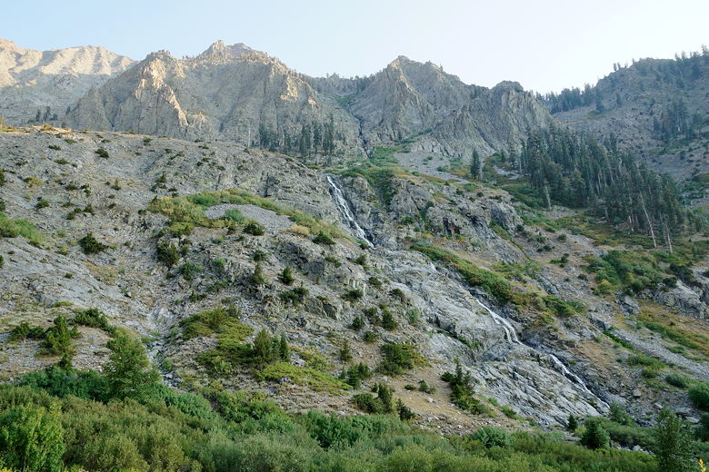
Waterfall
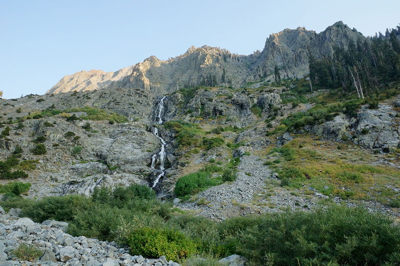
Waterfall
Finally, just as it was nearing sunset, we reached camp at about 7:30pm. There's a bear
box here and a few sites, though one was already taken by a solo backpacker. The creek
is right next to the trail. We found a nice site and quickly set up camp, got water,
and cleaned up before it got dark. The Timber Gap Trail crosses the creek here, and is
visible from where we got water.
After dinner I went to put our excess food and garbage in the bear box. Unfortunately
I couldn't get it open. It appeared to be broken. I tried for a couple minutes
before giving up. I knew I could stuff everything into our bear canisters; it would
just take a little work. Now I knew I had to do that work.
Tired from the day's hike, we now discussed altering tomorrow's planned hike up to
Tamarack Lake. Instead of hiking up toward Elizabeth Pass and taking the 1.8 mile side
trip (up 1050 feet), we could instead camp at Bearpaw Meadow tomorrow. This would
make for a longer and tougher day the next day, but would save us that 1000+ feet of
climbing. Alternatively, it would be nice if we could camp closer to the main
trail up toward Elizabeth Pass, but it wasn't clear that there would be any good
options to do so. So we mostly decided to camp at Bearpaw Meadow the next night.
The kids also liked the idea of being able to stop at the store and get brownies,
so they were looking forward to that.
| 

