|
From the paved road, the sign says it's about 6.5 miles to the trailhead,
though it turned out to be about 7. The first mile or so of the drive
is actually on a good gravel road before turning to dirt. The road started
to get fairly rough near the top, and we happened to see one oncoming car
at this point. I backed up to let him pass.
We'd seen a horse trailer parked below the rough section, probably because
they didn't want to drive that part. We'd see the horses later.
At the trailhead itself, there was nothing, really. There was no
real parking lot, and no cars. Just a trail leading off from a bend in the
road. There was plenty of space to park on the side, though.
The trail is steepest near the beginning of the hike, hiking up a straight
wide trail. Not much to see here; just put your head down and go. It
was rocky with forest on either side. As we got higher, we started to
see flowering plants. After about a mile, we had views of Shasta to the northeast.
Around this time we saw two men on horses; it looks like they'd done some trail
maintenance and were heading back to the trailhead.
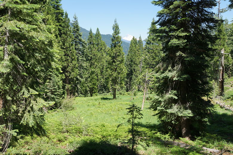
Mount Shasta in the distance
The trail steepness lessens, and after about 2 miles starts to descend briefly.
We'd gotten a late start (after 1:30pm), so we stopped for a snack break.
After our break we continued the short descent and came to an intersection.
We turned left to head to Stoddard Lake. From here the trail was fairly easy.
It's a bit of a climb, but short. We could tell the horses had come this way,
though, as they left their mark on the trail.
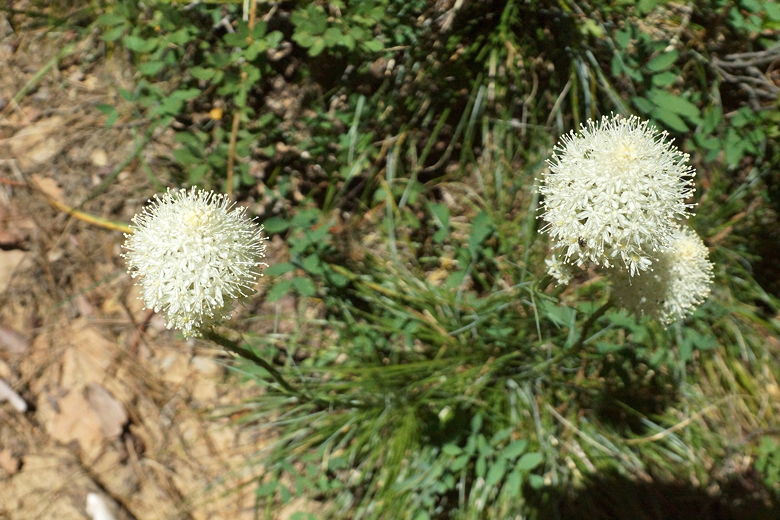
Flowers
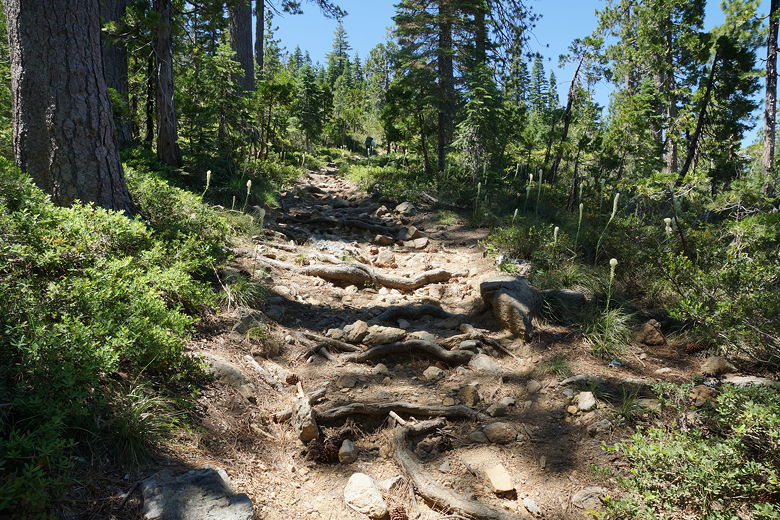
Heading up the trail
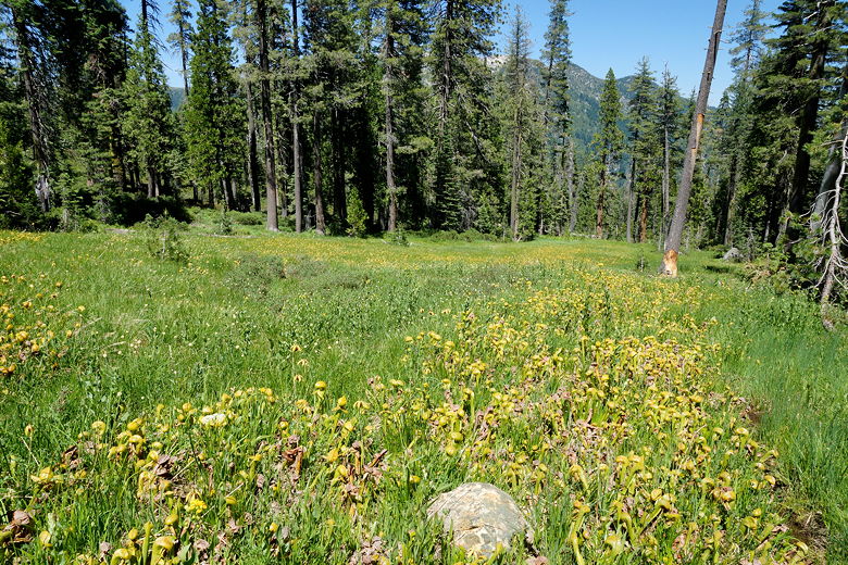
California pitcher plants
It took us about 40 minutes to hike from the intersection to the lake.
When we got there, we found out that the lake is huge! And we had it all
to ourselves. We found a nice spot near the water to have a late lunch
break (at 4pm!).
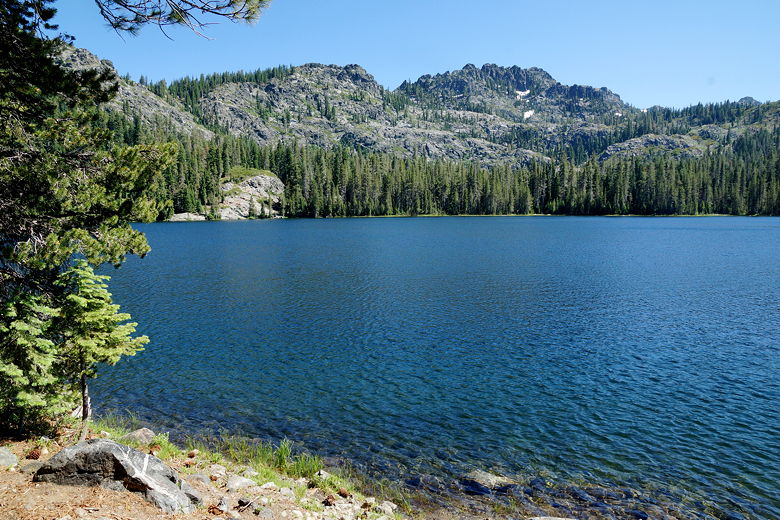
Stoddard Lake
After enjoying our break, we finally left around 4:45pm. Before we reached
the intersection, we encountered a group of kids, maybe 12-15 kids on a backpacking
trip. I told them they'd have the whole lake to themselves.
We were back at the car around 6:15pm.
| 

