|
We were lucky enough to find one of the few (maybe 5) parking spots in the lot. Most people had to park along the side of the street leading up to the parking lot, which is right on the edge of a residential area. The trailhead has a bathroom and map display.
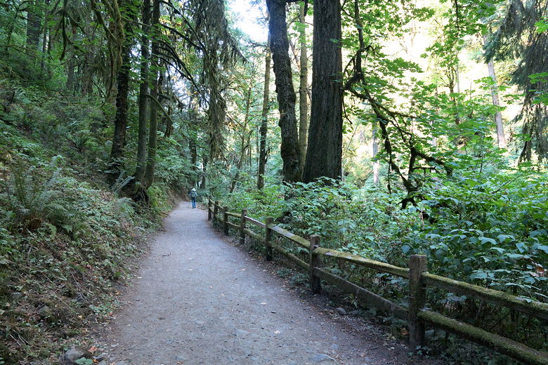
We crossed under the big metal bridge at the start of the hike, walking up the paved trail. Soon the trail turns to hard gravel and heads into the forest alongside a creek. It's a pretty crowded trail, with walkers and runners of all ages. It's a short 0.85 miles up to the Stone House, which is some ruins that you can walk through and on.
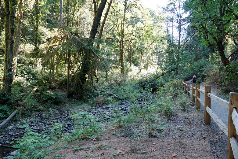
Heading up the trail
Once we reached the Stone House, it seemed too soon to turn around, so we made a right turn onto the Wildwood Trail and continued on for a bit. There wasn't much to see, though. There weren't really any views of any sort on this trail, and the forest, while nice enough, isn't particularly memorable. Still, it was a nice first-day leg-stretcher. After going on the WIldwood Trail for about 10 minutes, we turned around and returned to the parking lot the way we came.
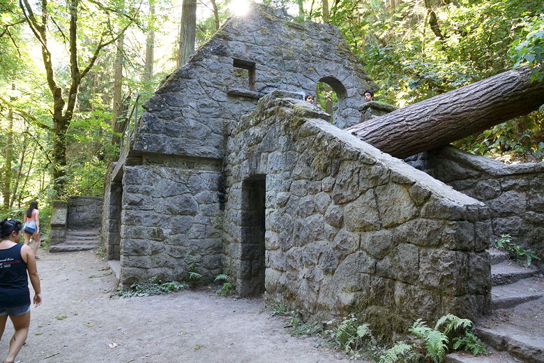
Stone house
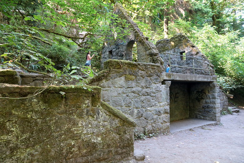
Stone house
Trail
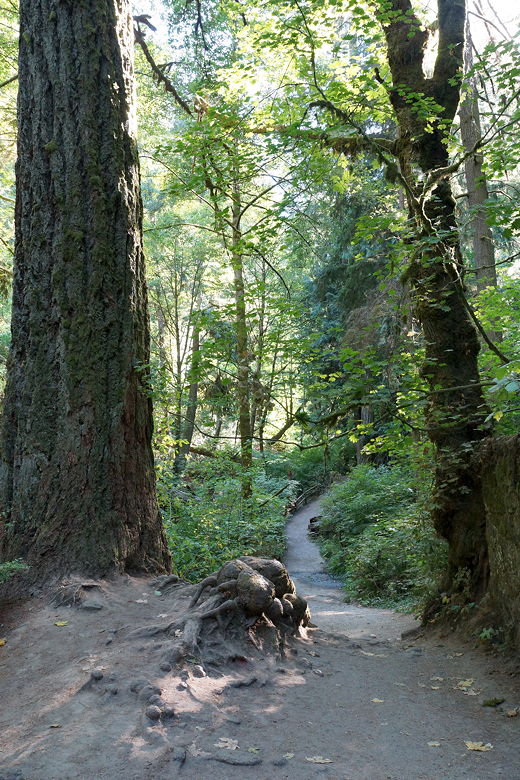
Heading back down the trail
| 

