|
The large group left the hut early, around 6am. We woke at 7am and
left at 9am as a light rain fell. As we started the climb up away
from the lake, I noticed a man walking toward us, toward the hut,
without any pack. I figured maybe he was just doing a day hike from camp
before starting the day. But then he eventually turned around and walked
past us to his backpack. I later found out he'd forgotten his socks
at the hut (we'd meet at the Emstrur hut).
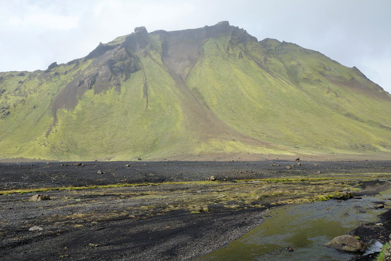
Anyway, as we climbed we got some nice views of the lake. After the short
climb, we saw a landscape of mossy hillsides and valleys. Very soon
we reached a creek crossing. The water was not quite knee high. Again,
it was raining (lightly), so I have no pictures of the creek crossing.
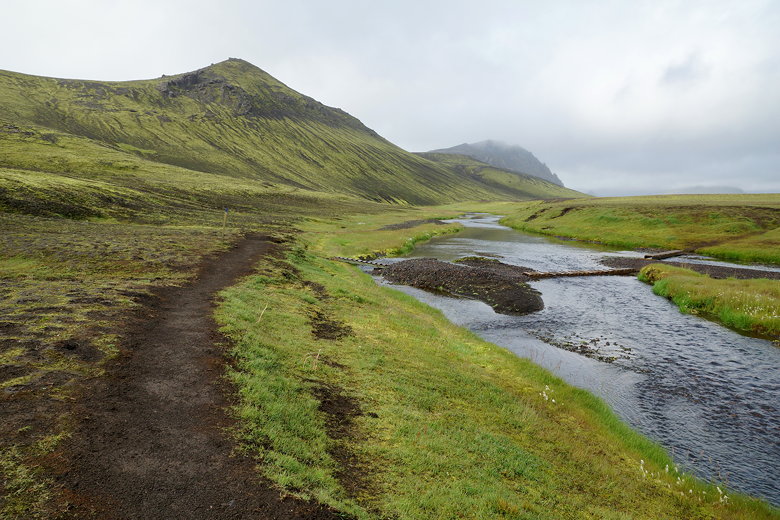
Stream next to Álftavatn
Álftavatn
Heading toward the stream crossing
Heading toward the stream crossing
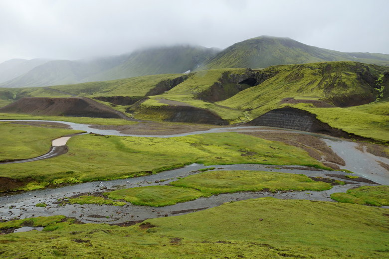
Streams
There was a large group behind us as we climbed back up the other side, and
then eventually down to the small Hvanngil hut. The rain was steady now,
and we took a brief snack break next to the hut. Unfortunately there wasn't much
in the way of shelter outside of the hut, so we didn't stay long.
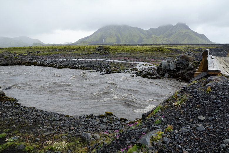
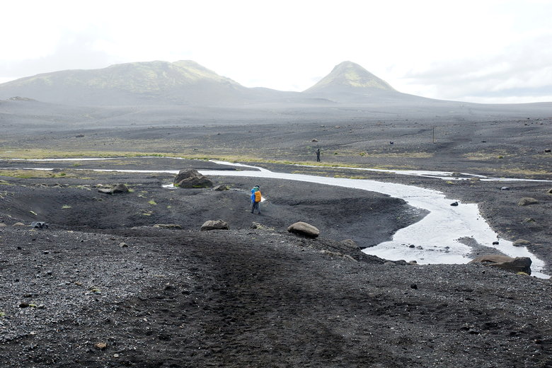
Next up was a foot bridge and mostly flat walking until we reached our
second and final creek crossing of the day. We had seen signs warning
not to cross where the cars cross, but to walk upstream 100-200 meters
and cross where there's a small gravel island. We followed the directions
and saw a large group of people crossing the creek just ahead of us.
This was the toughest crossing so far. The water came up to the knees (maybe
a bit past?) in one spot, and it was fairly long. And of course it was
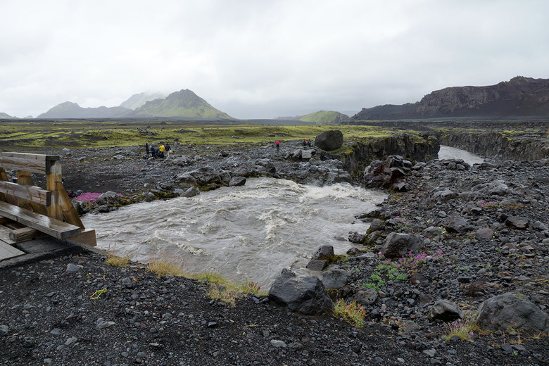
cold and raining. We all made it across safely, though there was an incident.
Nathan went first, and Jared decided to throw his boots over to Nathan from
the gravel island. It didn't go well. The boots survived and eventually reached
the other side, but they did get wet.
After crossing, we put our boots on in the rain and continued the hike.
The trail continues over flat terrain, mostly desolate black sand with not much to
see. Eventually we crossed a foot bridge over another creek, with waters
rushing down over falls after the bridge. Some others were stopped here for
lunch, but we kept going. It was still raining, though not as much now.
Foot bridge over the Innri-Emstrua River
Foot bridge over the Innri-Emstrua River
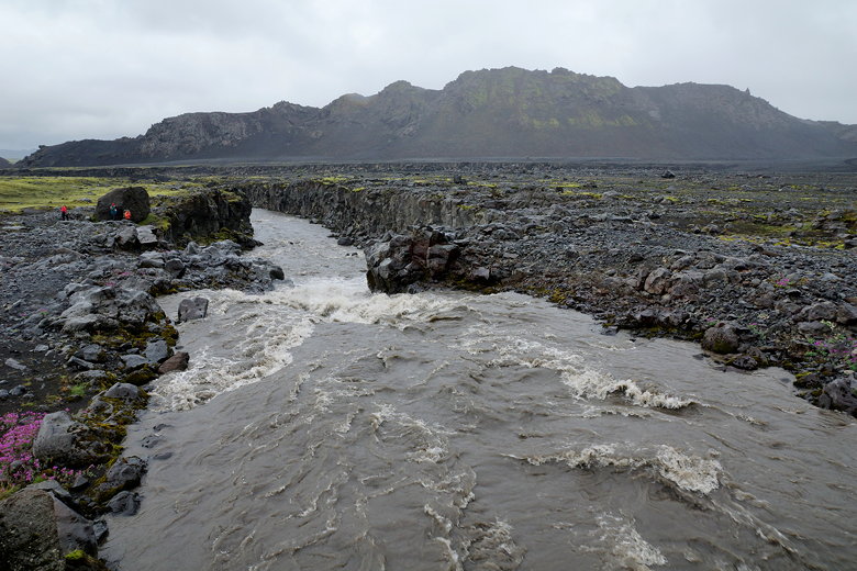
Innri-Emstrua River
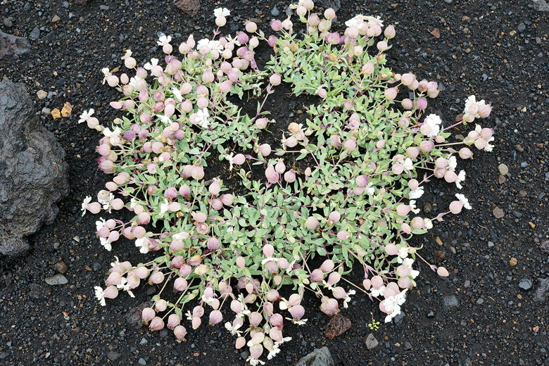
Flowers
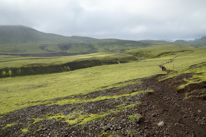
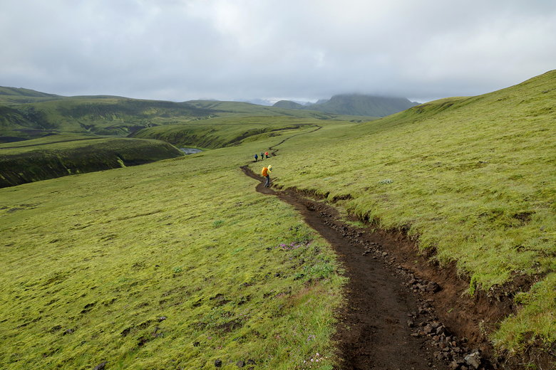
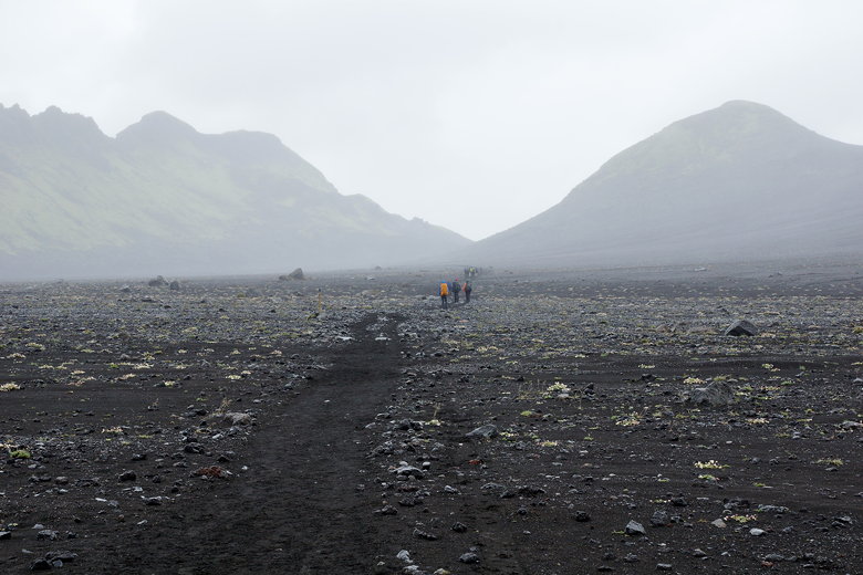
After what seemed like a very long time on flat terrain, we climbed a small
hill to a pass, then stopped for a snack break. The rain subsided, but it was a bit
windy now. It would get worse.
Approaching Útigönguhöfðar
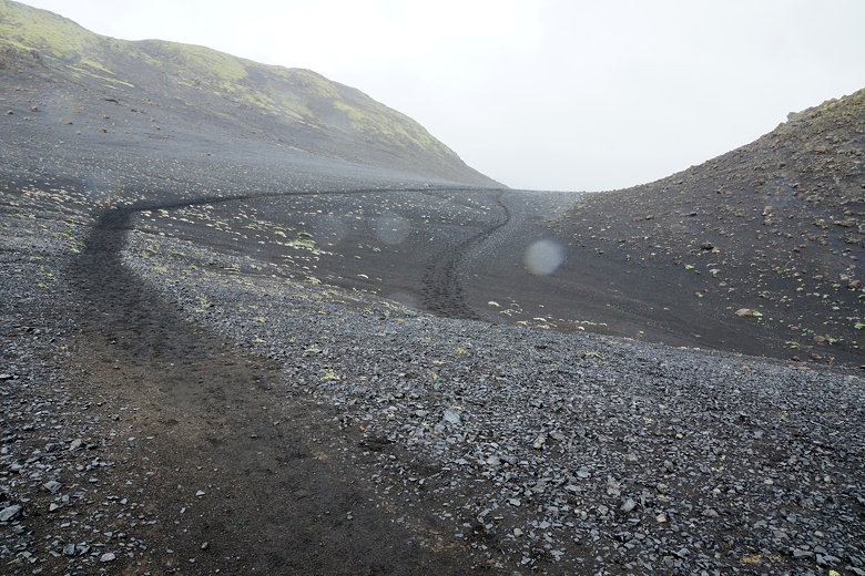
Looking back from the pass
Descending from the pass
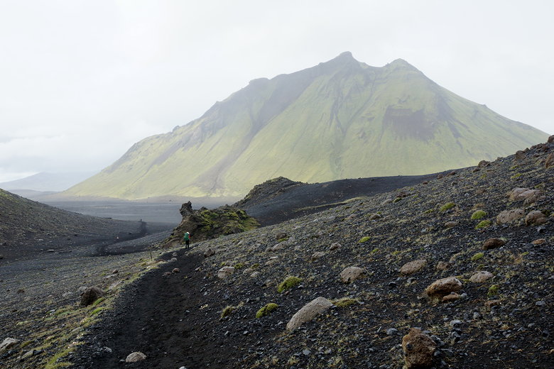
Hattfell mountain
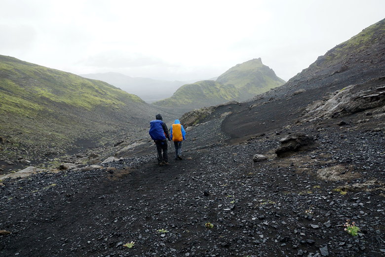
From the pass, we climbed down into another flat valley. The wind got worse.
We crossed over some water (narrow enough to jump over). The wind started
gusting, blowing sand into our faces. I'm sure I preferred the light
rain to this wind. The rain definitely slowed us down. I kept expecting to
see the hut, but each time I reached the top of a ridge, I would see nothing.
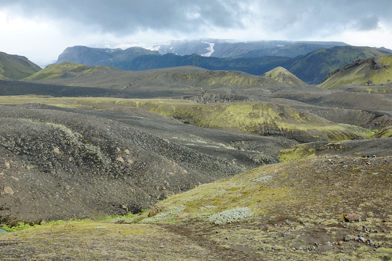
Finally, after the 3rd or 4th ridge, I could see the hut below, with a glacier
visible in the mountains above it. It was a reasonably pretty sight, but the
wind wouldn't allow me to take my camera out to take a picture.
Simple stream crossing
Hattfell mountain
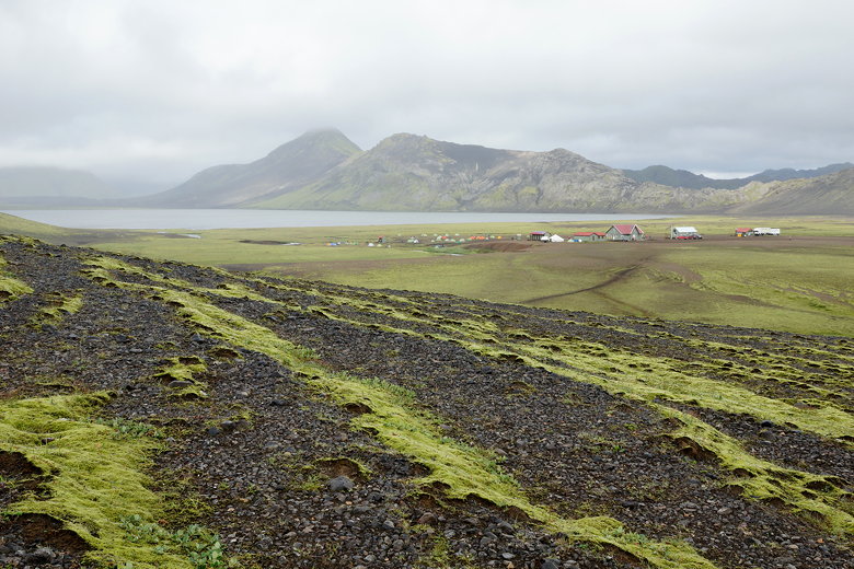
We went straight down to the hut and checked in. It was only about 3pm when
we reached the hut. There are 3 sleeping huts, each fitting 20 people.
We were in the middle hut.
I would have explored the area around the hut, but
the thought of walking around in that wind deterred me. Instead, we just
chilled in the hut, meeting some people we'd seen on the trail.
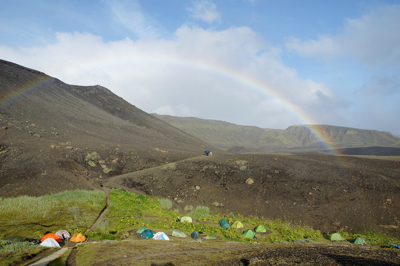
Rainbow over tents at Emstrur
View from Emstrur Hut
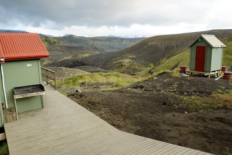
Structures at Emstrur Hut
After a shower and dinner, we just sat around talking. One of the people
in the hut was an Icelander (Anton). This was his 4th time on
the trail, so I asked him a few questions about what was upcoming. I was
a little worried about the Cat's spine - a narrow section of trail after
Þórsmörk, but Anton assured me that it wasn't as dangerous as it looked on
YouTube. He also gave us some advice for our upcoming rest day at the Volcano
Huts, and the rest of the hike to Skógar. Unfortunately he had to go back
to work, so he'd be taking the bus back from Þórsmörk tomorrow.
| 

