|
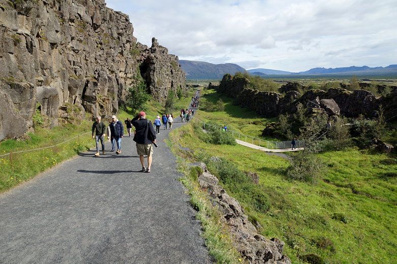
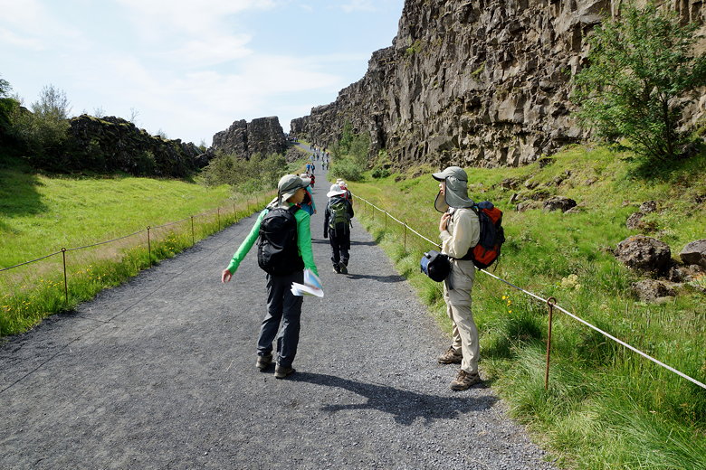
Expect to share this trail with a lot of people.
We started at the viewpoint of the lake, then followed
the paved trail downhill into the rift. The rift is clearly
visible as you walk through it; you're on the boundary
between the North American and Eurasion tectonic plates.
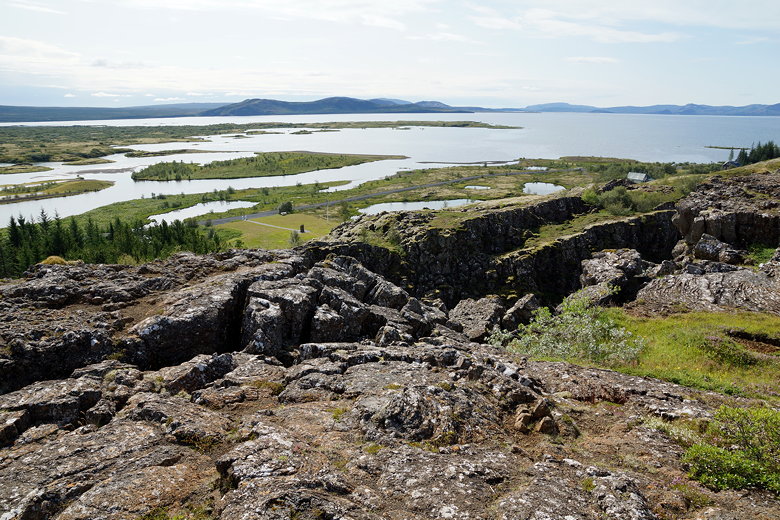
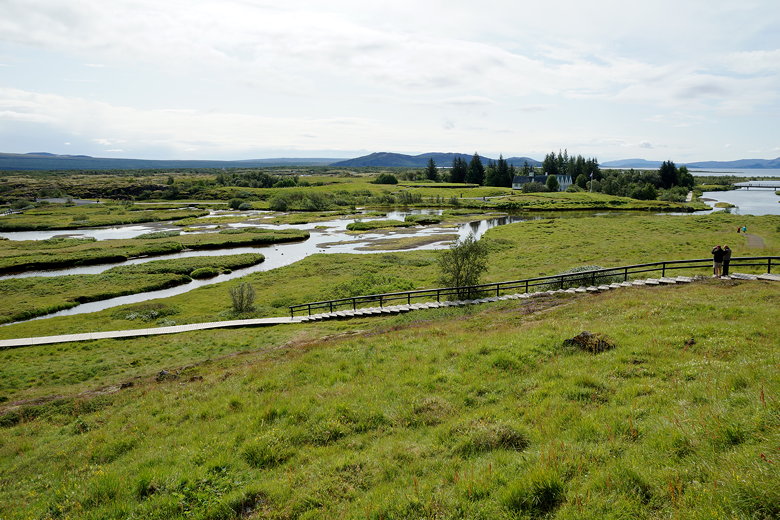
Þingvallavatn
Looking across the river
At one point you walk over a wooden boardwalk which had to be
built after the ground opened up in 2011. For the most
part you're walking over a solid gravel path, though.
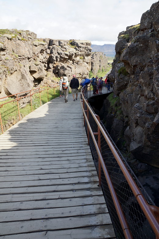
Boardwalk over the fissure that opened up in 2011
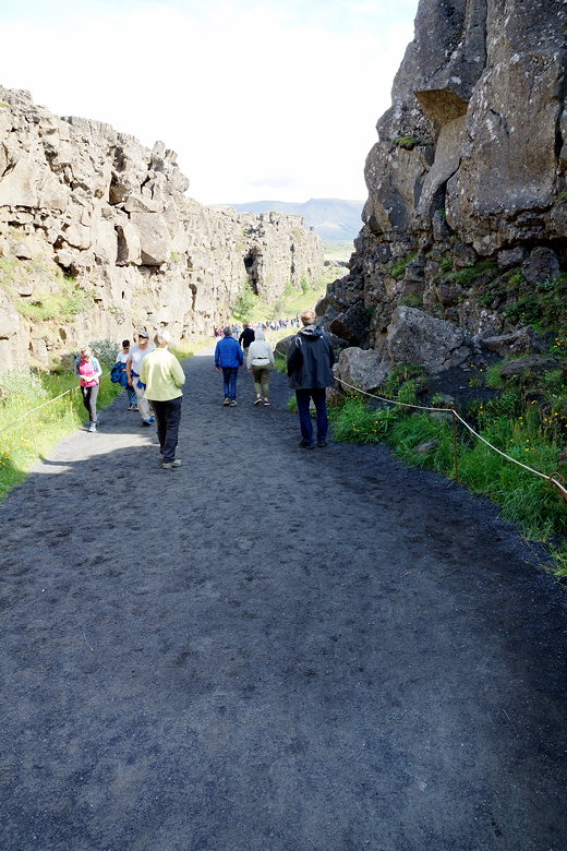
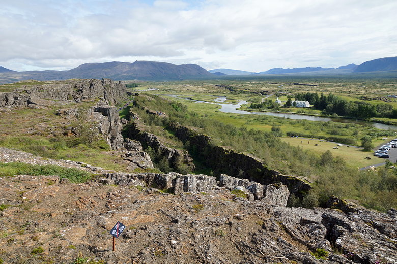
Path through Almannagjá fault
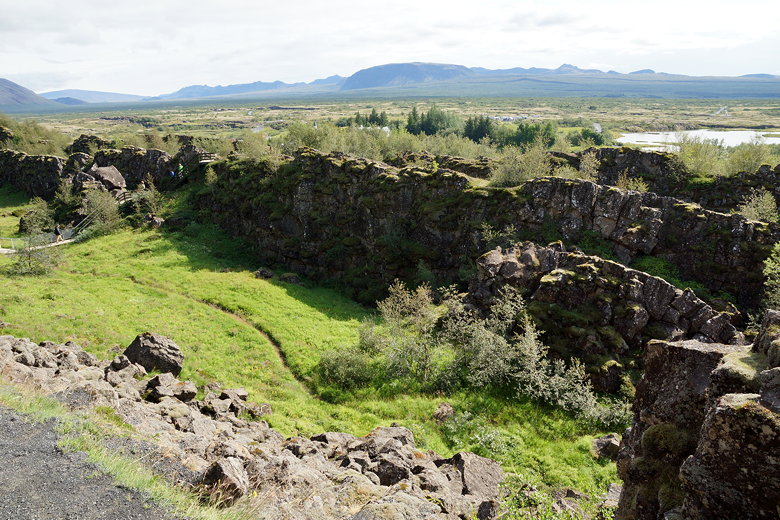
Almannagjá fault
Almannagjá fault
We continued downhill and had views across the river to
a church. The trail continues next to the Öxará river.
Eventually we turned left to visit Öxarárfoss, a small
waterfall with a viewing platform and tons of people milling
about, taking pictures and climbing closer to get a better view.
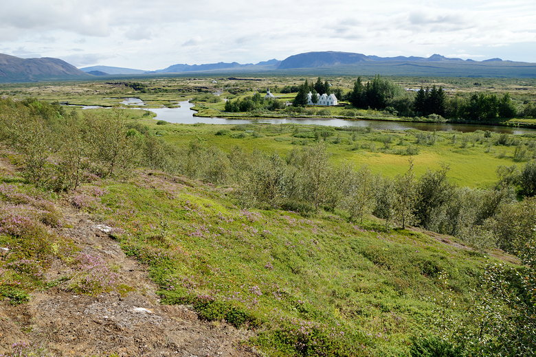
Þingvellir church and other buildings
Þingvellir church across the river
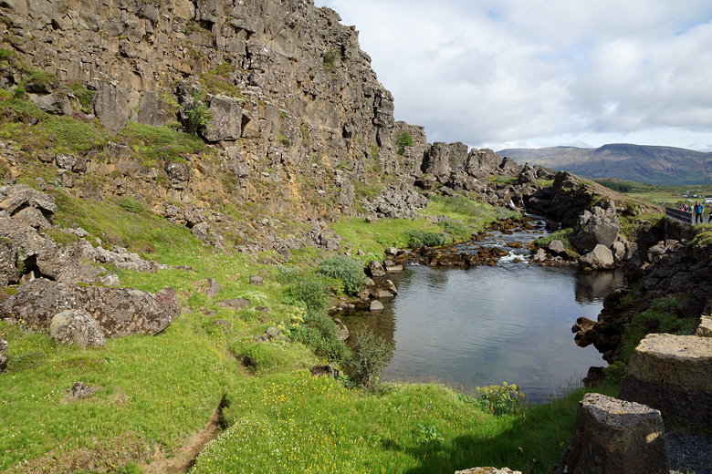
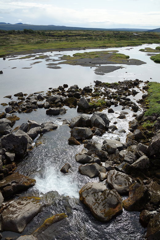
Öxará river
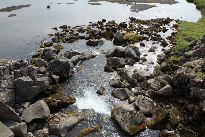
River
River
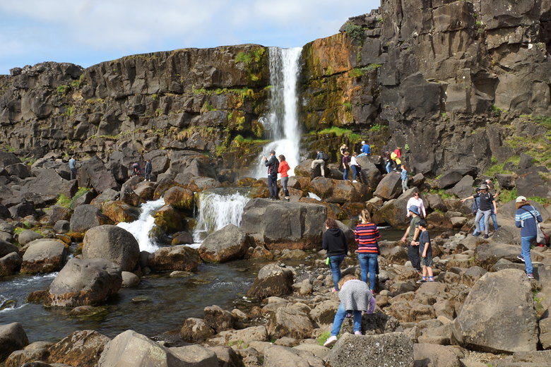
Öxarárfoss
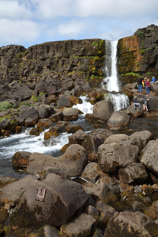
Öxarárfoss
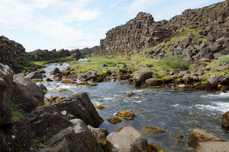
Öxará river
After the falls, we doubled back and continued along the trail
until we climbed to reach a viewpoint near another parking
area. A group of people were apparently starting a Game of
Thrones themed tour here.
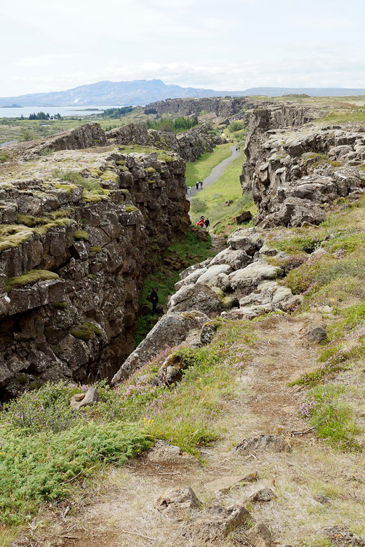
Almannagjá fault
We turned around and returned to the trailhead to complete the
short mostly out-and-back hike.
Path along the fault
| 

