|
Jean, Jennie, Renault and I arrived at the Fall Creek unit of Henry Cowell Redwoods
around noon. The dirt parking lot was almost completely full, but some people were already
beginning to leave, so we managed to find a good parking space.
The trail descends immediately toward Fall Creek, which was running fairly strong
even though it was late August. The entire trail is under the canopy of a thick
forest of redwoods, firs, maples, and other trees. The maple trees may merit a return
trip sometime in the fall.
We followed the trail along the rushing creek before heading left toward the old
lime kilns. There's not much to see here -- just some old stone remains with wire
fences protecting some of the entrances.
The trail then climbs up sharply and curves around counterclockwise. We soon found
ourselves a couple hundred feet above the creek. Around the corner there's a large
trail sign at an intersection. We took the left fork, which heads up steeply along
the Lost Empire Trail. After some switchbacks, the trail heads up an extremely steep,
narrow, dusty gully. It's straight up, no switchbacks to speak of, and not much
fun. We emerged several minutes later and continued a mild ascent.
The trail is supposed to top out around 1800 feet. The trail started leveling off
and we were getting hungry, so we found a pleasant trailside lunch stop with a
couple of logs perfect for sitting. Only a handful of people passed us while we ate.
Despite the fact that the parking lot was full, we saw relatively few people on the
trails. An added bonus for hikers is that mountain bikers are not allowed here.
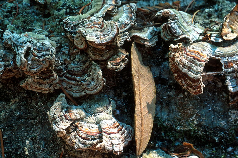
Some mushrooms growing on a tree
After lunch we continued up the trail, which shortly resumed its steep climb. At a
small creek crossing we passed a sign which said "Lost Camp". After climbing some
more we ran into a group of 3 somewhat lost hikers. I showed them the map I was
carrying and pointed them in the right direction, which was the same direction we
were heading. It's always good to carry a map, even in parks such as this where
the trail signs are very well-marked.
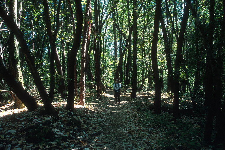
Jean in the forest
Shortly after meeting them, we arrived at the Big Ben tree -- a virgin redwood tree
which towers at least 100 feet above the ground. It was impossible to tell how tall
it was because the canopy prevented us from seeing all the way to the top of the tree.
From here, it's mostly downhill all the way. We kept to the right and took the Big
Ben trail down to the intersection with the Fall Creek Trail. From there, we just
followed the creek downstream.
We passed the remains of the Barrel Mill, which was used to create barrels to transport
the lime. There are several stream crossings, but certainly none of them difficult
in late August. Perhaps they'd be more interesting in peak runoff time in the spring.
Certainly winter would be an interesting time to be here. Strewn throughout the canyon
are dozens, maybe hundreds of downed trees, ripped from ground by some past winter's
storm. Some large trees even spanned the canyon, providing a precarious 50 foot
walkway.
The trail grew very dark even though it was only 5pm. The hills and tree cover made
sure of that. As soon as we rounded the corner close to the lime kilns, we saw the light
of day. Soon after that we were back at the parking lot in bright sunlight, one of the
last few cars in the lot and ready for a good dinner back in Los Gatos.
| 

