|
I hiked in Fremont Older Open Space Preserve.
There were a few cars in the parking lot -- mid-afternoon on a
weekday. Mostly mountain bikers, getting ready to hit the trails.
I parked and started up the Cora Older Trail, which climbs gently
for a half mile.
As far as I can remember, I'd only done one hike by myself before
-- the Transept Trail in Grand Canyon National Park. That was
different though, because I was close to hundreds of people (most
of whom were asleep at the time). This afternoon, I was completely
alone for the first 90 minutes of the hike. I was fine on the
big fire trails, but I admit to being just a little spooked when
I went onto the singletrack.
I turned left onto the Hayfield Trail. Eucalyptus trees dominated
the area. I soon entered the forest along singletrack, amidst
a swarm of tiny little bugs, perhaps attracted to the piles of
horse shit. It was 4pm and I was sweating like a P-I-G under the
relentless sun. It was definitely summer.
I continued on the Bay View Trail to the Toyon Trail, which led
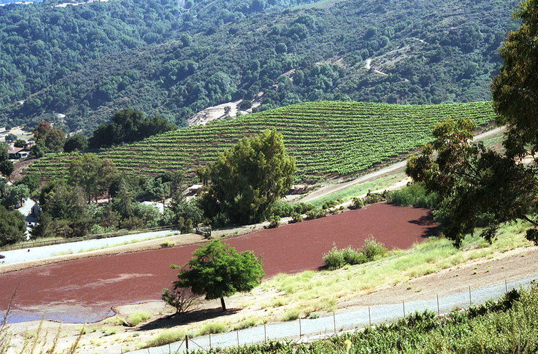
me to a gate. From here I had view of Garrod Farms -- rows of
green plants dotted the hillside over the private property fence.
I skirted the fence and climbed to the top of Nob Hill. There's
not much to see. A small antenna on top, a few of the smog below
Mt. Hamilton and the rest of the Diablo Range. I continued down
the other side and up the Coyote Ridge Trail.
Garrod Farms
There's a myriad patchwork of trails throughout the park, and
most of them go up and down the rolling hills. I soon found myself
at Maisie's Peak, which has a better view of the area. From here,
you can see the golf course near the parking lot. Yippee.
I continued for another 0.3 miles along the Coyote Ridge Trail
before turning right and then left onto the Hayfield Trail toward
Hunter's Point. It was about 5:30pm, and I encountered other people
for the first time since I'd started. 3 mountain bikers. From
then on I encountered lots more, as people getting off work started
to roam the preserve.
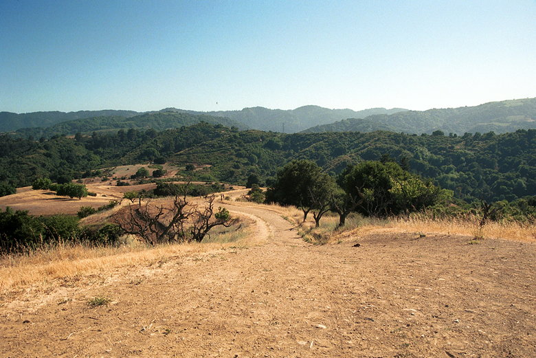
View from Hunter's Point
Hunter's Point has one of the best views in the park. Nice views
of Santa Clara Valley to the east, and views of the park to the
west. I snapped some pictures before heading down the other side
and then turning right toward the eastern park boundary.
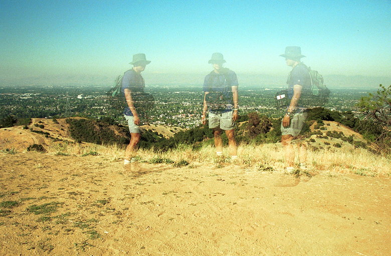
Me having fun with my new camera
Bikes soon started passing me in both directions. A few made comments
on my trekking poles. Of course there was one reference to skiing.
But I also had my first positive comment from a cyclist -- "those
poles are great for hiking, aren't they?" I was surprised a cyclist
would say that. Must be a closet hiker.
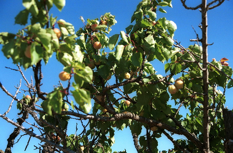
Fruit tree encountered along the trail
I continued onto the Seven Springs Trail. This is one of the most
lush areas of the park, with ample shade and actual ferns, and
no eucalyptus to speak of. Of course it's nothing compared to
Purisima Creek -- or even the lower section of Black Mountain.
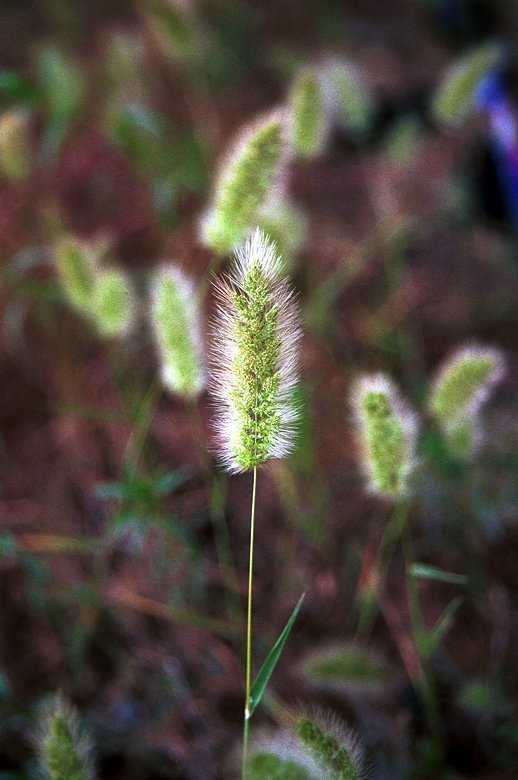
Fuzzy plant
I popped out into the open and soon retraced my steps down the
Cora Older Trail, back to the parking lot (which was now almost
completely full). A fairly uneventful hike with some nice views.
Probably best hiked in the morning, when mountain bikers are few,
and smog is less prevalent on the horizon.
| 

