|
After such a relatively long drive on an unpaved road, I was surprised to see as many cars as I
did in the parking lot. The dirt parking lot was almost completely full by the time we arrived around noon. However,
you needn't worry about parking, since there is ample space to park by the side of the road
before the parking lot. Several people who arrived after us did just that. In all, there were
close to 20 cars parked here.
There was definitely no chance of snow today, in fact it was downright hot at times. The
trailhead has pit toilets, but no drinking water, so be sure to bring plenty.
This is also the trailhead for the Golden Throne, but it seemed like most people were doing the
same hike we were -- walking up Capitol Gorge to the Tanks. We walked through the shaded picnic
area at the trailhead, then started off along the dead-flat trail.
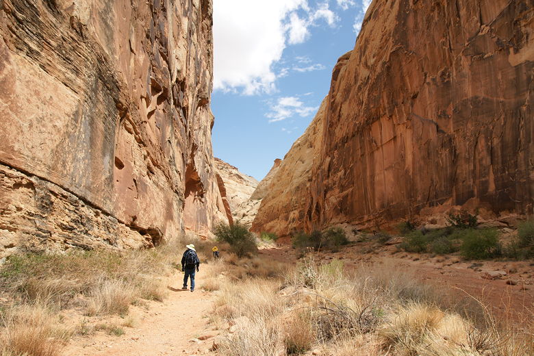
Near the start of the trail
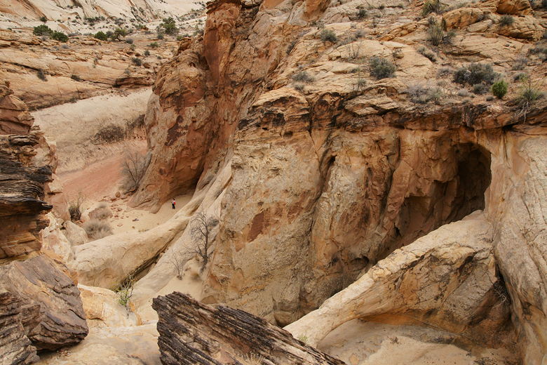
The trail begins by hugging the left canyon wall. The walls rise up steeply on either side, perhaps
100 feet high. The width varies, sometimes wide, but at other times down to perhaps 40 feet or less.
This beginning section is wide, and the trail shortly comes to a spot where there are petroglpyhs
on the wall to the left. Shortly after this, the trail descends down to the wash and the
trail simply follows it up the gorge the rest of the way. There is no need for trail markers
anymore, since you can't turn left or right because of the steep walls.
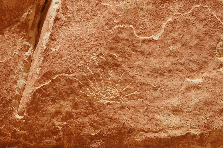
Petroglyphs
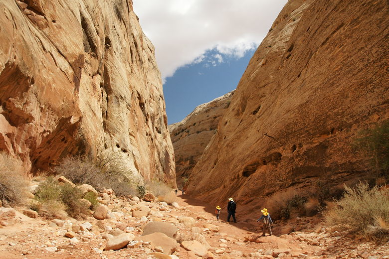
Heading into a narrow section
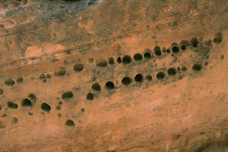
Some of the rows of holes in the wall
Parts of the walls are pocked with holes in interesting patterns. The next point of interest
is the Pioneer Register. Travelers in the 1800's and early 1900's left their names carved on this
section of rock. It's kind of a free-for-all (don't expect an orderly procession of names).
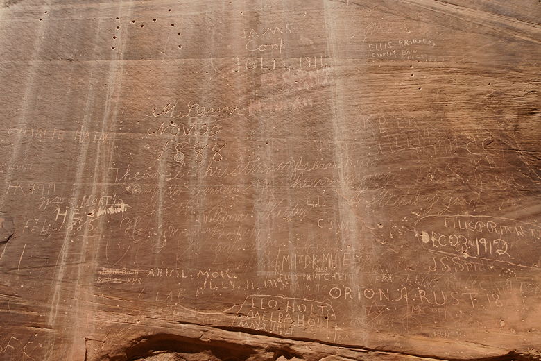
Part of the Pioneer Register
After about a mile from the trailhead, we reached a sign pointing up to the left -- 0.2 miles
to reach The Tanks. A woman coming down saw our two kids and said "Have fun, but it's the hardest 0.2 miles
you've ever done." This certainly wasn't true, but compared to the entirely flat walk we'd just
done, sure it was a lot harder. It scrambles up over rocky steps, providing views of the
surrounding area.
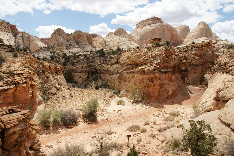
Looking back down at the trail
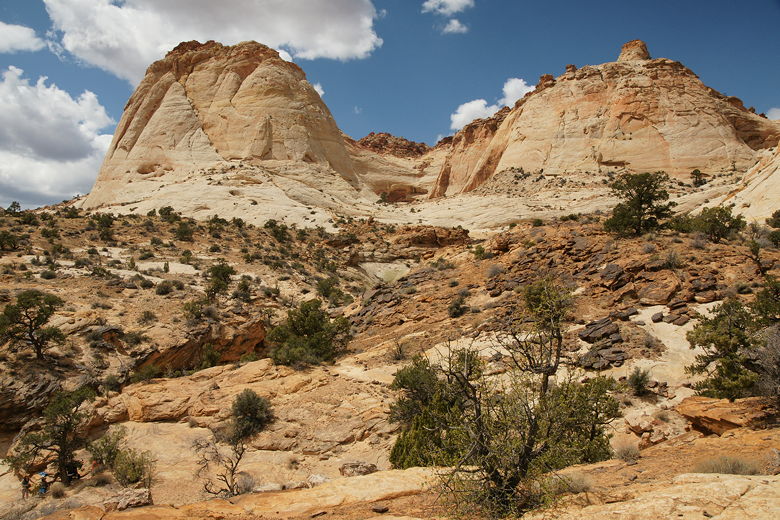
Two mountains
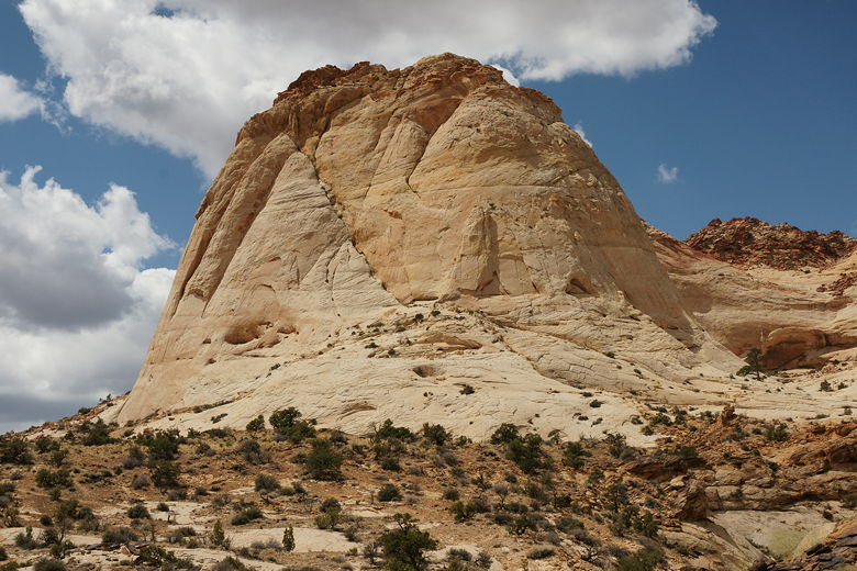
Reminds me of a similar mountain in Zion
After the climb, we reached The Tanks, but they were a bit of a disappointment. These are large
pockets in the rock which hold all-important water in the desert. Unfortunately, when we arrived,
they were completely dry. Well, one was a little damp at the bottom. All we could see was
two gaping holes, and one of them had a hole forming on the side so it probably wouldn't hold
much water, anyway. Also, if you come up this way, be sure to look to your left after you stop
seeing the rock cairns marking the trail. The trail actually doubles back to the left to the
Tanks; if you follow the natural progression of the trail, you'll end up missing it.
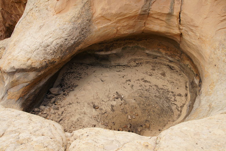
One of the tanks
Looking down at the trail from the tanks
We sat down for lunch anyway. After lunch we scrambled up above the tanks and actually did find
a few puddles of water, but nothing exciting. We returned to our lunch spot. Far below us,
near the gorge trail, I could see people climbing up and down the rocks, perhaps trying to find
a way to reach the Tanks from there. Eventually they gave up.
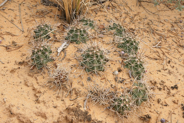
Some sort of cacti
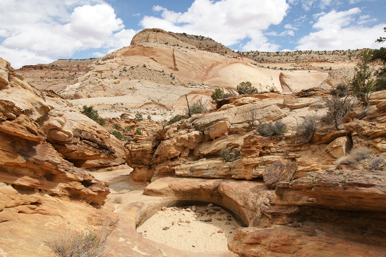
Looking back from past the tanks
We then returned the same way we came.
| 

