|
The Cap Rock Nature Trail is a short flat walk originating near the base of Cap Rock, a collection
of quartz monzonite boulders which
gets its name from the hat-like rock at the top of it. Cap Rock is a popular place for rock
climbers, so you'll probably be able to watch them. There are also a few picnic tables near the base.
The large parking lot, capable of holding perhaps 40 cars, was only about 1/4 full when we
arrived. At the trailhead, we immediately had to decide whether to go left or right. It's a loop
so it doesn't really matter; we chose left. There's no need for pamphlets for this nature trail,
since there are a series of small metal signs which give descriptions of the plants along the
trail.
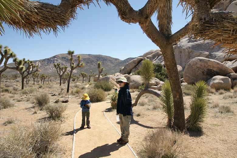
Starting off on the trail
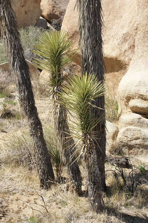
Little Joshua trees
The trail doesn't actually encircle Cap Rock itself. It starts at the base but instead does
a loop around another collection of boulders. Kids will probably have fun climbing up and down
the rocks. Other than that, there's mostly Joshua Trees and cactus. We also saw caterpillars
building nests in some bushes.
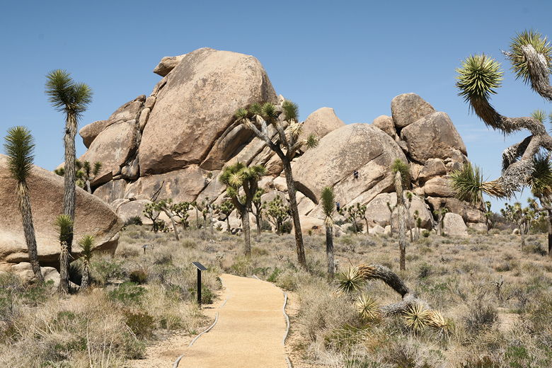
Cap Rock
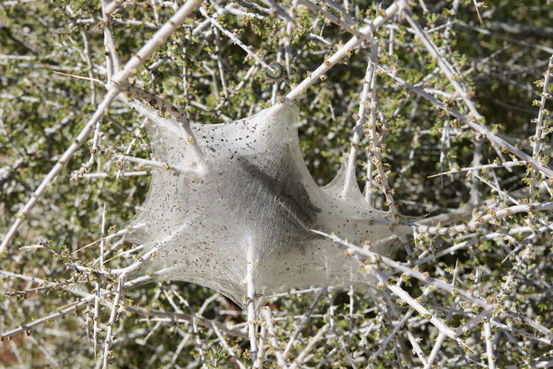
Caterpillars
| 

