|
When we arrived, we saw that were patches of snow at the trailhead (at 4875 feet), but
I knew that the trail was fairly level and paved, so I wasn't worried. It was, however, quite cool
at the trailhead. We put on gloves and rain pants for warmth. It wasn't actually raining, but it
looked like it might.
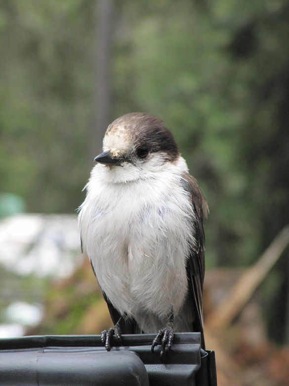
Bird on our rental car at the trailhead
While we were getting ready, a man asked me to help him push his car. Somehow, he'd gotten his car stuck
in a small patch of snow and ice in the parking lot. I'd later see several cars go through the same
patch -- they'd lose control, but all make it through. His car, however, was stuck pretty good.
We tried pushing, but didn't make much progress. Eventually we left him to start our hike.
From the trailhead, there are two trails. The one to the left leads to Rainy Lake. The one to
the right leads to Lake Ann and Maple Pass. The Lake Ann trip is a 4 mile out and back trip, while
the Maple Pass loop is 7.2 miles. Our destination today was Rainy Lake, just one mile from the
trailhead.
The path is supposed to be wheelchair-accessible, paved the entire way and mostly flat. However, it
is not wheelchair-accessible
early in the season. Snow patches covered the path in several places. A 2-foot thick tree
felled on top of the trail closer to the lake also made it impassible for wheelchairs. Perhaps
later in the season they'll saw through it.
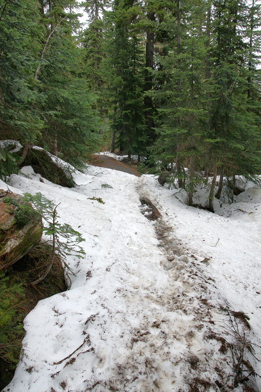
Snow on the trail
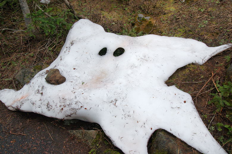
Snow patch or snow ghost?
There are interpretive signs along the way, identifying the trees on either side of the trail.
Shortly, we crossed a bridge with a nice view of a series of small cascading waterfalls on our
right. Very shortly after that, we crossed a second bridge with a much louder and larger waterfall
also on our right, formed I would guess by Lake Ann Creek.
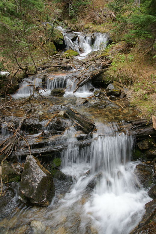
First of the two cascades
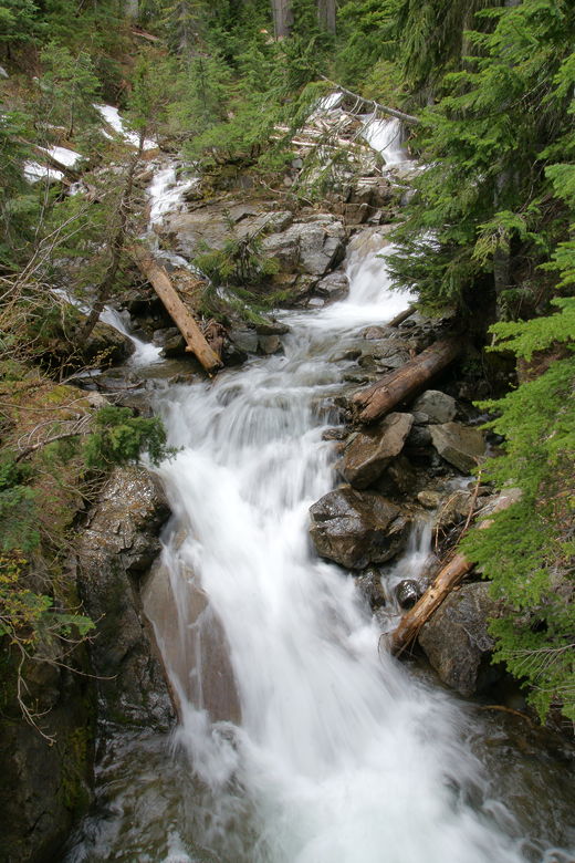
Second (and larger) cascade
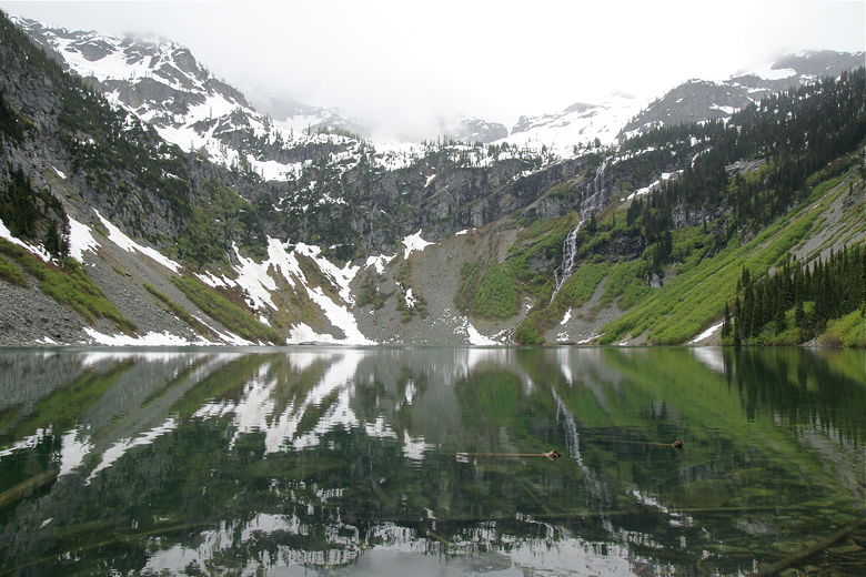
After climbing over the aforementioned tree, we reached Rainy Lake. The trail ends in a
paved viewing area with an interpretive sign and 2 benches. The lake itself sits in a glacial
cirque, with snow-capped mountains rising right from its shores. We could see a waterfall at
the other end of the lake, streaming down into the lake.
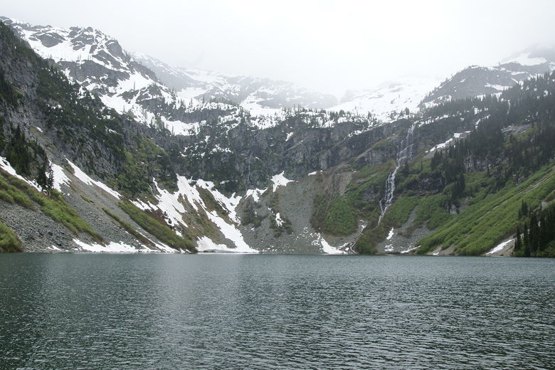
Rainy Lake
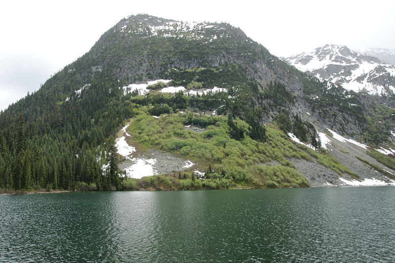
Rainy Lake
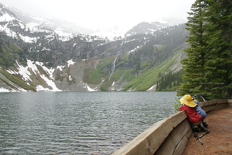
Viewing area at Rainy Lake
As befitting its name, when we arrived at Rainy Lake it started to rain. We set up the tarp over one of
the benches to have lunch there. Although relatively light, the rain continued unabated pretty much the
whole time we were there, stopping about the time we were done with lunch. Afterwards, we
explored the dirt use trail that leads from the far end of the viewing area. After a very short walk,
we arrived at a nice spot by the shore. No benches or interpretive signs here, but a small relatively
flat area and a fallen tree to sit on. After a brief stay, we started the return journey, back the
way we came.
Rainy Lake from the spot by the shore we found
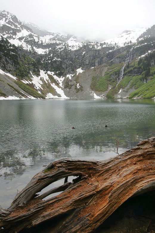
Rainy Lake
While I suspect that this might be a popular trail later in the summer, early in the season it's
relatively quiet. We encountered a few people on the way in, but no one on the way back.
After the hike, we saw that the man had finally freed his car. Although I did see other cars
navigate that patch successfully, I decided not to take a chance and went the other way, avoiding
it entirely.
| 

