|
The day use lot at the trailhead was almost completely full. There's a bathroom here and
a pamphlet for the Thunder Woods nature trail, which shares the same trailhead (and part of
the same trail).
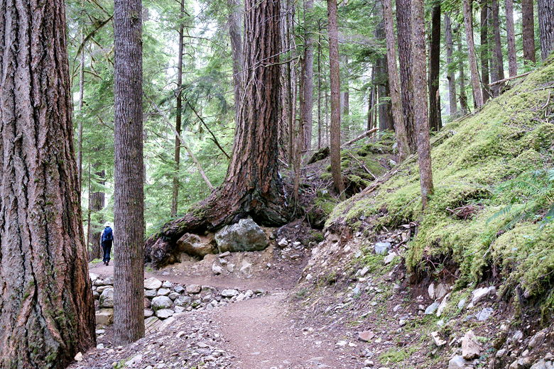
We started the hike and immediately passed by the campground amphitheater on the left.
Although the trail is relatively level, it does undulate ever so slightly. In fact the
trail is never really completely flat.
The trail follows the Thunder Arm of Diablo Lake. The lake is visible through the trees
to the left. We passed an unmarked trail on the right and kept going.
Soon we came to a signed trail intersection, the right fork leading to the Thunder
Woods nature trail. We continued straight, following Thunder Creek upstream.
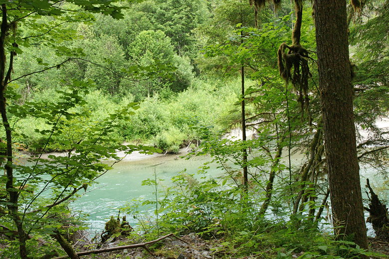
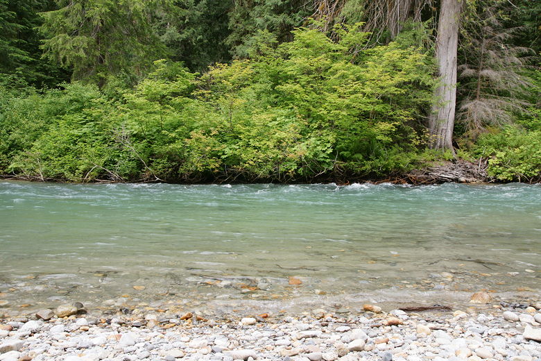
View of the Thunder Creek waters next to the trail
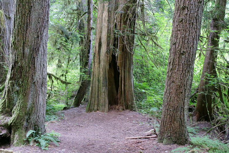
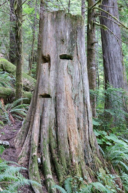
Hollow tree next to the trail
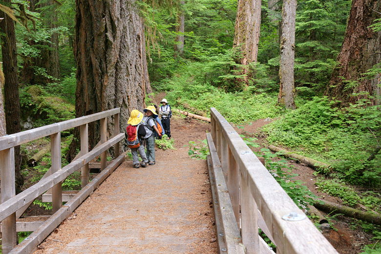
The trail passed through a nice mossy forest. Along the way we saw lots of mushrooms and
slugs. Unfortunately we also had to walk past horse shit on the trail, as they're apparently
allowed on the trail (although we didn't actually see any horses). Dogs are also allowed on the trail,
and we saw plenty of them, as well as other hikers. This is a very popular hike, perhaps partly
because it starts in the campground.
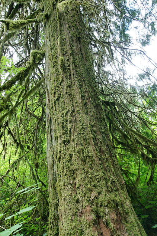
Moss-covered tree
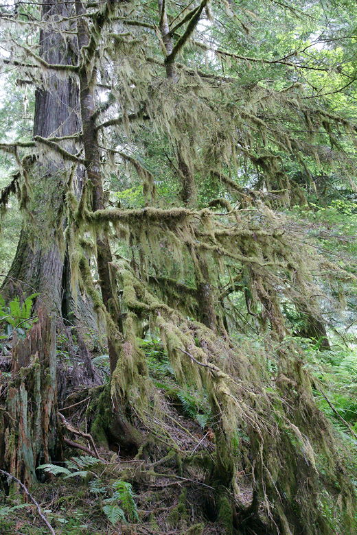
Mossy tree
There are a few spots on the trail where ferns and other vegetation is starting to encroach
on the trail. These are generally brief, however. There also aren't as many tree roots on
the trail, which was a problem on the Pyramid Lake hike.
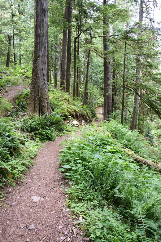
Continuing through the forest
As we hiked, the sun finally started to come out, although it went into hiding again by the
time we reached a footbridge over Thunder Creek. Apparently there used to be a bridge
closer to the trailhead, but it was damaged in a flood in 2003. I've read conflicting reports
as to the exact distance from the trailhead to the new bridge, but my best estimate is 1.5
miles.
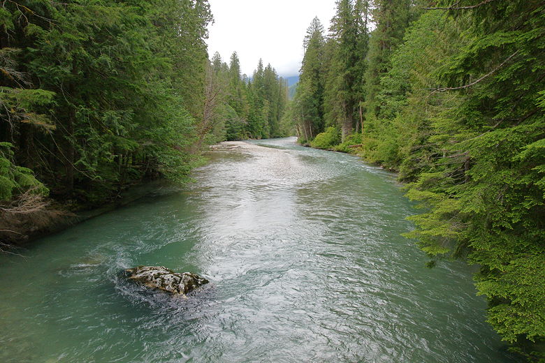
Thunder Creek from the bridge
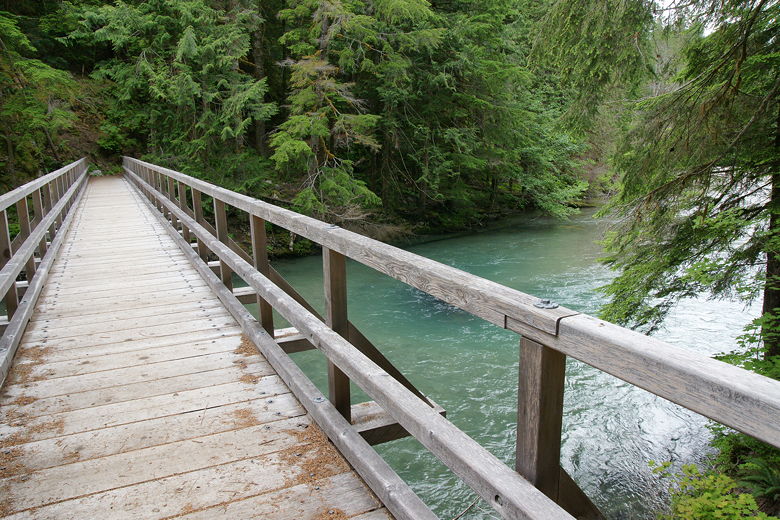
Bridge over Thunder Creek
We crossed the bridge and started looking for a spot by the shore to take a break. Somehow we
instead ended up in someone's campsite. We'd missed the subtle sign telling us that the trail
we were taking was the trail to the Thunder campground (instead of the word "campground" there was
a crude campground symbol on the sign). We weren't the only one to make that mistake, as another
hiker made the same mistake just before us (but didn't bother to tell us).
Opposite end of the bridge over Thunder Creek
We eventually decided to backtrack, crossing back over the bridge and finding our way down to the
gravel bar further downstream. There looks to be a perfect picnic spot between the gravel bar and
the bridge, except for the one fact that it doesn't have many rocks to skip. So we opted for the
gravel bar instead.
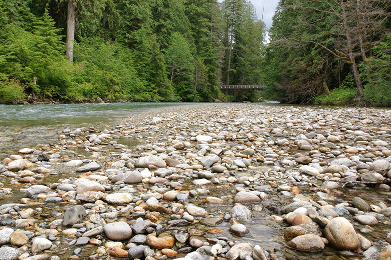
View of the bridge from the gravel area
Thunder Creek
A little stream separated us from the main gravel area next to the creek. After considering our
options I decided that our best bet was to simply take off our boots and walk barefoot across it.
It was only about 6-10 inches deep and maybe 10-15 feet in width, but icy cold. I carried my
son across it, with me yelping all the way.
Once on the main gravel bar, I was a bit worried to note that the sand was wet. Being a bit
worried about rising water levels, we didn't stay very long. I suspect that the area we were
on probably becomes submerged during rainy weather, or if the dam downstream releases less
water than usual.
After a brief rest and some rock skipping, we returned to the main trail and went back the
way we came.
Heading back along the trail
Someone with an axe has a sense of humor
| 

